Functional temporarily unavailable
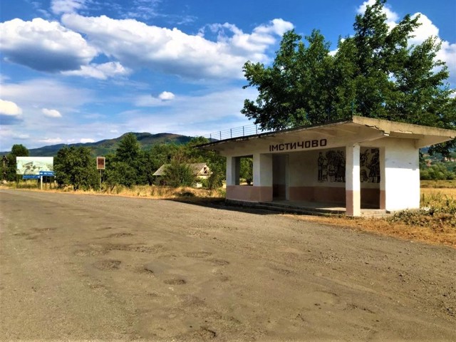
General information about Imstychovo
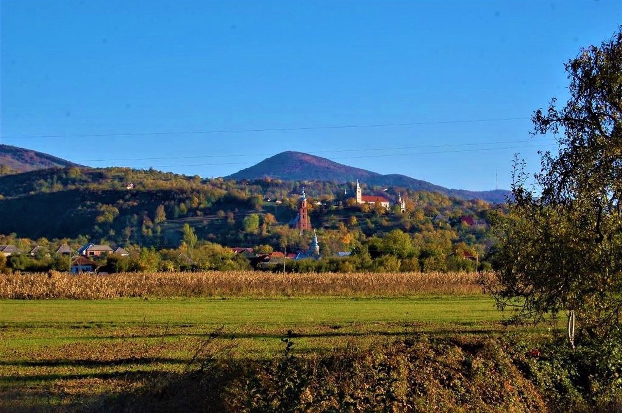
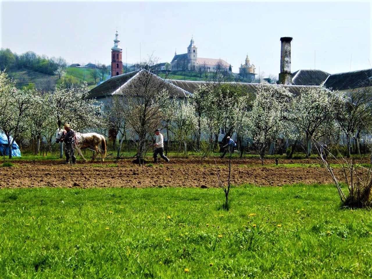
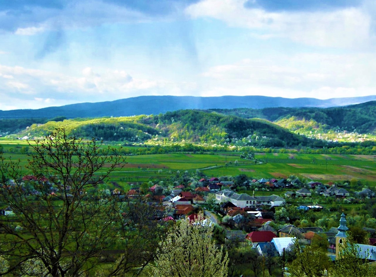
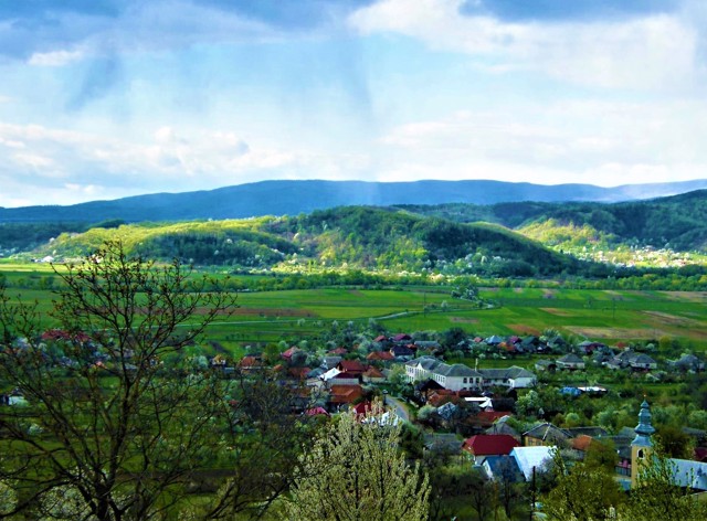
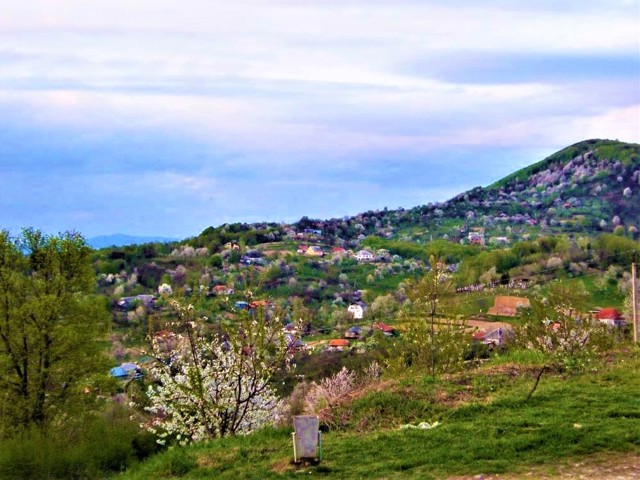
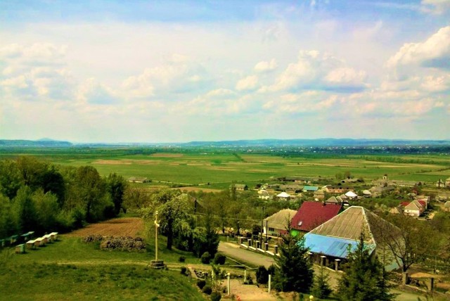
The village of Imstychovo is located in the valley of the Borzhava River, 10 kilometers east of Irshava.
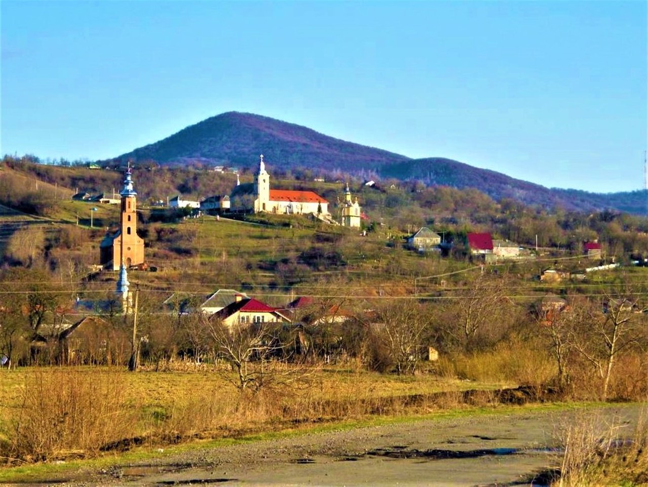
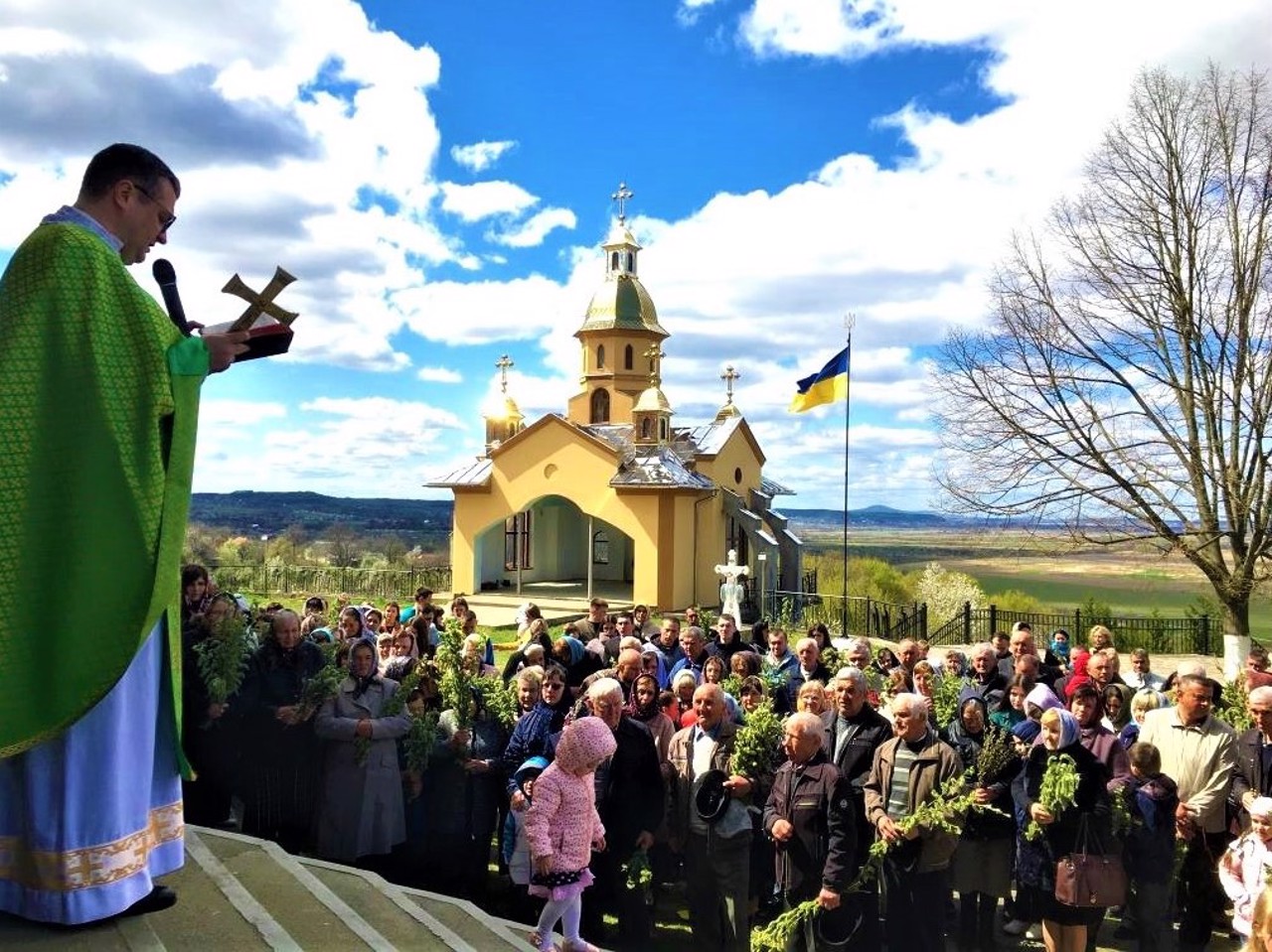
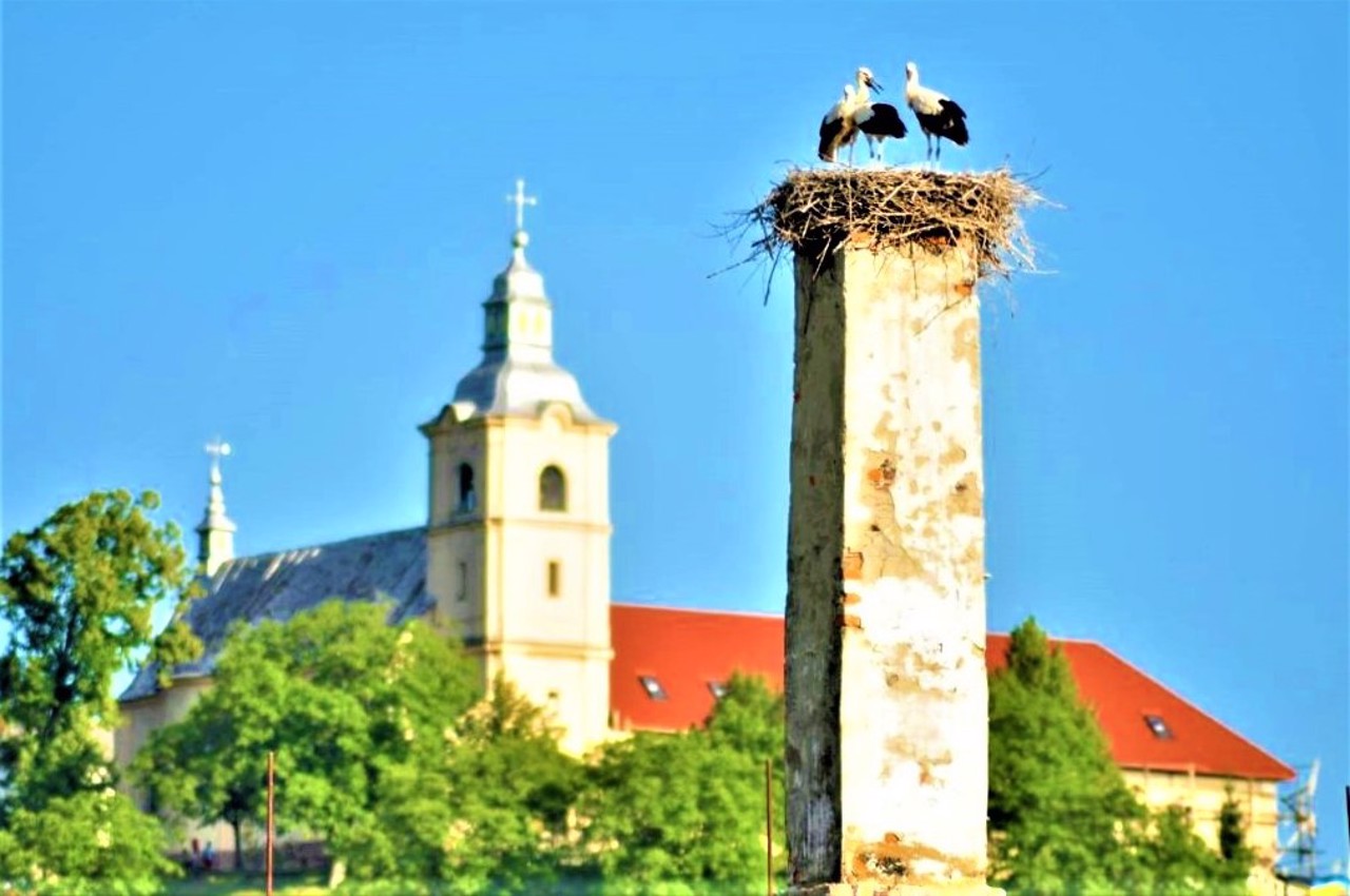
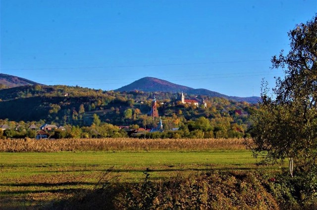
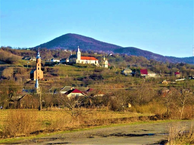
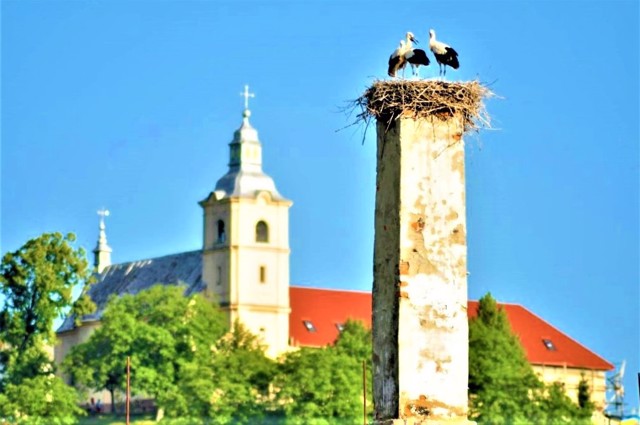
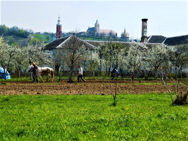
It was first mentioned in 1351 as the Ruthenian settlement of Mistice. It belonged to Hungarian feudal lords for a long time. In 1661, a Basilian monastery was founded on the mountain above the village. The current monastery complex with St. Michael's Church was built in the 18th century.
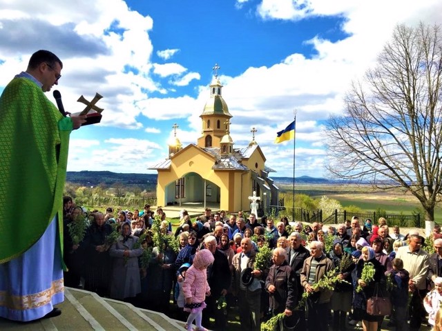
In the center of the village, the Orthodox Church of the Nativity of the Virgin (18th century) has also been preserved, and halfway between the village and the monastery - another parish church. The old water mill is still functioning.
Село Імстичово розташоване в долині річки Боржава в 10 кілометрах на схід від Іршави.
Вперше згадується в 1351 році як русинське поселення Містіце. Тривалий час належало угорським феодалам. В 1661 році на горі над селом був заснований василіанський монастир. Нинішній монастирський комплекс з Михайлівською церквою споруджено в XVIII сторіччі.
В центрі села також збереглася православна церква Різдва Богородиці (XVIII століття), а на півдорозі між селом і монастирем - ще одна парафіяльна церква. Дотепер функціонує старовинний водяний млин.
Сплануй своє перебування у Imstychovo
What to see and where to go in Imstychovo
Reviews Imstychovo
Geographical information about Imstychovo
| {{itemKey}} | {{itemValue}} |
|---|---|
| Region |
Zakarpattia |
