Functional temporarily unavailable
Rudnia-Zamyslovytska
Travel guide online Rudnia-Zamyslovytska
General information about Rudnia-Zamyslovytska
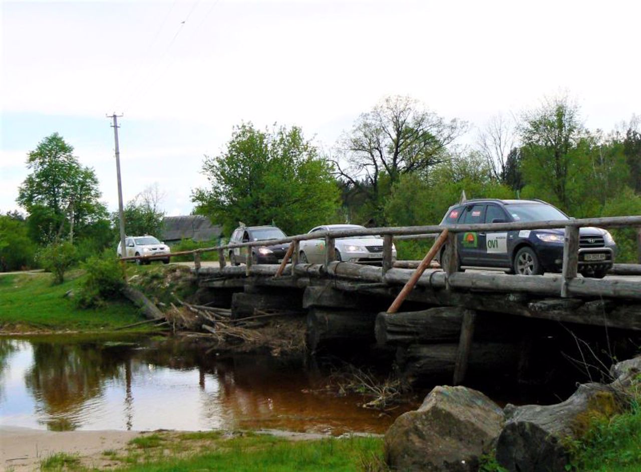
The small village of Rudnia-Zamyslovytska is located in the depths of the Polissya forests, 25 kilometers northeast of Olevsk, 25 kilometers from the Belarusian border.
Rudnia-Zamyslovytska (Zamyslovetska) was founded in the 16th century. The word "Rudnia" in the name indicates that iron ore was mined in the local swamps. The population is now only 93 people.
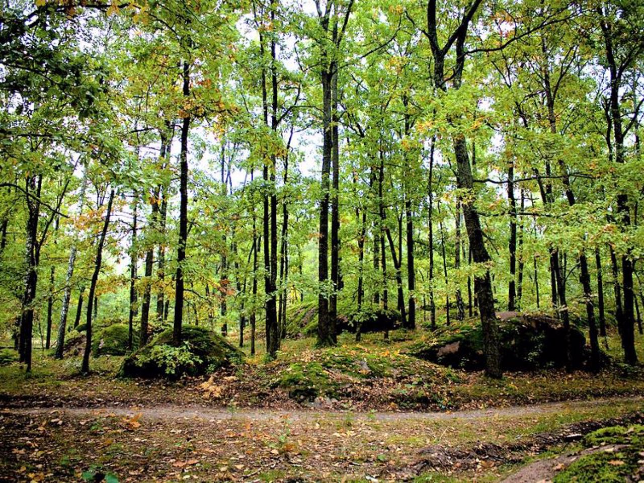
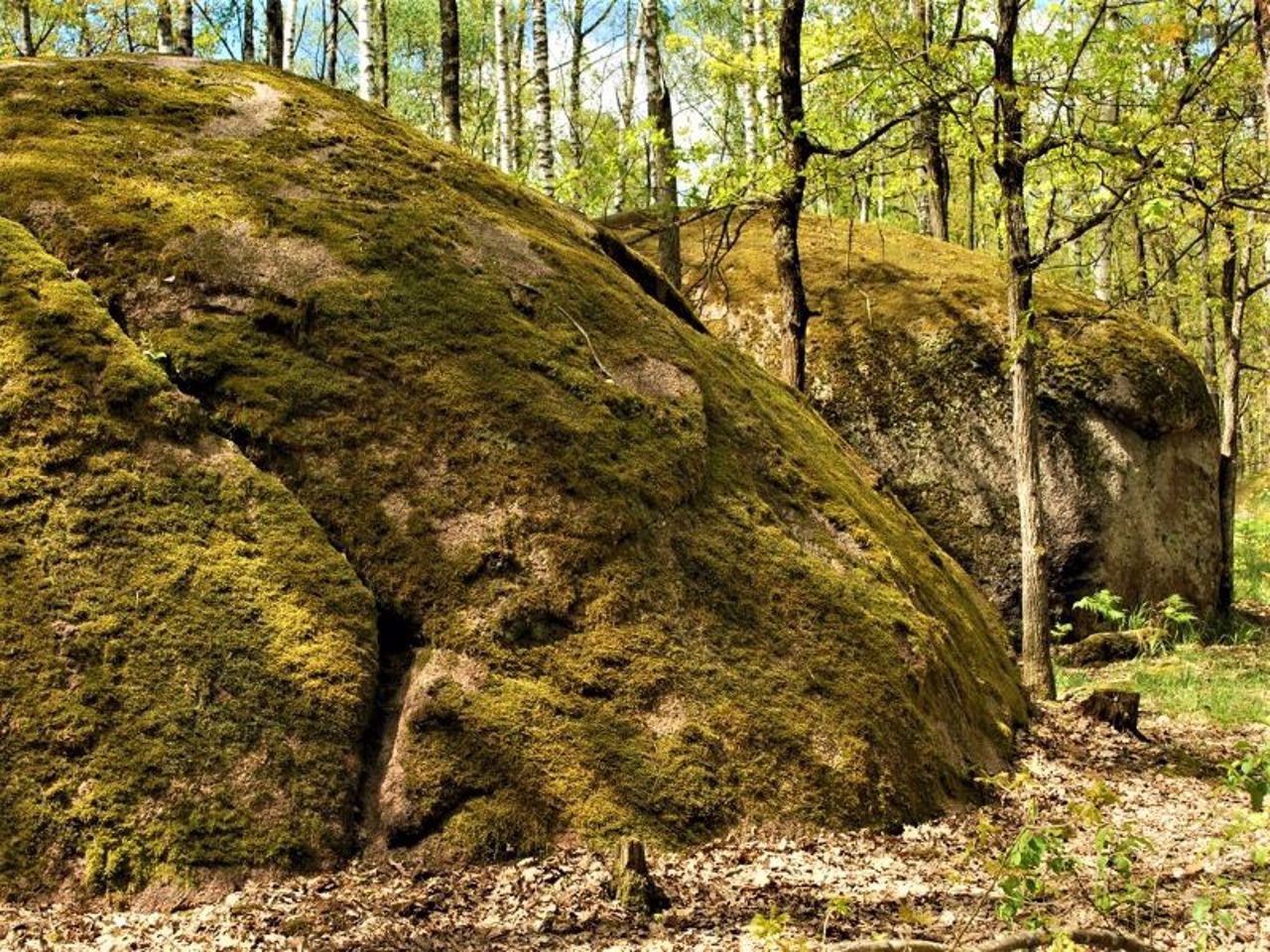
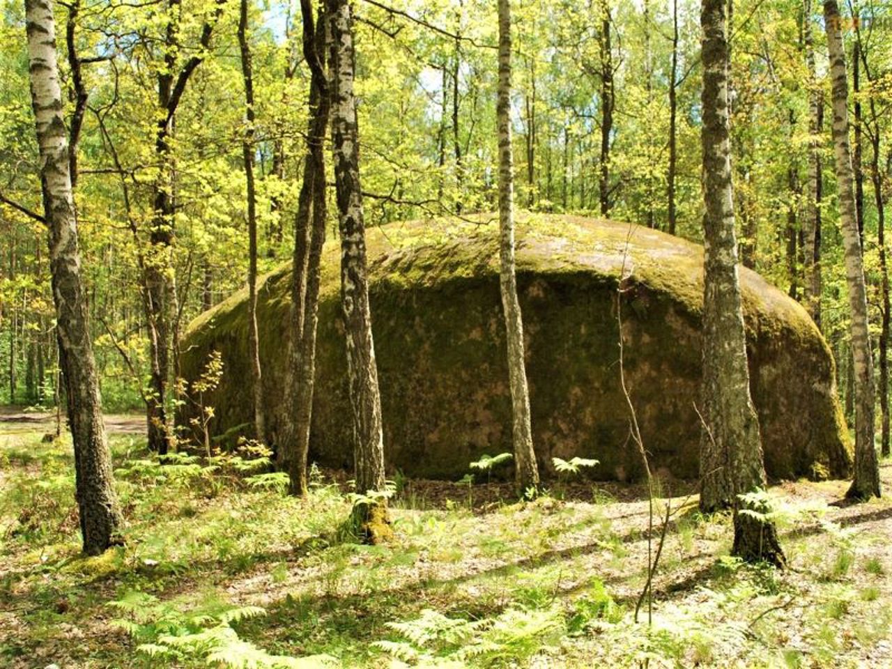
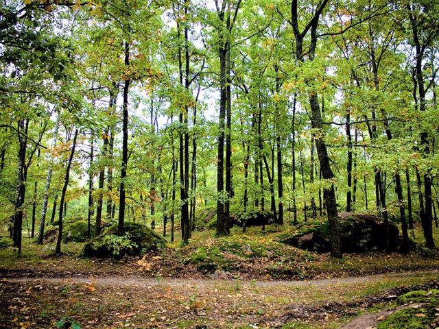
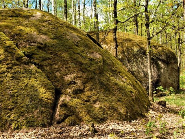
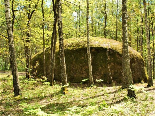
Nearby is the state reserve "Kamyane Selo". Giant boulders, brought by a glacier 20 thousand years ago, are scattered in the middle of the forest.
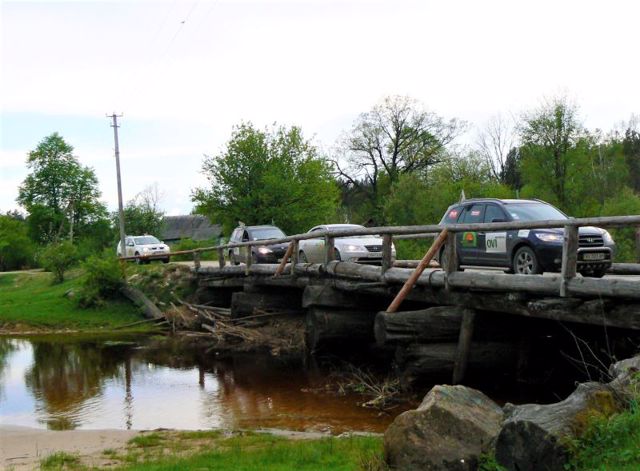
You can drive to the village only on dirt roads, there is no tourist infrastructure.
Маленьке село Рудня-Замисловицька розташоване в глибині поліських лісів, в 25 кілометрах на північний схід від Олевська, 25 кілометрах від білоруського кордону.
Рудня-Замисловицька (Замисловецька) заснована в XVI сторіччі. Слово "рудня" в назві говорить про те, що в тутешніх болотах добували залізну руду. Населення зараз становить всього 93 особи.
Поруч знаходиться державний заказник "Кам'яне село". Посеред лісу розкидані гігантські валуни, принесені льодовиком 20 тисяч років тому.
Проїхати до села можна тільки по грунтових дорогах, туристична інфраструктура відсутня.
Сплануй своє перебування у Rudnia-Zamyslovytska
What to see and where to go in Rudnia-Zamyslovytska
Tourist attractions and museums of Rudnia-Zamyslovytska
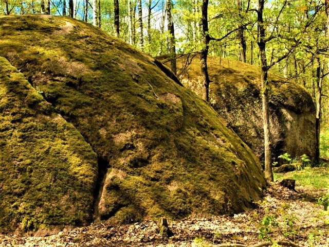
Stone Village
Natural object
The State Geological Reserve "Stone Village" ("Kamyane Selo") is located on the territory of the Polisky Reserve, in the Zamyslovytskyi Forestry, 30 kilometers northeast of Olevsk.
Large boulders scattered in the forest between pines and oaks form "streets" on which there are "houses", "church" and "school". One of the stones has three indentations resembling human footprints - "footprints of God".
The boulders were probably brought by a glacier, after which they were weathered. There are several folk legends about the origin of the "Stone Village". One of them tells about how greedy residents of a forest settlement refused shelter to travelers, for which they were punished - their houses were petrified.
The geological reserve of state importance "Stone Village" is called the "Pollisya Stonehenge".
Reviews Rudnia-Zamyslovytska
Geographical information about Rudnia-Zamyslovytska
| {{itemKey}} | {{itemValue}} |
|---|---|
| Region |
Zhytomyr |
