Functional temporarily unavailable
General information about Slovechne
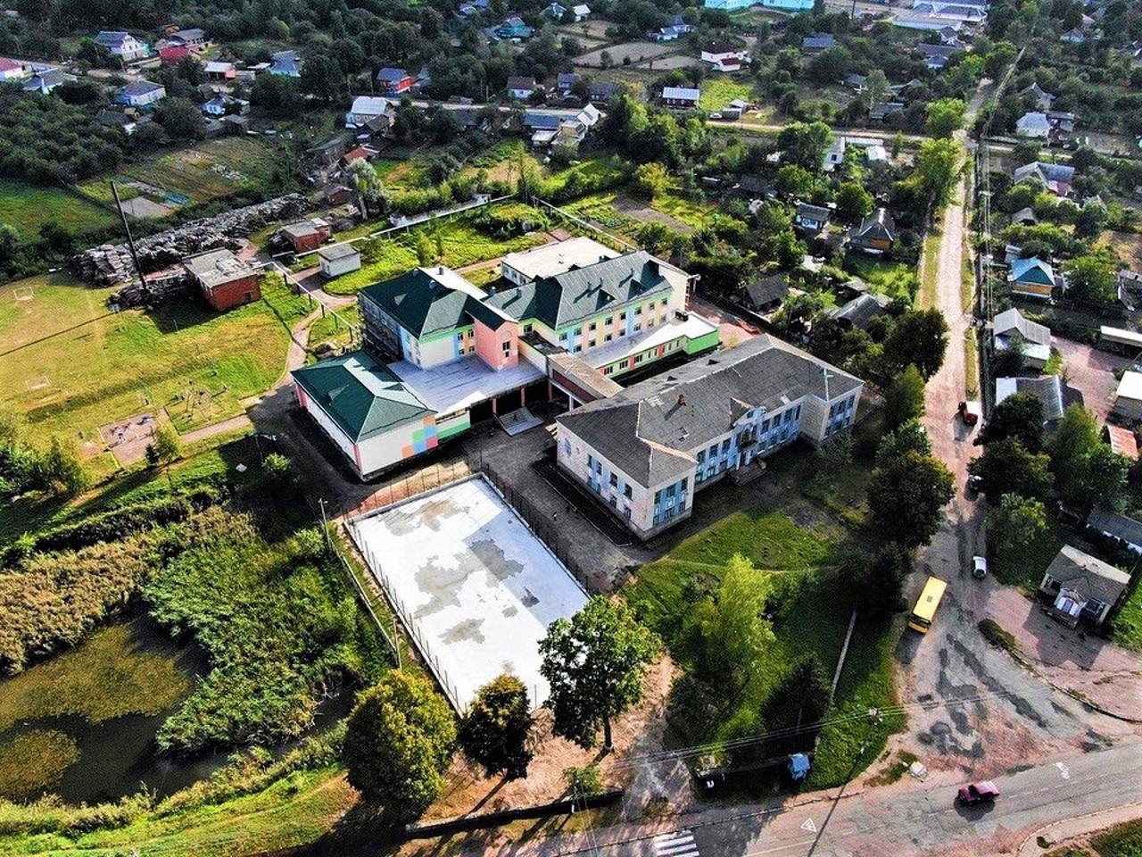
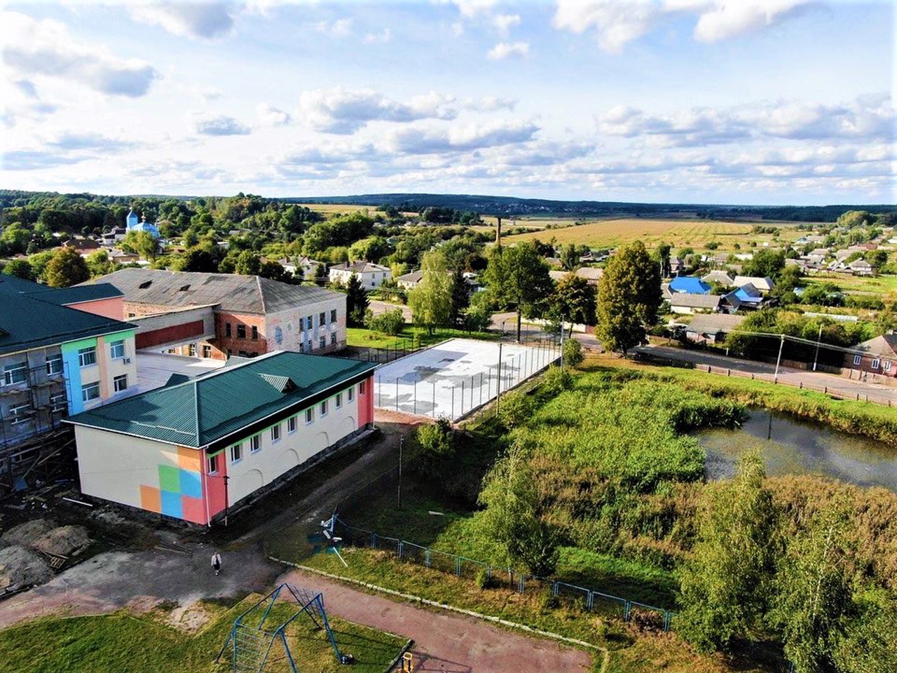
The village of Slovechne is located in a wooded area on the territory of the Slovechne-Ovruch range, 30 kilometers west of Ovruch.
It was mentioned for the first time in 1566 in the description of the Kyiv Voivodeship as a village of the Ovruch Starostvo, assigned to the Ovruch Castle. After the Union of Lublin (1569), Slovechne became the property of the Polish magnates Potocki. During the Liberation War of 1648-1654, it was part of the Ovruch hundred of the Kyiv regiment, then it returned to the Potocki family. In 1773, Slovechne received the status of a small town, in 1797 it became part of the Ovruch District of the Volyn Province. In the 19th century it belonged to the landowner Chudovsky.
During t ...
The village of Slovechne is located in a wooded area on the territory of the Slovechne-Ovruch range, 30 kilometers west of Ovruch.
It was mentioned for the first time in 1566 in the description of the Kyiv Voivodeship as a village of the Ovruch Starostvo, assigned to the Ovruch Castle. After the Union of Lublin (1569), Slovechne became the property of the Polish magnates Potocki. During the Liberation War of 1648-1654, it was part of the Ovruch hundred of the Kyiv regiment, then it returned to the Potocki family. In 1773, Slovechne received the status of a small town, in 1797 it became part of the Ovruch District of the Volyn Province. In the 19th century it belonged to the landowner Chudovsky.
During the Second World War, Slovechne was the center of partisan struggle against the German occupiers, the district became a partisan region. The Museum of Partisan Glory of Polissya has been opened in the village.
Село Словечне розташоване в лісистій місцевості на території Словечансько-Овруцького кряжа в 30 кілометрах на захід від Овруча.
Вперше згадується в 1566 році в описі Київського воєводства як село Овруцького староства, приписане до Овруцькому замку. Після Люблінської унії (1569 рік) Словечне перейшло у власність польських магнатів Потоцьких. Під час Визвольної війни 1648-1654 років входило до складу Овруцької сотні Київського полку, потім повернулося у власність Потоцьких. В 1773 році Словечне отримало статус містечка, в 1797 році увійшло до складу Овруцького повіту Волинської губернії. В XIX столітті належало поміщику Чудовському.
Під час Другої світової війни Словечне було центром партизанської боротьб ...
Село Словечне розташоване в лісистій місцевості на території Словечансько-Овруцького кряжа в 30 кілометрах на захід від Овруча.
Вперше згадується в 1566 році в описі Київського воєводства як село Овруцького староства, приписане до Овруцькому замку. Після Люблінської унії (1569 рік) Словечне перейшло у власність польських магнатів Потоцьких. Під час Визвольної війни 1648-1654 років входило до складу Овруцької сотні Київського полку, потім повернулося у власність Потоцьких. В 1773 році Словечне отримало статус містечка, в 1797 році увійшло до складу Овруцького повіту Волинської губернії. В XIX столітті належало поміщику Чудовському.
Під час Другої світової війни Словечне було центром партизанської боротьби з німецькими окупантами, район став партизанським краєм. В селі відкрито Музей партизанської слави Полісся.
Сплануй своє перебування у Slovechne
What to see and where to go in Slovechne
Tourist attractions and museums of Slovechne
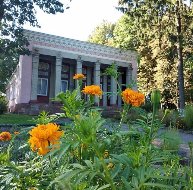
Partisan Glory of Polissya Museum
Museum / gallery
The Museum of Partisan Glory of Polissya was founded in 1961 in the village of Slovechne, which during the Second World War was the center of the partisan movement and the location of large partisan units.
The Slovechne Museum was created by enthusiasts by the "folk" method, and in 1962 the exhibition was opened to visitors. One of the halls is decorated in the form of a guerrilla dugout.
Guerrilla weapons, radio equipment, guerrilla press, instruments of the medical service of the "forest front", materials about punitive expeditions in the Ovruch region are presented.
In 1995, the Burned Villages Memorial Complex was opened, where the tragic events of 1942-1943 were recorded.
Slovechansko-Ovrutsky Ridge
Natural object
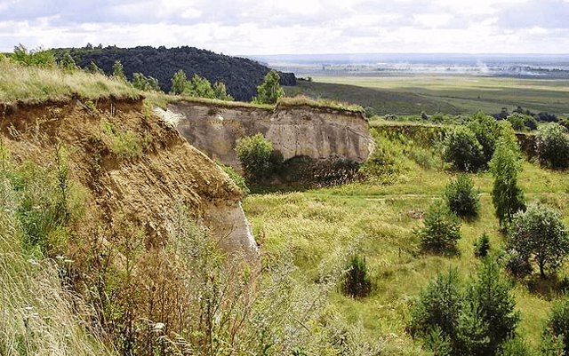
Slovechansko-Ovrutsky ridge - a height in the north of Zhytomyr region, a remnant of ancient mountain ridges.
The ridge stretches for almost 60 kilometers from west to east from the village of Chervonka to the town of Ovruch. The width of the ridge is from 5 to 14-20 kilometers. The highest point (316 meters) is located east of the village of Horodets. The southern slopes of the ridge are steep, the northern slopes are gentler. The surface is hilly, dissected by ravines up to 20-25 meters deep.
The stone (rare red and pink quartzites and sandstones) quarried here was used in the construction of Saint Sophia Cathedral, Kyiv-Pechersk Lavra, and the Golden Gate in Kyiv.
Many hillforts and barrows were investigated on the territory Slovechansko-Ovrutsky ridge. Among the vegetation, there are dark-barked birch, rock oak, evergreen ivy, Karelian birch, Pontic azalea, which is considered endemic. Similar species in Ukraine occur only in the Crimea.
A dirt road runs along the entire ridge, sometimes between very deep ravines. The ravines are incredibly picturesque, the road is mostly gravel.
Reviews Slovechne
Geographical information about Slovechne
| {{itemKey}} | {{itemValue}} |
|---|---|
| Region |
Zhytomyr |
