Functional temporarily unavailable
General information about Volovets
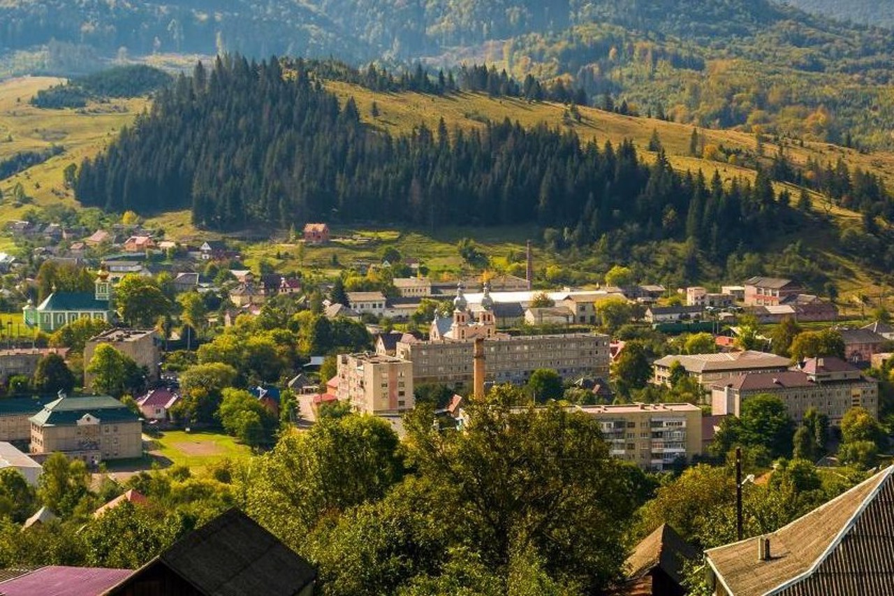
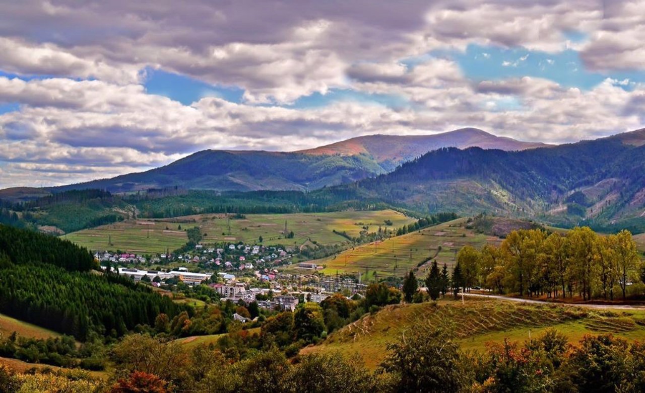
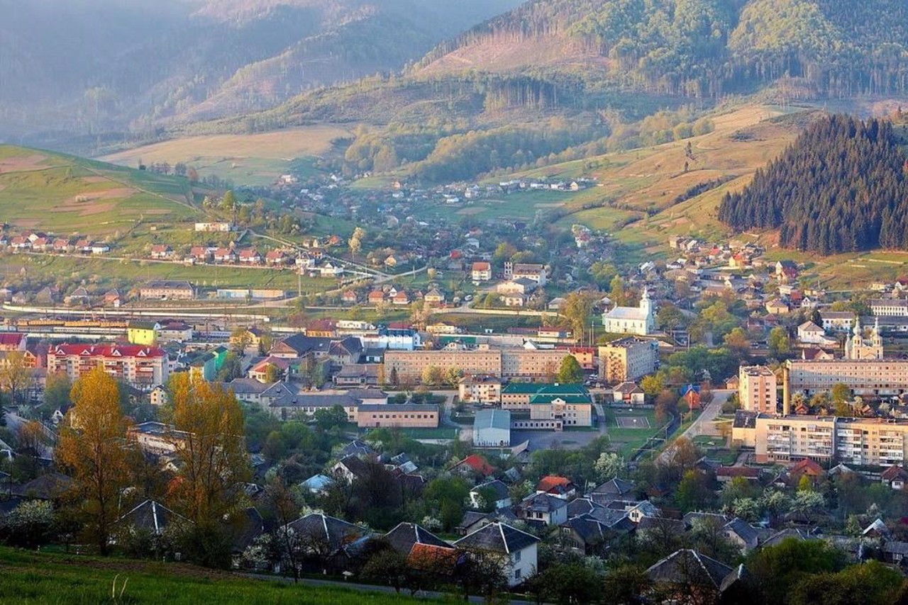
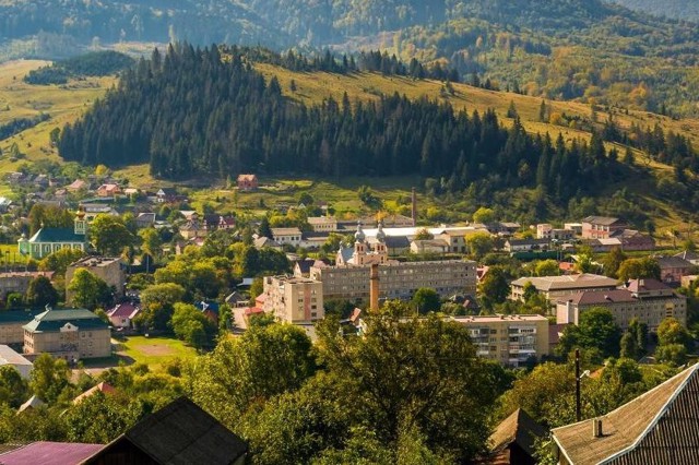
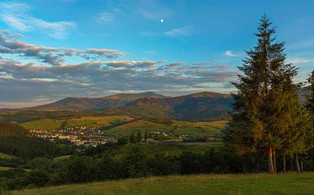
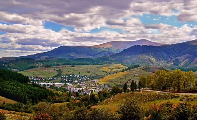
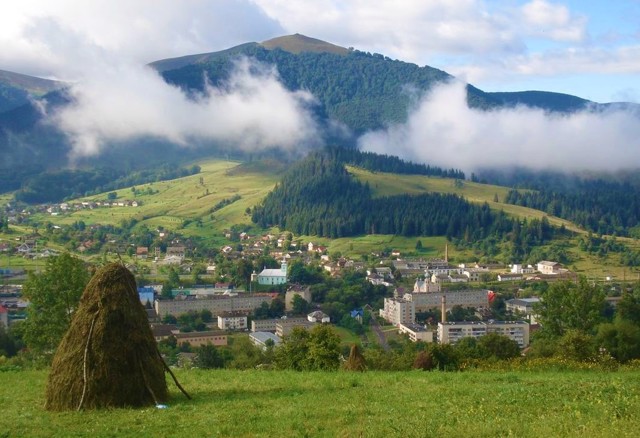
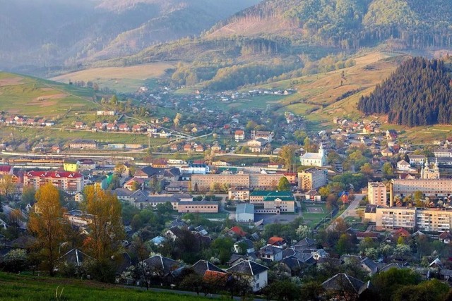
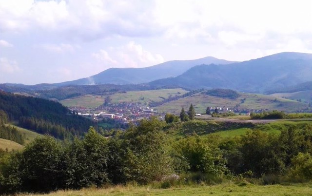
The high mountain town Volovets (500 meters above sea level) is located at the foot of the Temnatyk and Plai peaks, a ski resort. It was first mentioned in 1433 as a Slavic settlement owned by Baron Pereni.
The name comes from the Volovchik River, in which shepherds watered their oxen in ancient times. The village often became the scene of feudal wars. In the 17th and 18th centuries, it belonged to the Rakotsi family, whose representatives led the liberation war of the Hungarian people.
Currently, the tourist infrastructure is developing, there is one ski lift (300 meters).
Високогірне селище Воловець (500 метрів над рівнем моря) розташоване біля підніжжя вершин Темнатик та Плай, гірськолижний курорт. Вперше згадується в 1433 році як слов'янське поселення у володінні барона Перені.
Назва походить від річки Воловчик, в якій в давнину чабани напували волів. Село часто ставало ареною феодальних воєн. У XVII-XVIII столітях належало роду Ракоці, представники якого очолювали визвольну війну угорського народу.
В даний час розвивається туристична інфраструктура, є один бугельний витяг (300 метрів).
Сплануй своє перебування у Volovets
What to see and where to go in Volovets
Reviews Volovets
Geographical information about Volovets
| {{itemKey}} | {{itemValue}} |
|---|---|
| Region |
Zakarpattia |
