Functional temporarily unavailable
General information about Huta
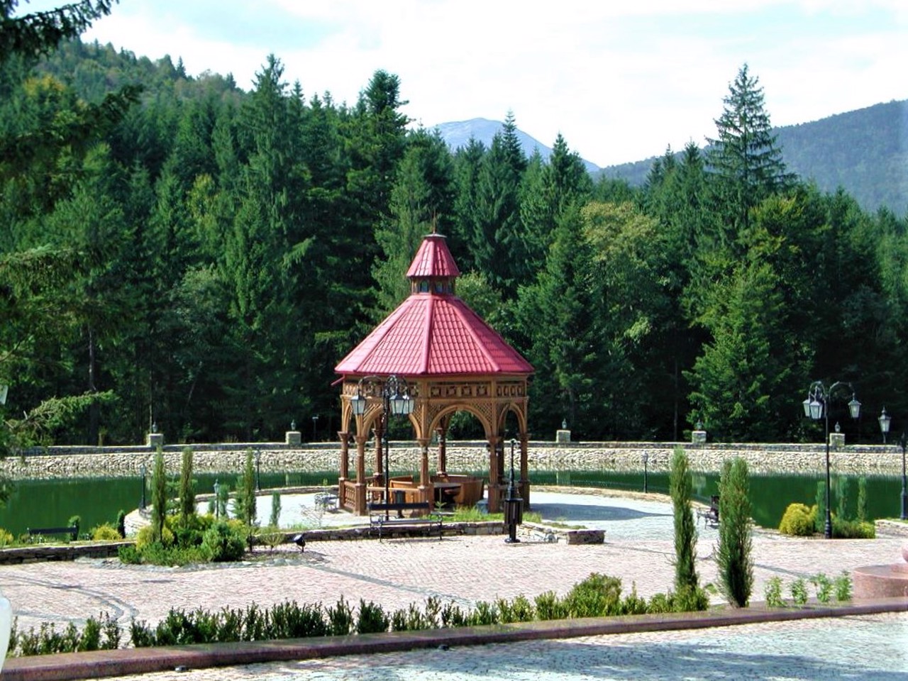
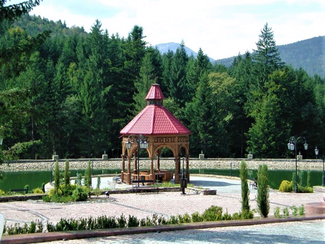
The picturesque mountain village of Huta is located on the banks of the Bystrytsia Solotvynska river, northwest of Bohorodchany.
Once Huta was a settlement of the neighboring village of Porogy, it became administratively independent in the 1930s.
From here, hiking routes to poloniny, passes, Horgan ridges and peaks of Sivuli and Lopushna begin.
Мальовниче гірське село Гута розташоване на березі річки Бистриці Солотвинської на північний захід від Богородчан.
Колись Гута була присілком сусіднього села Пороги, стало адміністративно самостійним в 1930-х роках.
Звідси починаються пішохідні маршрути на полонини, перевали, горганські хребти та вершини Сивулю та Лопушну.
Сплануй своє перебування у Huta
What to see and where to go in Huta

Reviews Huta
Geographical information about Huta
| {{itemKey}} | {{itemValue}} |
|---|---|
| Region |
Ivano-Frankivsk |