Functional temporarily unavailable
General information about Matkiv
The village of Matkiv is located in the mountains next to the M-06 highway between Skole and Svaliava. It is located in the middle of the Beskydy mountain range, in the valley of the Stryi River, on the territory of the ethnic Boykivshchyna.
Known since 1538.
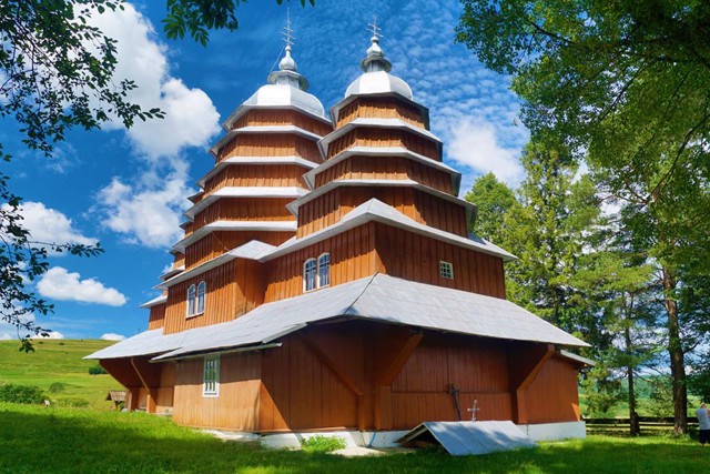
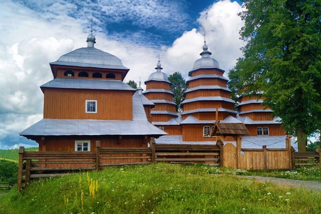
The preserved wooden church of the Cathedral of the Most Holy Theotokos (1838) belongs to the Boyki school of folk architecture and is characterized by an unusual multi-tiered structure.
Село Матків розташоване в горах поруч з трасою М-06 між Сколе і Свалявою. Знаходиться в середині гірської гряди Бескидів, в долині річки Стрий, на території етнічної Бойківщини.
Відоме з 1538 року.
Збереглася дерев'яна церква Собору Пресвятої Богородиці (1838 рік), що відноситься до бойківської школи народної архітектури та відрізняється незвичайною багатоярусністю.
Сплануй своє перебування у Matkiv
What to see and where to go in Matkiv
Tourist attractions and museums of Matkiv
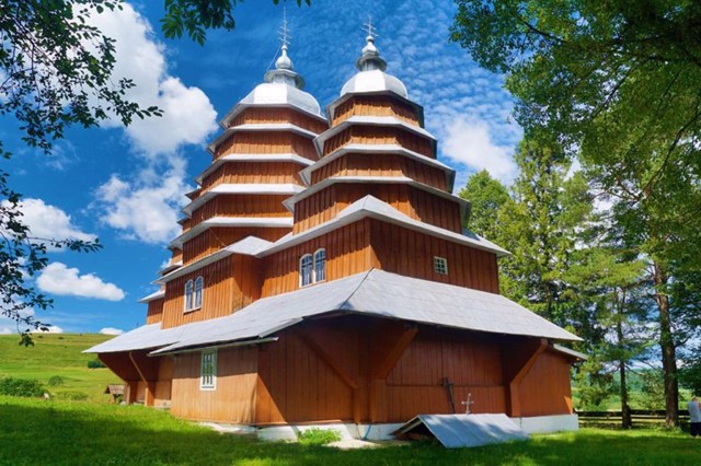
Holy Virgin Cathedral Church
Temple , Architecture , UNESCO world heritage site
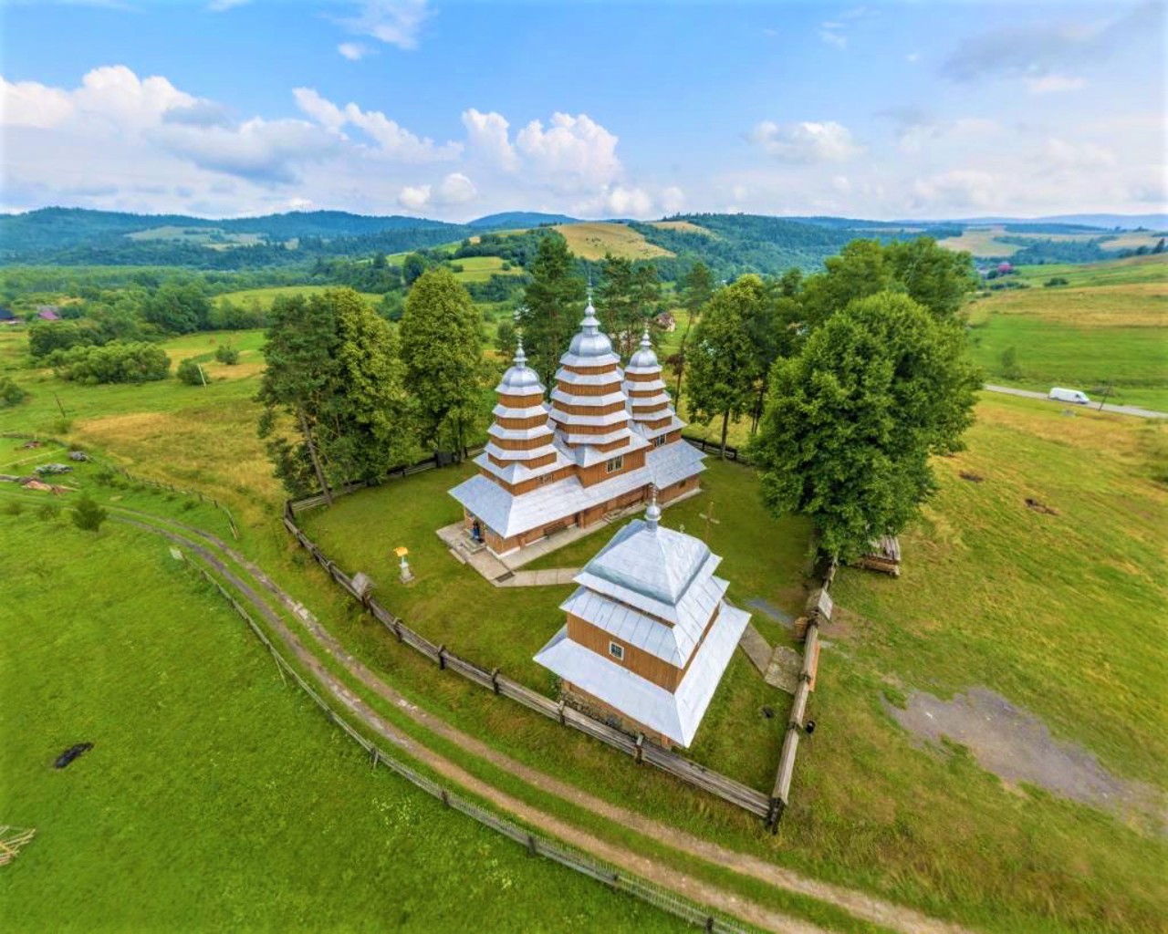
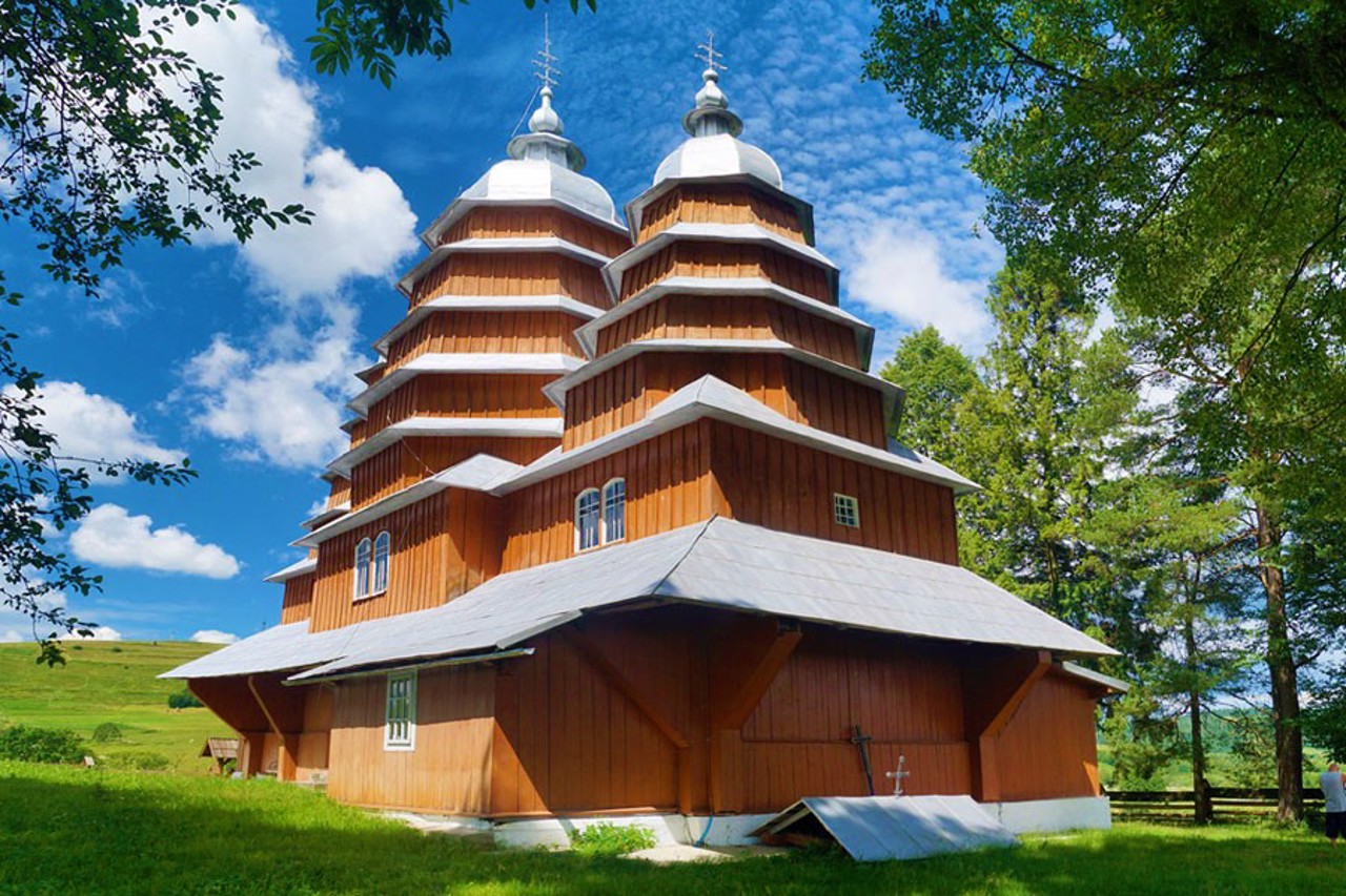
The wooden church of the Cathedral of the Holy Virgin in Matkiv is located on a low hill in the center of the village and occupies a dominant place in the panorama of the mountain village.
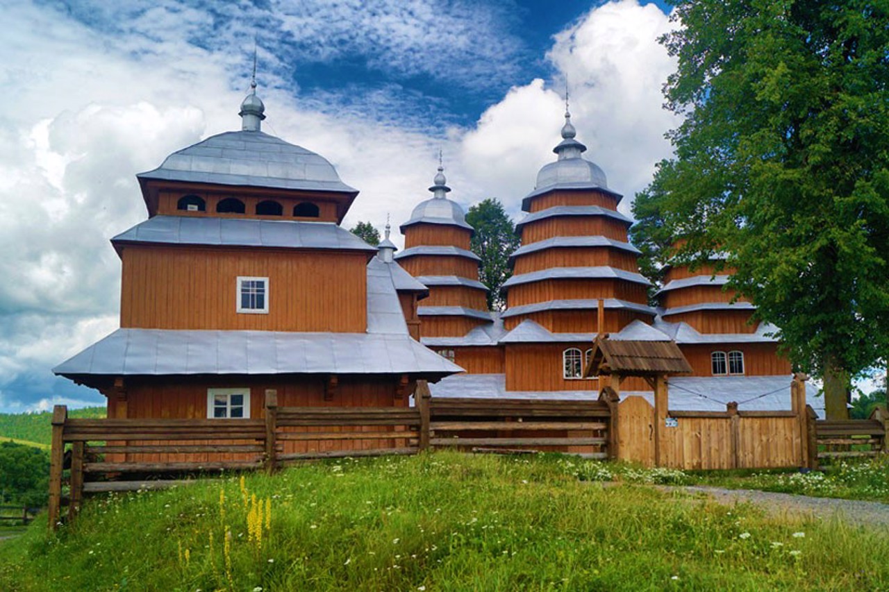
The church was built by Boyko masters Ivan Melnykovych and Vasyl Ivanykovych, and is characterized by an unusual multi-tiered structure. In plan, the temple consists of three square log cabins: a larger central one and smaller side ones. All log cabins are covered with helmet-shaped partitions with intercepts on pyramidal figures of eight with folds (the central head has five folds, the lateral ones have four folds each).
The Holy Virgin Cathedral Church in Matkiv is included in the UNESCO World Heritage List in the category "Wooden Churches of the Carpathian Region of Ukraine".
Nearby is a wooden belfry built in 1924 with a balcony on the second floor.
Both buildings are considered masterpieces of the Boyko school of folk architecture.
Matkiv on photo and video
Reviews Matkiv
Geographical information about Matkiv
| {{itemKey}} | {{itemValue}} |
|---|---|
| Region |
Lviv |
