Functional temporarily unavailable
General information about Poliana
The village of Poliana is located 15 kilometers north of Mykolaiv, 5 kilometers from the international highway M-06 "Kyiv - Chop".
According to legend, it was founded in the 16th century by the inhabitants of the village of Hrimne, who were escaping from a Tatar raid. Poliana was first mentioned in documents in 1530.
The church of John Chrysostom, built in 1770, has been preserved.
In the 19th century, the village belonged to Count Losy, then Count Tusevich. The last owner was Evelina Stanovska.
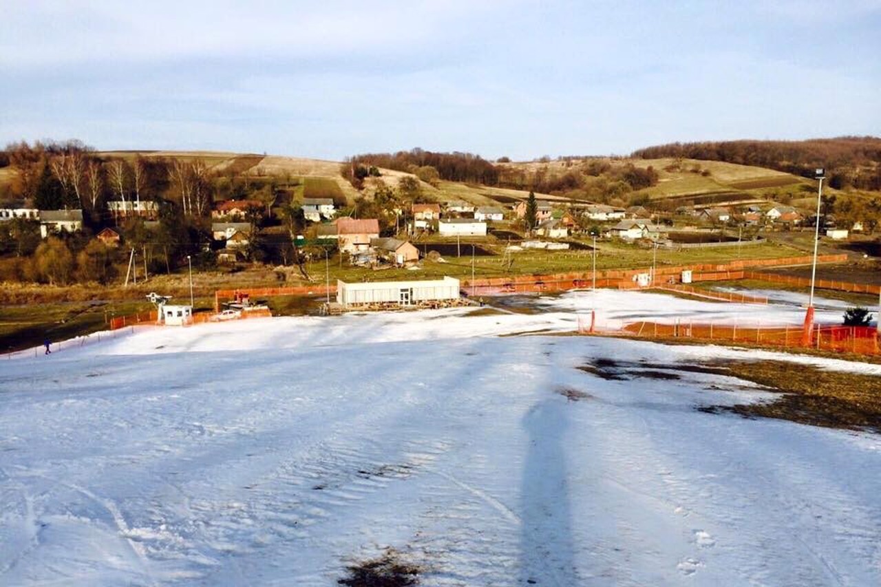
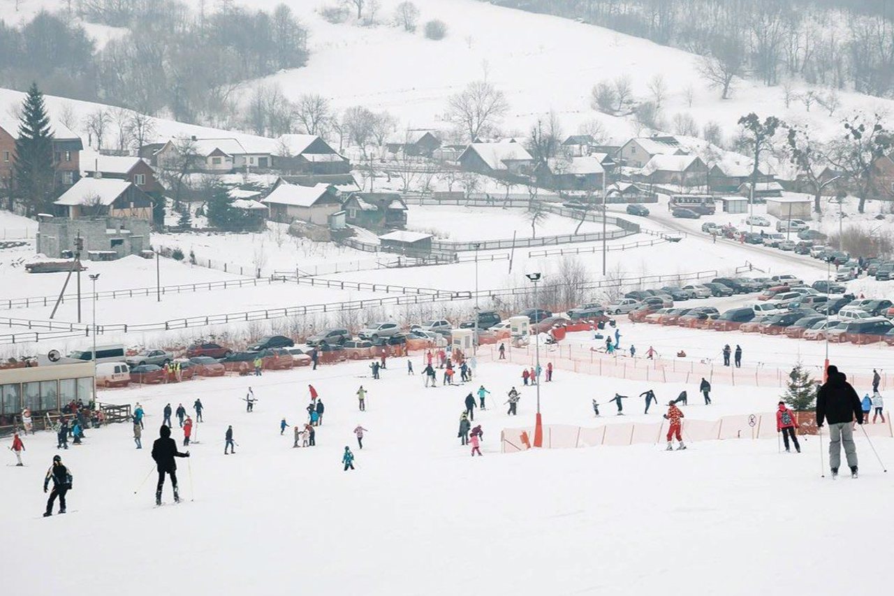
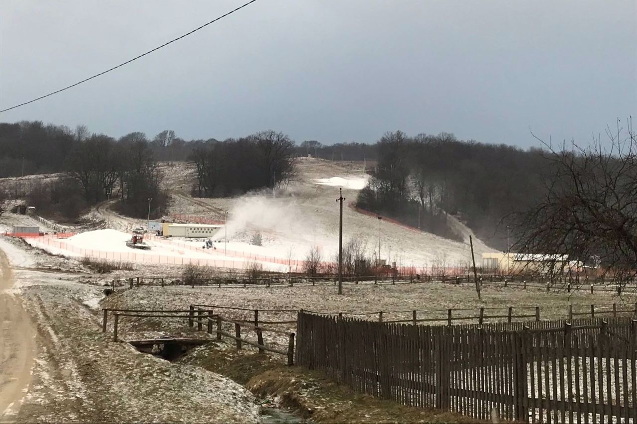
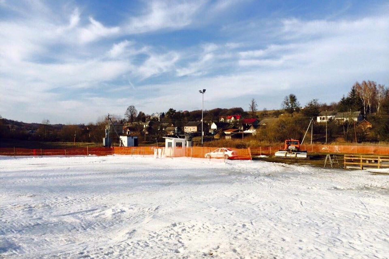
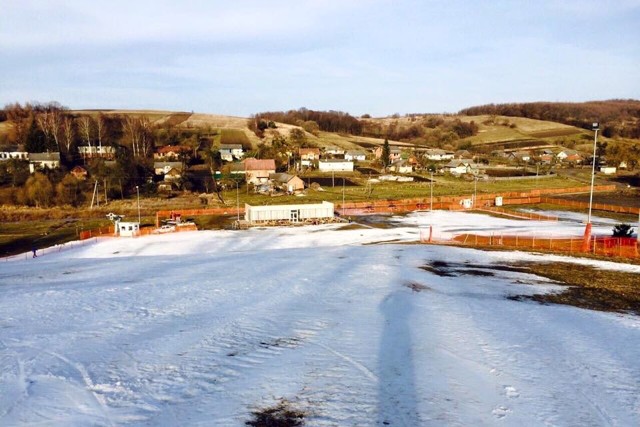
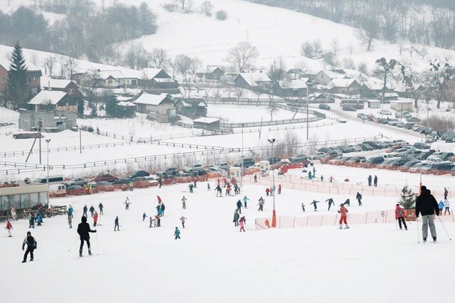
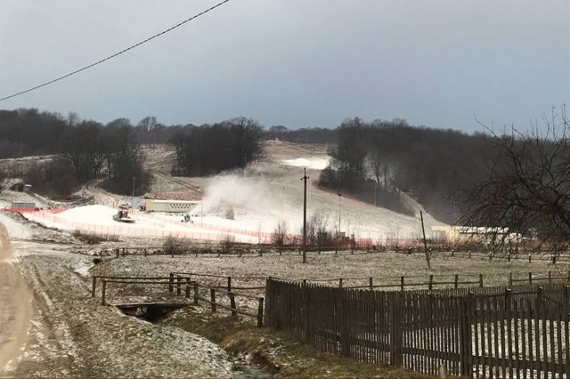
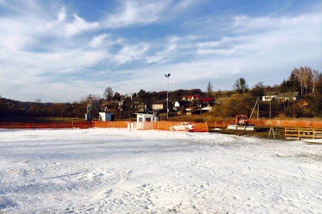
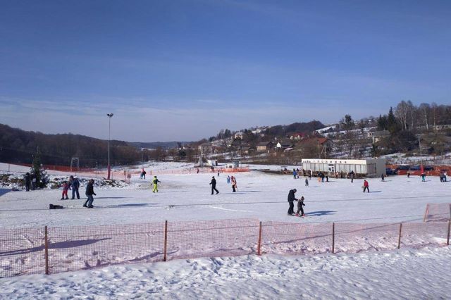
Currently, there is a skiing complex "Fairy Meadow" in Poliana.
Село Поляна розташоване в 15 кілометрах на північ від Миколаєва, в 5 кілометрах від міжнародної траси М-06 "Київ - Чоп".
За легендою, засноване в XVI сторіччі жителями села Грімне, які рятувалися від татарського набігу. Вперше в документах Поляна згадується в 1530 році.
Збереглася церква Іоанна Златоуста, побудована в 1770 році.
В XIX столітті село належало графам Лосям, потім графу Тусевичу. Останньою власницею була Евеліна Становська.
Зараз в Поляні діє гірськолижний комплекс "Казкова поляна".
Сплануй своє перебування у Poliana
What to see and where to go in Poliana
Tourist attractions and museums of Poliana
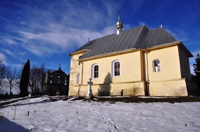
Saint John Chrysostom Church
Temple , Architecture
The Church of Saint John the Chrysostom was built in Poliana in 1770.
It is located on the territory of an ancient cemetery, where you can find very old tombstones.
In the 19th century, a parish school operated near the church, until a new school was built in the center of the village in 1890.
During Soviet times, the church of Saint John the Chrysostom was closed. Since 1991, it has been returned to the community of the Ukrainian Greek Catholic Church.
Reviews Poliana
Geographical information about Poliana
| {{itemKey}} | {{itemValue}} |
|---|---|
| Region |
Lviv |
