Functional temporarily unavailable
General information about Sukhyi Lyman
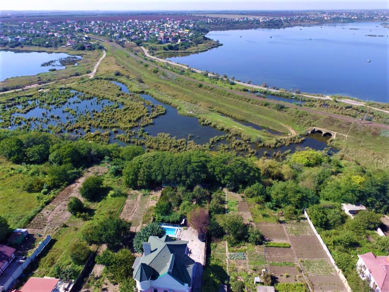
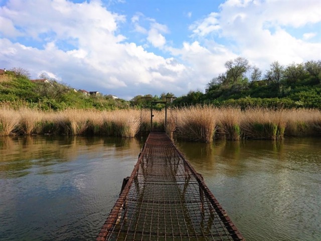
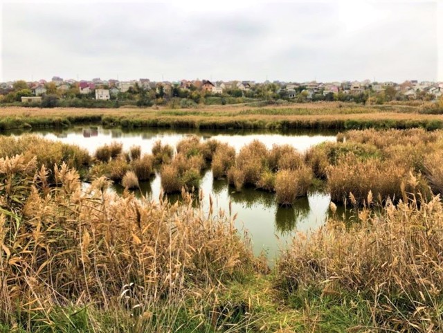
The village of Sukhyi Lyman is a southwestern suburb of Odesa. It is located on the shore of the estuary of the same name, connected by a channel to the Black Sea.
Sukhyi Lyman was founded as a small village at the beginning of the 19th century. Remains of Bronze Age settlements (II millennium BC) and Scythian times (IV-III centuries BC) were discovered near the village.
During the Second World War, the line of defense of Odesa passed through the territory of the village. In memory of this, the so-called "Belt of Glory" was laid: a wide forest strip 60 kilometers long, which curved in a semicircle from the village of Dofinivka to Sukhyi Lyman.
Село Сухий Лиман - південно-західне передмістя Одеси. Розташоване на березі однойменного лиману, з'єднаного каналом з Чорним морем.
Сухий Лиман виник як невеличкий хутір на початку XIX століття. Поблизу села виявлено залишки поселень бронзової доби (II тисячоліття до наої ери) та скіфських часів (IV-III сторіччя до нашої ери).
Під час Другої світової війни по території села проходив рубіж оборони Одеси. На згадку про це закладений так званий "Пояс слави": широка лісова смуга довжиною в 60 кілометрів, яка вигнулась півколом від села Дофінівка до Сухого Лиману.
Сплануй своє перебування у Sukhyi Lyman
What to see and where to go in Sukhyi Lyman
Sukhyi Lyman on photo and video
Reviews Sukhyi Lyman
Geographical information about Sukhyi Lyman
| {{itemKey}} | {{itemValue}} |
|---|---|
| Region |
Odesa |
