Functional temporarily unavailable
Information on this page is translated from Ukrainian language automatically by machine translation and may not always accurately express the original. We nevertheless hope it will be of use to you and make it easier for you to plan your trip.
General information about Pavlivka
The village of Pavlivka on the Kuchurhan River is located on the Ukrainian-Moldovan (Transnistrian) border 15 kilometers south of Rozdilna, next to the M-16 (E-58) international highway.
Founded in 1896.
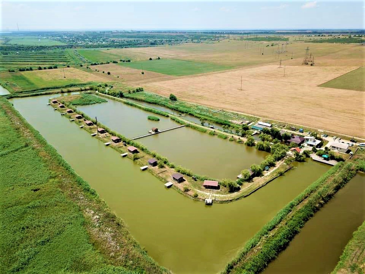
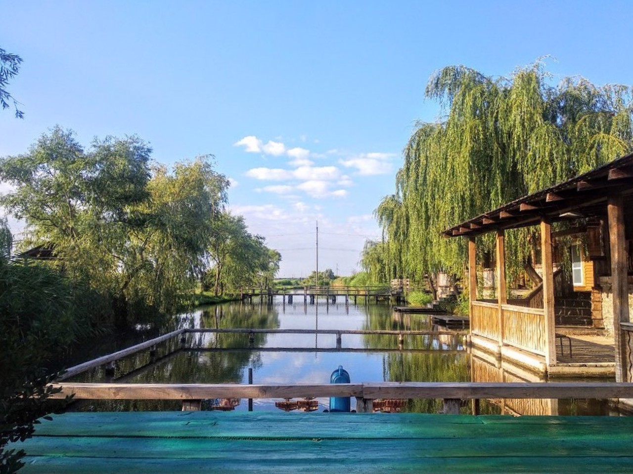
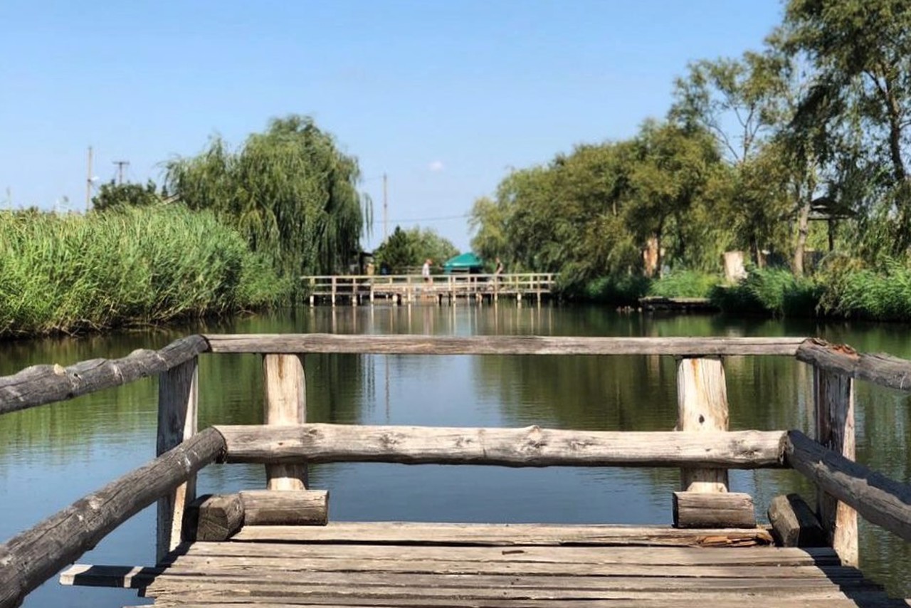
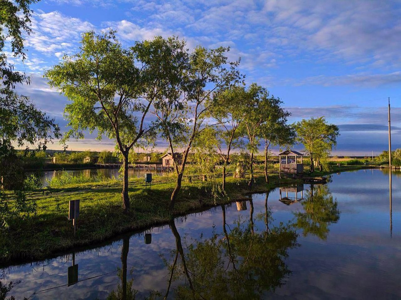
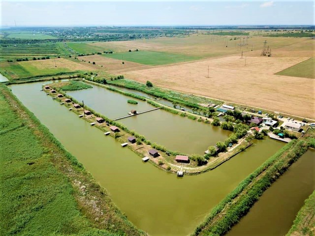
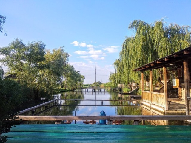
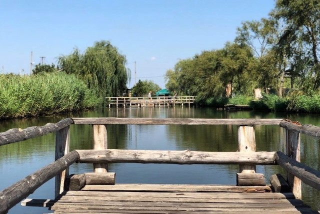
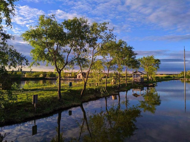
The recreation area "Dashky Ponds" is located here.
Село Павлівка на річці Кучурган розташоване на українсько-молдовському (придністровському) кордоні в 15 кілометрах на південь від Роздільної, поруч з міжнародною трассою М-16 (Е-58).
Засноване в 1896 році.
Тут розташована зона відпочинку "Дашкіни ставки".
Сплануй своє перебування у Pavlivka
What to see and where to go in Pavlivka
Reviews Pavlivka
Geographical information about Pavlivka
| {{itemKey}} | {{itemValue}} |
|---|---|
| Region |
Odesa |
