Functional temporarily unavailable
Velykyi Khutir
Travel guide online Velykyi Khutir
General information about Velykyi Khutir
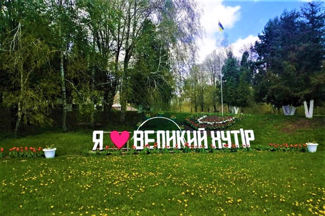
The village of Velikiy Khutir on the Zolotonoshka River is located 10 kilometers south of Drabiv on the road to Zolotonosha.
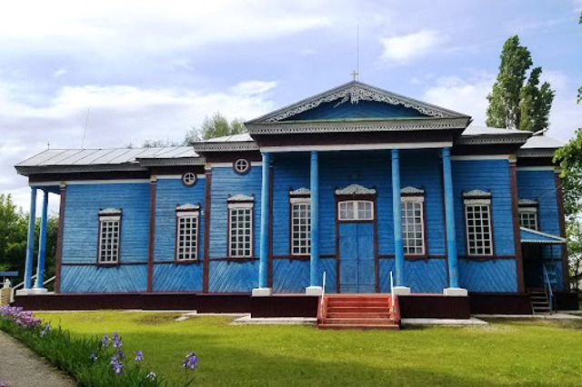
It originated in the 17th century and was first mentioned in 1622 as a Cossack settlement. In 1691, these lands became the property of the Pereyaslav colonel Ivan Myrovych, then the Kantakuzen princes. In 1777-1843, the village belonged to the Zavadovsky count family. At that time, the wooden church of Saints Peter and Paul was founded (the present church was built in 1892).
For some time Velykyi Khutir had the status of a town and a parish center of Zolotonsha district.
Село Великий Хутір на річці Золотоношці розташоване в 10 кілометрах на південь від Драбова по дорозі на Золотоношу.
Виникло в XVII сторіччі, вперше згадується в 1622 році як козацьке поселення. В 1691 році ці землі перейшли у власність переяславського полковника Івана Мировича, потім князів Кантакузенів. В 1777-1843 роках село належало графському роду Завадовських. В цей час була заснована дерев'яна церква Святих Петра і Павла (нинішній храм побудований в 1892 році).
Деякий час Великий Хутір мав статус містечка і волосного центру Золотоніського повіту.
Сплануй своє перебування у Velykyi Khutir
What to see and where to go in Velykyi Khutir
Tourist attractions and museums of Velykyi Khutir

Holy Apostles Peter and Paul Church
Temple , Architecture
The wooden church of the holy apostles Peter and Paul was built in Velykyi Khutir in 1892 on the site of the old church founded at the end of the 18th century by Count Petro Zavadovsky.
Cross-shaped in plan, the temple is made in the style of classicism.
In 1931, the Bolsheviks closed the Peter and Paul Church, removed the domes from it and turned the building into a collective farm storeroom. But in 1942, during the German occupation, the service was resumed. Since then, the temple has not been closed, but the domes have not been restored.
On April 22, 2023, by the decision of the assembly of parishioners, the Peter and Paul Church in Velykyi Khutir became Ukrainian - the registered charter of the religious community of the parish of the Holy Apostles Peter and Paul of the Orthodox Church of Ukraine.
Velykyi Khutir on photo and video
Reviews Velykyi Khutir
Geographical information about Velykyi Khutir
| {{itemKey}} | {{itemValue}} |
|---|---|
| Region |
Cherkasy |


