Functional temporarily unavailable
General information about Hryhorivka
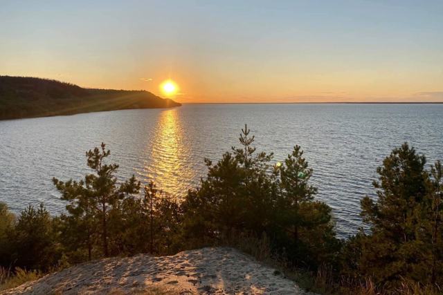
The village of Hryhorivka is located on the right bank of the Kaniv Reservoir, on the territory of the State Historical and Cultural Reserve "Trahtemyriv". Administratively, it is part of the Bobrytsia hromada of Cherkasy district.
The remains of Trypillian, Scythian and early Slavic settlements have been found on the territory of the village. The official date of foundation is considered to be 1552, when Hryhorivka is first mentioned in the description of the Kaniv Castle, but researchers have established that the history of the village actually dates back to the 15th century.
A typical pillar-type windmill has been preserved in the village of Hryhorivka. It stands out among the rest with its p ...
The village of Hryhorivka is located on the right bank of the Kaniv Reservoir, on the territory of the State Historical and Cultural Reserve "Trahtemyriv". Administratively, it is part of the Bobrytsia hromada of Cherkasy district.
The remains of Trypillian, Scythian and early Slavic settlements have been found on the territory of the village. The official date of foundation is considered to be 1552, when Hryhorivka is first mentioned in the description of the Kaniv Castle, but researchers have established that the history of the village actually dates back to the 15th century.
A typical pillar-type windmill has been preserved in the village of Hryhorivka. It stands out among the rest with its power line and mechanical equipment converted to an electric drive.
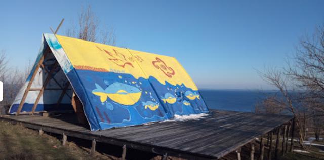
The modern wooden church is built in the Cossack style. The village also houses the green tourism estate "Kurin Kozaka z Luhu" (Cossack hut of centurion Oleksandr Kravchenko), which offers accommodation, catering, and various events.
Село Григорівка розташоване на правому березі Канівського водосховища, на території Державного історико-культурного заповідника "Трахтемирів". Адміністративно входить до складу Бобрицької громади Черкаського району.
Село пронизане системою глибоких ярів. На території села знайдені залишки трипільських, скіфських та ранньослов'янських поселень. Офіційною датою заснування вважається 1552 рік, коли Григорівка вперше згадується в описі Канівського замку, але дослідники встановили, що історія села насправді сягає XV століття.
У селі Григорівка зберігся типовий вітряний млин стовпового типу. Він вирізняється серед решти підведеною лінією електромережі та переобладнаною механікою під електрични ...
Село Григорівка розташоване на правому березі Канівського водосховища, на території Державного історико-культурного заповідника "Трахтемирів". Адміністративно входить до складу Бобрицької громади Черкаського району.
Село пронизане системою глибоких ярів. На території села знайдені залишки трипільських, скіфських та ранньослов'янських поселень. Офіційною датою заснування вважається 1552 рік, коли Григорівка вперше згадується в описі Канівського замку, але дослідники встановили, що історія села насправді сягає XV століття.
У селі Григорівка зберігся типовий вітряний млин стовпового типу. Він вирізняється серед решти підведеною лінією електромережі та переобладнаною механікою під електричний привод.
Сучасна дерев'яна церква збудована в козацькому стилі. Також у селі розміщується садиба зеленого туризму "Курінь козака з лугу", що пропонує послуги розміщення, харчування, проведення різноманітних заходів.
Сплануй своє перебування у Hryhorivka
What to see and where to go in Hryhorivka
Hryhorivka in news and blogs
Reviews Hryhorivka
Geographical information about Hryhorivka
| {{itemKey}} | {{itemValue}} |
|---|---|
| Region |
Cherkasy |


