Functional temporarily unavailable
General information about Bilozirya
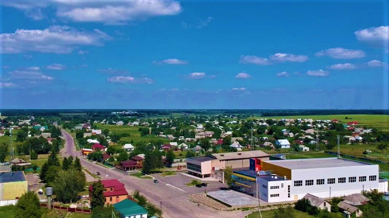
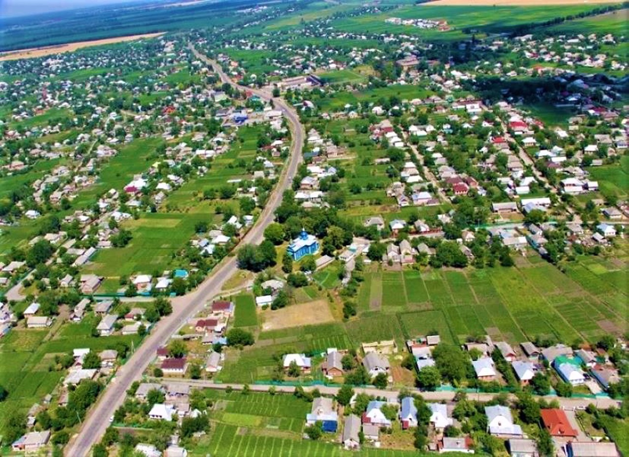
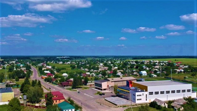
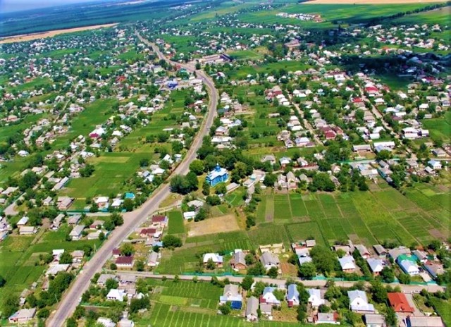
The ancient Cossack village of Bilozirya is located 15 kilometers from Cherkasy in the direction of Smila.
It was first mentioned in the 17th century on Guillaume de Beauplan's map. In ancient times, one of the navigable arms of the Dnipro ran here, where lakes later formed. One of them was called the White Lake (now drained) - it gave the village its name.
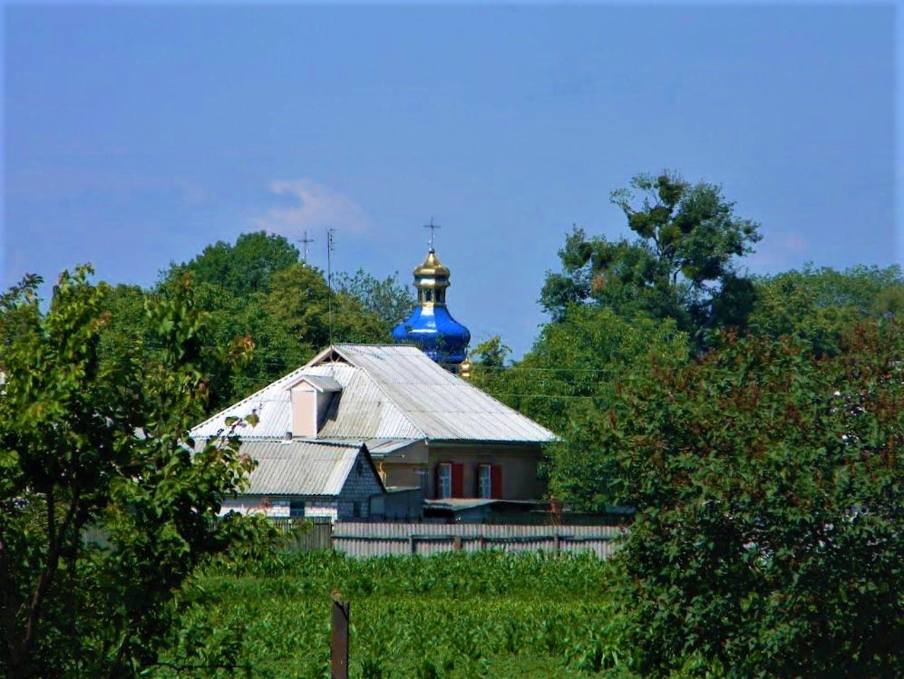
The wooden Transfiguration Church was built in 1710. A little later, the Church of the Virgin Mary was founded, but it has not survived to this day.
Старовинне козацьке село Білозір'я розташоване в 15 кілометрах від Черкас в бік Сміли.
Вперше згадується в XVII сторіччі на карті Гійома де Боплана. В давнину тут пролягав один з судноплавних рукавів Дніпра, на місці якого пізніше утворилися озера. Одне з них назвали Білим озером (зараз осушене) - воно і дало назву селу.
Дерев'яна Преображенська церква побудована в 1710 році. Трохи пізніше було засновано Богородичну церкву, проте вона не збереглася донині.
Сплануй своє перебування у Bilozirya
What to see and where to go in Bilozirya
Tourist attractions and museums of Bilozirya
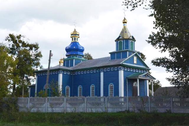
Transfiguration Church
Temple , Architecture
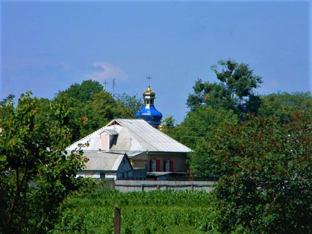
The wooden Transfiguration Church in Bilozirya was built in 1710. In 1867, the bell tower was rebuilt.
At the moment, the church yard is surrounded by a high concrete fence.
Reviews Bilozirya
Geographical information about Bilozirya
| {{itemKey}} | {{itemValue}} |
|---|---|
| Region |
Cherkasy |
