Functional temporarily unavailable
Mount Cat, Simeiz
Natural object
General information about Mount Cat (Simeiz)
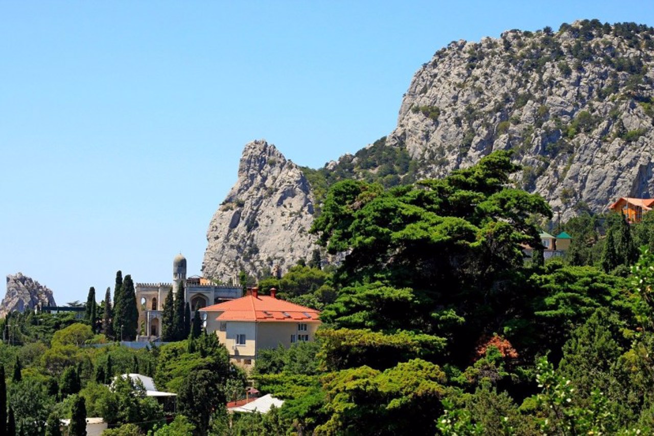
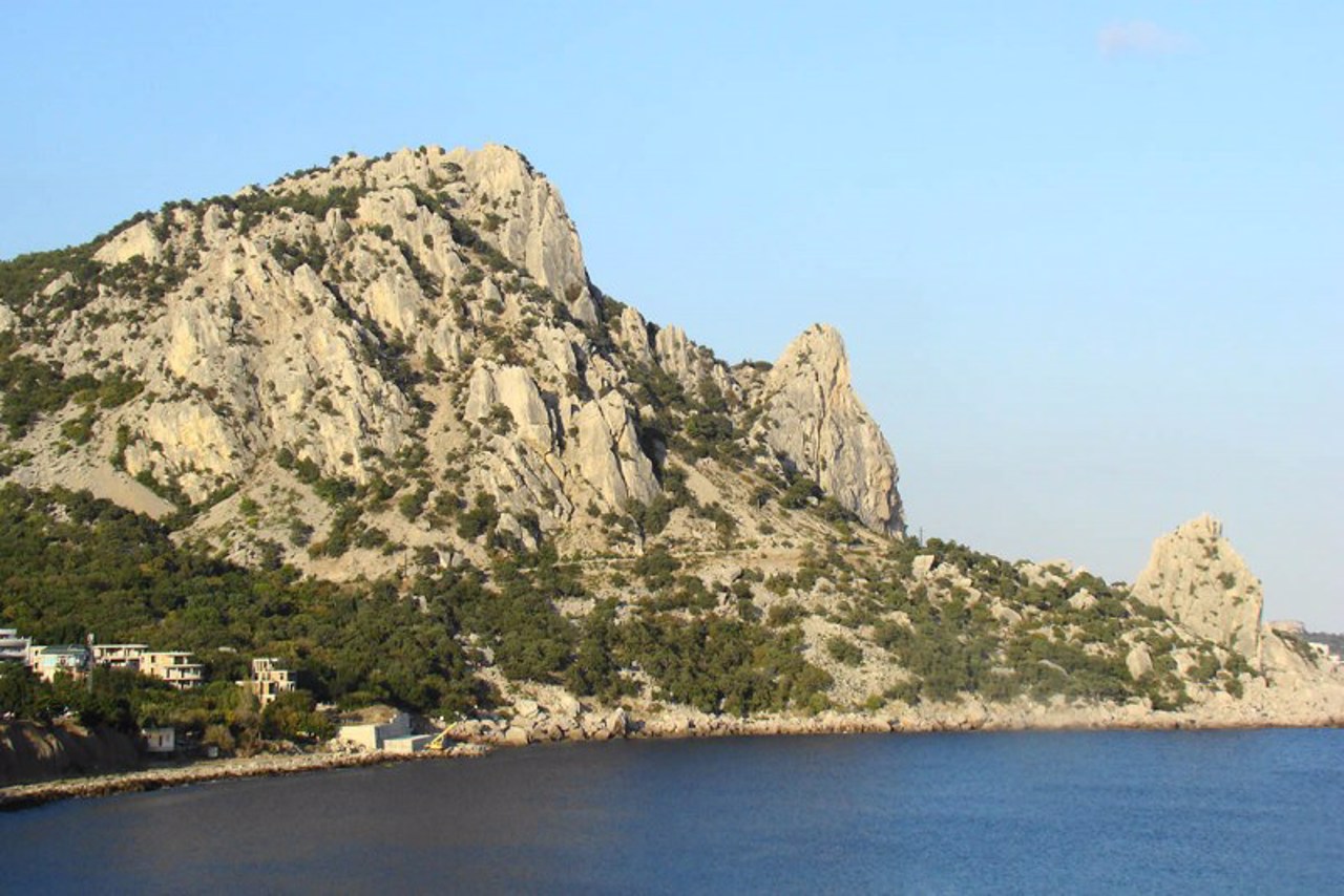
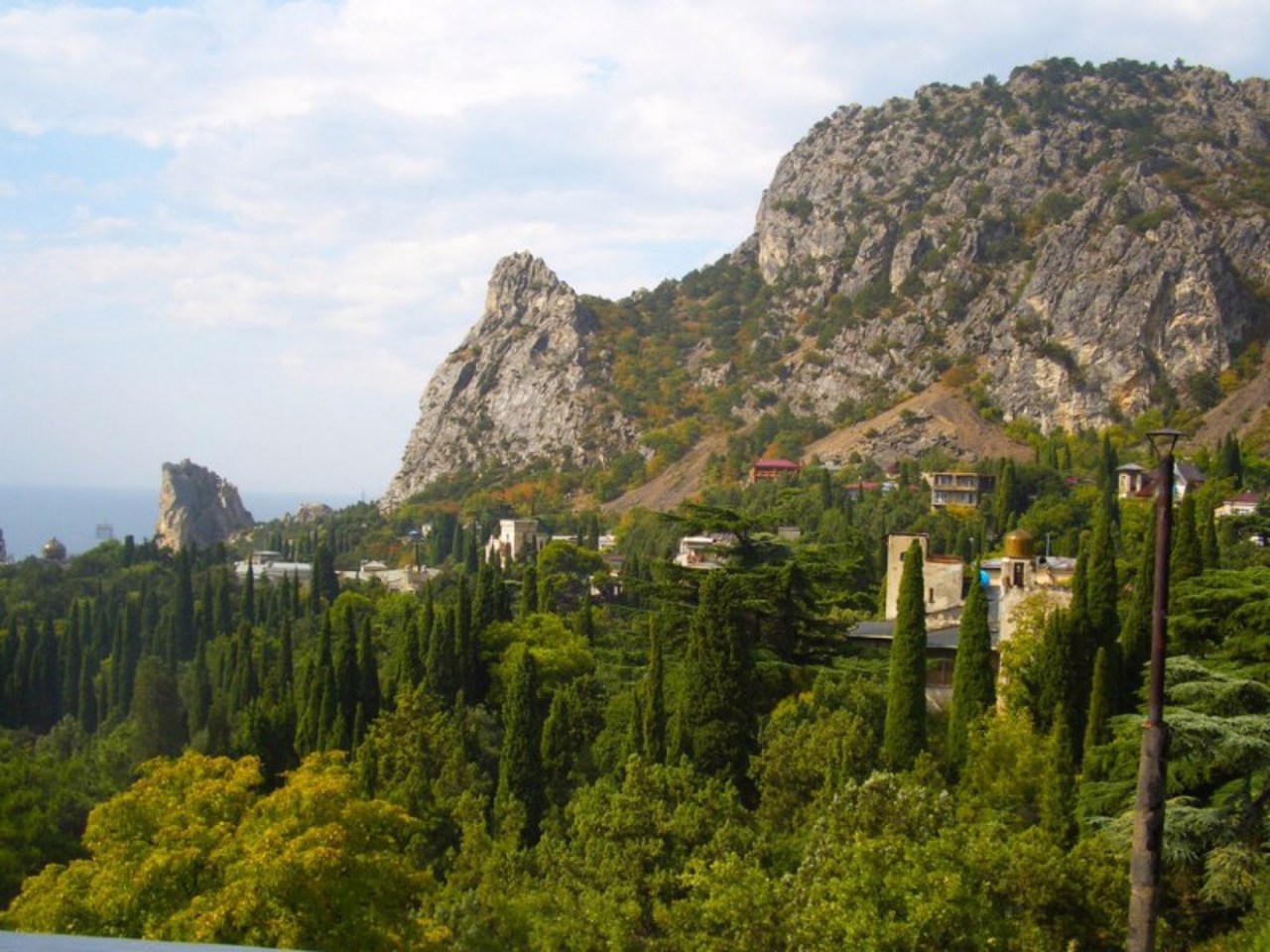
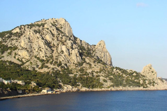
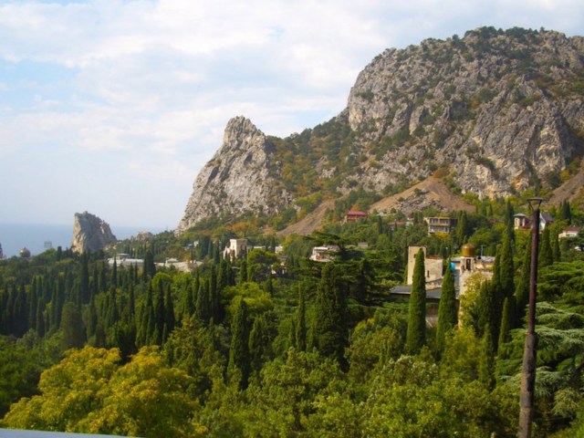
One of the most characteristic and picturesque landscape sights of Crimea is a mountain that resembles a silhouette of a cat ready to jump.
It is located between Simeiz and Katsiveli, on the territory of the Simeiz-Alupka amphitheater-like forest landscape. The name comes from the Tatar Kosh-kai - Falcon Mountain. This large limestone massif with a height of 254 meters was formed about a million years ago, breaking away from the Yalin ridge of the Main Crimean Ridge and gradually moving down the slope to the sea.
In ancient times, this natural barrier that separated the South Bank was supplemented in gaps by a stone wall. On th ...
One of the most characteristic and picturesque landscape sights of Crimea is a mountain that resembles a silhouette of a cat ready to jump.
It is located between Simeiz and Katsiveli, on the territory of the Simeiz-Alupka amphitheater-like forest landscape. The name comes from the Tatar Kosh-kai - Falcon Mountain. This large limestone massif with a height of 254 meters was formed about a million years ago, breaking away from the Yalin ridge of the Main Crimean Ridge and gradually moving down the slope to the sea.
In ancient times, this natural barrier that separated the South Bank was supplemented in gaps by a stone wall. On the plateau of Mount Cat, the remains of the Tavr settlement Limen-Isar (VIII-I centuries BC) with fragments of buildings and defensive walls, as well as a large necropolis consisting of a hundred dolmen tombs (so-called "Tavr boxes"), were discovered.
In the 1960s, the South Coast Highway was built through the ridge of Mount Cat, which changed the natural landscape. The accumulation of stones to the southwest of the mountain is closed by the picturesque Krylo Lebeda rock, which is popular with climbers.
Одна з найхарактерніших і наймальовничіших ландшафтних пам'яток Криму - гора, що нагадує силуетом кішку, що виготовилася до стрибка.
Знаходиться між Сімеїзом та Кацівелі, на території Сімеїз-Алупкінського амфітеатроподібного лісового ландшафту. Назва походить від татарського Кош-кая - Соколина гора. Цей великий вапняковий масив заввишки 254 метрів утворився близько мільйона років тому, відколовшись від яйлінського гребеня Головної Кримської гряди та поступово перемістившись схилом до моря.
В античні часи ця природна перешкода, що розділяла Південний берег, була доповнена у розривах кам'яною стіною. На плато гори Кішка вия ...
Одна з найхарактерніших і наймальовничіших ландшафтних пам'яток Криму - гора, що нагадує силуетом кішку, що виготовилася до стрибка.
Знаходиться між Сімеїзом та Кацівелі, на території Сімеїз-Алупкінського амфітеатроподібного лісового ландшафту. Назва походить від татарського Кош-кая - Соколина гора. Цей великий вапняковий масив заввишки 254 метрів утворився близько мільйона років тому, відколовшись від яйлінського гребеня Головної Кримської гряди та поступово перемістившись схилом до моря.
В античні часи ця природна перешкода, що розділяла Південний берег, була доповнена у розривах кам'яною стіною. На плато гори Кішка виявлено залишки таврського поселення Лімен-Ісар (VIII-I сторіччя до нашої ери) із фрагментами будівель та оборонних стін, а також великий некрополь, що складається з сотні гробниць-дольменів (так званих "таврських ящиків") .
У 1960-ті роки через хребет гори Кішка було прокладено Південнобережне шосе, яке змінило природний ландшафт. Нагромадження каміння на південний захід від гори замикається мальовничою скелею Крило Лебедя, яка користується популярністю у альпіністів.
Practical information about Mount Cat (Simeiz)
Last update
3/11/2025
| Categories | Natural object |
|---|---|
| Address |
Simeiz |
| Coordinates |
44.403629° N, 33.993476° E
|
| Additional services |
Аccessibility information
Have you visited Mount Cat in Simeiz?
Add practical or descriptive information, photos, links
Mount Cat (Simeiz) in photos and videos
What to see, where to go next?

