Functional temporarily unavailable
Ilyas-Kaya Mount, Foros
Natural object
Archaeological site
General information about Ilyas-Kaya Mount (Foros)
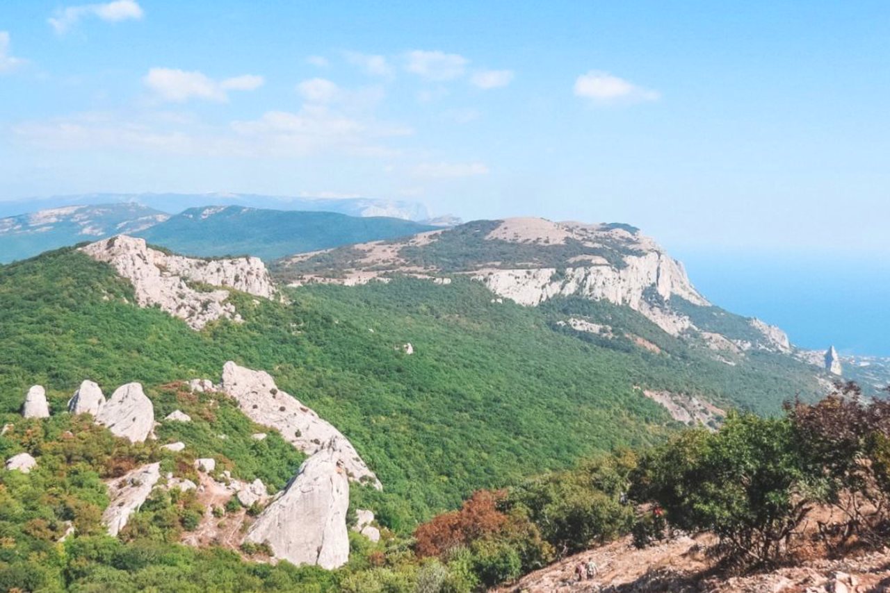
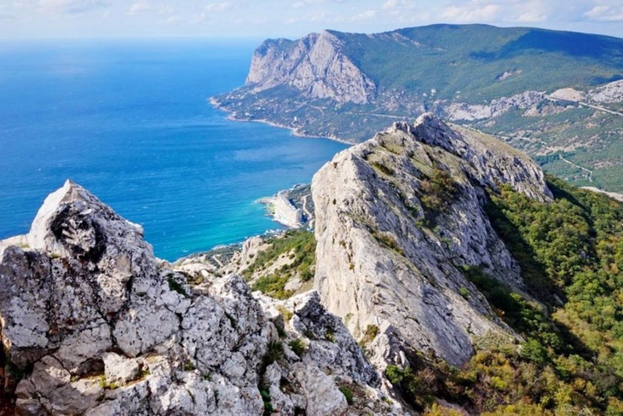
Mount Ilyas-Kaya is the highest massif of Baidarska Yayla (682 meters). It closes the Laspin basin from the east. Translated from Crimean Tatar - Ilya's rock.
A fortified monastery was located almost at the very top of the Ilyas-Kaya mountain in the 10th-13th centuries. The rock on which the fortification is located is impregnable from the north, south and west. You can climb to its top only by a steep eastern slope. From this side, the access to the top was blocked by a line of fortress wall, made of logs on a lime solution, more than 50 meters long. Currently, it is almost completely destroyed and can be traced on the slope in ...
Mount Ilyas-Kaya is the highest massif of Baidarska Yayla (682 meters). It closes the Laspin basin from the east. Translated from Crimean Tatar - Ilya's rock.
A fortified monastery was located almost at the very top of the Ilyas-Kaya mountain in the 10th-13th centuries. The rock on which the fortification is located is impregnable from the north, south and west. You can climb to its top only by a steep eastern slope. From this side, the access to the top was blocked by a line of fortress wall, made of logs on a lime solution, more than 50 meters long. Currently, it is almost completely destroyed and can be traced on the slope in the form of collapsed stones. The largest parameters of the fortress site are 300 by 100 meters.
In 1966, the church of Saint Ilya of the 9th-10th centuries was excavated on Ilyas-Kaya. It is distinguished by the original stepped composition of the internal space: the vestibule, the middle nave, and the altar are elevated one above the other, forming three levels.
Гора Ільяс-Кая - найвищий масив Байдарської яйли (682 метри). Зі сходу замикає Ласпінську улоговину. В перекладі з кримськотатарської - скеля Іллі.
Майже на самій вершині гори Ільяс-Кая в X-XIII сторіччях розташовувався укріплений монастир. Скеля, на якій знаходиться укріплення, з півночі, півдня та заходу неприступна. На її вершину можна піднятися тільки крутим східним схилом. З цього боку доступ на вершину перегороджувала лінія фортечної стіни, складеної з буту на вапняному розчині, довжиною понад 50 метрів. В даний час майже повністю зруйнована і простежується на схилі у вигляді розвалу каміння. Найбільші параметри фортечного майда ...
Гора Ільяс-Кая - найвищий масив Байдарської яйли (682 метри). Зі сходу замикає Ласпінську улоговину. В перекладі з кримськотатарської - скеля Іллі.
Майже на самій вершині гори Ільяс-Кая в X-XIII сторіччях розташовувався укріплений монастир. Скеля, на якій знаходиться укріплення, з півночі, півдня та заходу неприступна. На її вершину можна піднятися тільки крутим східним схилом. З цього боку доступ на вершину перегороджувала лінія фортечної стіни, складеної з буту на вапняному розчині, довжиною понад 50 метрів. В даний час майже повністю зруйнована і простежується на схилі у вигляді розвалу каміння. Найбільші параметри фортечного майданчика 300 на 100 метрів.
У 1966 році на Ільяс-Кая розкопали храм Святого Іллі IX-Х сторічь. Його відрізняє оригінальна ступінчаста композиція внутрішнього простору: притвор, середня нава, вівтар піднесені одні над іншим, утворюючи три ступені.
Practical information about Ilyas-Kaya Mount (Foros)
Last update
3/16/2025
| Categories | Natural object, Archaeological site |
|---|---|
| Address |
Laspi Bay
Foros |
| Coordinates |
44.41083333° N, 33.73166667° E
|
| Additional services |
Аccessibility information
Have you visited Ilyas-Kaya Mount in Foros?
Add practical or descriptive information, photos, links
Ilyas-Kaya Mount (Foros) in photos and videos
What to see, where to go next?


