Functional temporarily unavailable
Bakalska Spit, Sterehushche
Natural object
General information about Bakalska Spit (Sterehushche)
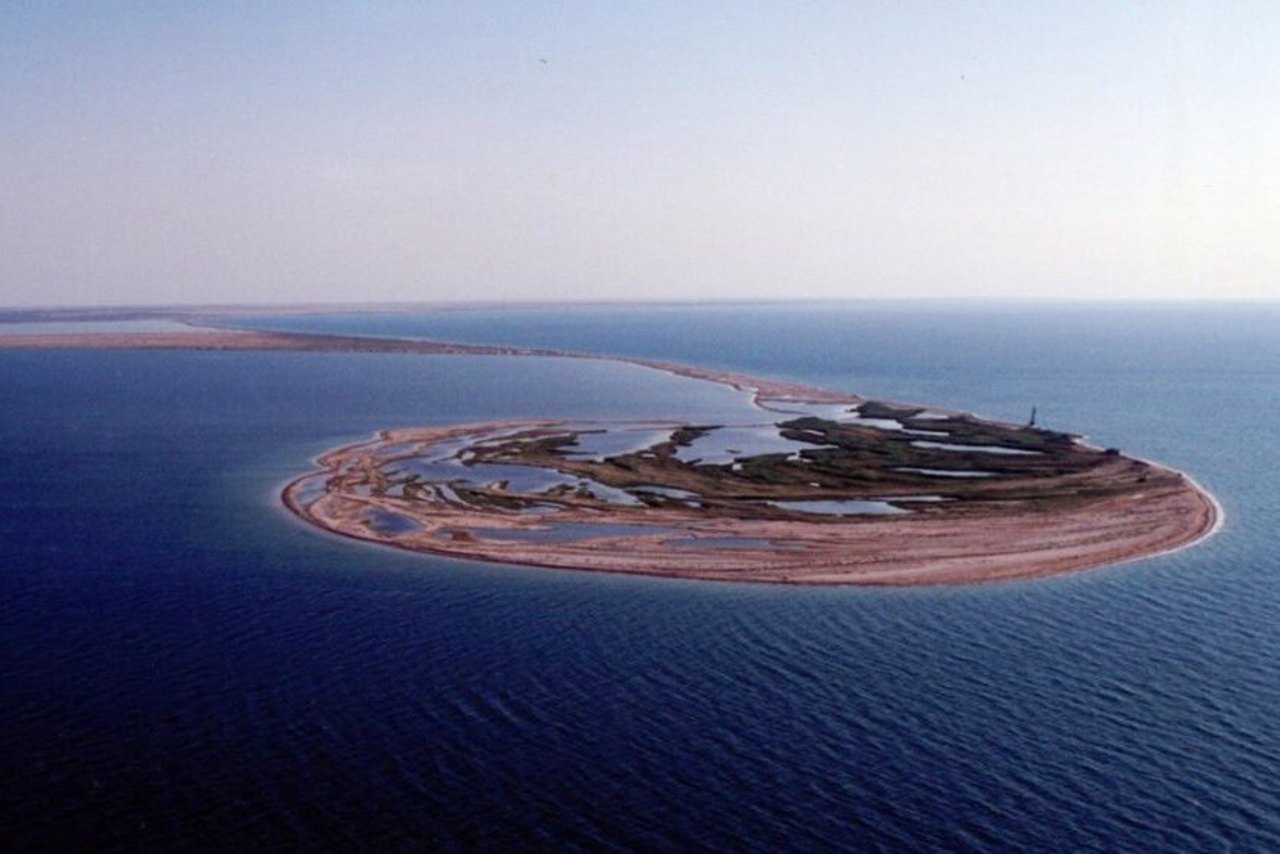
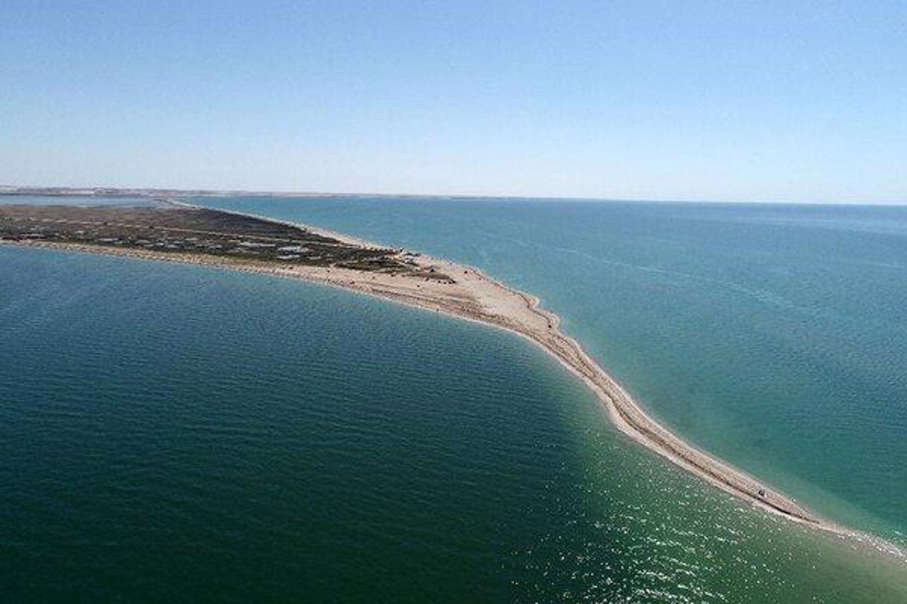
The Bakalska spit is a sand spit that separates Lake Bakalske from the Karkinit Bay of the Black Sea.
It extends into the sea for 8 kilometers, the width in the middle part is approximately 30-50 meters.
Since 1972, it has had the status of a nature and landscape reserve. The reserve occupies the main part of the territory and water area - 1440 hectares. It includes Lake Bakalske with its coastal strip, most of the aquatic complex and the territory of the Bakalska spit itself. The area where the regulated recreation service for vacationers is conducted covers 87 hectares of land and 100 hectares of the aqua complex.
Thank ...
The Bakalska spit is a sand spit that separates Lake Bakalske from the Karkinit Bay of the Black Sea.
It extends into the sea for 8 kilometers, the width in the middle part is approximately 30-50 meters.
Since 1972, it has had the status of a nature and landscape reserve. The reserve occupies the main part of the territory and water area - 1440 hectares. It includes Lake Bakalske with its coastal strip, most of the aquatic complex and the territory of the Bakalska spit itself. The area where the regulated recreation service for vacationers is conducted covers 87 hectares of land and 100 hectares of the aqua complex.
Thanks to wide sandy beaches and a shallow sea, it is considered a great place for children's recreation and water sports. The visit is paid.
Бакальська коса - піщана коса, що відокремлює Бакальське озеро від Каркінітської затоки Чорного моря.
Видається в море на 8 кілометрів, ширина в середній частині становить приблизно 30-50 метрів.
З 1972 року має статус природно-ландшафтного заповідника. Заповідник займає основну частину території та акваторії – 1440 гектарів. До нього відносяться Бакальське озеро з його прибережною смугою, більшість аквального комплексу та території самої Бакальської коси. Площа, де ведеться регульоване рекреаційне обслуговування відпочиваючих, займає 87 гектарів суші та 100 гектарів аквакомплексу.
Завдяки широким піщаним пляжам та др ...
Бакальська коса - піщана коса, що відокремлює Бакальське озеро від Каркінітської затоки Чорного моря.
Видається в море на 8 кілометрів, ширина в середній частині становить приблизно 30-50 метрів.
З 1972 року має статус природно-ландшафтного заповідника. Заповідник займає основну частину території та акваторії – 1440 гектарів. До нього відносяться Бакальське озеро з його прибережною смугою, більшість аквального комплексу та території самої Бакальської коси. Площа, де ведеться регульоване рекреаційне обслуговування відпочиваючих, займає 87 гектарів суші та 100 гектарів аквакомплексу.
Завдяки широким піщаним пляжам та дрібному морю вважається чудовим місцем для дитячого відпочинку та занять водними видами спорту. Відвідування платне.
Practical information about Bakalska Spit (Sterehushche)
Last update
3/18/2025
| Categories | Natural object |
|---|---|
| Address |
Sterehushche |
| Coordinates |
45.7904° N, 33.1676° E
|
| Additional services |
Аccessibility information
Have you visited Bakalska Spit in Sterehushche?
Add practical or descriptive information, photos, links
Bakalska Spit (Sterehushche) in photos and videos
What to see, where to go next?


