Functional temporarily unavailable
Struve Geodetic Arc, Stara Nekrasivka
Monument
General information about Struve Geodetic Arc (Stara Nekrasivka)
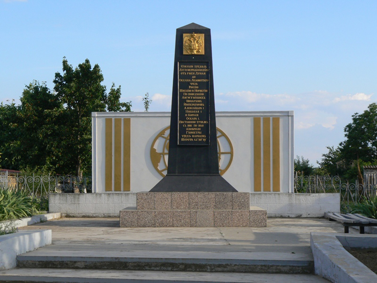
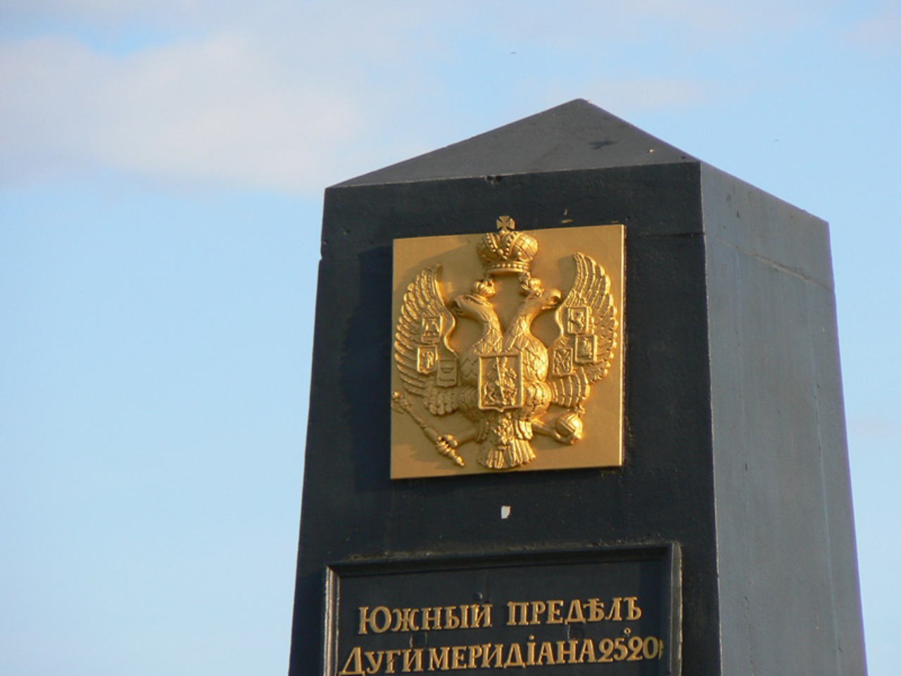
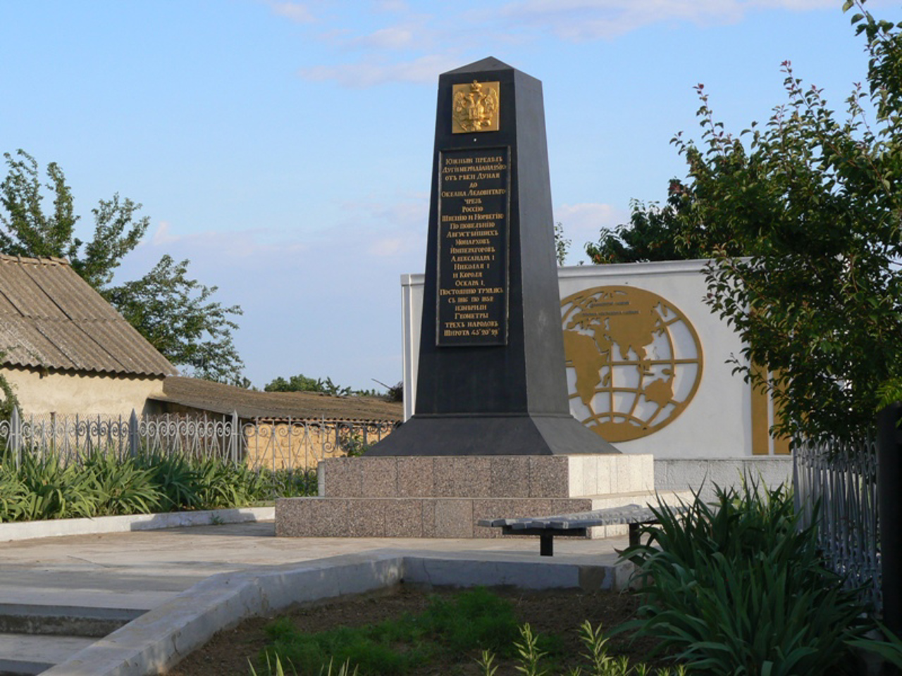
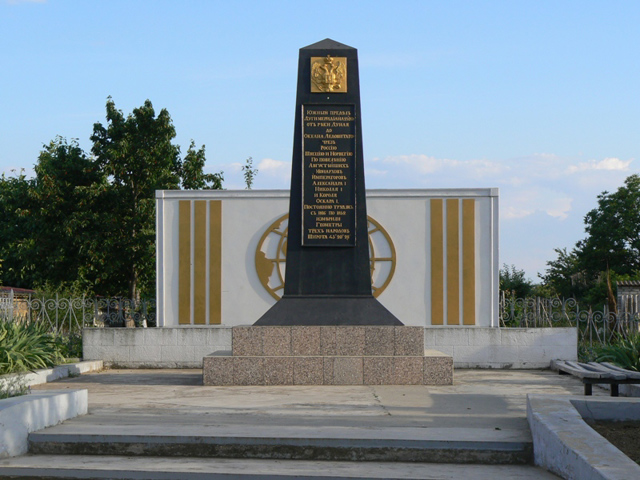
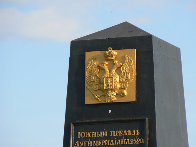
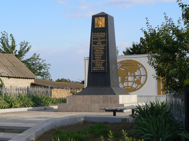
The memorial sign on the southern edge of the Struve Geodetic Arc in Stara Nekrasivka is often called the "Meridian Monument".
The Struve Arc is a network of 265 triangulation points, which are stone cubes embedded in the ground with an edge length of 2 meters. The length of the arc is more than 2,820 kilometers. It runs from the coast of the Arctic Ocean near Cape Nord Cape to the mouth of the Danube.
It was created in 1816-1855 by academician Vasyl Struve with the aim of determining the shape and dimensions of the Earth.
Пам'ятний знак на південному краю Дуги Струве у Старій Некрасівці часто називають "Пам'ятником меридіану".
Дуга Струве - це мережа з 265 тріангуляційних пунктів, що являють собою закладені в землю кам'яні куби із довжиною ребра 2 метри. Протяжність дуги – понад 2820 кілометрів. Вона проходить від узбережжя Північного Льодовитого океану поблизу мису Норд-Кап до гирла Дунаю.
Створювалася в 1816-1855 роках академіком Василем Струве з метою визначення форми та розмірів Землі.
Practical information about Struve Geodetic Arc (Stara Nekrasivka)
Last update
4/16/2025
| Categories | Monument |
|---|---|
| Date of foundation | 1855 |
| Address |
Stara Nekrasivka |
| Coordinates |
45.3327° N, 28.9277° E
|
| Additional services |
Аccessibility information
Have you visited Struve Geodetic Arc in Stara Nekrasivka?
Add practical or descriptive information, photos, links
What to see, where to go next?

