Functional temporarily unavailable
Cape Sarych, Foros
Natural object
General information about Cape Sarych (Foros)
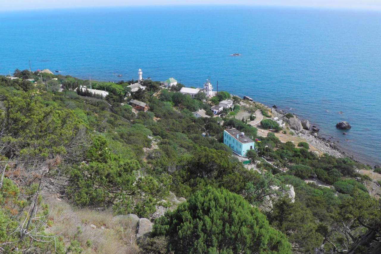
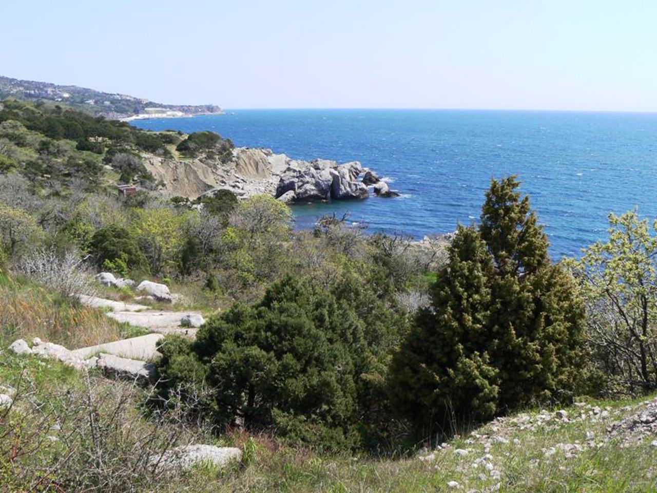
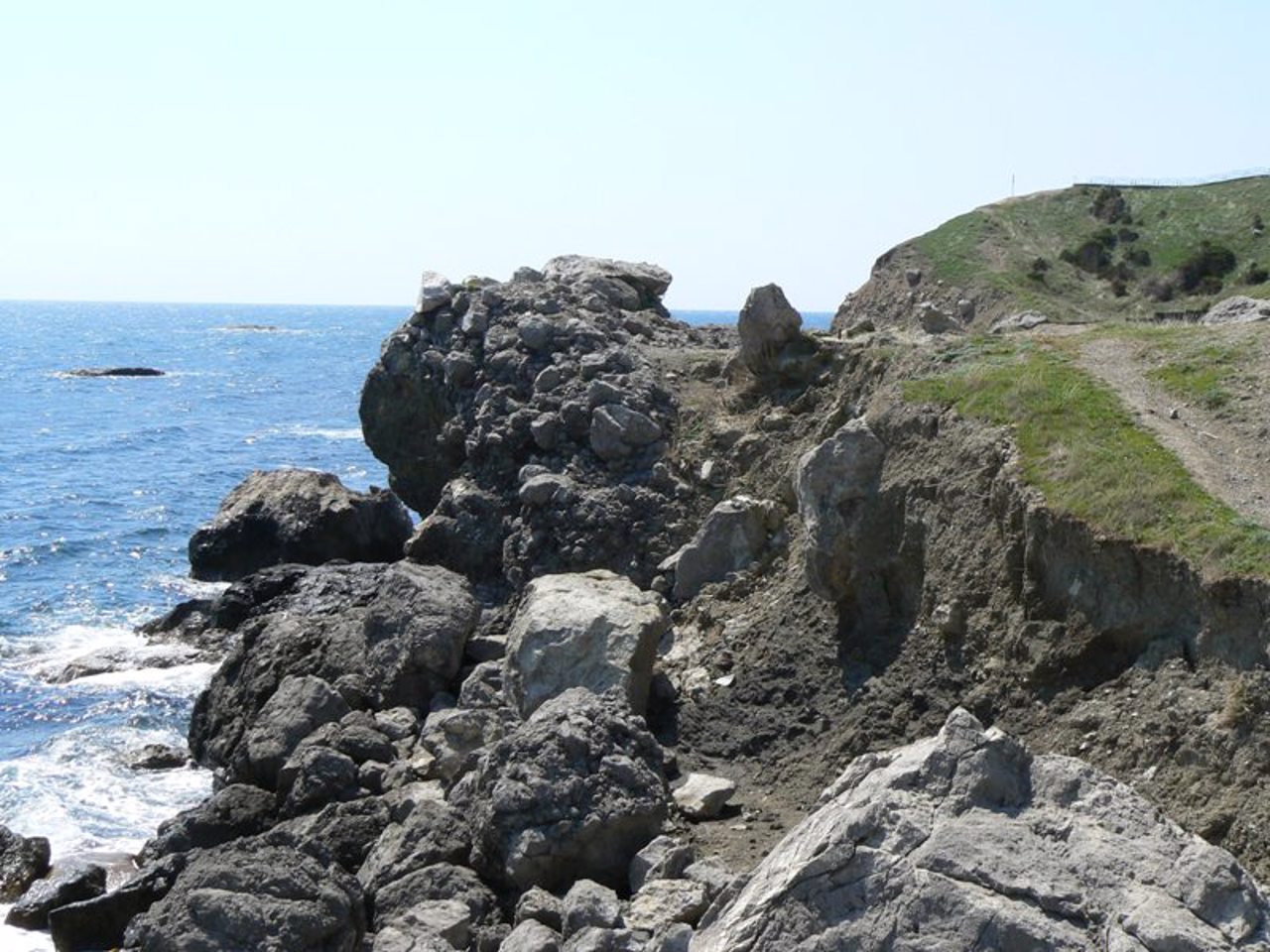
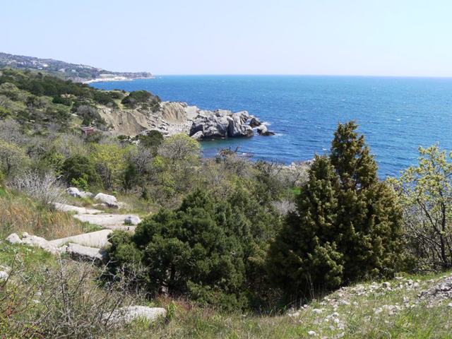
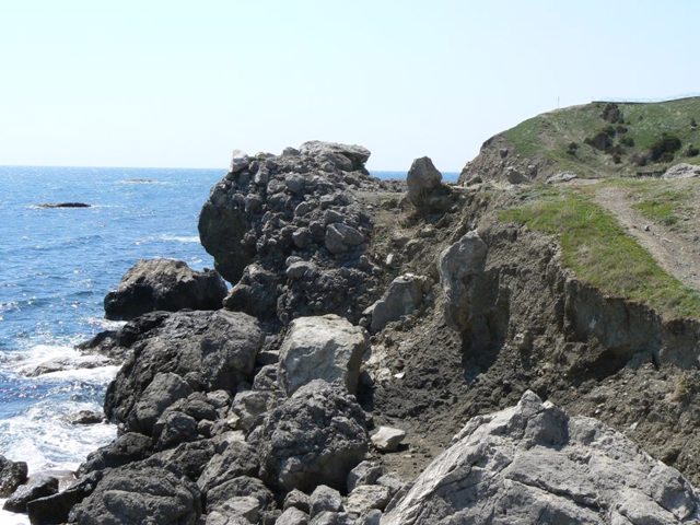
The rocky Sarych cape, 5 kilometers west of Foros, is the southernmost point of Ukraine and Crimea.
It is formed by the humped slope of a spur of Baidarska Yaila, which descends in the southern direction and is covered with rare wheels.
In 1898, a navigation lighthouse was built on the edge of Cape Sarych.
Currently, the southern part of the cape around the lighthouse is densely built up with private cottages, access to the water is limited.
Скелястий мис Сарич, що за 5 кілометрів на захід від Форосу, є найпівденнішою точкою України та Криму.
Утворений горбатим схилом відрогу Байдарської Яйли, що знижується в південному напрямку і вкрите рідкісними колесами.
На краю мису Сарич у 1898 році був побудований навігаційний маяк.
В даний час південна частина мису навколо маяка щільно забудована приватними котеджами, доступ до води обмежений.
Practical information about Cape Sarych (Foros)
Last update
4/23/2025
| Categories | Natural object |
|---|---|
| Address |
cape Sarych
Foros |
| Coordinates |
44.38777778° N, 33.73888889° E
|
| Additional services |
Аccessibility information
Have you visited Cape Sarych in Foros?
Add practical or descriptive information, photos, links
Cape Sarych (Foros) in photos and videos
What to see, where to go next?

