Functional temporarily unavailable
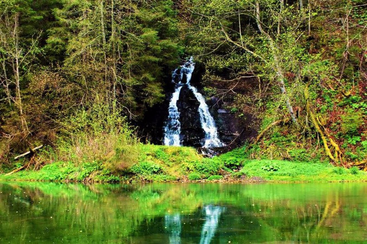
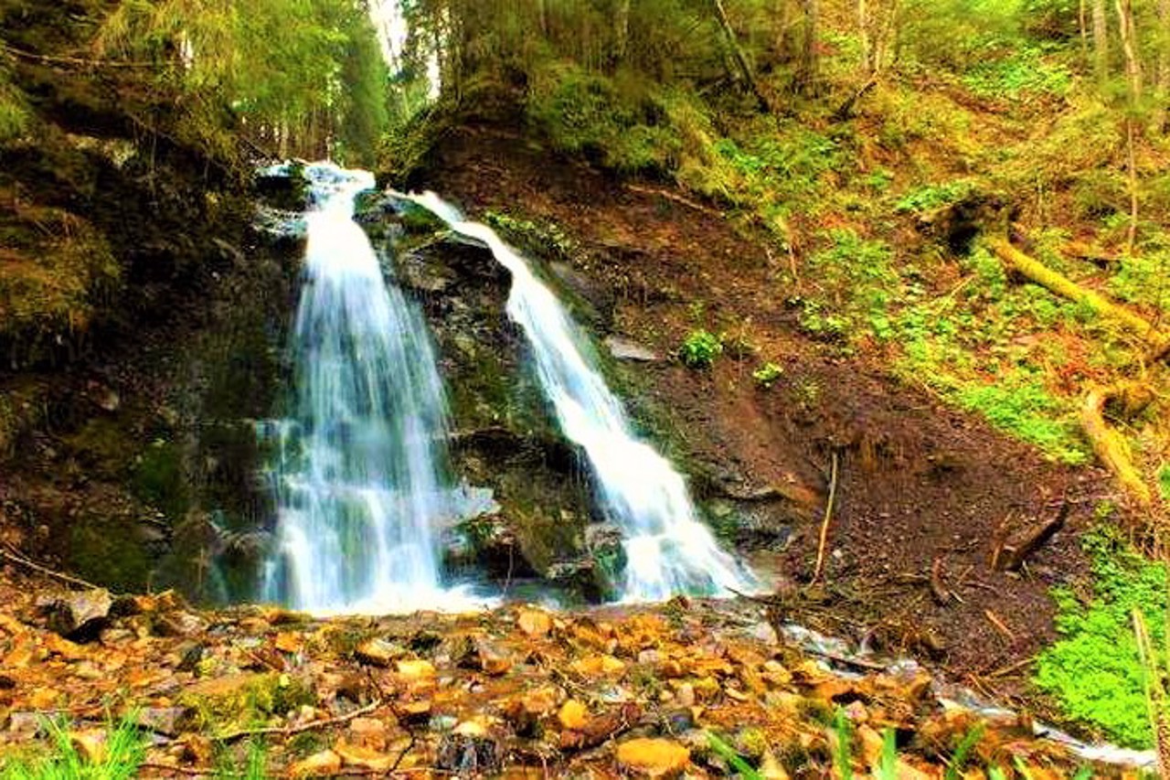
Salatruchil Waterfall, Bystrytsia
Natural object
General information about Salatruchil Waterfall (Bystrytsia)
The Salatruchil waterfall is formed by the flow of the Salatruk river, opposite the mouth of the Salatruchil river (local name - "sixth kilometer"), which then flows into the Bystrytsia-Nadvirnyanska river 6.3 kilometers from the village of Bystrytsia (Rafaylovo).
The height of the water drop is about 6 meters. The area is 985 meters above sea level.
Водоспад Салатручіль формується потоком річки Салатрук, навпроти гирла річки Салатручіль (місцева назва – "шостий кілометр"), яка далі впадає в річку Бистриця-Надвірнянська за 6,3 кілометрів від села Бистриця (Рафайлове).
Висота спаду води – близько 6 метрів. Висота місцевості над рівнем моря – 985 метрів.
Practical information about Salatruchil Waterfall (Bystrytsia)
Last update
4/24/2025
| Categories | Natural object |
|---|---|
| Address |
Salatruchil tract
Bystrytsia |
| Coordinates |
48.47944444° N, 24.18166667° E
|
| Additional services |
Аccessibility information
Have you visited Salatruchil Waterfall in Bystrytsia?
Add practical or descriptive information, photos, links
Salatruchil Waterfall (Bystrytsia) in photos and videos
What to see, where to go next?


