Functional temporarily unavailable
Tepe-Kermen, Mashyne
Historic area
Castle / fortress
General information about Tepe-Kermen (Mashyne)
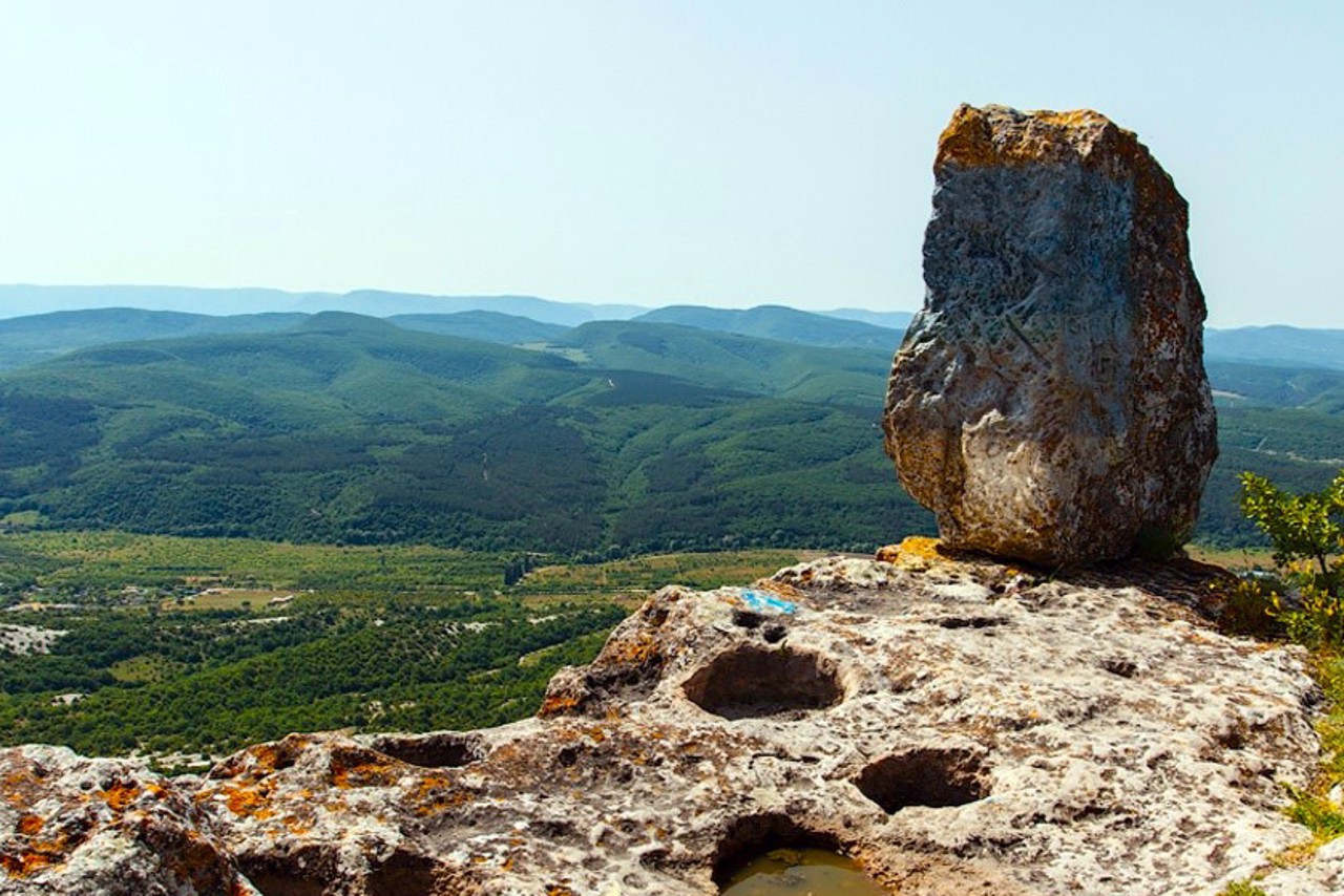
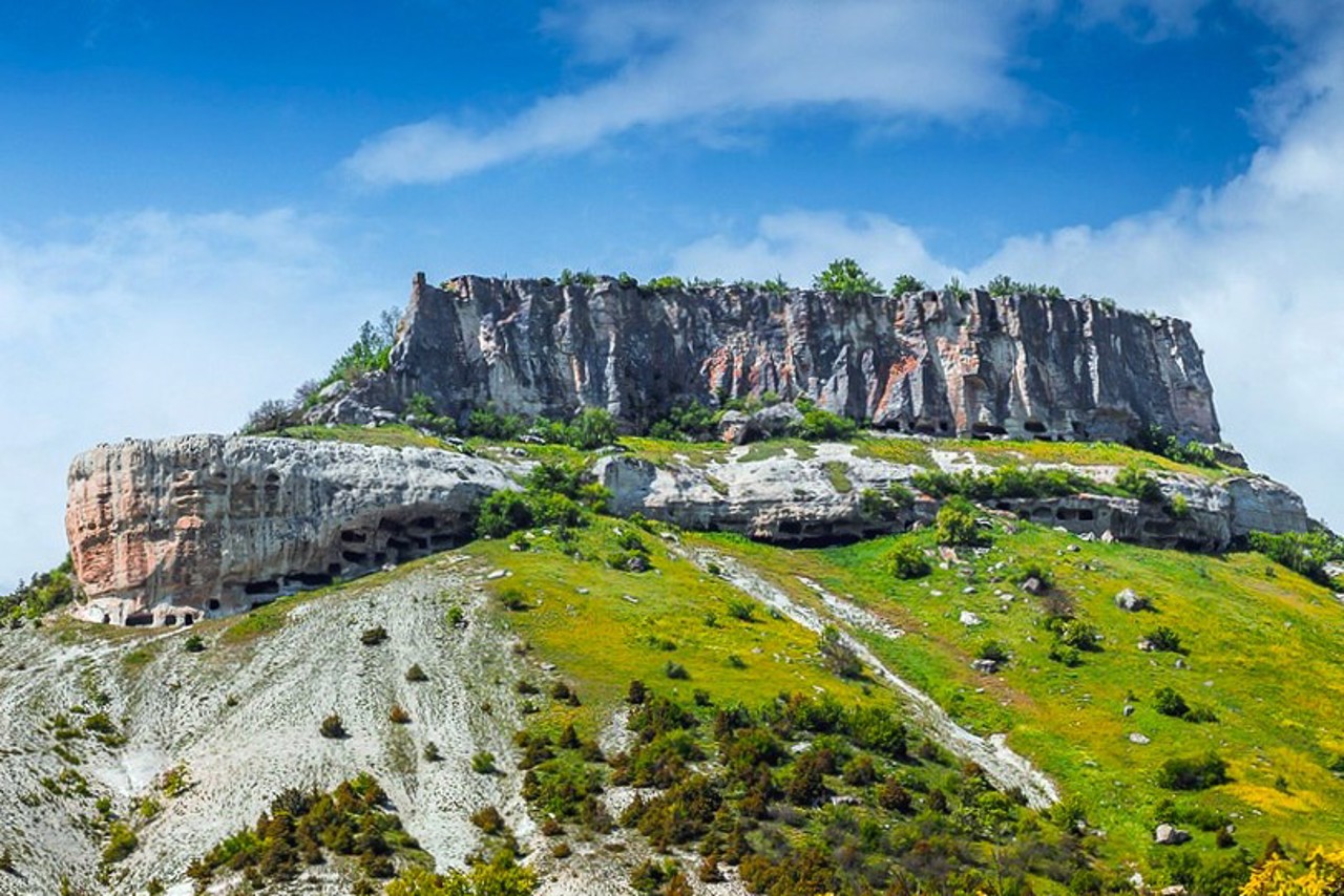
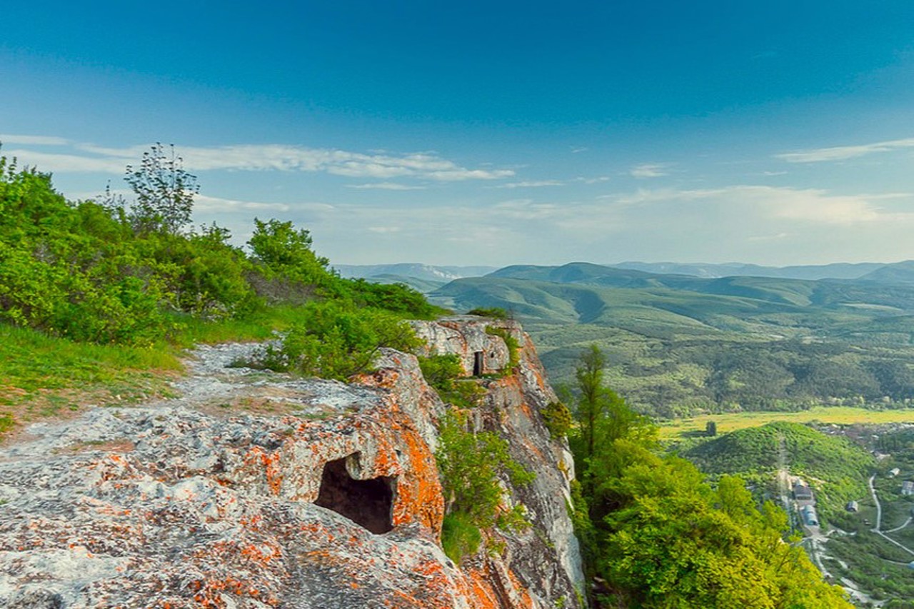
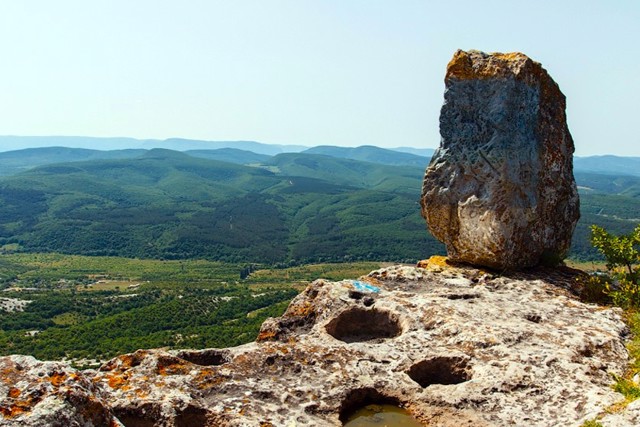
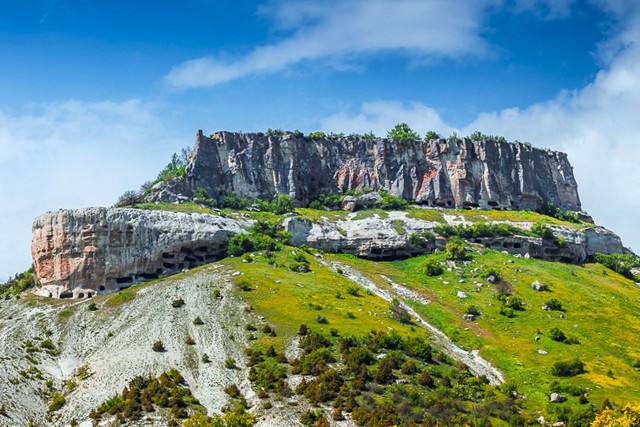
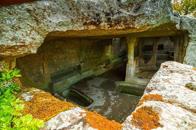
The fortified cave settlement of Tepe-Kermen ("mountain fortress") is located on a mountain plateau above the Kacha River near the Kiz-Kermen plateau near the village of Mashyne.
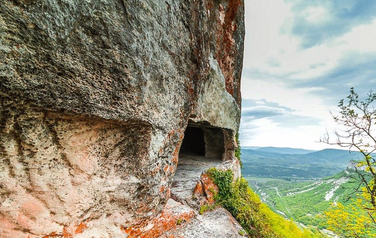
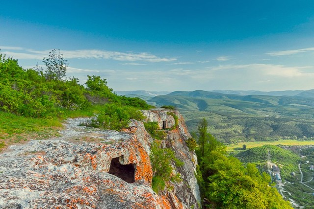
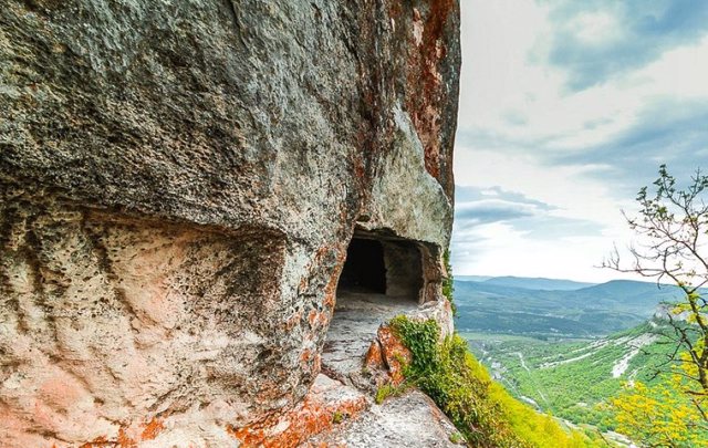
Probably founded in the early Middle Ages. In the 8th-14th centuries, icon worshipers expelled from Byzantium during the era of iconoclasm lived here. The cave church with columns is located in the northeastern part of the plateau. 250 caves were explored: temples, casemates, granaries, cattle sheds, etc.
Укріплене печерне поселення Тепе-Кермен ("гірська фортеця") розташоване на гірському плато над річкою Кача поблизу плато Киз-Кермен поряд з селом Машине.
Ймовірно, засноване у ранньому середньовіччі. У VIII-XIV сторіччях тут мешкали іконопочитачі, вигнані з Візантії за часів іконоборства. Печерна церква з колонами знаходиться у північно-східній частині плато. Досліджено 250 печер: храми, каземати, зерносховища, загоди для худоби тощо.
Practical information about Tepe-Kermen (Mashyne)
Last update
1/30/2025
| Categories | Historic area, Castle / fortress |
|---|---|
| Date of foundation | VIII-XIV |
| Address |
Mashyne |
| Coordinates |
44.71444444° N, 33.93° E
|
| Additional services |
Аccessibility information
Have you visited Tepe-Kermen in Mashyne?
Add practical or descriptive information, photos, links
What to see, where to go next?

