Functional temporarily unavailable
Devil's Rock, Vynnyky
Natural object
General information about Devil's Rock (Vynnyky)
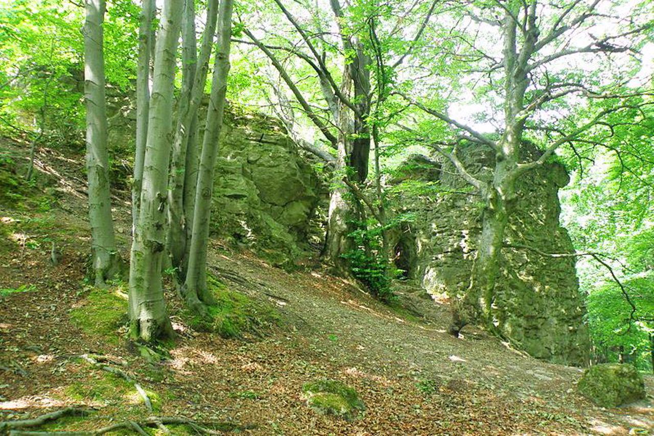
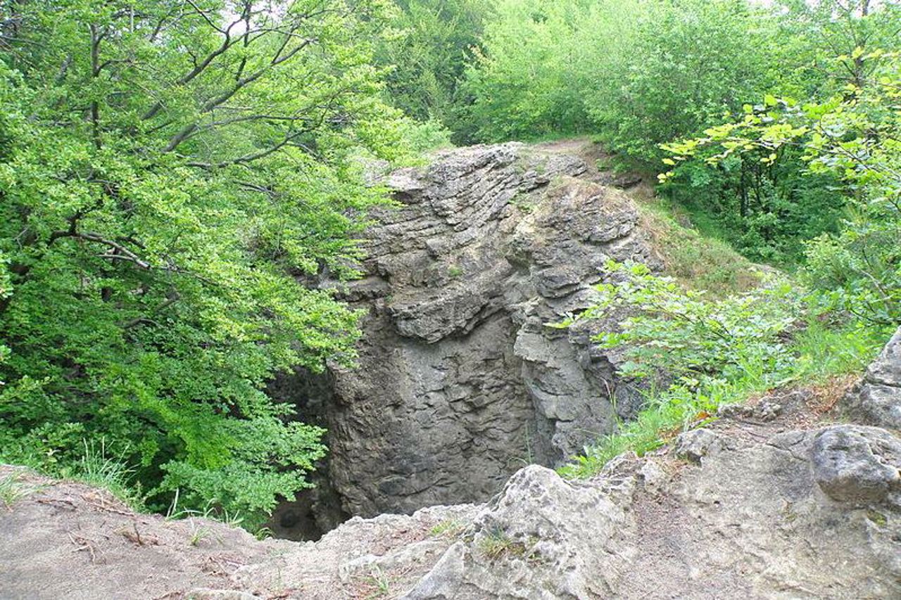
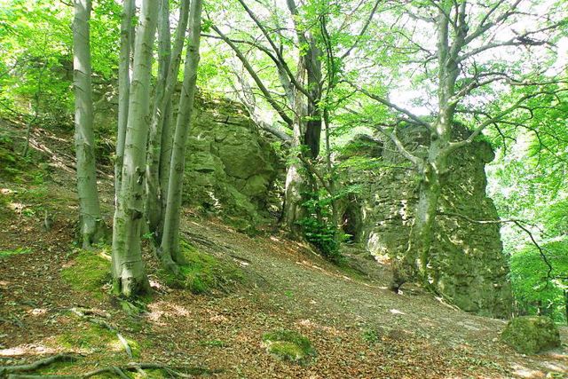
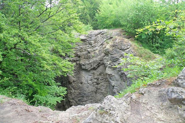
Devil's Rock in Vynnyky is the highest point on the outskirts of Lviv (418 meters).
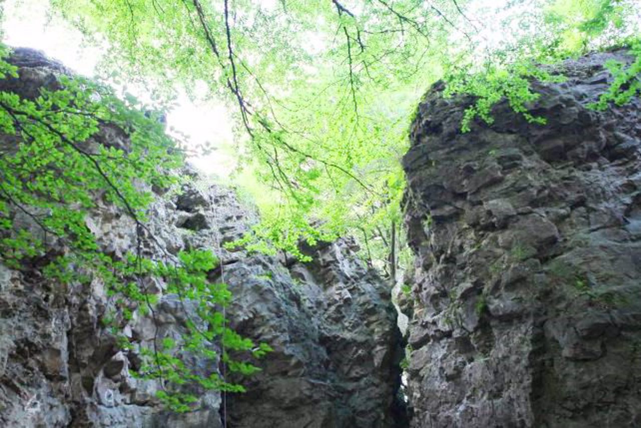
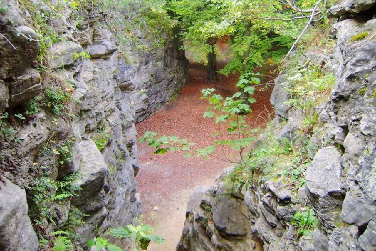
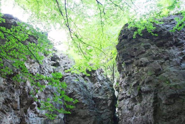
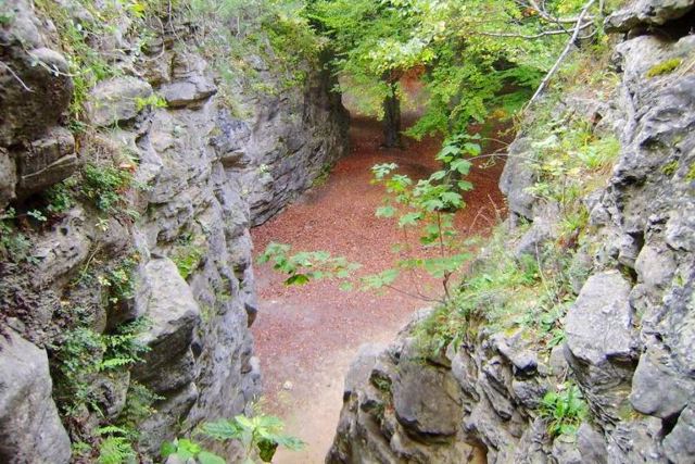
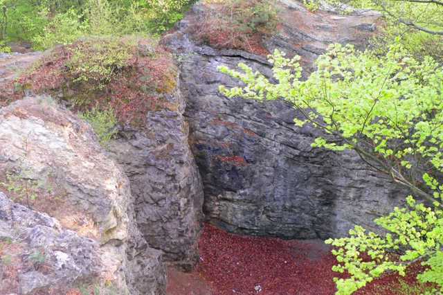
The rock consists of sandstones, the bizarre shape of which was formed as a result of erosion and quarrying of building stone.
Until the 18th century, the ruins of the fortress could be seen on the top of the Devil's Rock. During various wars, the rock served as a guard post, battles with Turks, Tatars and Bolsheviks took place at its foot.
Since the 19th century, Devil's Rock has been one of the most popular recreation spots for Lviv residents.
Чортова скеля у Винниках – найвища точка на околицях Львова (418 метрів).
Скеля складається з пісковиків, химерна форма яких утворилася внаслідок ерозії та видобутку будівельного каменю.
До XVIII століття на вершині Чортової скелі було видно руїни фортеці. Під час різних воєн скеля служила сторожовим постом, біля її підніжжя відбувалися битви з турками, татарами та більшовиками.
З ХІХ століття Чортова скеля є одним з найпопулярніших місць відпочинку львів'ян.
Practical information about Devil's Rock (Vynnyky)
Last update
5/7/2025
| Categories | Natural object |
|---|---|
| Address |
Devil's Rocks tract
Vynnyky |
| Coordinates |
49.82861111° N, 24.11777778° E
|
| Additional services |
Аccessibility information
Have you visited Devil's Rock in Vynnyky?
Add practical or descriptive information, photos, links
What to see, where to go next?

