Functional temporarily unavailable
Cape Aya, Sevastopol
Natural object
General information about Cape Aya (Sevastopol)
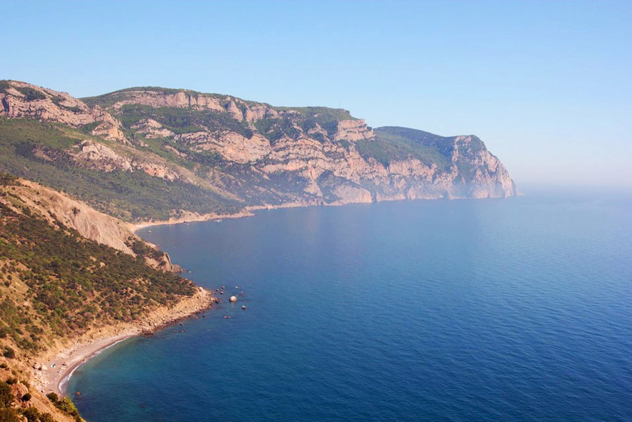
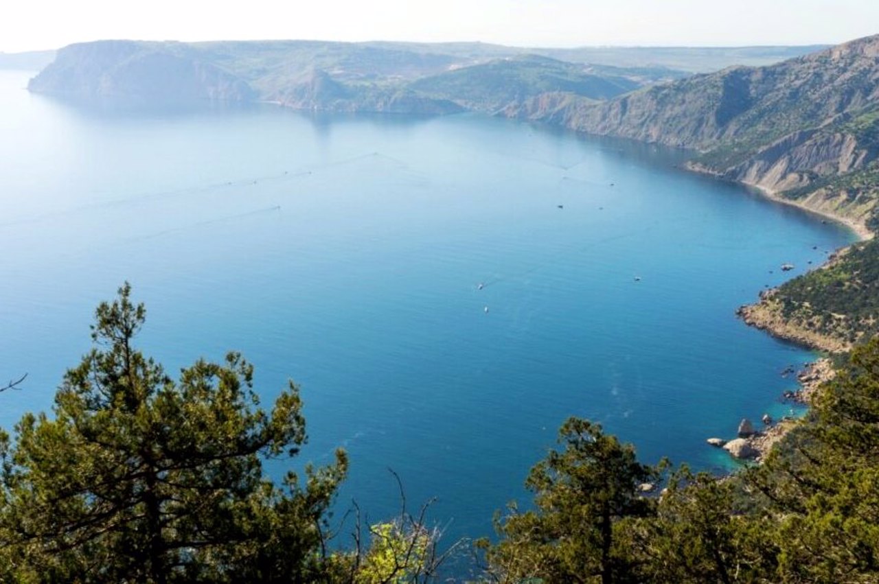
Cape Aya on the southern coast of Crimea is considered the conditional western border of the SCC.
It is a steep spur of the Main Ridge of the Crimean Mountains (the highest point of the cape is Mount Kokiya-Kala, 558 meters).
The state landscape reserve "Cape Aya" combines such natural attractions as the Batylyman tract, groves of Pizunda pine, tall juniper and Stankevych pine, as well as a coastal aqua complex near Cape Aya.
At the foot of the cape there are caves and the beach "Lost World", which can be reached from Balaklava only by sea.
Мис Айя на південному березі Криму вважається умовним західним кордоном ПБК.
Є стрімким відрогом Головної гряди Кримських гір (вища точка мису - гора Кокія-Кала, 558 метрів).
Державний ландшафтний заказник "Мис Айя" поєднує такі пам'ятки природа, як урочище Батилиман, гаї піцундської сосни, ялівцю високого та сосни Станкевича, а також прибережний аквальний комплекс біля мису Айя.
Біля підніжжя мису є гроти та пляж "Загублений світ", на який з Балаклави можна дістатися тільки морем.
Practical information about Cape Aya (Sevastopol)
Last update
5/28/2025
| Categories | Natural object |
|---|---|
| Address |
Batylyman tract
Sevastopol |
| Coordinates |
44.4274515° N, 33.6566591° E
|
| Additional services |
Аccessibility information
Have you visited Cape Aya in Sevastopol?
Add practical or descriptive information, photos, links
Cape Aya (Sevastopol) in photos and videos
What to see, where to go next?


