Functional temporarily unavailable
Rushirskyi Waterfall, Liucha
Natural object
Information on this page is translated from Ukrainian language automatically by machine translation and may not always accurately express the original. We nevertheless hope it will be of use to you and make it easier for you to plan your trip.
General information about Rushirskyi Waterfall (Liucha)
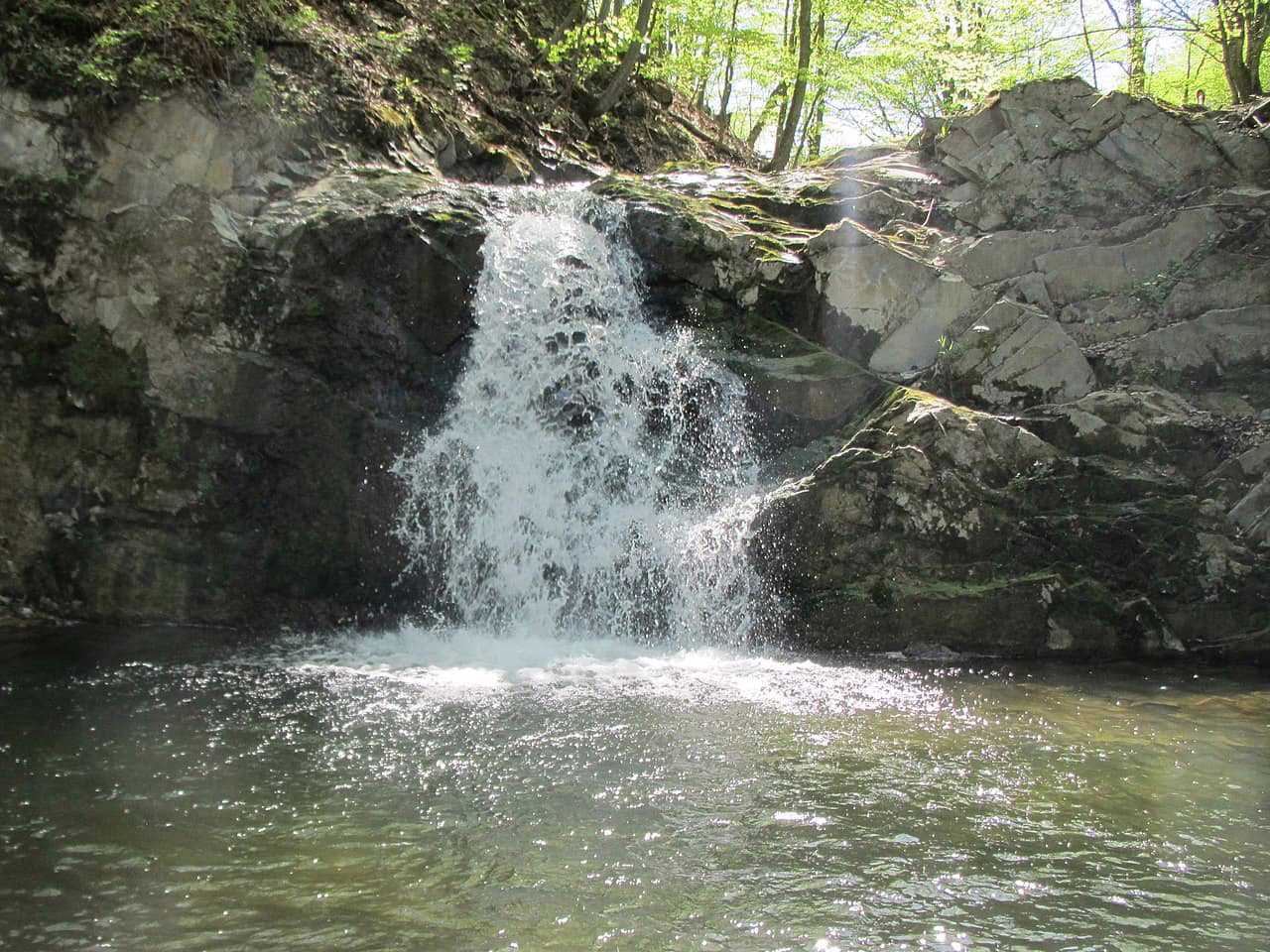
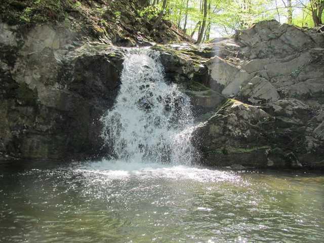
Rushirskyi Waterfall (Rushirskyi Huk), on the southern edge of the village of Liucha, is located on the Rushir River, which flows into Liuchka.
The waterfall with a height of 4 meters was formed at the place where the Rushir River breaks through the fold of Mehura and Tarnitsa.
Рушірський водоспад (Рушірський Гук), що на південній околиці села Люча, розташований на річці Рушір, яка впадає у Лючку.
Водоспад висотою 4 метри утворився на місці прориву річки Рушір крізь складку Мегури та Тарниці.
Practical information about Rushirskyi Waterfall (Liucha)
Last update
5/28/2025
| Categories | Natural object |
|---|---|
| Address |
Liucha |
| Coordinates |
48.3687629° N, 24.8793957° E
|
| Additional services |
Аccessibility information
Have you visited Rushirskyi Waterfall in Liucha?
Add practical or descriptive information, photos, links
Rushirskyi Waterfall (Liucha) in photos and videos
What to see, where to go next?


