Functional temporarily unavailable
Attractions of Ukraine
Attractions region
Attractions Lviv region
Attractions Lviv district
Attractions Horodok
Old Park (Ancient Rus Hillfort)
Old Park (Ancient Rus Hillfort), Horodok
Historic area
Park / garden
Archaeological site
General information about Old Park (Ancient Rus Hillfort) (Horodok)
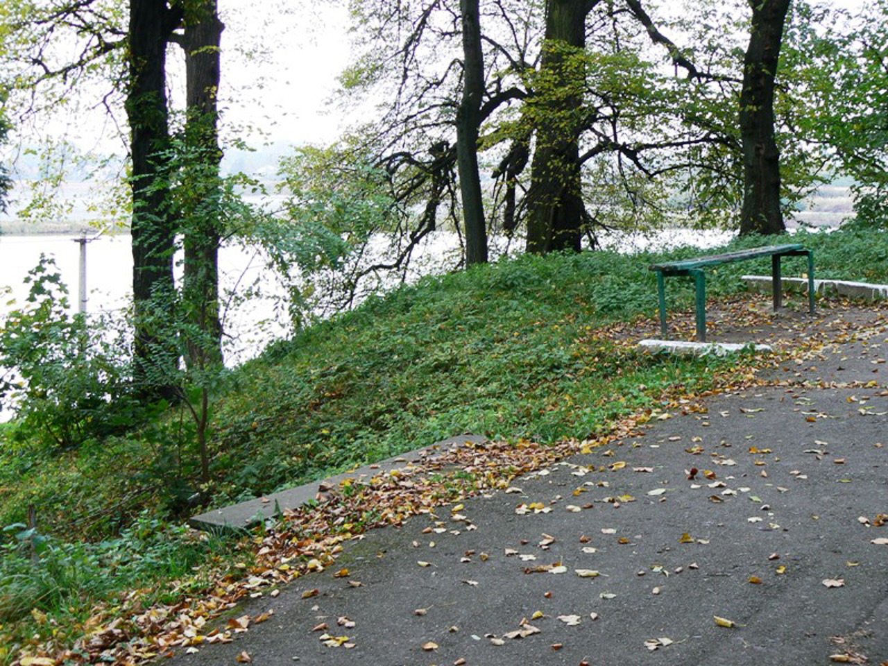
The old park of the city of Horodok was built in the 18th century near the Ancient Rus Hillfort of the 11th and 13th centuries.
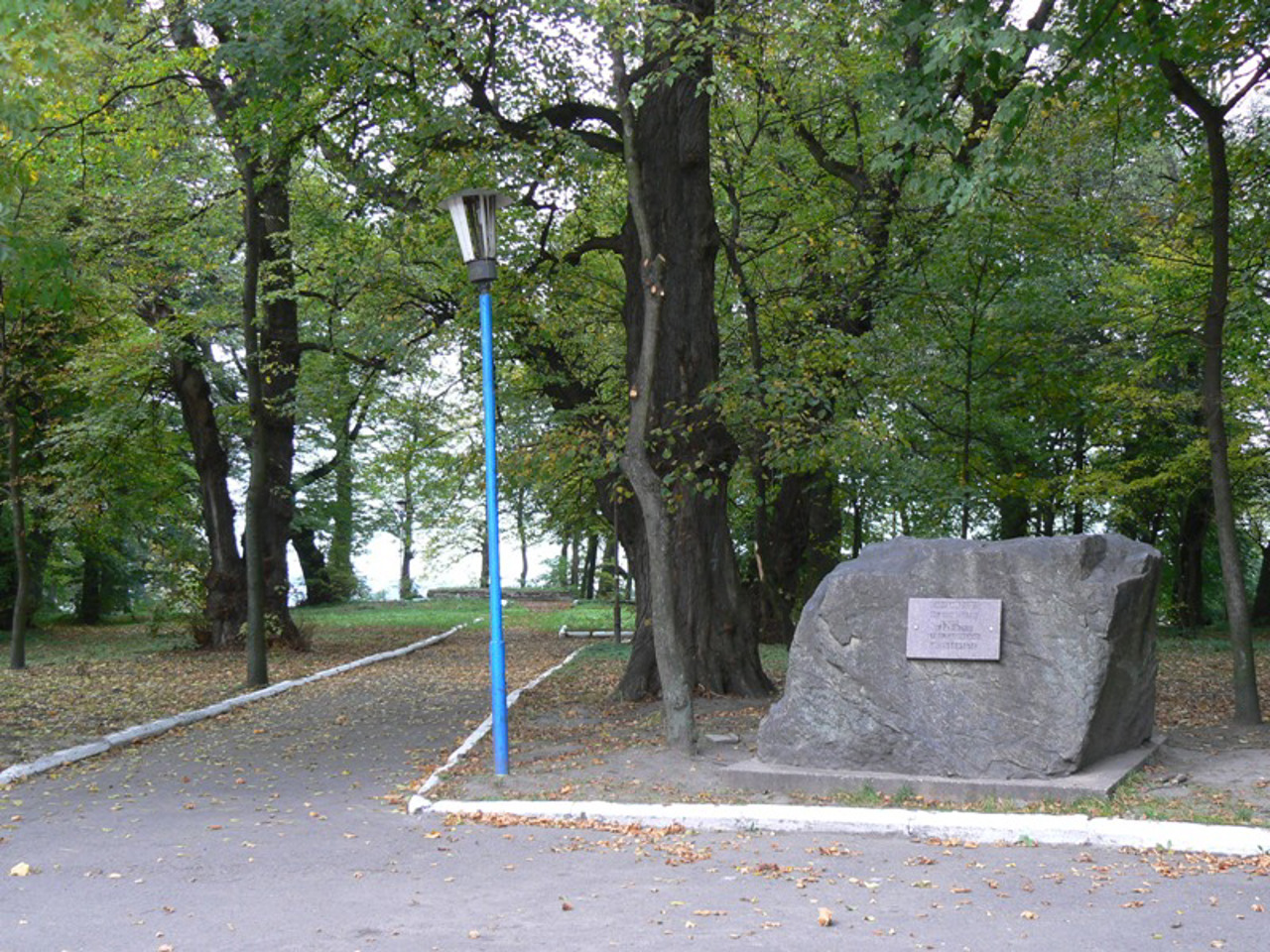
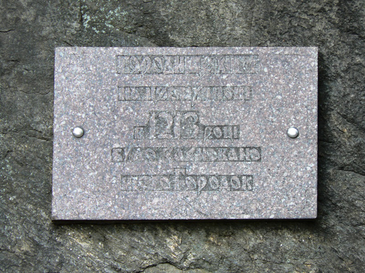
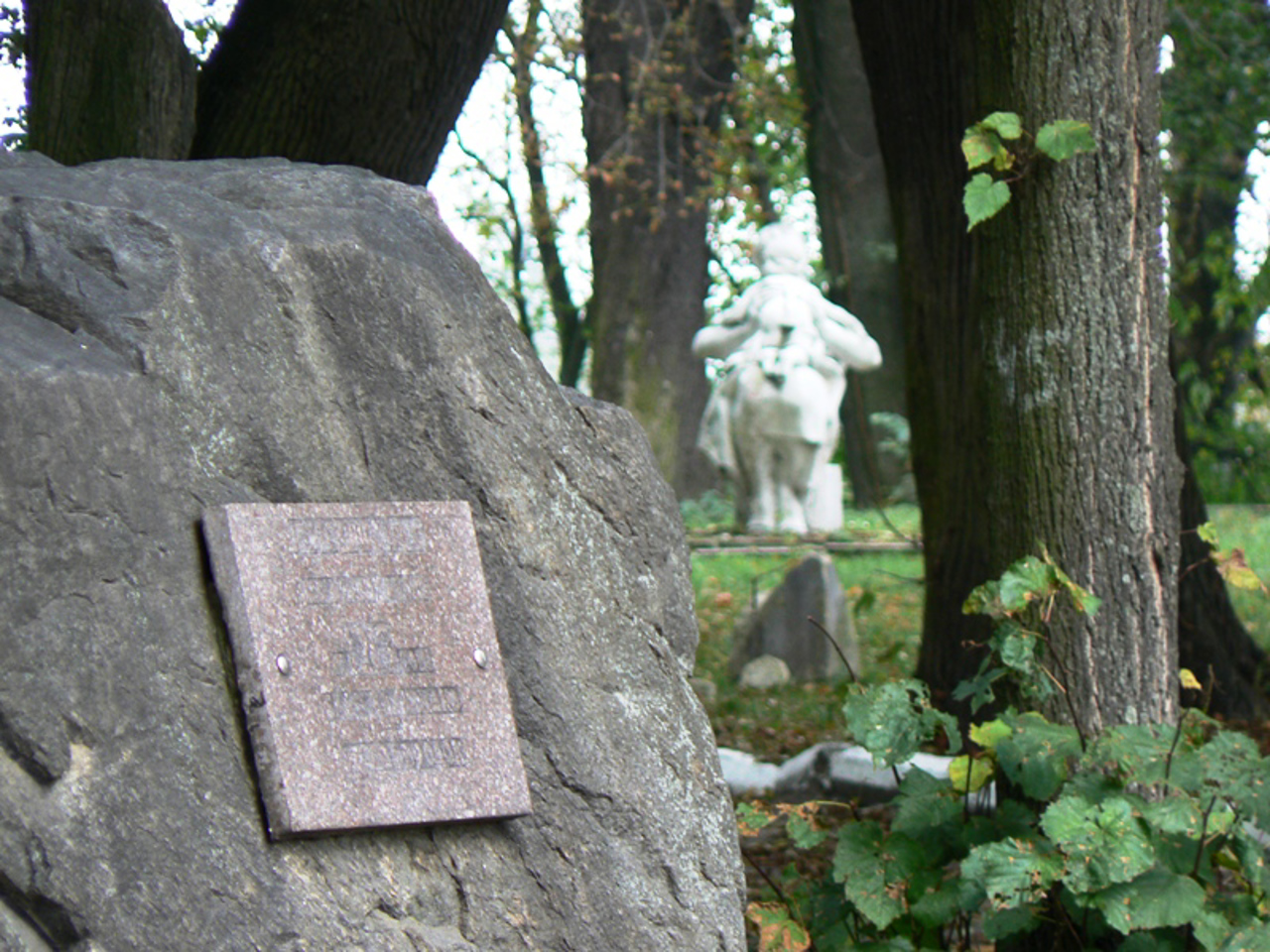
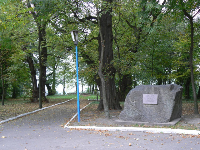
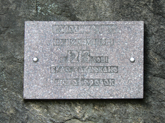
A child of the ancient city was located in this place. The memorial sign indicates that in 1213 the city of Horodok was founded on this place. The external fortifications consisted of a system of ramparts and ditches (partially preserved), ponds and the natural channel of the Vereshchytsa River, which turned Horodok into an artificial island that could only be reached by two bridges.
At the end of the 14th century, Prince Vladyslav Opolchyk built a castle on the hillfort, which became a royal castle under Vladyslav II Yahaylo. It was probably made of wood, since after the capture of the castle by the Tatars in 1611 and the subsequent events of the L ...
The old park of the city of Horodok was built in the 18th century near the Ancient Rus Hillfort of the 11th and 13th centuries.
A child of the ancient city was located in this place. The memorial sign indicates that in 1213 the city of Horodok was founded on this place. The external fortifications consisted of a system of ramparts and ditches (partially preserved), ponds and the natural channel of the Vereshchytsa River, which turned Horodok into an artificial island that could only be reached by two bridges.
At the end of the 14th century, Prince Vladyslav Opolchyk built a castle on the hillfort, which became a royal castle under Vladyslav II Yahaylo. It was probably made of wood, since after the capture of the castle by the Tatars in 1611 and the subsequent events of the Liberation War, no traces of it remained.
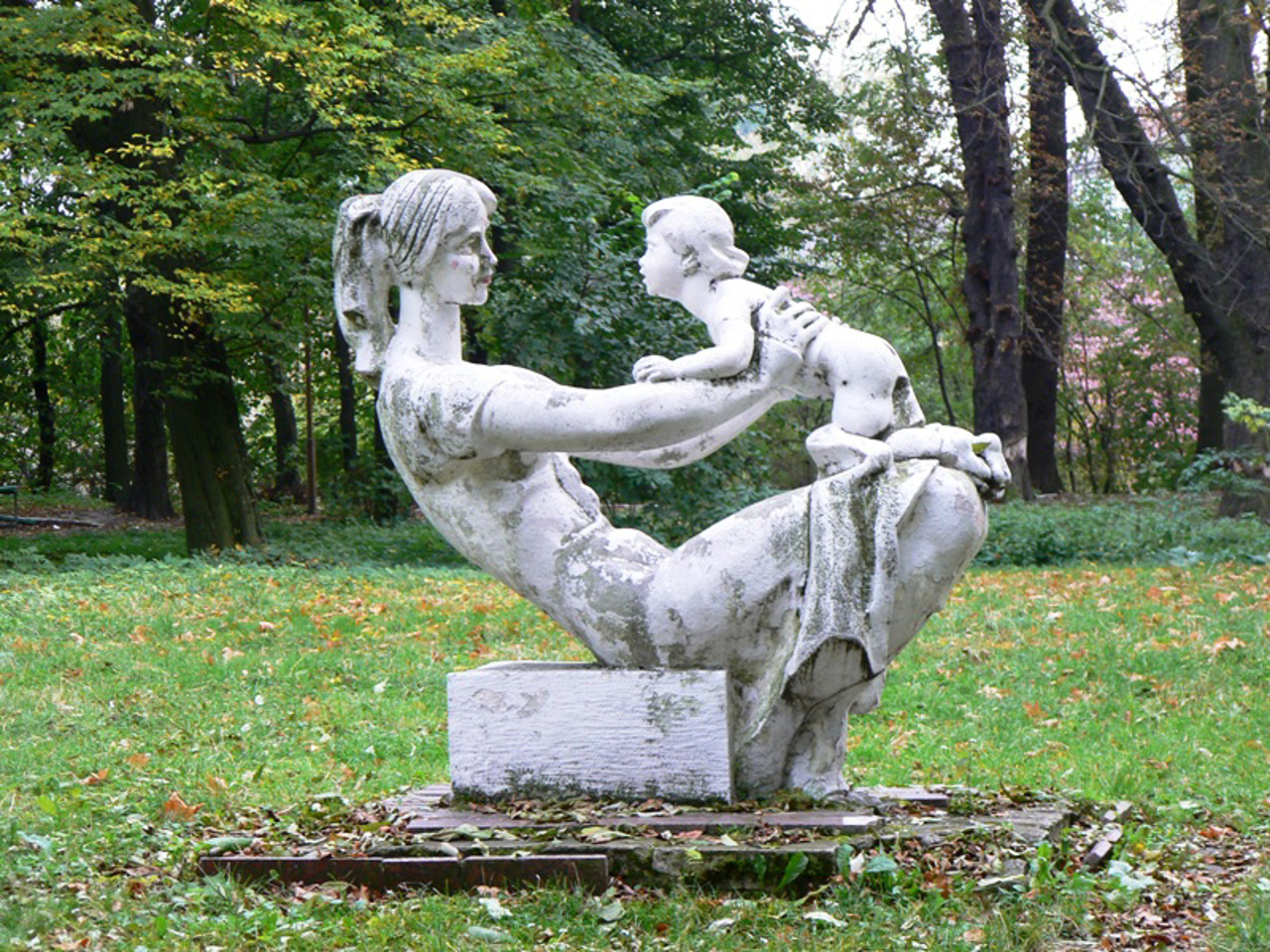
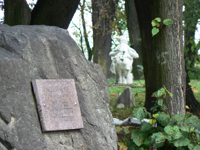
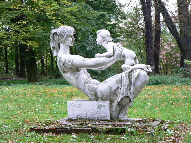
In 1682, a wooden Starostynsky palace was built on its place, and in the 18th century, already under Austrian rule, the Park of Generals was demolished. In Soviet times, it was renamed Komsomolskyi Park, which the sculpture of a mother with a child reminds of.
Horodok City Park has the status of a monument of garden and park art.
Старий парк міста Городок розбитий у XVIII столітті біля давньоруського городища XI-XIII сторіччь.
На цьому місці розташовувався дитинець стародавнього міста. Пам'ятний знак вказує, що у 1213 році на цьому місці було засновано місто Городок. Зовнішні укріплення складалися із системи валів і ровів (частково збереглися), ставків та природного русла Верещиці, що перетворювало Городок на штучний острів, на який можна було потрапити лише двома мостами.
В кінці XIV сторіччя князь Владислав Опольчик збудував на городищі замок, який за Владислава II Ягайло став королівським. Ймовірно, він був дерев'яним, оскільки після захоплення замку татарами у 1611 році та наступних подій Визвольної війни жодних слідів від нього не залишилося.
У 1682 році на його місці було збудован ...
Старий парк міста Городок розбитий у XVIII столітті біля давньоруського городища XI-XIII сторіччь.
На цьому місці розташовувався дитинець стародавнього міста. Пам'ятний знак вказує, що у 1213 році на цьому місці було засновано місто Городок. Зовнішні укріплення складалися із системи валів і ровів (частково збереглися), ставків та природного русла Верещиці, що перетворювало Городок на штучний острів, на який можна було потрапити лише двома мостами.
В кінці XIV сторіччя князь Владислав Опольчик збудував на городищі замок, який за Владислава II Ягайло став королівським. Ймовірно, він був дерев'яним, оскільки після захоплення замку татарами у 1611 році та наступних подій Визвольної війни жодних слідів від нього не залишилося.
У 1682 році на його місці було збудовано дерев'яний старостинський палац, а у XVIII столітті, вже за австрійської влади, розбито Генеральський парк. У радянські часи його перейменували на Комсомольський парк, про що нагадує скульптура матері з дитиною.
Міський парк Городка має статус пам'ятки садово-паркового мистецтва.
Practical information about Old Park (Ancient Rus Hillfort) (Horodok)
Last update
6/3/2025
| Categories | Historic area, Park / garden, Archaeological site |
|---|---|
| Date of foundation | XVIII century |
| Address |
Parkova Street
Horodok |
| Coordinates |
49.7864425° N, 23.6440133° E
|
| Additional services |
Аccessibility information
Have you visited Old Park (Ancient Rus Hillfort) in Horodok?
Add practical or descriptive information, photos, links
What to see, where to go next?

