Functional temporarily unavailable
Black Lake (Berestuvate), Bohdanivka
Natural object
General information about Black Lake (Berestuvate) (Bohdanivka)
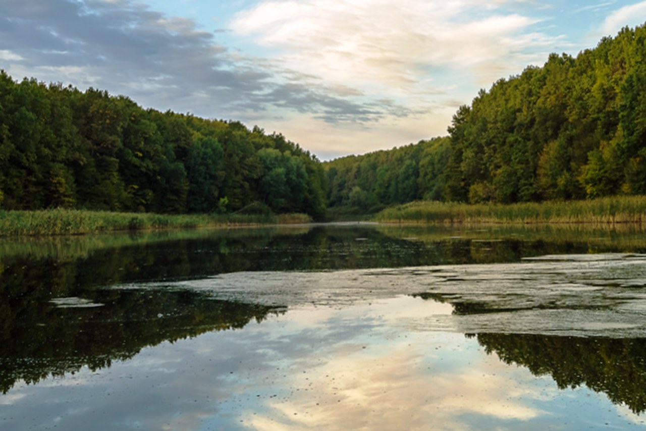
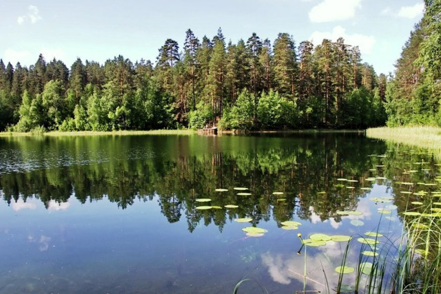
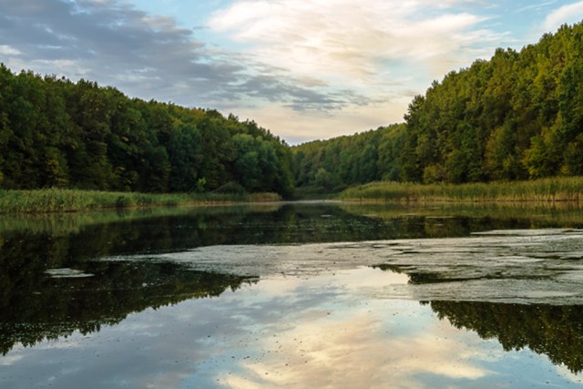
Black Lake (Berestuvate) is located near the highway "Znamyanka - Oleksandrivka", near the village of Bohdanivka. This reservoir is the southernmost sphagnum bog on the territory of Ukraine.
The origin of the lake is connected with the accumulation of warm water in the glacial and post-glacial periods. Its depth has not been fully explored (according to legend, it is bottomless). Different types of algae grow in the lake at different depths, and the debris that settles on them forms a multi-layered bottom, making it difficult to measure the depth.
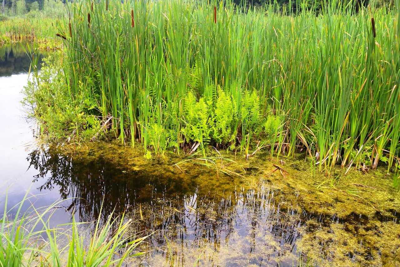
Another feature of Black Lake is floating islands, so-called rafts. They are formed by overgrowing the surface of the water with sphagnum, reeds, ferns and trees. In some places, the distance between the rafts and the lak ...
Black Lake (Berestuvate) is located near the highway "Znamyanka - Oleksandrivka", near the village of Bohdanivka. This reservoir is the southernmost sphagnum bog on the territory of Ukraine.
The origin of the lake is connected with the accumulation of warm water in the glacial and post-glacial periods. Its depth has not been fully explored (according to legend, it is bottomless). Different types of algae grow in the lake at different depths, and the debris that settles on them forms a multi-layered bottom, making it difficult to measure the depth.
Another feature of Black Lake is floating islands, so-called rafts. They are formed by overgrowing the surface of the water with sphagnum, reeds, ferns and trees. In some places, the distance between the rafts and the lake shore reaches 10-15 meters.
In addition, several species of rare orchids and several huge oaks 400-600 years old grow in the vicinity of Black Lake. In April, flowers bloom around the lake, many of which are listed in the Red Book.
Near Lake Berestuvate (towards Znamyanka) you can find excavation sites of Scythian settlements.
Чорне озеро (Берестувате) розташоване неподалік траси "Знам'янка - Олександрівка", біля села Богданівка. Ця водойма є найпівденнішим сфагновим болотом на території України.
Походження озера пов'язане з накопиченням теплої води в льодовиковий та післяльодовиковий періоди. Глибина його остаточно не досліджена (за легендою, воно бездонне). В озері ростуть різні типи водоростей на різних глибинах, і сміття, що осідає на них, утворює багатоярусне дно, що ускладнює вимірювання глибини.
Ще одна особливість Чорного озера – плаваючі острови, так звані сплавини. Вони утворюються шляхом заростання поверхні води сфагнумом, очеретом, папоротею та деревами. У деяких місцях відстань між сплавинами та берегом озера сягає 10-15 метрів.
Крім того в околицях Чорно ...
Чорне озеро (Берестувате) розташоване неподалік траси "Знам'янка - Олександрівка", біля села Богданівка. Ця водойма є найпівденнішим сфагновим болотом на території України.
Походження озера пов'язане з накопиченням теплої води в льодовиковий та післяльодовиковий періоди. Глибина його остаточно не досліджена (за легендою, воно бездонне). В озері ростуть різні типи водоростей на різних глибинах, і сміття, що осідає на них, утворює багатоярусне дно, що ускладнює вимірювання глибини.
Ще одна особливість Чорного озера – плаваючі острови, так звані сплавини. Вони утворюються шляхом заростання поверхні води сфагнумом, очеретом, папоротею та деревами. У деяких місцях відстань між сплавинами та берегом озера сягає 10-15 метрів.
Крім того в околицях Чорного озера росте кілька видів рідкісних орхідей та кілька величезних дубів віком 400-600 років. У квітні навколо озера розквітають квіти, багато з яких занесено до Червоної книги.
Неподалік озера Берестувате (у бік Знам'янки) можна зустріти місця розкопок скіфських поселень.
Practical information about Black Lake (Berestuvate) (Bohdanivka)
Last update
6/4/2025
| Categories | Natural object |
|---|---|
| Address |
Black forest tract
Bohdanivka |
| Coordinates |
48.774095° N, 32.544158° E
|
| Additional services |
Аccessibility information
Have you visited Black Lake (Berestuvate) in Bohdanivka?
Add practical or descriptive information, photos, links
What to see, where to go next?


