Functional temporarily unavailable
Iliv Settlement, Iliv
Natural object
Archaeological site
General information about Iliv Settlement (Iliv)
The Iliv settlement-sanctuary of the 8th–10th centuries is a part of the Historical and Cultural Reserve "Stilsko Settlement".
It is located 5 kilometers to the east of the Stilsko settlement, the ancient capital of the Slavic tribe of White Croats.
The settlement is located on a promontory of the plateau at a height of about 80 meters above the Ilovets River, which washes its foothills partly from the northern and western sides. Traces of two concentric defensive ramparts and ditches are still visible on the high, rocky, forest-covered Tokareva Mountain, which rises above the southern outskirts of the village of Iliv. There is also a rock with three small caves. One of them is a cave-room, ...
The Iliv settlement-sanctuary of the 8th–10th centuries is a part of the Historical and Cultural Reserve "Stilsko Settlement".
It is located 5 kilometers to the east of the Stilsko settlement, the ancient capital of the Slavic tribe of White Croats.
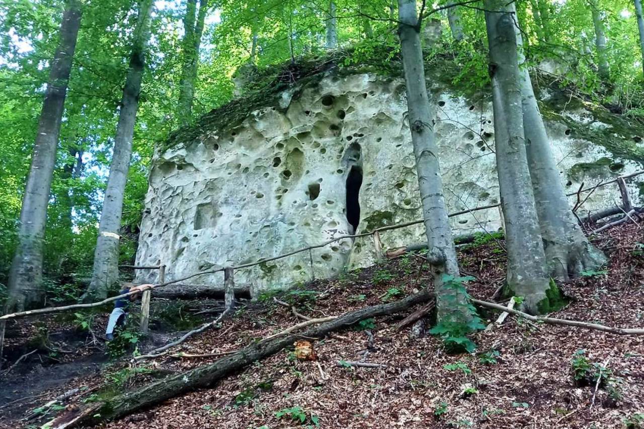
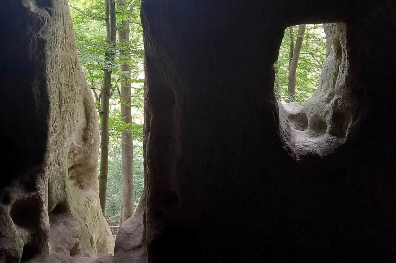
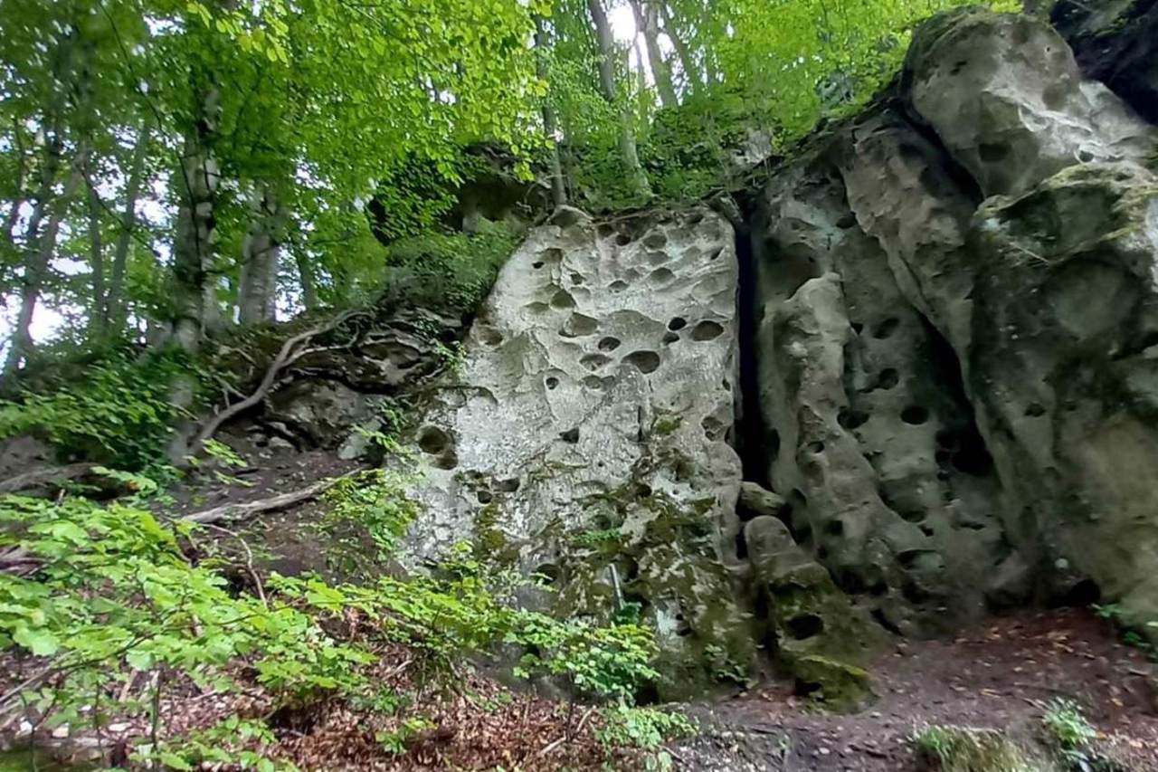
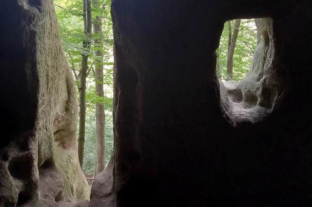
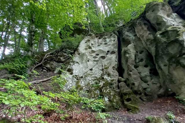
The settlement is located on a promontory of the plateau at a height of about 80 meters above the Ilovets River, which washes its foothills partly from the northern and western sides. Traces of two concentric defensive ramparts and ditches are still visible on the high, rocky, forest-covered Tokareva Mountain, which rises above the southern outskirts of the village of Iliv. There is also a rock with three small caves. One of them is a cave-room, hollowed out of the rock by human hands. The entrance to the cave is made in the form of a woman's womb. Perhaps the goddess Mokosha was once worshiped here.
Presumably, the Iliv settlement was the main sanctuary of the White Croats. Later, monks settled in the caves, and during the Second World War, local residents and UPA soldiers hid here.
A very steep path equipped with a wooden handrail leads to the cave complex.
Ілівське городище-святилище VIII–X століть є частиною Історико-культурного заповідника "Стільське городище".
Розташоване за 5 кілометрів на схід від Стільського городища, давньої столиці слов'янського племені білих хорватів.
Ілівське городище облаштоване на мисоподібному виступі плато на висоті близько 80 метрів над річкою Іловець, котра омиває його підніжжя частково з північного та західного боків. На високій скелястій, покритій лісом Токаревій горі, що височить над південною околицею села Ілів, досі видно сліди двох концентричних оборонних валів і ровів. Тут же розташована скеля із трьома невеликими печерами. Одна з них – це печера-кімната, видовбана у скелі людськими руками. В ...
Ілівське городище-святилище VIII–X століть є частиною Історико-культурного заповідника "Стільське городище".
Розташоване за 5 кілометрів на схід від Стільського городища, давньої столиці слов'янського племені білих хорватів.
Ілівське городище облаштоване на мисоподібному виступі плато на висоті близько 80 метрів над річкою Іловець, котра омиває його підніжжя частково з північного та західного боків. На високій скелястій, покритій лісом Токаревій горі, що височить над південною околицею села Ілів, досі видно сліди двох концентричних оборонних валів і ровів. Тут же розташована скеля із трьома невеликими печерами. Одна з них – це печера-кімната, видовбана у скелі людськими руками. Вхід у печеру зроблено у вигляді жіночого лона. Можливо, тут колись поклонялися богині Мокоші.
Імовірно, Ілівське городище було головним святилищем білих хорватів. Пізніше у печерах оселилися ченці, а під час Другої світової війни у тут переховувалися місцеві жителі та воїни УПА.
До печерного комплексу веде дуже стрімка стежка, облаштована дерев'яним поручнем.
Practical information about Iliv Settlement (Iliv)
Last update
7/15/2025
| Categories | Natural object, Archaeological site |
|---|---|
| Date of foundation | VIII–X centuries |
| Address |
Pechera tract
Iliv |
| Coordinates |
49.51966° N, 24.12987° E
|
| Phone | +380 97 632 1462, +380 50 696 3816, |
| zapovidnyk_stilske-gorodysche@ukr.net | |
| Official site |
https://zapovidnyk-stilske-gor... |
| Additional services |
Аccessibility information
Have you visited Iliv Settlement in Iliv?
Add practical or descriptive information, photos, links
Iliv Settlement (Iliv) in photos and videos
What to see, where to go next?

