Functional temporarily unavailable
Attractions of Ukraine
Attractions region
Attractions Zhytomyr region
Attractions Korosten district
Attractions Slovechne
Slovechansko-Ovrutsky Ridge
Slovechansko-Ovrutsky Ridge, Slovechne
Natural object
General information about Slovechansko-Ovrutsky Ridge (Slovechne)
Slovechansko-Ovrutsky ridge - a height in the north of Zhytomyr region, a remnant of ancient mountain ridges.
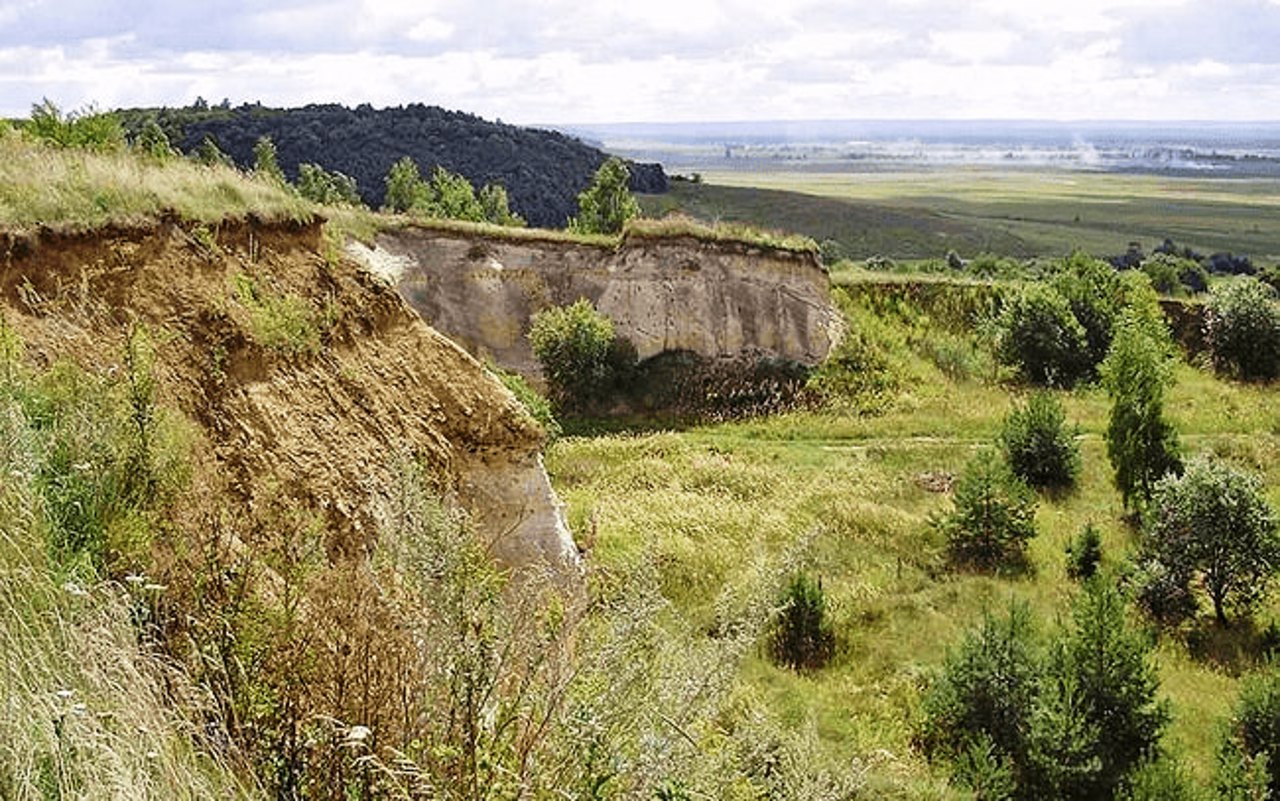
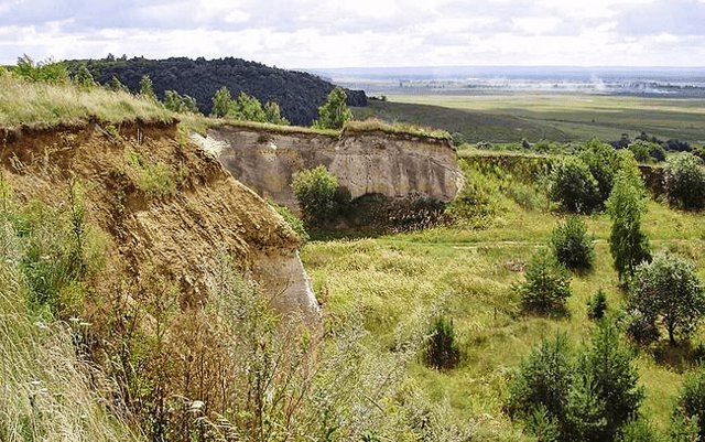
The ridge stretches for almost 60 kilometers from west to east from the village of Chervonka to the town of Ovruch. The width of the ridge is from 5 to 14-20 kilometers. The highest point (316 meters) is located east of the village of Horodets. The southern slopes of the ridge are steep, the northern slopes are gentler. The surface is hilly, dissected by ravines up to 20-25 meters deep.
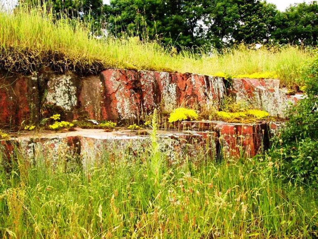
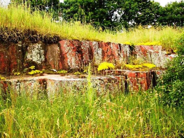
The stone (rare red and pink quartzites and sandstones) quarried here was used in the construction of Saint Sophia Cathedral, Kyiv-Pechersk Lavra, and the Golden Gate in Kyiv.
Many hillforts and barrows were investigated on the territory Slovechansko-Ovrutsky ridge. Among the ve ...
Slovechansko-Ovrutsky ridge - a height in the north of Zhytomyr region, a remnant of ancient mountain ridges.
The ridge stretches for almost 60 kilometers from west to east from the village of Chervonka to the town of Ovruch. The width of the ridge is from 5 to 14-20 kilometers. The highest point (316 meters) is located east of the village of Horodets. The southern slopes of the ridge are steep, the northern slopes are gentler. The surface is hilly, dissected by ravines up to 20-25 meters deep.
The stone (rare red and pink quartzites and sandstones) quarried here was used in the construction of Saint Sophia Cathedral, Kyiv-Pechersk Lavra, and the Golden Gate in Kyiv.
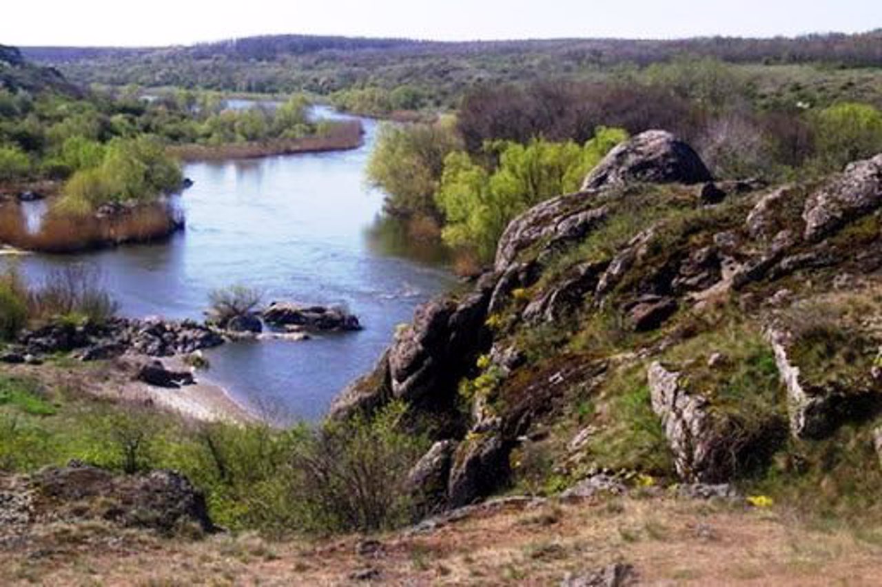
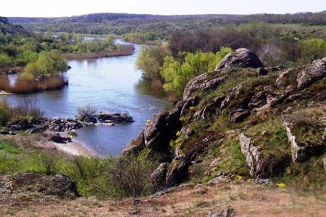
Many hillforts and barrows were investigated on the territory Slovechansko-Ovrutsky ridge. Among the vegetation, there are dark-barked birch, rock oak, evergreen ivy, Karelian birch, Pontic azalea, which is considered endemic. Similar species in Ukraine occur only in the Crimea.
A dirt road runs along the entire ridge, sometimes between very deep ravines. The ravines are incredibly picturesque, the road is mostly gravel.
Словечансько-Овруцький кряж - височина на півночі Житомирської області, залишок давніх гірських гряд.
Кряж простягається майже на 60 кілометрів із заходу на схід від села Червонка до міста Овруч. Ширина кряжу від 5 до 14-20 кілометрів. Найвища точка (316 метрів) розташована на схід від села Городець. Південні схили кряжа круті, північні - більш пологі. Поверхня горбиста, розчленована ярами глибиною до 20-25 метрів.
Камінь (рідкісні червоні та рожеві кварцити та пісковики), що видобувається тут, застосовувався при будівництві Софійського собору, Києво-Печерської лаври та Золотих воріт у Києві.
На території Словечансько-Овруцький кряжа досліджено безліч городищ та курганів. З рослинності зустрічаються береза темнокора, дуб скельний, плющ вічнозелений, береза карельсь ...
Словечансько-Овруцький кряж - височина на півночі Житомирської області, залишок давніх гірських гряд.
Кряж простягається майже на 60 кілометрів із заходу на схід від села Червонка до міста Овруч. Ширина кряжу від 5 до 14-20 кілометрів. Найвища точка (316 метрів) розташована на схід від села Городець. Південні схили кряжа круті, північні - більш пологі. Поверхня горбиста, розчленована ярами глибиною до 20-25 метрів.
Камінь (рідкісні червоні та рожеві кварцити та пісковики), що видобувається тут, застосовувався при будівництві Софійського собору, Києво-Печерської лаври та Золотих воріт у Києві.
На території Словечансько-Овруцький кряжа досліджено безліч городищ та курганів. З рослинності зустрічаються береза темнокора, дуб скельний, плющ вічнозелений, береза карельська, азалія понтійська, що вважається ендеміком. Подібні види в Україні трапляються лише в Криму.
Уздовж усього кряжа проходить ґрунтова дорога, часом між дуже глибокими ярами. Яри неймовірно мальовничі, дорога здебільшого гравійна.
Practical information about Slovechansko-Ovrutsky Ridge (Slovechne)
Last update
7/16/2025
| Categories | Natural object |
|---|---|
| Address |
tracts Smorodyna, Horodyshche and others
Slovechne |
| Coordinates |
51.34416667° N, 28.22972222° E
|
| Additional services |
Аccessibility information
Have you visited Slovechansko-Ovrutsky Ridge in Slovechne?
Add practical or descriptive information, photos, links
What to see, where to go next?

