Functional temporarily unavailable
Liubyaz Lake, Liubyaz
Natural object
Rest on the water
Recreation area
General information about Liubyaz Lake (Liubyaz)
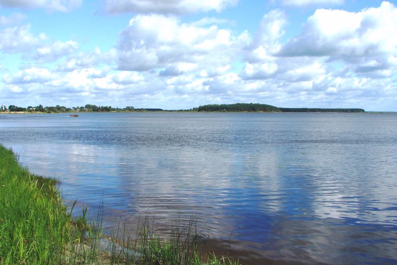
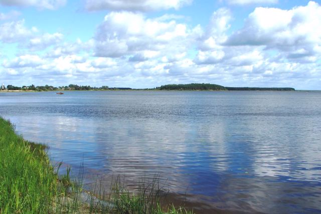
The floodplain lake Liubyaz is located near the village of Liubyaz.
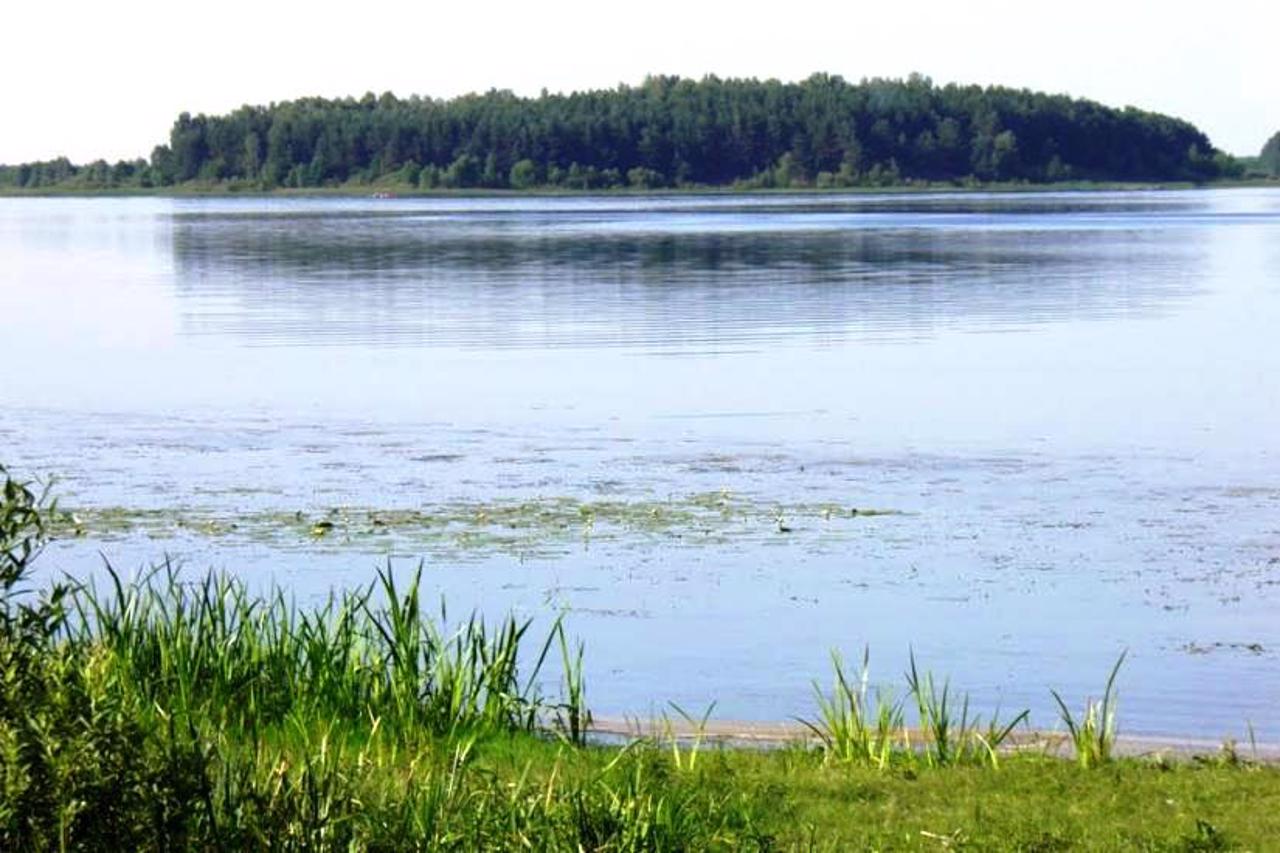
The length of the lake is 3.8 kilometers, the width is 2.5 kilometers, the area is 5.19 square kilometers, the average depth is 2.1 meters, the largest is 3.8 meters. The hydrological regime depends mainly on the Pripyat River, which flows through the northern part of the lake. The Korostyanka River flows into Lake Liubyaz from the southwest.
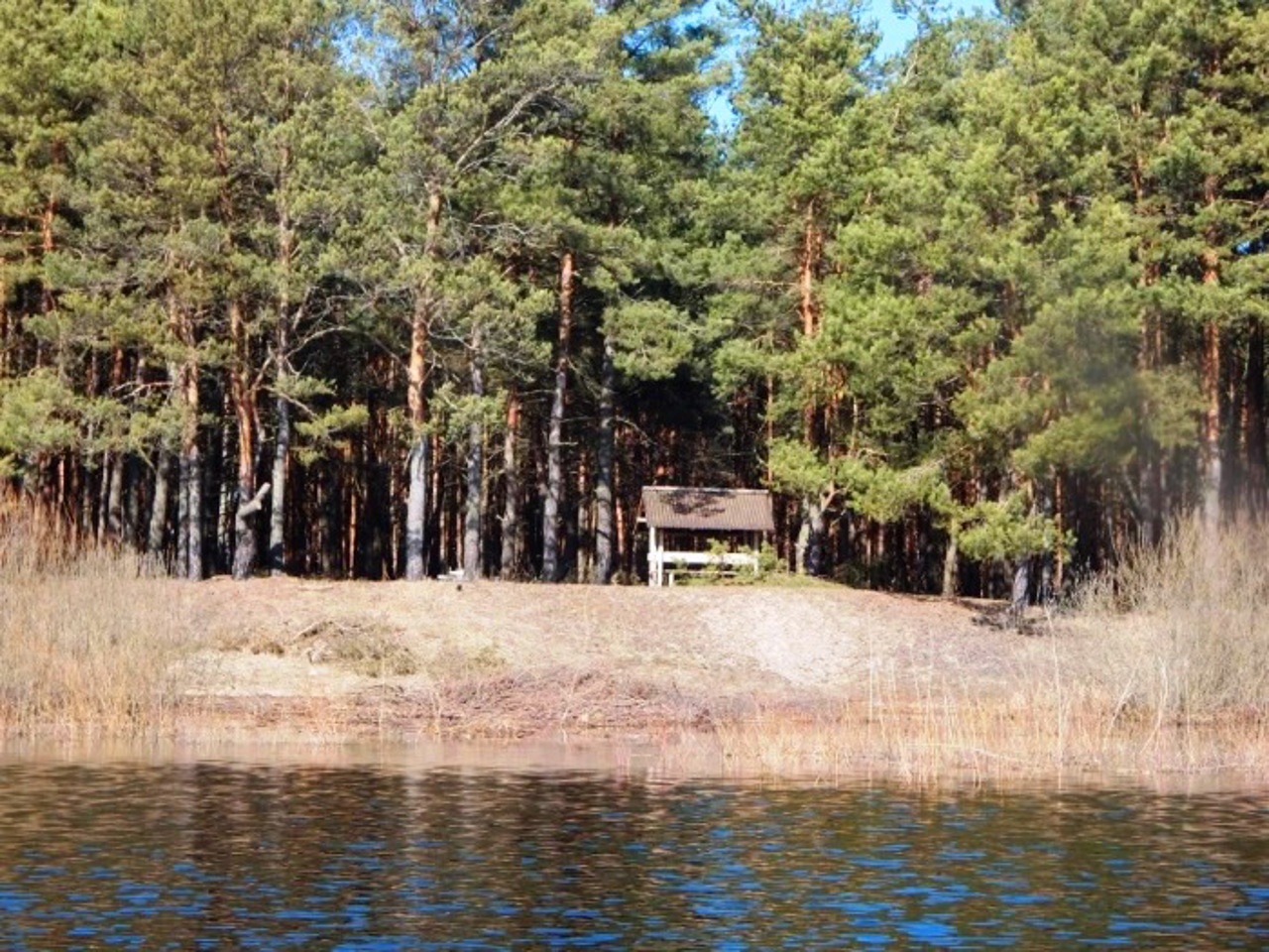
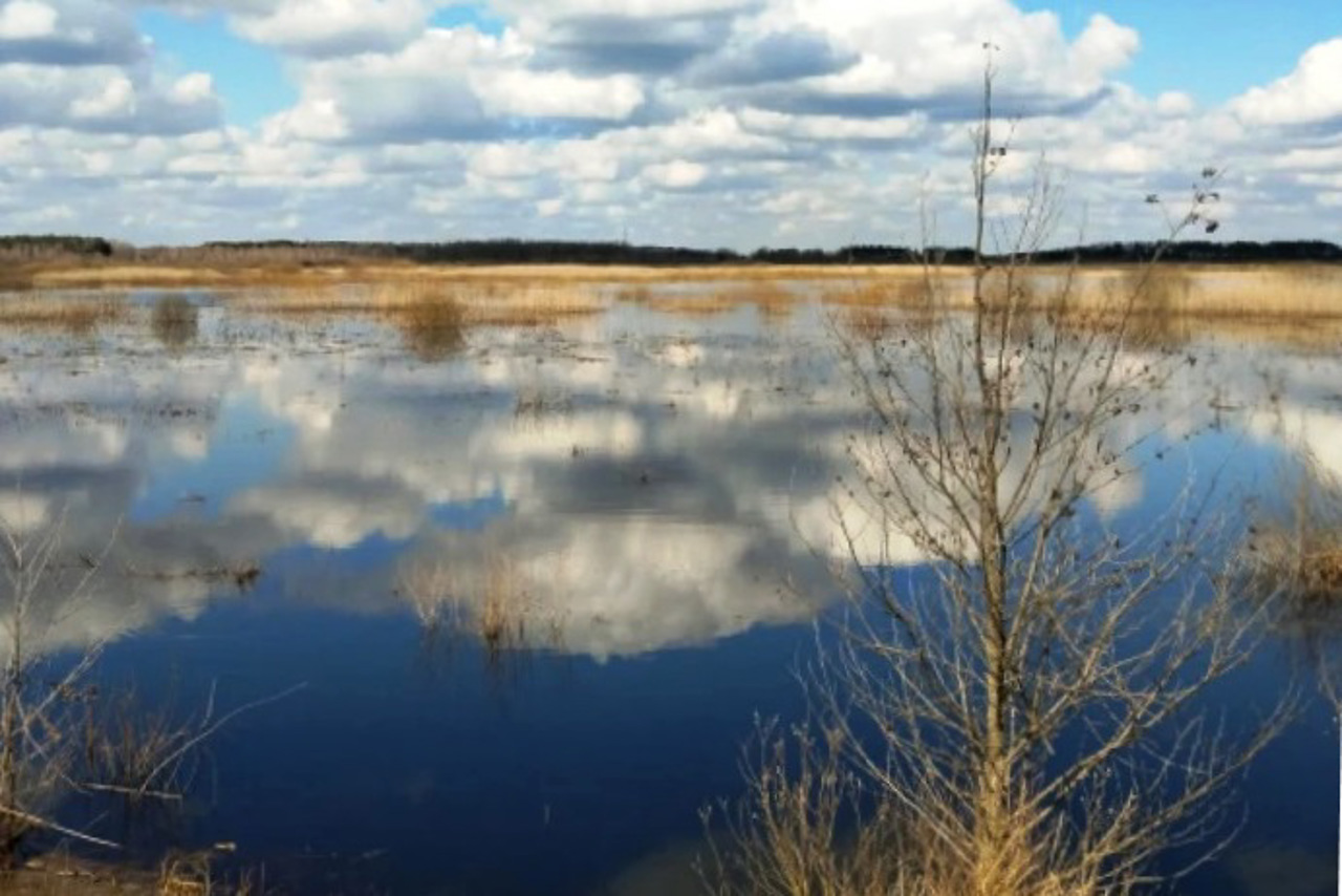
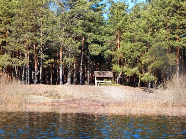
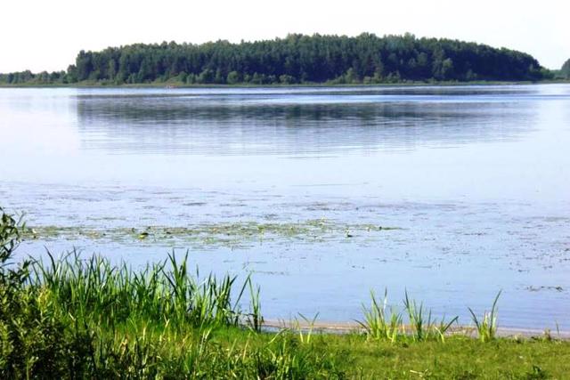
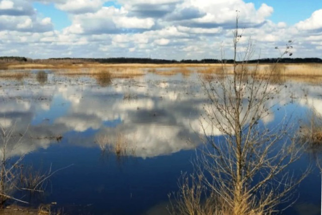
The banks are low, sometimes swampy. The shores are overgrown with reeds, there are sandy and clay beaches suitable for swimming. The lake is shallow, so it warms up well in the summer, there is minimal infrastructure for recreation, and it is popular among fishermen.
Заплавне озеро Люб'язь знаходиться біля села Люб'язь.
Довжина озера 3,8 кілометри, ширина 2,5 кілометри, площа 5,19 квадратних кілометрів, пересічна глибина 2,1 метри, найбільша - 3,8 метри. Гідрологічний режим залежить переважно від річки Прип'ять, яка тече через північну частину озера. В озеро Люб’язь з південного заходу впадає річка Коростянка.
Береги низькі, деколи заболочені. Береги заросли очеретом, є піщано-глиняні пляжі зручні для купання. Озеро мілке, тому літом добре прогрівається, є мінімальна інфраструктура для відпочинку популярне серед рибалок.
Practical information about Liubyaz Lake (Liubyaz)
Last update
7/19/2025
| Categories | Natural object, Rest on the water, Recreation area |
|---|---|
| Address |
Liubyaz |
| Coordinates |
51.83727° N, 25.491331° E
|
| Additional services |
Аccessibility information
Have you visited Liubyaz Lake in Liubyaz?
Add practical or descriptive information, photos, links
Liubyaz Lake (Liubyaz) in photos and videos
What to see, where to go next?

