Functional temporarily unavailable
Cape Sarych, Sevastopol
Natural object
General information about Cape Sarych (Sevastopol)
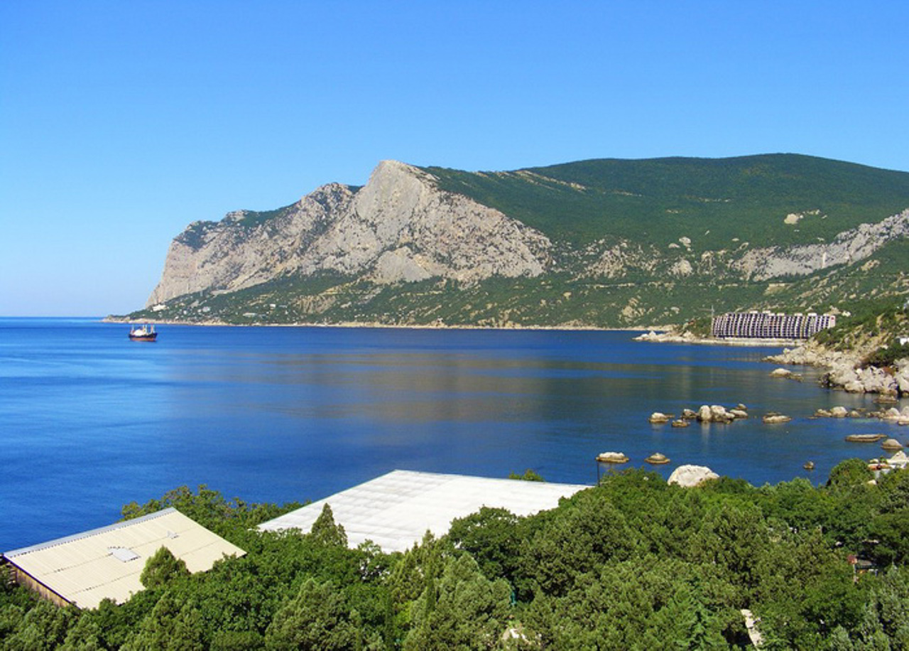
Cape Sarych is the southernmost point of Ukraine and Crimea. It is located 5 kilometers west of Foros.
It is formed by a humped slope of the spur of the Baydarska Yayla, which descends in the south and is covered with sparse forests.
A navigation lighthouse was built on the edge of the cape in 1898. It is developing as an independent resort village.
Мис Сарич є найбільш південною точкою України та Криму. Розташований в 5 кілометрах на захід від Фороса.
Утворений горбатим схилом відрогу Байдарської яйли, що знижується в південному напрямку та покритий рідколіссям.
На краю мису у 1898 році був побудований навігаційний маяк. Розвивається як самостійне курортне селище.
Practical information about Cape Sarych (Sevastopol)
Last update
12/9/2024
| Categories | Natural object |
|---|---|
| Address |
Sevastopol |
| Coordinates |
44.387602° N, 33.738434° E
|
| Phone | , |
| Additional services |
Аccessibility information
Have you visited Cape Sarych in Sevastopol?
Add practical or descriptive information, photos, links
What to see, where to go next?


