Functional temporarily unavailable
Wave Bridge, Kyiv
Architecture
Recreation area
General information about Wave Bridge (Kyiv)
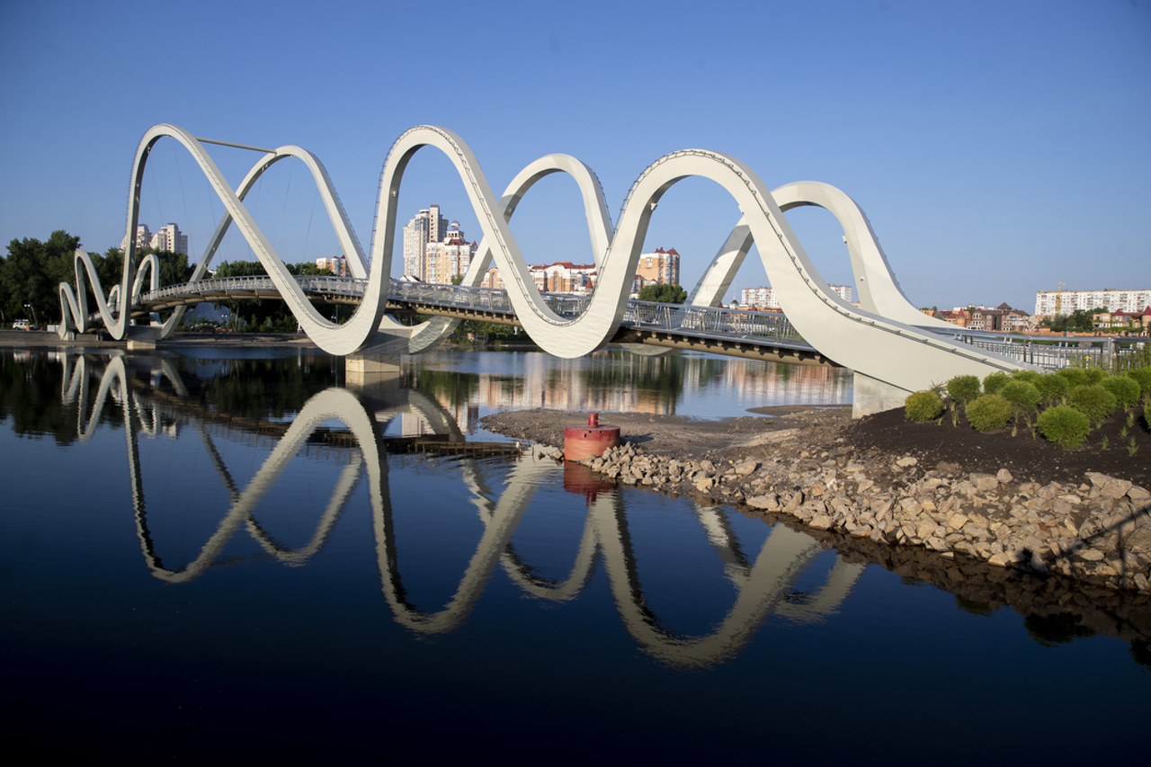
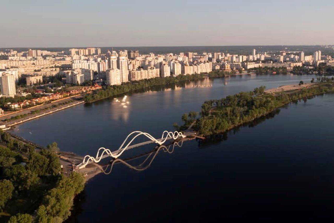
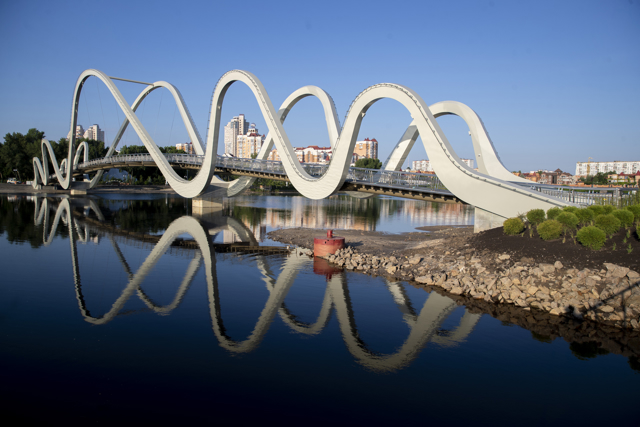
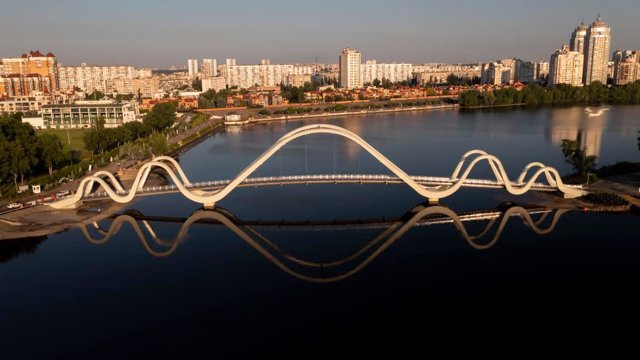
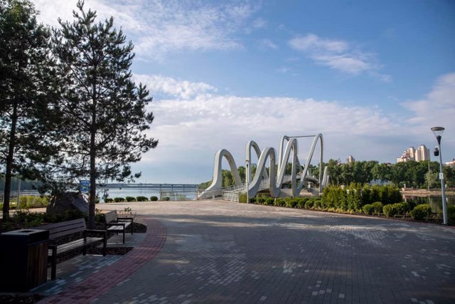
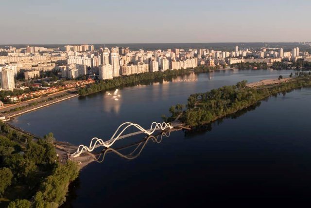
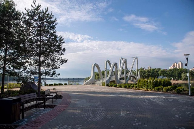
The pedestrian bridge from Natalka Park to Obolonskyi Island in Kyiv is also known as the "Wave Bridge" due to the characteristic shape of the supports, which resembles five waves. According to the idea of the architect Andriy Myrhorodskyi, the waves symbolize the dynamics and movement of the Dnipro River - the main water artery of the capital.
The wave bridge was built between 2021 and 2024 at the expense of patrons, including the Metropolis of Greater Paris and the government of Taiwan. About 300 tons of metal for the bridge were manufactured at the Azovstal plant on the eve of a full-scale Russian invasion.
The length of the bridge is 176 meters, the width of the new bridge is 3.5 meters. It is designed taking into account accessibility for the movement of peo ...
The pedestrian bridge from Natalka Park to Obolonskyi Island in Kyiv is also known as the "Wave Bridge" due to the characteristic shape of the supports, which resembles five waves. According to the idea of the architect Andriy Myrhorodskyi, the waves symbolize the dynamics and movement of the Dnipro River - the main water artery of the capital.
The wave bridge was built between 2021 and 2024 at the expense of patrons, including the Metropolis of Greater Paris and the government of Taiwan. About 300 tons of metal for the bridge were manufactured at the Azovstal plant on the eve of a full-scale Russian invasion.
The length of the bridge is 176 meters, the width of the new bridge is 3.5 meters. It is designed taking into account accessibility for the movement of people with limited mobility and does not interfere with the passage of small vessels to Obolon Bay.
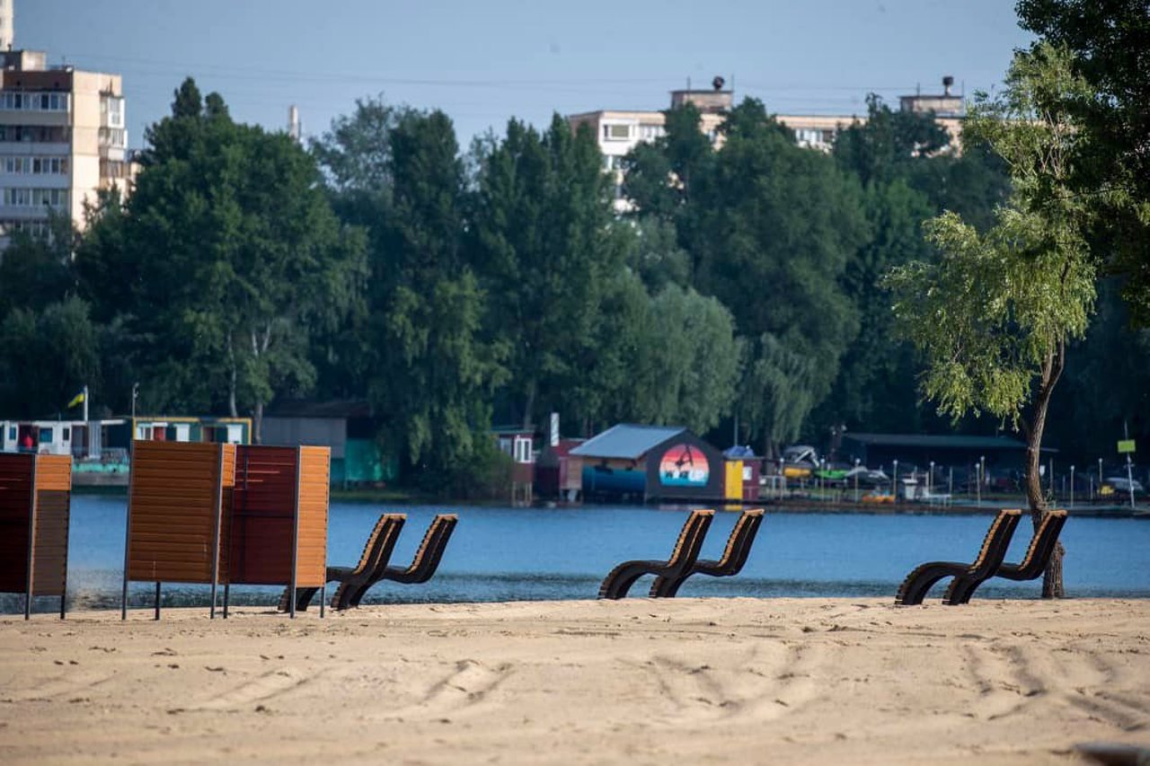
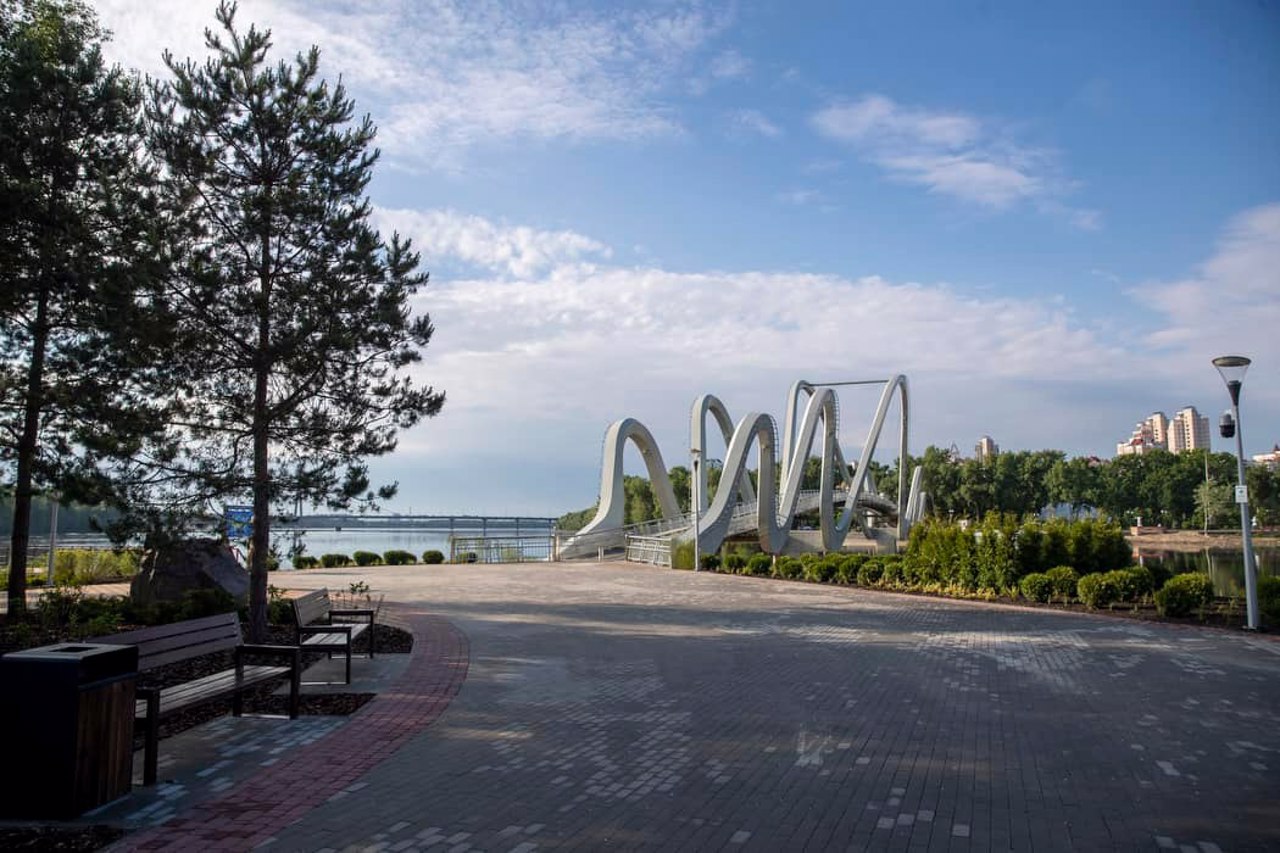
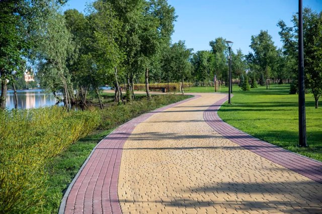
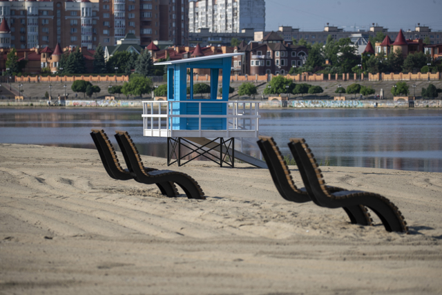
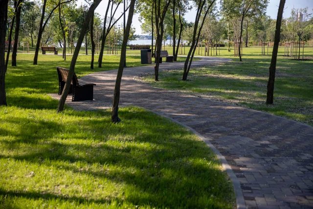
Together with the construction of the bridge, the recreation area "Obolonskyi Island" was arranged. Pedestrian and bicycle paths were laid here, benches were installed, children's playgrounds were arranged, and public toilets were opened. New trees and bushes were planted on the island, including decorative apple trees, pink acacia and lilac.
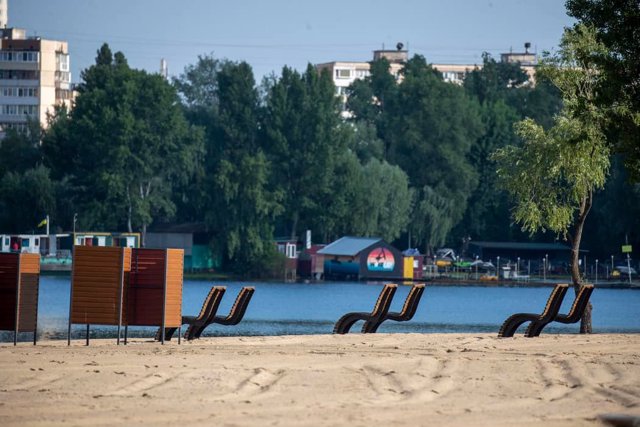
The island has an equipped beach with changing rooms, coffee and ice cream outlets.
Пішохідний міст із парку "Наталка" на Оболонський острів у Києві також відомий як "Міст-хвиля" завдяки характерній формі опор, що нагадує п'ять хвиль. Згідно із задумом архітектора Андрія Миргородського, хвилі символізують динаміку та рух річки Дніпро – головної водної артерії столиці.
Міст-хвиля збудований у 2021-2024 роках коштом меценатів, серед яких Метрополія Великого Парижа та уряд Тайваню. Близько 300 тон металу для мосту було виготовлено на комбінаті "Азовсталь" напередодні повномасштабного вторгнення росії.
Довжина мосту становить 176 метрів, ширина – 3,5 метри. Він спроєктований з урахуванням доступності для пересування маломобільних людей і не заважає проходу маломірних суден до затоки Оболонь.
Разом із будівницт ...
Пішохідний міст із парку "Наталка" на Оболонський острів у Києві також відомий як "Міст-хвиля" завдяки характерній формі опор, що нагадує п'ять хвиль. Згідно із задумом архітектора Андрія Миргородського, хвилі символізують динаміку та рух річки Дніпро – головної водної артерії столиці.
Міст-хвиля збудований у 2021-2024 роках коштом меценатів, серед яких Метрополія Великого Парижа та уряд Тайваню. Близько 300 тон металу для мосту було виготовлено на комбінаті "Азовсталь" напередодні повномасштабного вторгнення росії.
Довжина мосту становить 176 метрів, ширина – 3,5 метри. Він спроєктований з урахуванням доступності для пересування маломобільних людей і не заважає проходу маломірних суден до затоки Оболонь.
Разом із будівництвом мосту було проведено облаштування рекреаційної зони "Острів Оболонський". тут проклали пішохідні та велосипедні доріжки, встановили лави, облаштували дитячі майданчики, відкрили громадські вбиральні. На острові висадили нові дерева та кущі, серед яких декоративні яблуні, рожева акація та бузок.
На острові є облаштований пляж із роздягальнями, працюють точки продажу кави та морозива.
Practical information about Wave Bridge (Kyiv)
Last update
8/8/2025
| Categories | Architecture, Recreation area |
|---|---|
| Date of foundation | 2024 |
| Address |
Obolonska Embankment, 10D
Kyiv |
| Coordinates |
50.50187° N, 30.52211° E
|
| Phone | , |
| Additional services |
Аccessibility information
Have you visited Wave Bridge in Kyiv?
Add practical or descriptive information, photos, links
What to see, where to go next?

