Functional temporarily unavailable
Arabat Spit, Henichesk
Natural object
Rest on the water
Beach
General information about Arabat Spit (Henichesk)
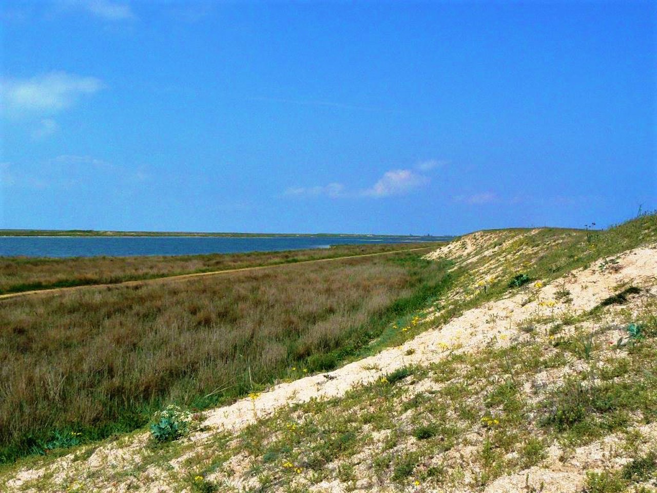
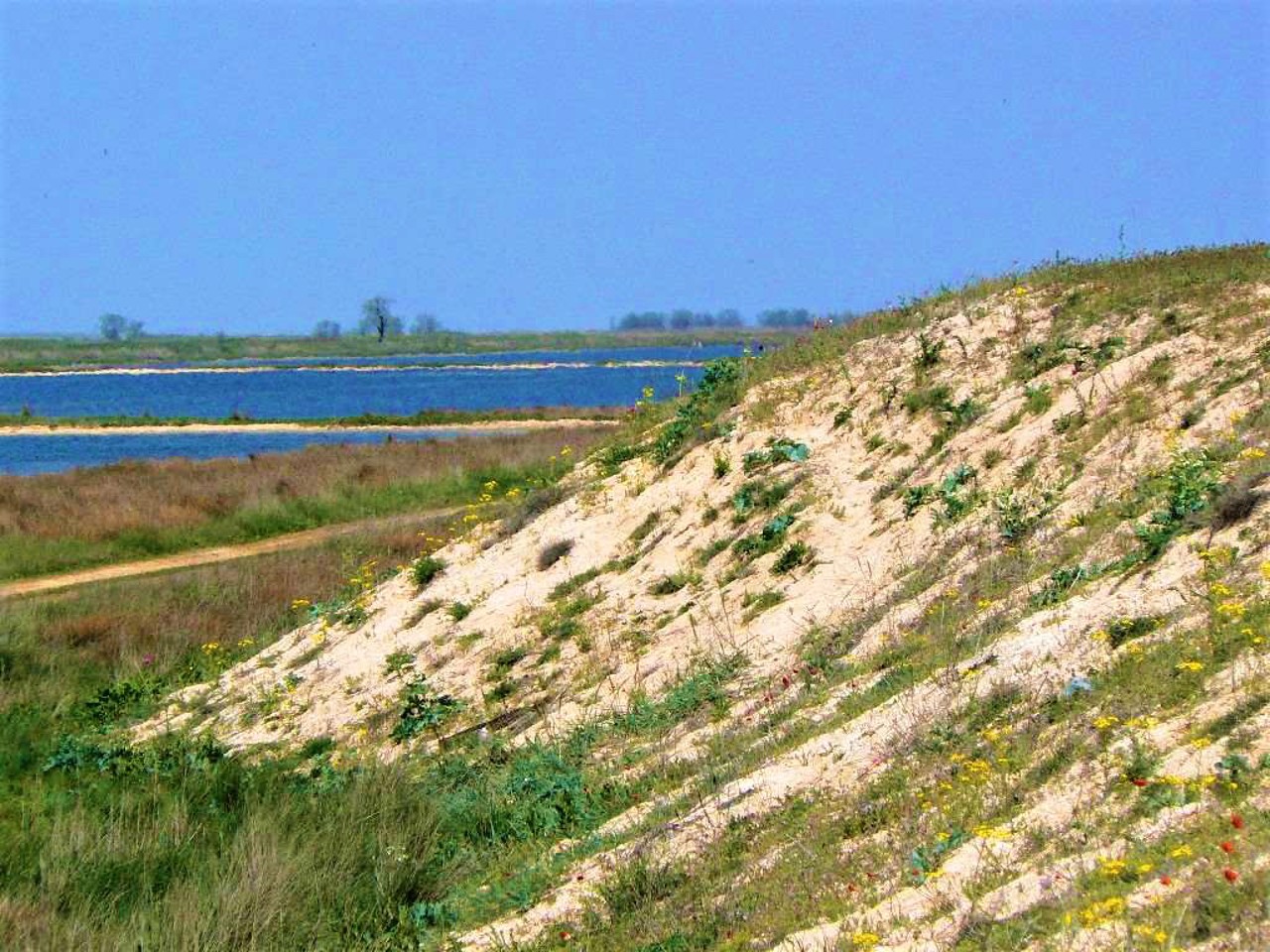
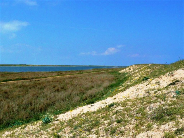
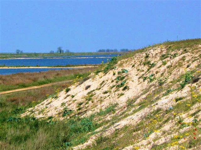
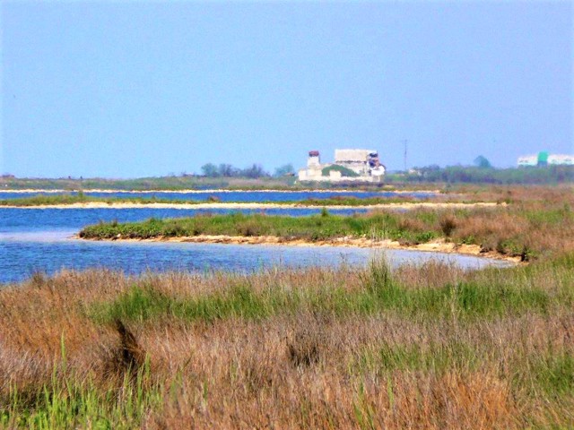
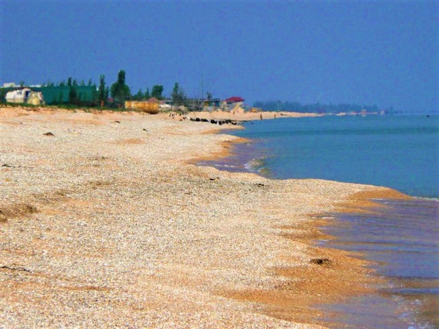
Arabat Spit (or Arabat Arrow) is the largest sand spit in Ukraine, which separates the Black Sea Bay of Sivash from the Sea of Azov.
It was formed as a result of sand washing 850 years ago. Length - about 115 kilometers, width - from 270 meters to 8 kilometers. On the continental side, it starts from the port city of Henichesk, near the base on the Crimean side - the ruins of the Turkish Arabat fortress (1651), taken by Russian troops in 1771.
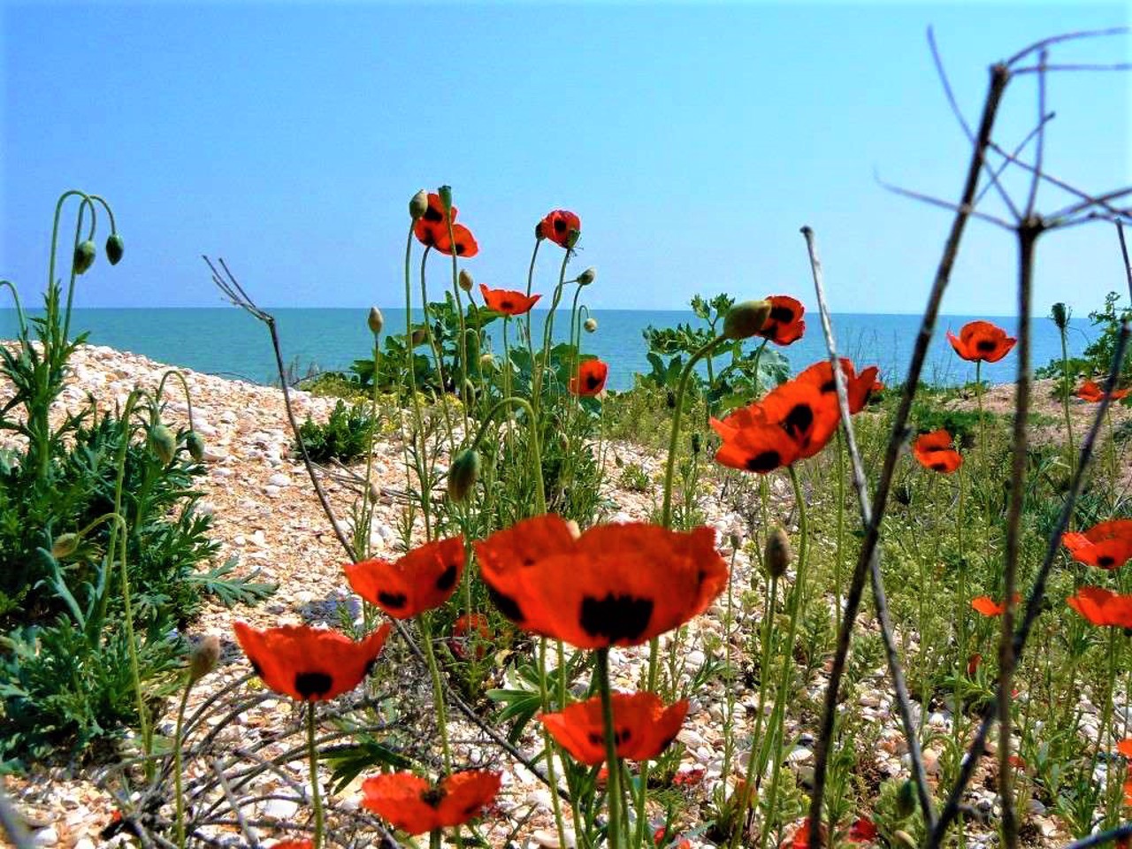
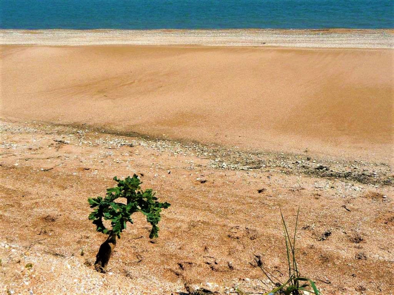
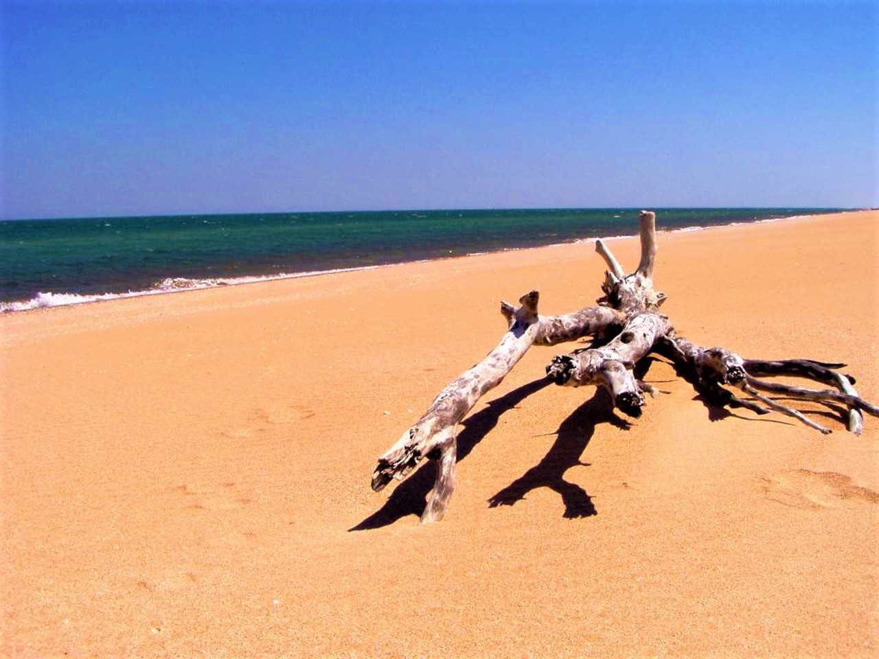
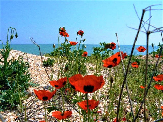
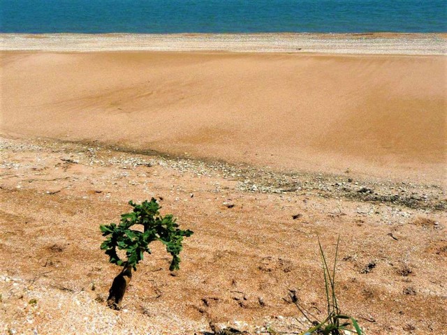
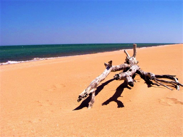
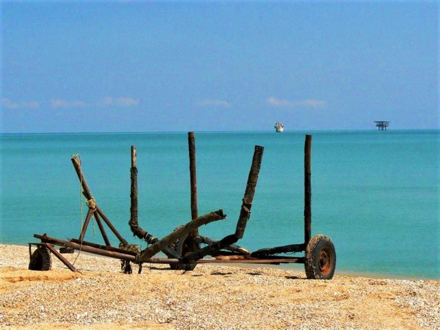
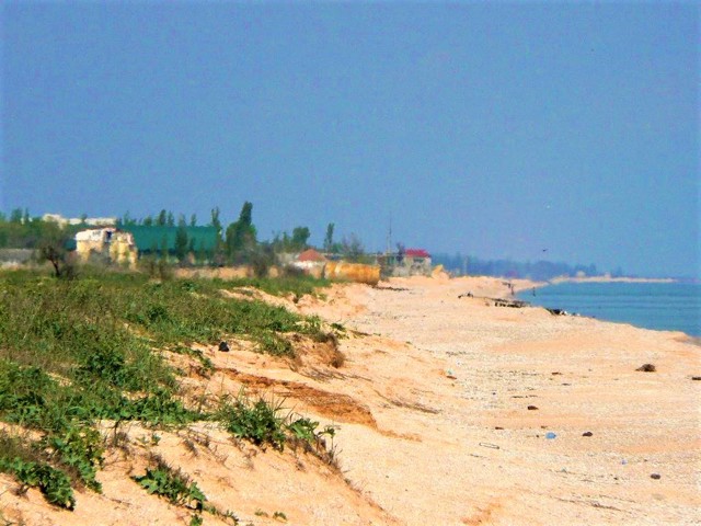
Arabat Spit is a popular and inexpensive resort area, with about 100 health resorts. The entire eastern part of the spit is a continuous sandy beach, the western part is the Sivash Bay with unique healing mud and salts.
In the area of the village of Shchaslyvtseve there is a thermal spring of healing mineral water.
The conc ...
Arabat Spit (or Arabat Arrow) is the largest sand spit in Ukraine, which separates the Black Sea Bay of Sivash from the Sea of Azov.
It was formed as a result of sand washing 850 years ago. Length - about 115 kilometers, width - from 270 meters to 8 kilometers. On the continental side, it starts from the port city of Henichesk, near the base on the Crimean side - the ruins of the Turkish Arabat fortress (1651), taken by Russian troops in 1771.
Arabat Spit is a popular and inexpensive resort area, with about 100 health resorts. The entire eastern part of the spit is a continuous sandy beach, the western part is the Sivash Bay with unique healing mud and salts.
In the area of the village of Shchaslyvtseve there is a thermal spring of healing mineral water.
The concrete highway from Henichesk only reaches the village of Strilkove, further traffic on the dirt road, nicknamed the "washing board", is very difficult.
Арабатська Стрілка - найбільша в Україні піщана коса, яка відокремлює чорноморську затоку Сиваш від Азовського моря.
Утворилася внаслідок намивання піску 850 років тому. Довжина - близько 115 кілометрів, ширина - від 270 метрів до 8 кілометрів. З континентального боку Арабатська Стрілка починається від портового міста Генічеськ, біля основи з боку Криму - руїни турецької Арабатської фортеці (1651 рік), взятої російськими військами в 1771 році.
Коса Арабатська Стрілка є популярною та недорогою курортною зоною, функціонує близько 100 здравниць. Вся східна частина коси являє собою суцільний піщаний пляж, західна - затока Сиваш з унікальними цілющими грязями та солями.
В районі села Щасливцеве є термальне джерело лікувальної мінеральної води.
Бетонна автодорога ...
Арабатська Стрілка - найбільша в Україні піщана коса, яка відокремлює чорноморську затоку Сиваш від Азовського моря.
Утворилася внаслідок намивання піску 850 років тому. Довжина - близько 115 кілометрів, ширина - від 270 метрів до 8 кілометрів. З континентального боку Арабатська Стрілка починається від портового міста Генічеськ, біля основи з боку Криму - руїни турецької Арабатської фортеці (1651 рік), взятої російськими військами в 1771 році.
Коса Арабатська Стрілка є популярною та недорогою курортною зоною, функціонує близько 100 здравниць. Вся східна частина коси являє собою суцільний піщаний пляж, західна - затока Сиваш з унікальними цілющими грязями та солями.
В районі села Щасливцеве є термальне джерело лікувальної мінеральної води.
Бетонна автодорога з боку Генічеська доходить лише до села Стрілкове, подальший автомобільний рух ґрунтовою дорогою, прозваною "пральною дошкою", дуже ускладнений.
Practical information about Arabat Spit (Henichesk)
Last update
2/25/2025
| Categories | Natural object, Rest on the water, Beach |
|---|---|
| Address |
Henichesk |
| Coordinates |
46.1626° N, 34.8° E
|
| Official site |
http://arabatka.org.ua/ |
| Additional services |
Аccessibility information
Have you visited Arabat Spit in Henichesk?
Add practical or descriptive information, photos, links
What to see, where to go next?

