Functional temporarily unavailable
Attractions of Ukraine
Attractions region
Attractions Vinnytsia region
Attractions Vinnytsia district
Attractions Berezivka
Nemyrivske Hillfort (Scythian Ramparts)
Nemyrivske Hillfort (Scythian Ramparts), Berezivka
Historic area
Archaeological site
General information about Nemyrivske Hillfort (Scythian Ramparts) (Berezivka)
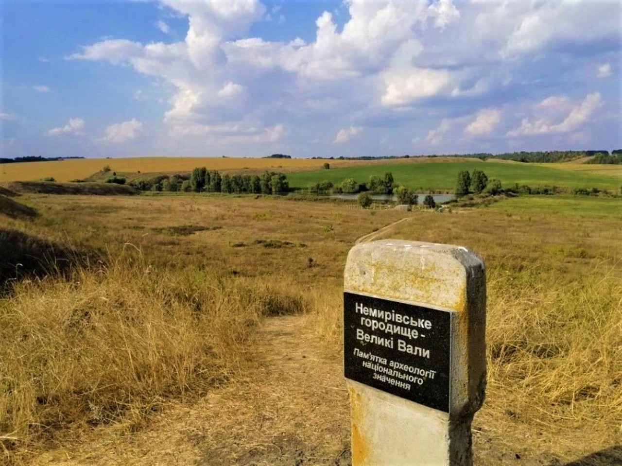
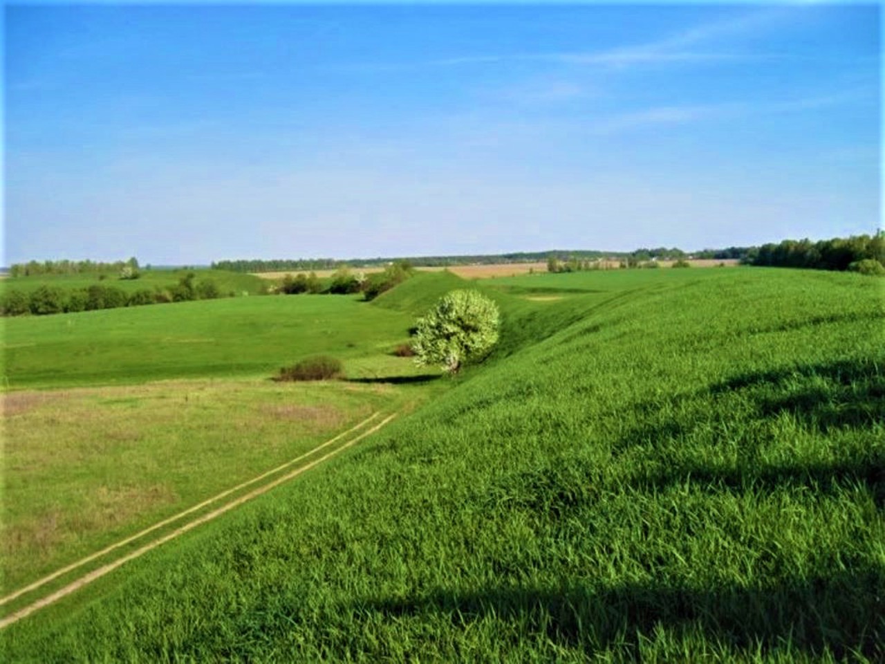
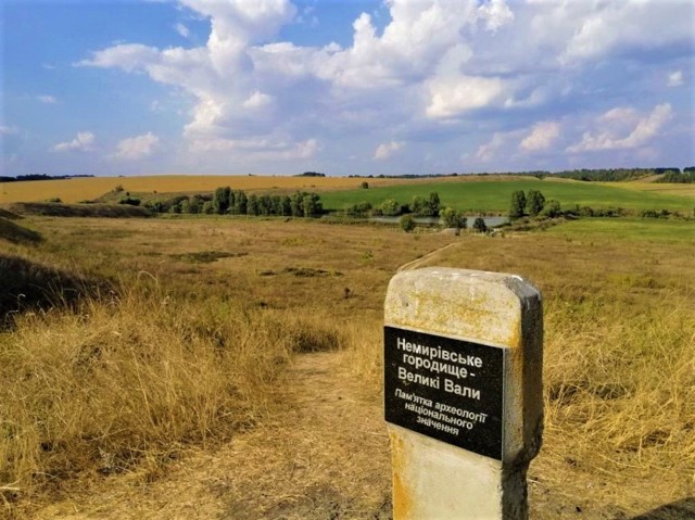
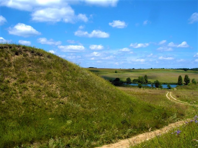
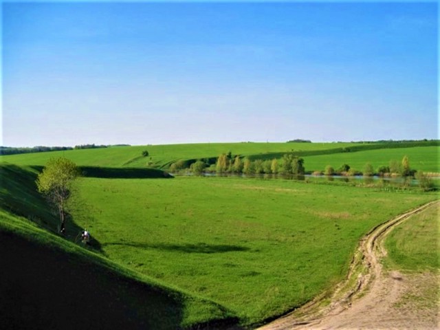
The well-preserved large early Scythian Nemyrivske Hillfort "Big Ramparts" (or "Scythian Ramparts") of the VII-VI centuries BC is located on both banks of the Ustya River, 5 kilometers southeast of Nemyriv.
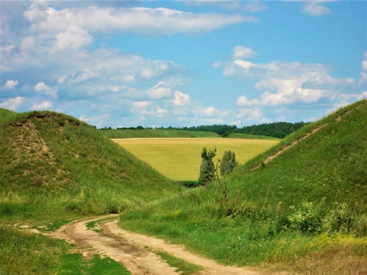
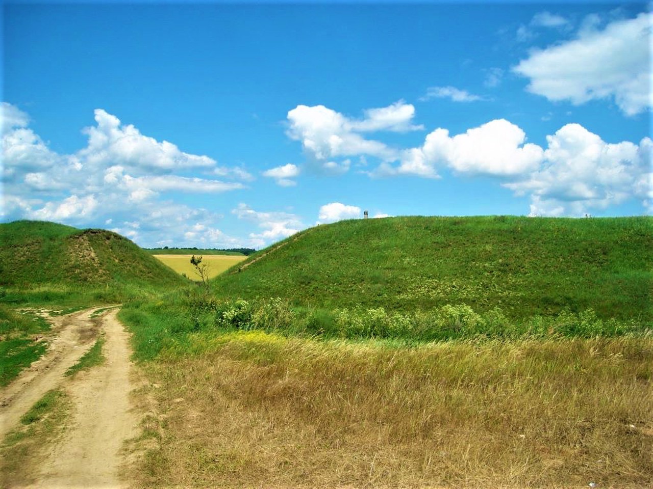
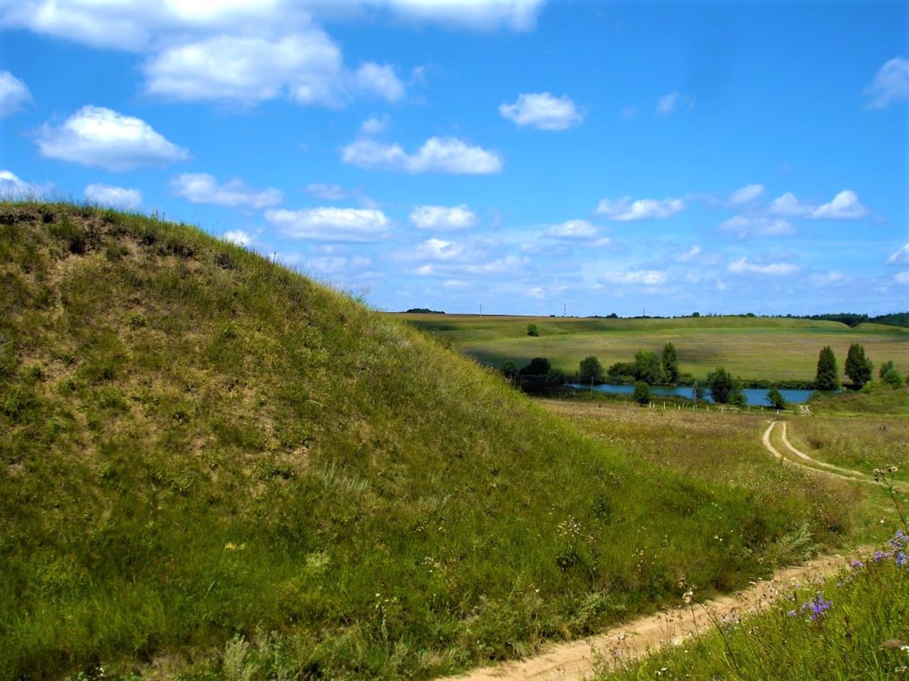
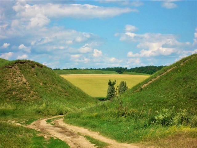
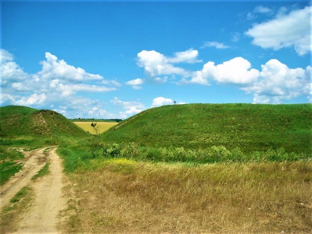
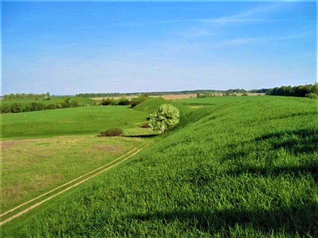
The area of the Nemyrivske Hillfort is about 150 hectares. It is surrounded by an earthen rampart 5.5 kilometers long, up to 9 meters high, with a deep moat. The castle is located in the northern part. On the territory of the "Scythian ramparts" the remains of a dug-out dwelling were discovered.
In the 10th-11th centuries, there was an ancient Rus settlement of Myriv at this place. According to legends, Myriv was completely destroyed during the Tatar invasion, and the inhabitants who remained alive moved the settlement to the place of the pre ...
The well-preserved large early Scythian Nemyrivske Hillfort "Big Ramparts" (or "Scythian Ramparts") of the VII-VI centuries BC is located on both banks of the Ustya River, 5 kilometers southeast of Nemyriv.
The area of the Nemyrivske Hillfort is about 150 hectares. It is surrounded by an earthen rampart 5.5 kilometers long, up to 9 meters high, with a deep moat. The castle is located in the northern part. On the territory of the "Scythian ramparts" the remains of a dug-out dwelling were discovered.
In the 10th-11th centuries, there was an ancient Rus settlement of Myriv at this place. According to legends, Myriv was completely destroyed during the Tatar invasion, and the inhabitants who remained alive moved the settlement to the place of the present Nemyriv.
Добре збережене велике ранньоскіфське Немирівське городище "Великі вали" (або "Скіфські вали") VII-VI сторічь до нашої ери знаходиться на обох берегах на річки Устя за 5 кілометрів на південний схід від Немирова.
Площа Немирівського городища становить близько 150 гектарів. Оточене земляним валом завдовжки 5,5 кілометрів, висотою до 9 метрів, з глибоким ровом. У північній частині розташоване замчище. На території "Скіфських валів" виявлено залишки поглибленого житла.
В Х-ХІ століттях на цьому місці існувало давньоруське поселення Мирів. За переказами, Мирів був повністю знищений під час татарської навали, а мешканці, що залишилися живими, перенесли поселення на місце нинішнього Немирова.
Practical information about Nemyrivske Hillfort (Scythian Ramparts) (Berezivka)
Last update
2/25/2025
| Categories | Historic area, Archaeological site |
|---|---|
| Date of foundation | VII-VI centuries BC |
| Address |
Berezivka |
| Coordinates |
48.942863° N, 28.887622° E
|
| Additional services |
Аccessibility information
Have you visited Nemyrivske Hillfort (Scythian Ramparts) in Berezivka?
Add practical or descriptive information, photos, links
What to see, where to go next?

