Functional temporarily unavailable
Kinburn Spit, Pokrovka
Natural object
Reserve
General information about Kinburn Spit (Pokrovka)
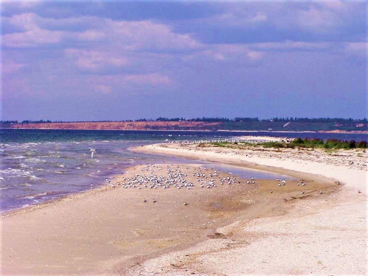
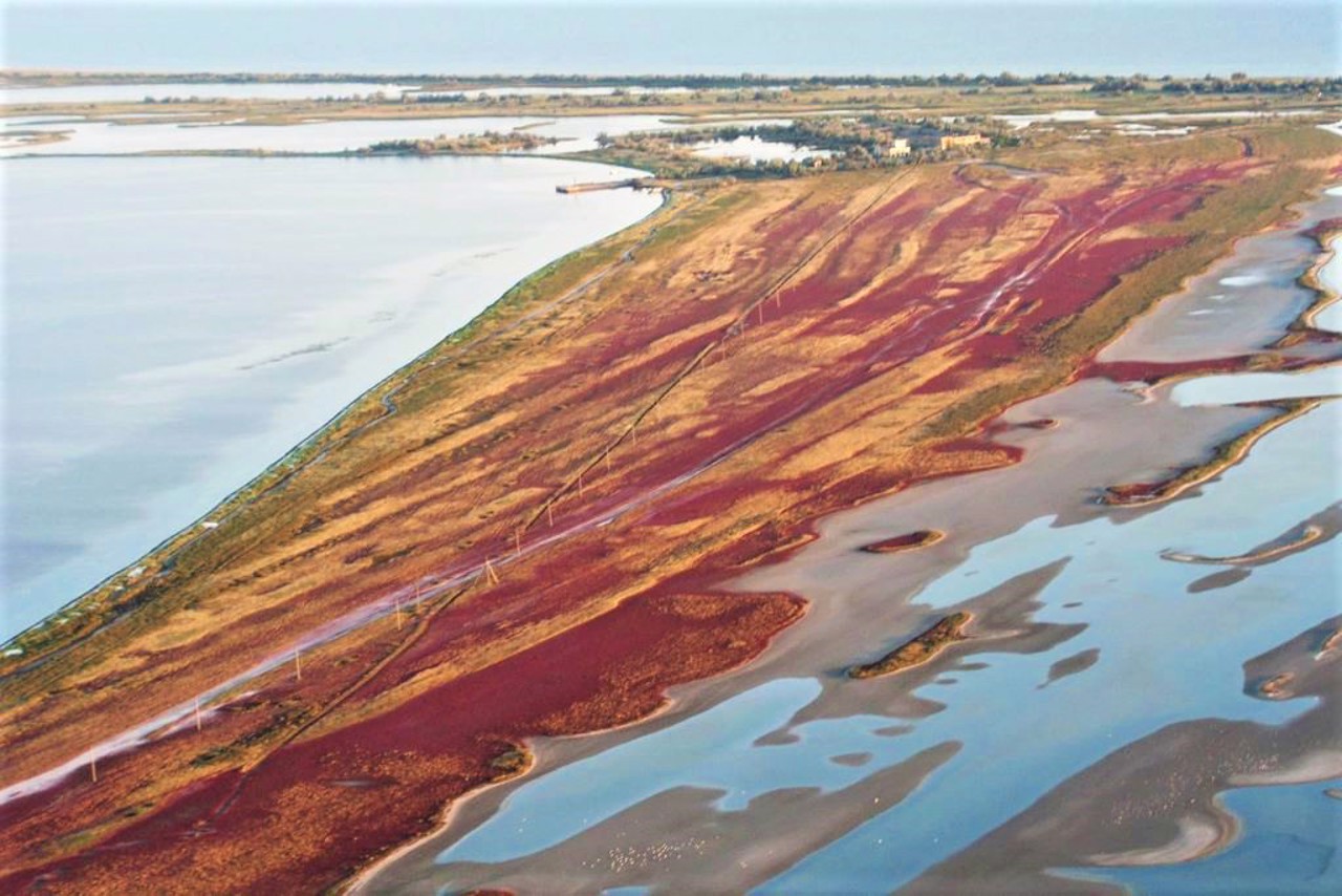
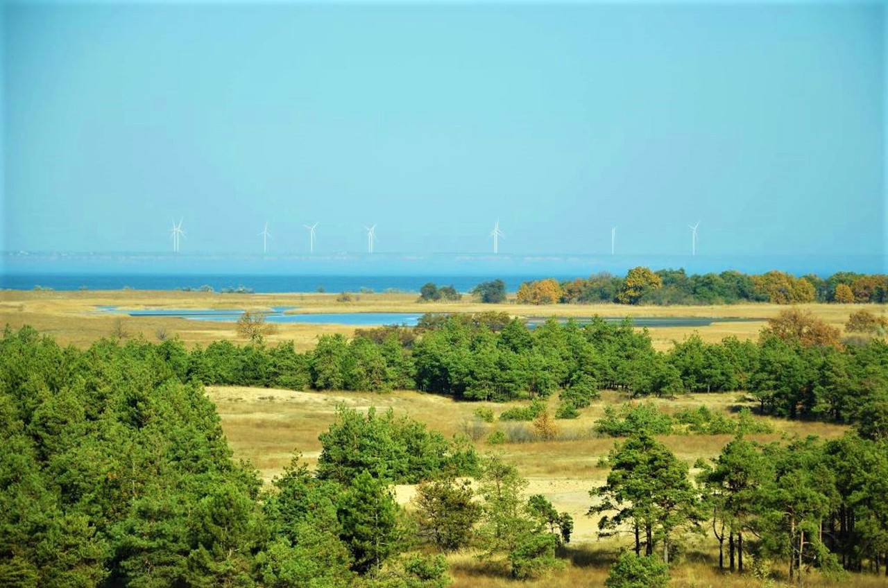
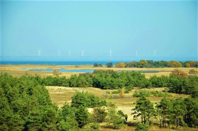
The Kinburn Spit is the western edge of the Kinburn Peninsula, which separates the Dnipro estuary from the Black Sea. The length of the spit is about 40 kilometers, the width is 8-10 kilometers.
Described by Herodotus as Hileya (forested land), later the route "from the Varangians to the Greeks" passed here. Many myths and legends are associated with the Kinburn spit: about the temple of Demeter, about the sacred grove of Hecate, about Scythian gold and about athletic games in honor of Achilles' victory in the sea battle, after which the Greeks nicknamed the spit Achilles' Run (according to another version, it is the island of Dzharylhach) .
In the 15th-18th centuries, there was a Turkish fortress of Kinburn here, opposite Ochakiv, in the area of which Olek ...
The Kinburn Spit is the western edge of the Kinburn Peninsula, which separates the Dnipro estuary from the Black Sea. The length of the spit is about 40 kilometers, the width is 8-10 kilometers.
Described by Herodotus as Hileya (forested land), later the route "from the Varangians to the Greeks" passed here. Many myths and legends are associated with the Kinburn spit: about the temple of Demeter, about the sacred grove of Hecate, about Scythian gold and about athletic games in honor of Achilles' victory in the sea battle, after which the Greeks nicknamed the spit Achilles' Run (according to another version, it is the island of Dzharylhach) .
In the 15th-18th centuries, there was a Turkish fortress of Kinburn here, opposite Ochakiv, in the area of which Oleksandr Suvorov defeated a large Turkish landing force in 1787 (the ramparts of the fortress have been preserved, a memorial has been opened).
In 1790, between Ochakiv and the Kinburn spit in the middle of the estuary, an artificial Maiskyi island was built with a block fort that controlled the entrance of ships to the estuary (still under the control of the military).
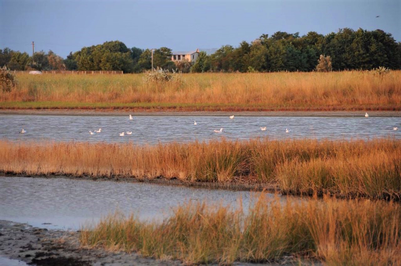
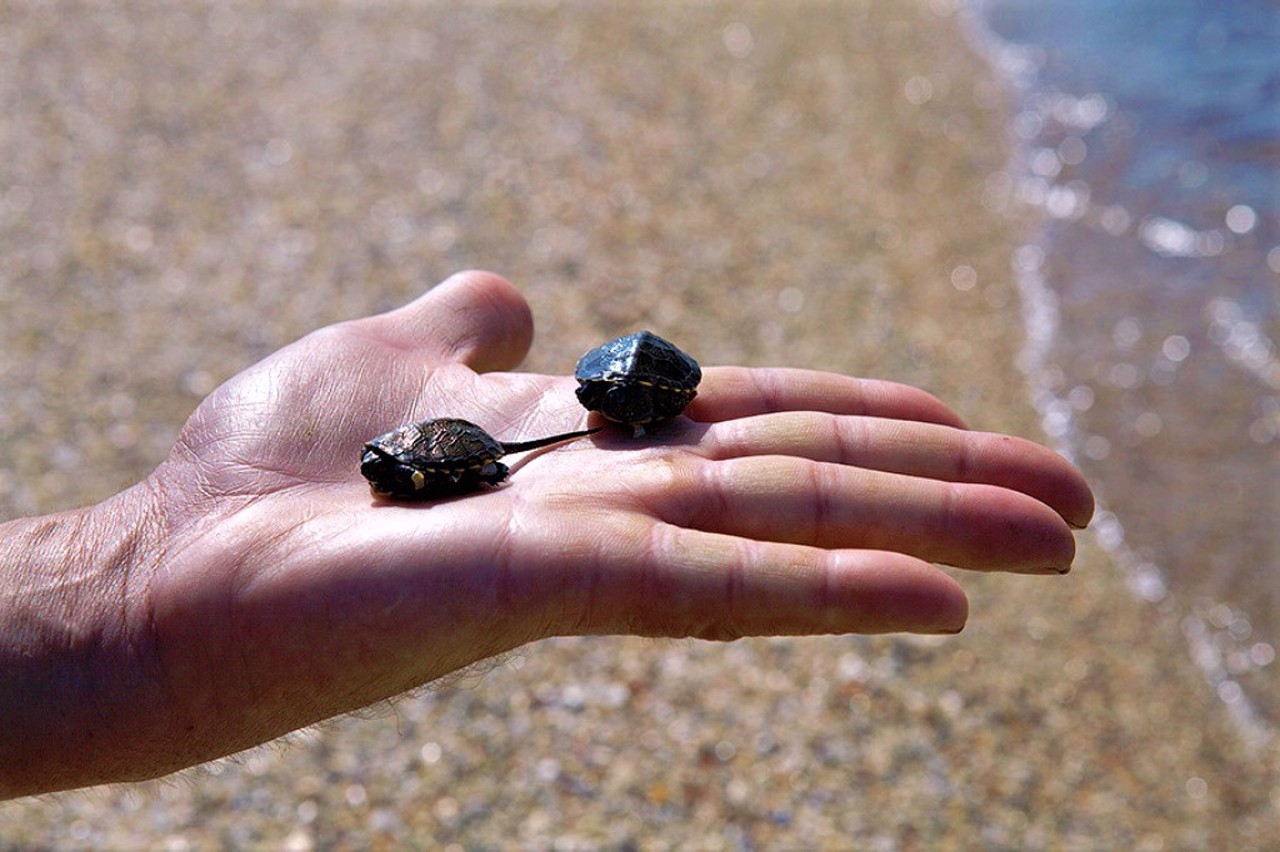
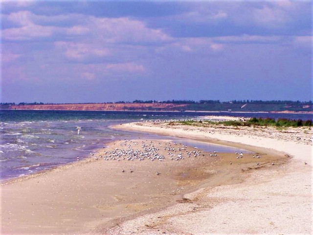
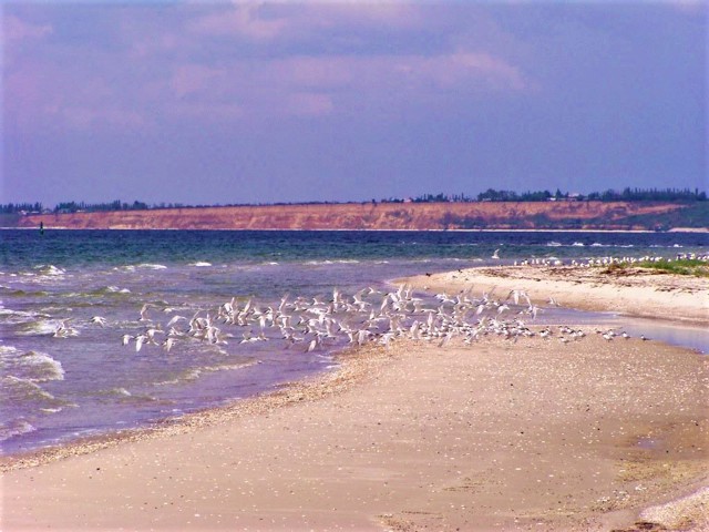
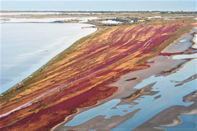
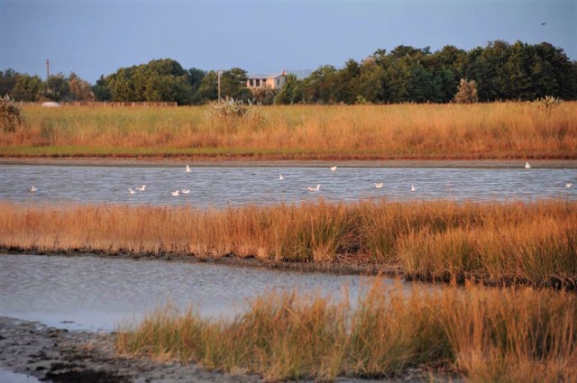
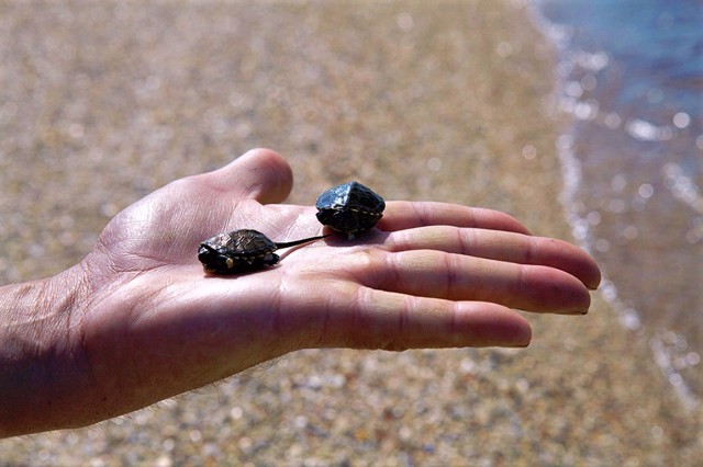
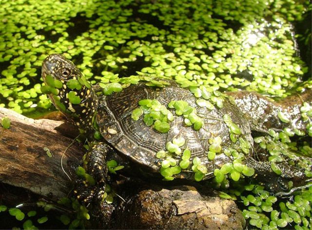
In 1992, the regional landscape park "Kinburn Spit" was created on the spit, which is part of the Black Sea Nature Reserve. About 60 species of animals listed in the Red Book of Ukraine have been recorded on the territory. About 240 species of birds nest here: swans, pink pelicans, geese, pheasants, herons, white-tailed eagles and others.
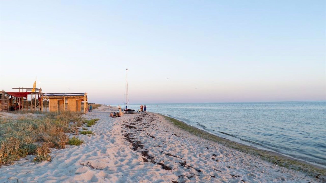
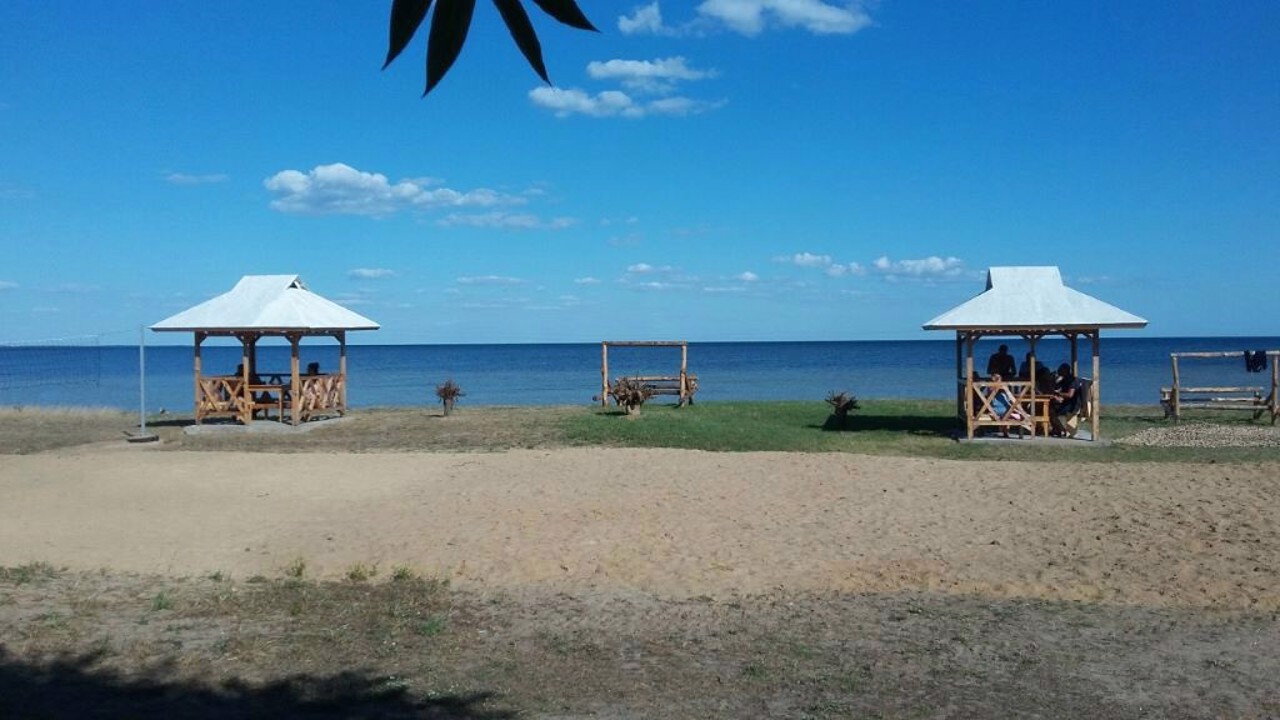
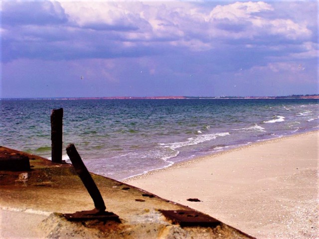
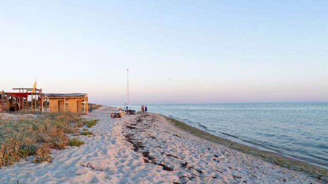
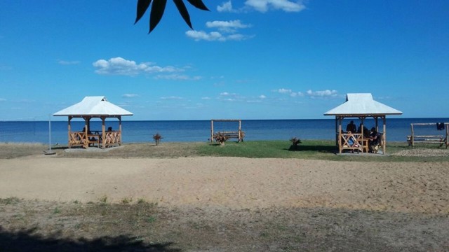
Kinburn spit attracts tourists with empty and clean beaches.
Excursions to historical and protected places are organized by the administration of the National Nature Park "Ivory Coast of Sviatoslav" (Biloberezhzhya Svyatoslava).
Russian-Ukrainian war
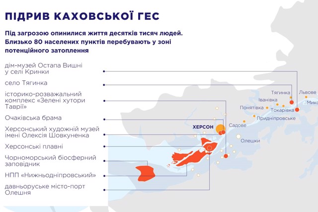
During the Russian-Ukrainian war, in March 2022, Russian troops occupied the Kinburn spit to block traffic from the ports of Kherson and Mykolaiv, and shelled Ochakiv. During the counteroffensive of the armed forces of Ukraine in November 2022, the Kinburn spit remained the only Russian-occupied part of the Mykolaiv region.
Кінбурнська коса - західний край Кінбурнського півострова, що відокремлює Дніпровський лиман від Чорного моря. Довжина коси близько 40 кілометрів, ширина 8-10 кілометрів.
Описана Геродотом як Гілея (лісиста земля), пізніше тут проходив шлях "з варягів у греки". З Кінбурнською косою пов'язано безліч міфів і легенд: про храм Деметри, про священний гай Гекати, про скіфське золото і про атлетичні ігри на честь перемоги Ахілла в морській битві, після чого греки прозвали косу Ахіллов Біг (за іншою версією, це острів Джарилгач).
В XV-XVIII сторіччях тут, навпроти Очакова, існувала турецька фортеця Кінбурн, у районі якої Олександр Суворов у 1787 році розгромив великий турецький десант (збереглися вали фортеці, відкрито меморіал).
Між Очаковим і Кінбурнс ...
Кінбурнська коса - західний край Кінбурнського півострова, що відокремлює Дніпровський лиман від Чорного моря. Довжина коси близько 40 кілометрів, ширина 8-10 кілометрів.
Описана Геродотом як Гілея (лісиста земля), пізніше тут проходив шлях "з варягів у греки". З Кінбурнською косою пов'язано безліч міфів і легенд: про храм Деметри, про священний гай Гекати, про скіфське золото і про атлетичні ігри на честь перемоги Ахілла в морській битві, після чого греки прозвали косу Ахіллов Біг (за іншою версією, це острів Джарилгач).
В XV-XVIII сторіччях тут, навпроти Очакова, існувала турецька фортеця Кінбурн, у районі якої Олександр Суворов у 1787 році розгромив великий турецький десант (збереглися вали фортеці, відкрито меморіал).
Між Очаковим і Кінбурнською косою серед лиману в 1790 році насипано штучний острів Майський з блок-фортом, який контролював вхід суден до лиману (досі у веденні військових).
В 1992 році на косі створено регіональний ландшафтний парк "Кінбурнська коса", що входить до Чорноморського заповідника. На території відмічено близько 60 видів тварин, занесених до Червоної книги України. Тут гніздиться близько 240 видів птахів: лебеді, рожеві пелікани, гуси, фазани, чаплі, орлан-білохвіст та інші.
Кінбурнська коса приваблює туристів порожніми та чистими пляжами.
Екскурсії історичними та заповідними місцями організує адміністрація Національного природного парку "Білобережжя Святослава".
Російсько-українська війна
Під час російсько-української війни, в березні 2022 року, російські війська окупували Кінбурнську косу, щоб заблокувати рух із портів Херсона й Миколаєва, та вели обстріли Очакова. В ході контрнаступу збройних сил України в листопаді 2022 року Кінбурнська коса лишилася єдиною окупованою росіянами частиною Миколаївської області.
Practical information about Kinburn Spit (Pokrovka)
Last update
2/27/2025
| Categories | Natural object, Reserve |
|---|---|
| Address |
Kinburn Peninsula
Pokrovka |
| Coordinates |
46.57666667° N, 31.51194444° E
|
| Phone | , |
| Additional services |
Аccessibility information
Have you visited Kinburn Spit in Pokrovka?
Add practical or descriptive information, photos, links
What to see, where to go next?

