Functional temporarily unavailable
Settlements
Lviv region
Cities and villages of
Lviv
region
Online travel guide to the settlements of
Lviv
region

Districts of Lviv region
Drohobych district
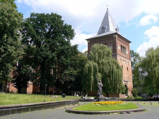
Drohobych district (Drohobytskyi) is located in the central part of Lviv region, on the historical and ethnographic territory of Boykivshchyna. The rivers Stry, Bystrytsia, and Tysmenytsia flow within the district.
A part of the Skole Beskydy National Nature Park is located in the mountainous part of the district.
The administrative center of Drohobytskyi distric... Read more
Drohobych district (Drohobytskyi) is located in the central part of Lviv region, on the historical and ethnographic territory of Boykivshchyna. The rivers Stry, Bystrytsia, and Tysmenytsia flow within the district.
A part of the Skole Beskydy National Nature Park is located in the mountainous part of the district.
The administrative center of Drohobytskyi district is the ancient city of Drohobych, which is known for the oldest operating industrial enterprise in Ukraine - Drohobych Saltworks. In addition, the city has a unique wooden church of St. George, a UNESCO World Heritage Site, as well as the Church of St. Bartholomew, Exaltation Church, Drohobych Town Hall, etc. The Nahuevychi State Historical and Cultural Reserve with the Ivan Franko Literary Memorial Museum is nearby.
Drohobych district is famous for the springs of mineral waters of Truskavets and Skhidnytsia, which are popular balneological resorts.
The area of Drohobych district is almost 1500 square kilometers. The population of the district reaches 240 thousand people.
Drohobych district includes 277 settlements, which are united into 5 territorial hromadas: Boryslavska, Drohobytska and Truskavetska city hromadas, Medenytska and Skhidnytska settlement territorial hromadas.
Lviv district
Lviv district (Lvivskyi) is located in the central part of Lviv region, on the historical and ethnographic lands of Halicia and Opillia. The Western Buh River flows within the district.
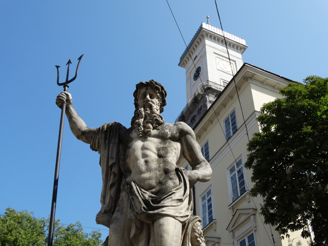
The administrative center of Lvivskyi district is the regional center - the city of Lviv, which is considered the informal cultural capital and the main tourist center of Ukraine. The a... Read more
Lviv district (Lvivskyi) is located in the central part of Lviv region, on the historical and ethnographic lands of Halicia and Opillia. The Western Buh River flows within the district.
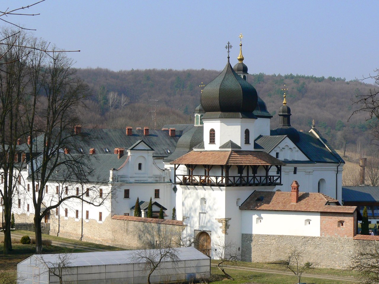
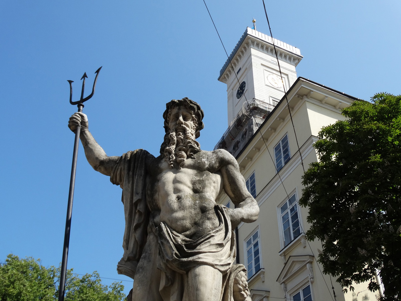
The administrative center of Lvivskyi district is the regional center - the city of Lviv, which is considered the informal cultural capital and the main tourist center of Ukraine. The architectural ensemble of the historic center of Lviv is included in the UNESCO World Heritage List. Its pearls are a complex of Renaissance buildings on Rynok Square with Lviv City Hall, the Cathedral (Latin) Cathedral, the Dominican Church, St. George's Cathedral, the Potocki Palace, the Lviv National Academic Opera and Ballet Theater named after Solomiya Krushelnytska, etc. Other important historical and cultural monuments of the district are Zhovkva Castle and the Church of St. Lawrence in Zhovkva, Krekhiv Monastery, Svirzky Castle, Pyatnychanska Tower, Exaltation Church and the Transfiguration Monastery in Horodok.
Within Lviv are also the main objects of the nature reserve fund of the district: Regional Landscape Park "Demolition" and Strysky Park-monument of landscape art of national importance. And the main recreational area near the city is the village of Bryukhovychi, where the Museum of Modern Sculpture of Mykhailo Dzyndra operates.
The total area of the district is almost 4970 square kilometers. The population of the district exceeds 1150 thousand people.
The Lviv district includes 531 settlements, which are united into 23 territorial hromadas: Bibrska, Hlynianska, Horodotska, Zhovkivska, Kamianka-Buzka, Komarnivska, Lvivska, Peremyshlianska, Pustomytivska and Rava-Ruska city hromadas, Velykoliubinska, Dobrosynsko-Maherivska, Kulykivska, Novoiarychivska and Shchyretska settlement hromadas, Davydivska, Zhovtanetska, Zymnovodivska, Murovanska, Obroshynska, Pidberiztsivska, Sokilnytska and Solonkivska village territorial hromadas.
Sambir district
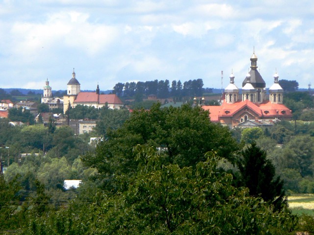
Sambir district (Sambirskyi) is located in the western part of Lviv region, in the historical and ethnographic region Boykivshchyna. It borders Poland to the west.
The border partly runs along the Syan River, the natural complex of which is protected by the Nadsyan Regional Landscape Park. In addition, in the mountainous territory of the Regional Landscape Park "U... Read more
Sambir district (Sambirskyi) is located in the western part of Lviv region, in the historical and ethnographic region Boykivshchyna. It borders Poland to the west.
The border partly runs along the Syan River, the natural complex of which is protected by the Nadsyan Regional Landscape Park. In addition, in the mountainous territory of the Regional Landscape Park "Upper Dniester Beskids" within the district originates and flows in its upper reaches, the Dniester River.
Here are such historical and cultural monuments as the Church of the Nativity of the Virgin and the Church of St. Stanislaus in Sambir, the Lavra Monastery, Dobromil Castle. The former Khyrivsky Monastery has been partially converted into a four-star hotel.
The administrative center of Sambirskyi district is the city of Sambir. The area of the district is more than 3250 square kilometers. The population of the district reaches 228 thousand people.
The Sambir district consists of 286 settlements, which are united into 11 territorial hromadas: Sambirska, Rudkivska, Dobromylska, Novokalynivska, Starosambirska, Turkivska and Khyrivska city hromadas, Borynska settlement hromada, Biskovytska, Ralivska and Strilkivska village hromadas hromadas.
Sheptytskyi district
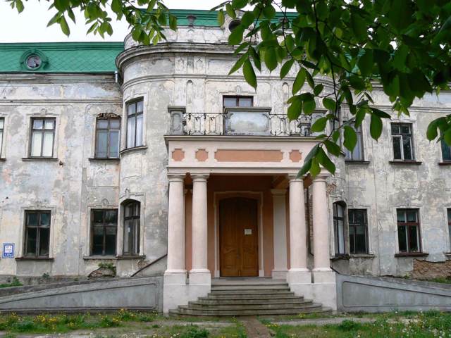
Sheptytskyi district is located in the northern part of Lviv region, on the historical and ethnographic lands of Galicia and Opillya. It borders Poland to the west.
The Zakhidniy Buh River flows within the district, along which the administrative border of the Volyn region runs in the north. The main objects of the nature reserve fund are Volytsky Botanical and Lopatyn... Read more
Sheptytskyi district is located in the northern part of Lviv region, on the historical and ethnographic lands of Galicia and Opillya. It borders Poland to the west.
The Zakhidniy Buh River flows within the district, along which the administrative border of the Volyn region runs in the north. The main objects of the nature reserve fund are Volytsky Botanical and Lopatyn Forest Reserves of national importance.
There are historical and cultural monuments such as the Potocki Palace, the Church of Saint Volodymyr and the Basilian Monastery of Saint George in Sheptytskyi, the Bernardine Monastery in Sokal, the Church of Saint Nicholas and the Church of Saint Nicholas in the former Belz Castle.
Until 2024, the district was called Chervonohradskyi. In 2024, in accordance with the requirements of the law of Ukraine "On Condemnation and Prohibition of Propaganda of Russian Imperial Policy in Ukraine and Decolonization of Toponymy" Chervonohradskyi District was renamed Sheptytskyi.
The administrative center of Sheptytskyi district is the industrial city of Sheptytskyi - the main center of mining in Western Ukraine. The area of the district is more than 2970 square kilometers. The population of the district reaches 233 thousand people.
The Sheptytskyi district consists of 205 settlements, which are united into 7 territorial hromadas: Belzka, Velykomostivska, Radekhivska, Sokalska and Sheptytskyi city hromadas, Dobrotvirska and Lopatynska settlement territorial hromadas.
Stryi district
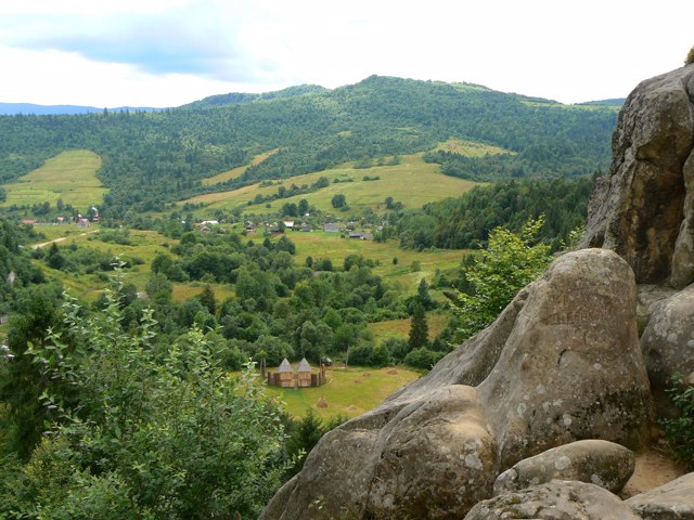
Stryi district (Stryiskyi) is located in the south-eastern part of Lviv region, on the historical and ethnographic lands of Boykivshchyna. The Dniester, Stryi and Opir rivers flow within the district.
The territory of the district includes most of the National Natural Park "Skole Beskydy" with the most popular natural attractions, including the waterfall Kamy... Read more
Stryi district (Stryiskyi) is located in the south-eastern part of Lviv region, on the historical and ethnographic lands of Boykivshchyna. The Dniester, Stryi and Opir rivers flow within the district.
The territory of the district includes most of the National Natural Park "Skole Beskydy" with the most popular natural attractions, including the waterfall Kamyanka and Mount Parashka, through which passes the iconic tourist route "Skole - Parashka - Maidan".
There are such historical and cultural monuments as the State Historical and Cultural Reserve "Tustan", Stilsko settlement of white Croats near Nikolaev, Gredley Palace in Skole, Memorial complex to fighters for the freedom of Ukraine in Stryi.
Stryi district has great recreational potential. Here is the largest ski resort in the Lviv region Slavsko, smaller ski resorts "Play", "Oryavchyk" and "Tysovets", as well as a large spa resort Morshyn on the sources of mineral waters of sodium chloride type. Green tourism is actively developing.
The administrative center of Stryiskyi district is the city of Stryi. The area of the district is over 3840 square kilometers. The population of the district reaches 328 thousand people.
The Stryi district includes 248 settlements, which are united in 14 territorial hromadas: Stryiska, Zhydachivska, Mykolaivska, Morshynska, Novorozdilska, Skolivska and Khodorivska city hromadas, Hnizdychivska, Zhuravnenska, Slavska settlement hromadas, Hrabovetsko-Dulibivska, Kozivska, Rozvadivska and Trostianetska village territorial hromadas.
Yavoriv district
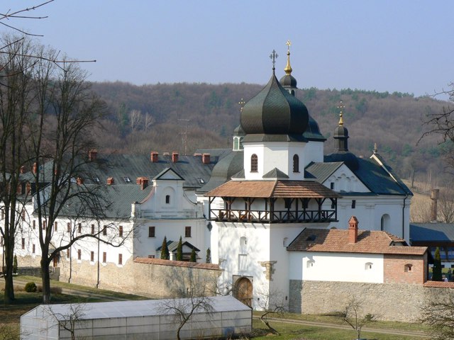
Yavoriv district (Yavorivskyi) is located in the western part of Lviv region, in the historical and ethnographic territory of Halicia. It borders Poland to the west.
The rivers Vereshchytsia (left tributary of the Dniester) and Shklo (right tributary of the Syan) flow within the district. Here lies the hilly ridge of Roztoche with one of the massifs of Beech virgin for... Read more
Yavoriv district (Yavorivskyi) is located in the western part of Lviv region, in the historical and ethnographic territory of Halicia. It borders Poland to the west.
The rivers Vereshchytsia (left tributary of the Dniester) and Shklo (right tributary of the Syan) flow within the district. Here lies the hilly ridge of Roztoche with one of the massifs of Beech virgin forests of the Carpathians, a UNESCO World Heritage Site, which is protected by the Roztoche Nature Reserve. The ecological trails of the Yavoriv National Nature Park, the Center for Breeding and Preservation of Descendants of Wild Tarpan Horses, and the Domazhyr Bear Shelter are popular.
There are such historical and cultural monuments as Stradetska Cave, Trinity Church in Ivano-Franokovo, the Church of the Nativity of St. John the Baptist in Mostyska, the estate-museum of Joseph Makovei.
The administrative center of Yavorivskyi district is the city of Yavoriv. The area of the district is almost 2380 square kilometers. The population of the district exceeds 180 thousand people.
Yavoriv district consists of 248 settlements, which are united into 6 territorial hromadas: Yavorivska, Mostyska, Novoiavorivska and Sudovovyshnianska city hromadas, Ivano-Frankivska settlement hromada and Shehynivska village territorial hromadas.
Zolochiv district
Zolochiv district (Zolochivskyi) is located in the eastern part of Lviv region, on the historical and ethnographic lands of Halicia and Opillia. The Western Buh River flows within the district.
The most important objects of the nature reserve fund of the district are the National Natural Park "Northern Podillya", natural monuments of national importance Bald ... Read more
Zolochiv district (Zolochivskyi) is located in the eastern part of Lviv region, on the historical and ethnographic lands of Halicia and Opillia. The Western Buh River flows within the district.
The most important objects of the nature reserve fund of the district are the National Natural Park "Northern Podillya", natural monuments of national importance Bald Mountain (Sypukha) and Mount Vapnyarka, Busk Park in Zolochiv.
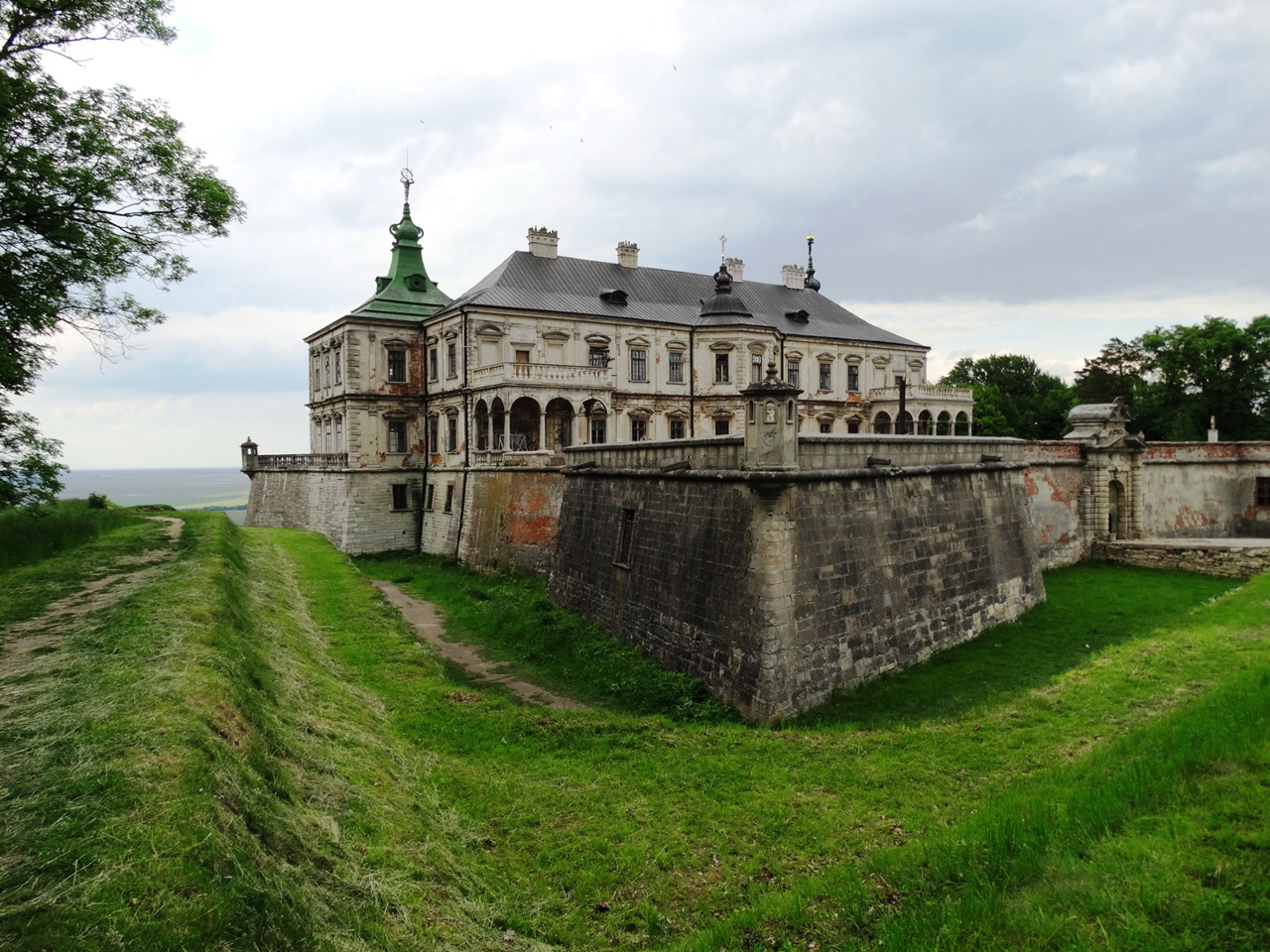
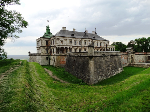
The city of Zolochiv is the administrative center of Zolochivskyi district. Zolochiv Castle, Pidhirtsi Castle and Olesko Castle are the key objects of the popular tourist route "Golden Horseshoe of Lviv Region". Among other important historical and cultural monuments of the district: Pomoriany Castle, Pidhirtsi Monastery and Exaltation Church in Pidhirtsi, Ascension Church in Zolochiv, Dominican Monastery in Pidkamen.
The area of Zolochiv district is 2913 square kilometers. The population of the district reaches 163 thousand people.
The Zolochiv district includes 277 settlements, which are united into 7 territorial hromadas: Brodivska, Buska and Zolochivska city hromadas, Krasnenska, Pidkaminska and Pomorianska settlement hromadas, Zabolottsivska village territorial hromadas.

