Functional temporarily unavailable
Settlements
Kirovohrad region
Cities and villages of
Kirovohrad
region
Online travel guide to the settlements of
Kirovohrad
region

Districts of Kirovohrad region
Holovanivsk district
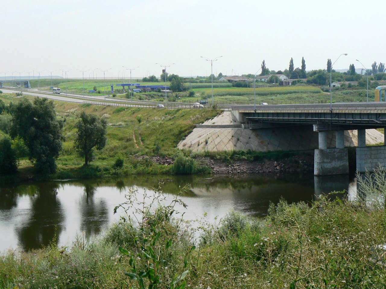
Holovanivsk district (Holovanivskyi) is located in the western part of the Kirovohrad region, in the historical and ethnographic territory of the Middle Dnipro. The Southern Buр River flows within the district.
A popular tourist attraction is the Museum of Strategic Missile Forces on the basis of the liquidated intercontinental ballistic missile mine launcher. Also loc... Read more
Holovanivsk district (Holovanivskyi) is located in the western part of the Kirovohrad region, in the historical and ethnographic territory of the Middle Dnipro. The Southern Buр River flows within the district.
A popular tourist attraction is the Museum of Strategic Missile Forces on the basis of the liquidated intercontinental ballistic missile mine launcher. Also located here is the longest in Ukraine and Europe Haivoron narrow-gauge railway, on which passenger trains run on the route "Haivoron - Rudnytsia". The territory of the district is crossed by the M-05 highway, which has a well-developed road service infrastructure in this place.
The administrative center of Holovanivskyi district is Holovanivsk township. The area of the district is almost 4245 square kilometers. The population of the district reaches 125 thousand people.
The Holovanivsk district includes 183 settlements, which are united into 10 territorial hromadas: Haivoronska and Blahovishchenska city hromadas, Zavallivska, Holovanivska, Pobuzka, Novoarkhanhelska and Vilshanska settlement hromadas, Pidvysotska, Nadlatska and Perehonivska village territorial hromadas.

Kropyvnytskyi district
Kropyvnytskyi district is located in the central part of Kirovohrad region, in the historical and ethnographic territory of the Middle Dnipro. The Inhul River flows within the district and the Ingulets River originates.
The sources of Ingulets and the Black Swamp in the tract "Black Forest" are natural monuments of national importance. The arboretum "Ves... Read more
Kropyvnytskyi district is located in the central part of Kirovohrad region, in the historical and ethnographic territory of the Middle Dnipro. The Inhul River flows within the district and the Ingulets River originates.
The sources of Ingulets and the Black Swamp in the tract "Black Forest" are natural monuments of national importance. The arboretum "Veseli Bokovenky" is also of national importance.
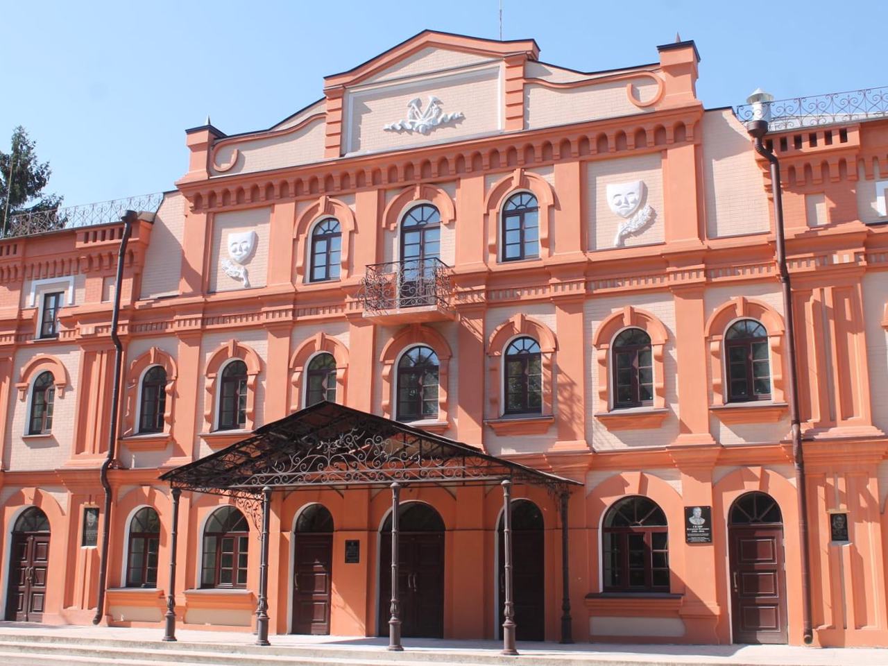
The administrative center of Kropyvnytskyi district is the regional center, the city of Kropyvnytskyi, which is famous for its tulip festivals in the local arboretum. Its historical and cultural monuments are the ramparts of the Elizabeth Fortress, from which the city began, the Cathedral of the Nativity of the Virgin and the Transfiguration Cathedral, a complex of buildings of the military town, the "Theater of Coryphaeus". The city is considered the cradle of the Ukrainian theater, because it was here in 1882 that the first Ukrainian professional theater was opened, which employed prominent Ukrainian cultural figures Marko Kropyvnytsky, Ivan Karpenko-Kary, Maria Zankovetska, Mykola Sadovsky. The expositions of several museums of the city are dedicated to them, as well as the State Reserve-Museum of Ivan Karpenko-Kary (Tobilevych) "Khutir Nadiya" in Mykolayivka and the museum-natural reserve "Tobilevychi" in Arsenivka.
Kropyvnytskyi district is one of the largest in Ukraine - its area is 9717 square kilometers. The population of the district reaches 448 thousand people.
The Kropyvnytskyi district includes 418 settlements, which are united into 17 territorial hromadas: Kropyvnytska, Znamianska, Bobrynetska and Dolynska city hromadas, Oleksandrivska, Kompaniivska, Novhorodkivska and Ustynivska settlement hromadas, Ketrysanivska, Hurivska, Dmytrivska, Adzhamska, Subottsivska, Velykoseverynivska, Katerynivska, Pervozvanivska and Sokolivska village territorial hromadas.
Novoukrainka district
Novoukrainka district (Novoukrainskyi) is located in the central part of Kirovohrad region, in the historical and ethnographic territory of the Middle Dnipro. The rivers Chorny Tashlyk and Velyka Vys flow within the district, part of the floodplain of which is protected by the hydrological reserve of the same name.
According to one version, the geographical center of U... Read more
Novoukrainka district (Novoukrainskyi) is located in the central part of Kirovohrad region, in the historical and ethnographic territory of the Middle Dnipro. The rivers Chorny Tashlyk and Velyka Vys flow within the district, part of the floodplain of which is protected by the hydrological reserve of the same name.
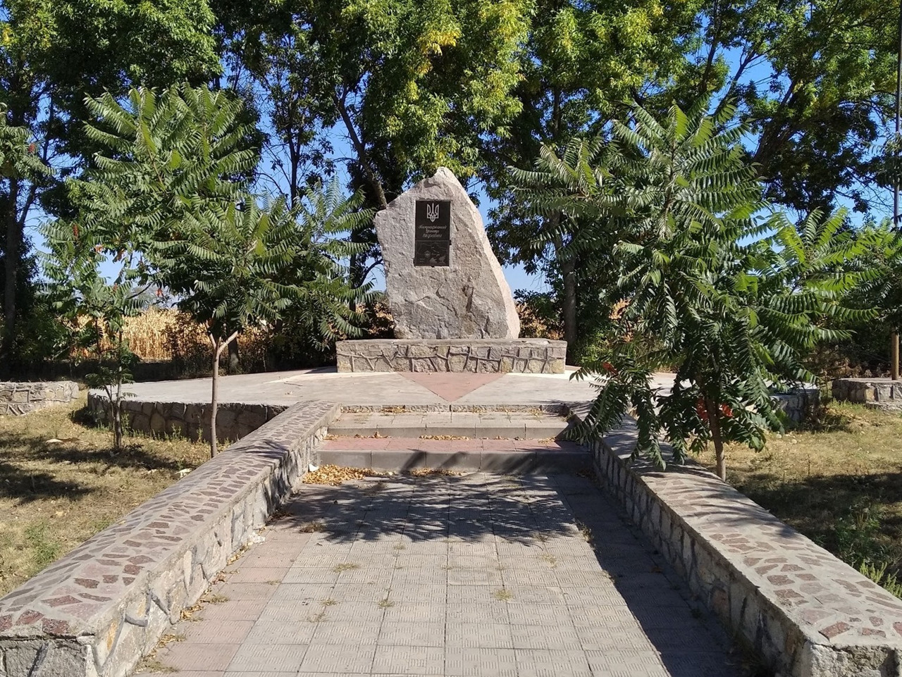
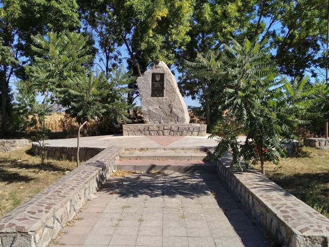
According to one version, the geographical center of Ukraine was determined near the town of Dobrovelychkivka, and a memorial sign in the form of a granite stele was erected at this place.
The administrative center of the Novoukrainskyi district is the city of Novoukrainka. The area of the district reaches almost 5,200 square kilometers. The population of the district is 143 thousand people.
The Novoukrainka district consists of 242 settlements, which are united in 13 territorial hromadas: Pomichnianska, Malovyskivska, Novomyrhorodska and Novoukrains'ka city hromadas, Dobrovelychkivska and Smolinska settlement hromadas, Pishchanobridska, Tyshkivska, Zlynska, Mar'ianivska, Hannivska, Hlodoska and Rivnianska village territorial hromadas.
Oleksandriia district
Oleksandriia district (Oleksandriiskyi) is located in the eastern part of Kirovohrad region, in the historical and ethnographic territory of the Middle Dnipro. The north-eastern border of the district runs along the Dnipro River. The Ingulets River also flows within the district. Onufriyivka Arboretum in Onufriyivka is a monument of landscape art of national importance. Ther... Read more
Oleksandriia district (Oleksandriiskyi) is located in the eastern part of Kirovohrad region, in the historical and ethnographic territory of the Middle Dnipro. The north-eastern border of the district runs along the Dnipro River. The Ingulets River also flows within the district. Onufriyivka Arboretum in Onufriyivka is a monument of landscape art of national importance. There is a private zoo in the village of Ozerky on the outskirts of Svitlovodsk.
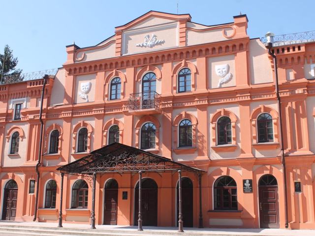
The administrative center of the Oleksandriiskyi district is the city of Oleksandriia, where fragments of historic buildings have been preserved, which are architectural monuments of local significance. The area of the district is 5410 square kilometers. The population of the district reaches 230 thousand people.
Oleksandriia district includes 188 settlements, which are united into 9 territorial hromadas: Oleksandriiska and Svitlovodska city hromadas, Pantaivska, Novoprazka, Pryiutivska, Onufriivska and Petrivska settlement hromadas, Popelnastivska and Velykoandrusivska village territorial hromadas.
