Functional temporarily unavailable
Cities and villages of Kamyanske district
Online travel guide to the settlements of Kamyanske district
General information about Kamyanske district
Kamyanske district (Kamyanskyi) is located in the north-western part of Dnipropetrovsk region, on the historical and ethnographic territory of the Middle Dnipro, on the banks of the Kamyansky reservoir, formed by the dam of the Middle Dnipro HPP.
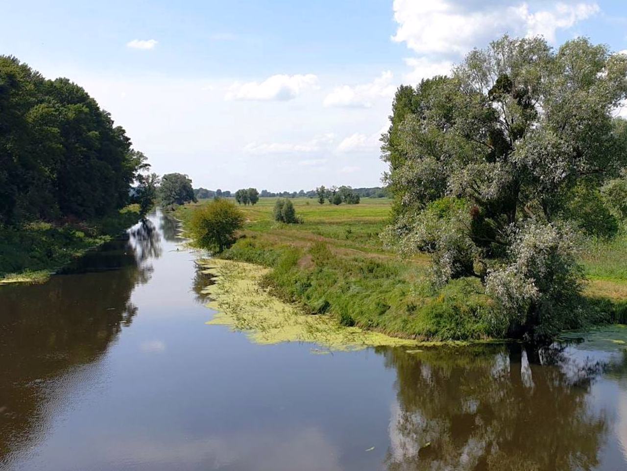
The Zhovta River flows within the district, on the banks of which the Battle of Zhovty Vody took place in 1648, which ended with the first significant victory of the Ukrainian Cossack army of Bohdan Khmelnytsky in the national liberation war against the Rich Pospolyta.
The administrative center of Kamyanskyi district is the city of Kamyanske. The area of the district is more than 4820 square kilometers. The population of the district reaches 439 thousand people.
The Kamyanske district includes 274 settlements, which are united ...
Kamyanske district (Kamyanskyi) is located in the north-western part of Dnipropetrovsk region, on the historical and ethnographic territory of the Middle Dnipro, on the banks of the Kamyansky reservoir, formed by the dam of the Middle Dnipro HPP.
The Zhovta River flows within the district, on the banks of which the Battle of Zhovty Vody took place in 1648, which ended with the first significant victory of the Ukrainian Cossack army of Bohdan Khmelnytsky in the national liberation war against the Rich Pospolyta.
The administrative center of Kamyanskyi district is the city of Kamyanske. The area of the district is more than 4820 square kilometers. The population of the district reaches 439 thousand people.
The Kamyanske district includes 274 settlements, which are united into 12 territorial hromadas: Verkhivtsivska, Vilnohirska, Verkhnodniprovska, Zhovtovodska, Kamyanska, Pyatykhatska city hromadas, Bozhedarivska, Vyshnivska, Krynychanska, Lykhivska settlement hromadas, Zatyshnianska and Saksahanska village territorial hromadas.
Кам'янський район розташований у північно-західній частині Дніпропетровської області, на історико-етнографічній території Середнього Подніпров'я, на березі Кам'янського водосховища, утвореного греблею Середньодніпровської ГЕС.
У межах району протікає річка Жовта, на берегах якої в 1648 році відбулася Битва під Жовтими Водами, що завершилася першою значною перемогою українського козацького війська Богдана Хмельницького у національно-визвольній війні проти Речі Посполитої.
Адміністративним центром Кам'янського району є місто Кам'янське. Площа території району становить понад 4820 квадратних кілометрів. Чисельність населення району сягає 439 тисяч осіб.
До складу Кам'янського району входять 274 населені пункти, які об'єднані у 12 територіальних ...
Кам'янський район розташований у північно-західній частині Дніпропетровської області, на історико-етнографічній території Середнього Подніпров'я, на березі Кам'янського водосховища, утвореного греблею Середньодніпровської ГЕС.
У межах району протікає річка Жовта, на берегах якої в 1648 році відбулася Битва під Жовтими Водами, що завершилася першою значною перемогою українського козацького війська Богдана Хмельницького у національно-визвольній війні проти Речі Посполитої.
Адміністративним центром Кам'янського району є місто Кам'янське. Площа території району становить понад 4820 квадратних кілометрів. Чисельність населення району сягає 439 тисяч осіб.
До складу Кам'янського району входять 274 населені пункти, які об'єднані у 12 територіальних громад: Верхівцівську, Вільногірську, Верхньодніпровську, Жовтоводську, Кам'янську, П'ятихатську міські, Божедарівську, Вишнівську, Криничанську, Лихівську селищні, Затишнянську й Саксаганську сільські територіальні громади.


