Functional temporarily unavailable
Cities and villages of Verkhovyna district
Online travel guide to the settlements of Verkhovyna district
General information about Verkhovyna district
Verkhovyna district (Verkhovynskyi) is located in the southern, mountainous part of Ivano-Frankivsk region, in the historical and ethnographic territory of Hutsul region. It borders Romania to the south. The Black Cheremosh River flows within the district.
Here is the Verkhovyna National Nature Park, as well as part of the Carpathian National Nature Park.
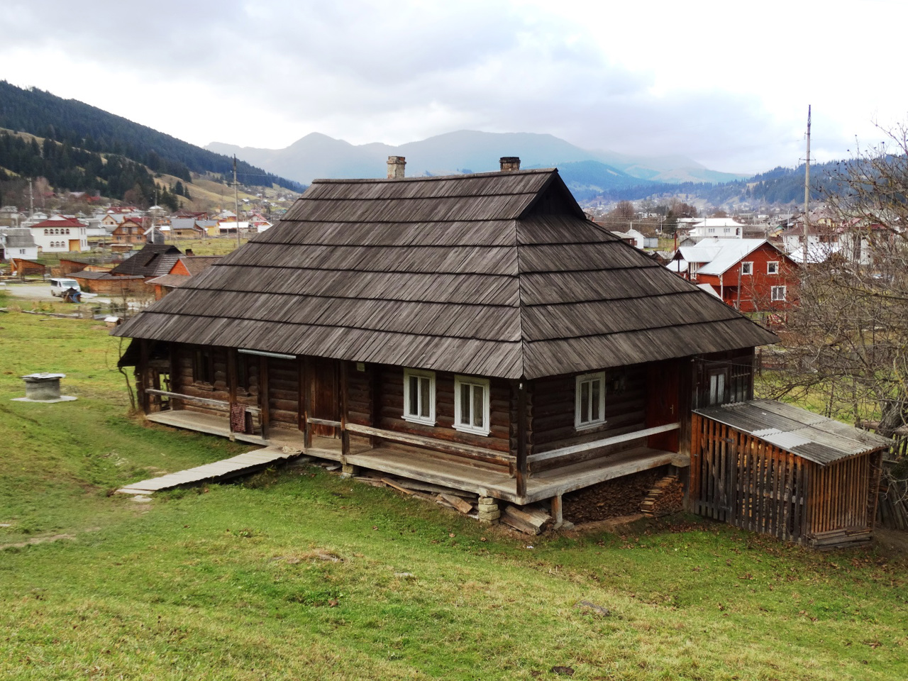
Due to the inaccessibility in the Verkhovyna region, the traditional culture and way of life of Ukrainian mountaineers are best preserved, which can be found in the museum "Hutsul homestead of a Hutsul housewife", in the Verkhovyna museum "Hutsulshchyna" and in numerous private ethnographic museums. Architectural monuments of national importance are the wooden churches of the Nativity of the Blessed Virg ...
Verkhovyna district (Verkhovynskyi) is located in the southern, mountainous part of Ivano-Frankivsk region, in the historical and ethnographic territory of Hutsul region. It borders Romania to the south. The Black Cheremosh River flows within the district.
Here is the Verkhovyna National Nature Park, as well as part of the Carpathian National Nature Park.
Due to the inaccessibility in the Verkhovyna region, the traditional culture and way of life of Ukrainian mountaineers are best preserved, which can be found in the museum "Hutsul homestead of a Hutsul housewife", in the Verkhovyna museum "Hutsulshchyna" and in numerous private ethnographic museums. Architectural monuments of national importance are the wooden churches of the Nativity of the Blessed Virgin in Kryvorivnya, the Holy Apostles Peter and Paul in Krasnoilya, the Beheading of John the Baptist in Zelene and others. Excursions to shepherds on mountain meadows and master classes on preparation of Hutsul sheep bryndza, which became the first Ukrainian product with a geographical indication, are popular.
The administrative center of Verkhovynskyi district is the village of Verkhovyna (former Zhabye), which has a developed tourist infrastructure. The area of the district is more than 1270 square kilometers. At the same time, it is the least populated region of Ukraine - its population barely exceeds 30 thousand people.
Verkhovyna district consists of 43 settlements, which are united into 3 territorial hromadas: Verkhovynska settlement hromada, Biloberizka and Zelenska village territorial hromadas.
Верховинський район розташований у південній, гірській частині Івано-Франківської області, на історико-етнографічній території Гуцульщини. З півдня межує з Румунією. В межах району протікає річка Чорний Черемош.
Тут розташований Верховинський національний природний парк, а також частина Карпатського національного природного парку.
Завдяки важкодоступності на Верховинщині найкраще зберіглася традиційна культура та побут українських горян, з якими можна познайомитися в музеї "Хата-гражда гуцульської господарки", у верховинському музеї "Гуцульщина" та в численних приватних етнографічних музеях. Пам'ятками архітектури національного значення є дерев'яні церкви Різдва Пресвятої Богородиці у Криворівні, Святих Апостолів Петра і Павла у Красноїллі, Усікно ...
Верховинський район розташований у південній, гірській частині Івано-Франківської області, на історико-етнографічній території Гуцульщини. З півдня межує з Румунією. В межах району протікає річка Чорний Черемош.
Тут розташований Верховинський національний природний парк, а також частина Карпатського національного природного парку.
Завдяки важкодоступності на Верховинщині найкраще зберіглася традиційна культура та побут українських горян, з якими можна познайомитися в музеї "Хата-гражда гуцульської господарки", у верховинському музеї "Гуцульщина" та в численних приватних етнографічних музеях. Пам'ятками архітектури національного значення є дерев'яні церкви Різдва Пресвятої Богородиці у Криворівні, Святих Апостолів Петра і Павла у Красноїллі, Усікновіння голови Іоана Хрестителя в Зеленому тощо. Популярними є екскурсії до вівчарів на гірські полонини та майстеркласи з приготування гуцульської овечої бриндзі, яка стала першим українським продуктом з географічним зазначенням.
Адміністративним центром Верховинського району є селище міського типу Верховина (колишнє Жаб'є), що має розвинену туристичну інфраструктуру. Площа території району становить понад 1270 квадратних кілометрів. Водночас це найменш населений район України - чисельність його населення ледь перевищує 30 тисяч осіб.
До складу Верховинського району входять 43 населені пункти, які об'єднані у 3 територіальні громади: Верховинська селищна, Білоберізька та Зеленська сільські територіальні громади.


