Functional temporarily unavailable
Cities and villages of Berdychiv district
Online travel guide to the settlements of Berdychiv district
General information about Berdychiv district
Berdychiv district (Berdychivskyi) is located in the southern part of Zhytomyr region, in the territory of historical Volyn. The rivers Rostavytsia, Huyva and Hnylopyat flow within the district.
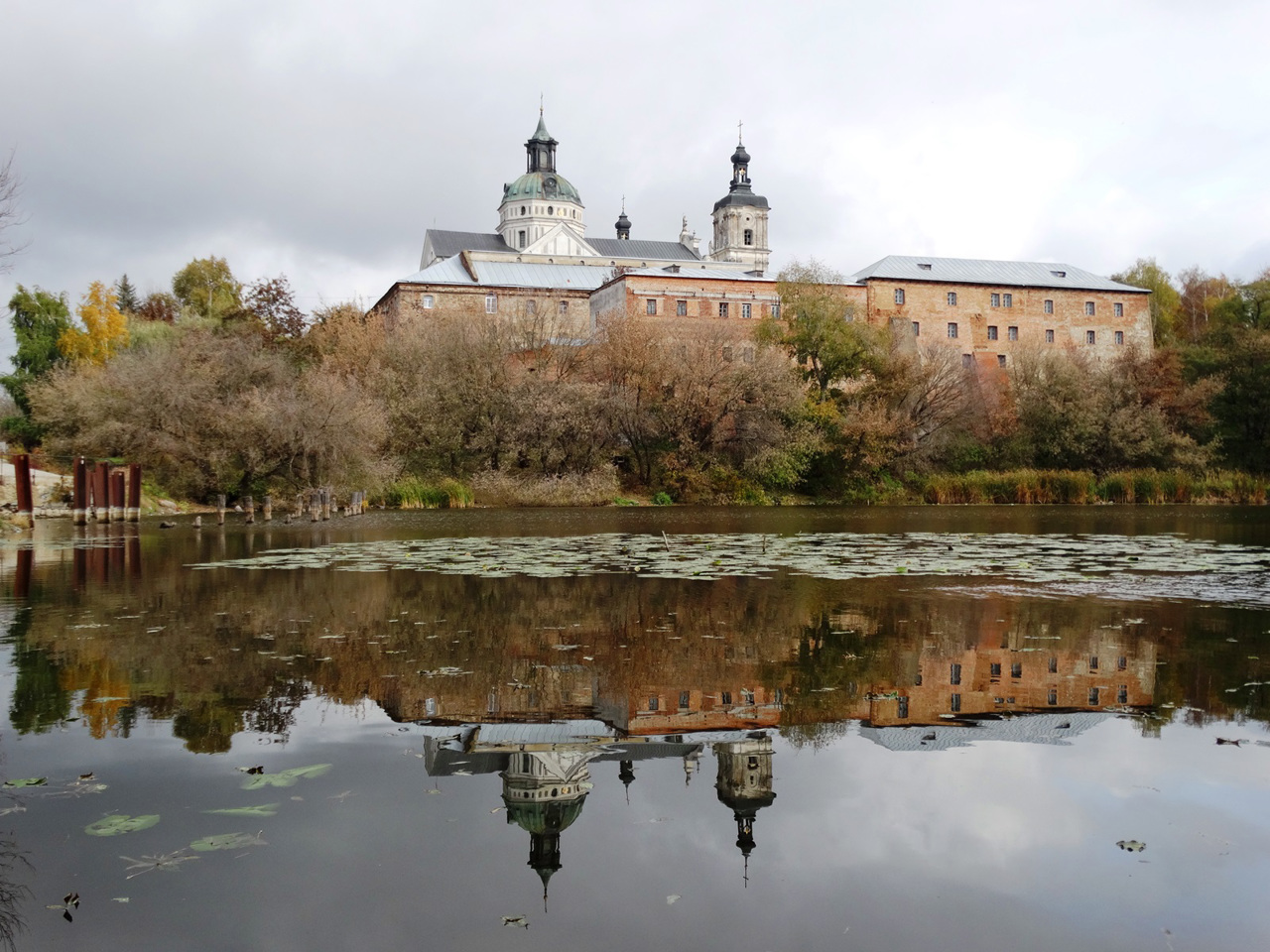
There are such historical and cultural monuments as the monastery of the Barefoot Carmelites and the church of St. Barbara in Berdychiv, the neo-Gothic church of St. Clare in Horodkivka, the estate of the Hanskyi in Verkhivnya, the palaces of Tereshchenko in Chervone and Andrushivka.
The administrative center of Berdychivskyi district is the city of Berdychiv. The area of the district is 3014 square kilometers. The population of the district reaches 163 thousand people.
The Berdychiv district includes 162 settlements, which are united in 10 territorial hromadas: Andrushivska an ...
Berdychiv district (Berdychivskyi) is located in the southern part of Zhytomyr region, in the territory of historical Volyn. The rivers Rostavytsia, Huyva and Hnylopyat flow within the district.
There are such historical and cultural monuments as the monastery of the Barefoot Carmelites and the church of St. Barbara in Berdychiv, the neo-Gothic church of St. Clare in Horodkivka, the estate of the Hanskyi in Verkhivnya, the palaces of Tereshchenko in Chervone and Andrushivka.
The administrative center of Berdychivskyi district is the city of Berdychiv. The area of the district is 3014 square kilometers. The population of the district reaches 163 thousand people.
The Berdychiv district includes 162 settlements, which are united in 10 territorial hromadas: Andrushivska and Berdychivska city hromadas, Hryshkovetska, Ruzhynska, Chervonenska settlements hromadas and Vchoraishenska, Krasnopilska, Raihorodotska, Semenivska, Shvaikivska village territorial hromadas.
Бердичівський район розташований у південній частині Житомирської області, на території історичної Волині. В межах району протікають річки Роставиця, Гуйва та Гнилоп'ять.
Тут розташовані такі історико-культурні пам'ятки, як монастир Босих Кармелітів і костел Святої Варвари в Бердичеві, неоготичний костел Святої Клари у Городківці, маєток Ганських у Верхівні, палаци Терещенків у Червоному й Андрушівці.
Адміністративним центром Бердичівського району є місто Бердичів. Площа території району становить 3014 квадратних кілометрів. Чисельність населення району сягає 163 тисяч осіб.
До складу Бердичівського району входять 162 населені пункти, які об'єднані у 10 територіальних громад: Андрушівська, Бердичівська міські, Гришковецька, Ружинська, Червоненська селищні т ...
Бердичівський район розташований у південній частині Житомирської області, на території історичної Волині. В межах району протікають річки Роставиця, Гуйва та Гнилоп'ять.
Тут розташовані такі історико-культурні пам'ятки, як монастир Босих Кармелітів і костел Святої Варвари в Бердичеві, неоготичний костел Святої Клари у Городківці, маєток Ганських у Верхівні, палаци Терещенків у Червоному й Андрушівці.
Адміністративним центром Бердичівського району є місто Бердичів. Площа території району становить 3014 квадратних кілометрів. Чисельність населення району сягає 163 тисяч осіб.
До складу Бердичівського району входять 162 населені пункти, які об'єднані у 10 територіальних громад: Андрушівська, Бердичівська міські, Гришковецька, Ружинська, Червоненська селищні та Вчорайшенська, Краснопільська, Райгородоцька, Семенівська, Швайківська сільські територіальні громади.


