Functional temporarily unavailable
Cities and villages of Tiachiv district
Online travel guide to the settlements of Tiachiv district
General information about Tiachiv district
Tiachiv district (Tiachivskyi) is located in the eastern part of the Transcarpathian region, bordering Romania to the south. The Tisza River flows within the district.
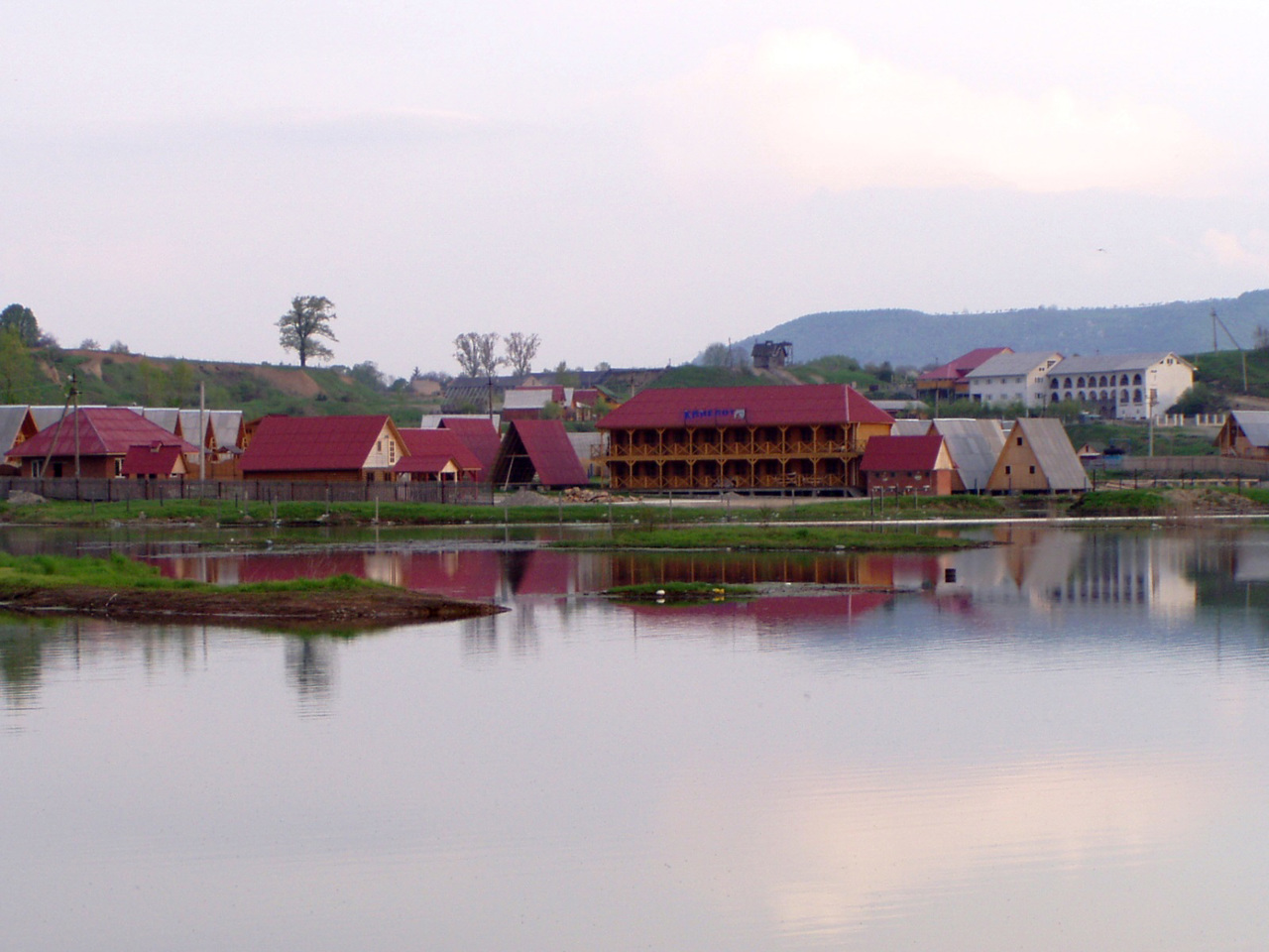
The nature of part of the mountainous areas of the district is protected by the Carpathian Biosphere Reserve. There are 67 mineral springs, including thermal. Solotvyno Lakes have a great recreational potential on the site of the former salt fisheries in the village of Solotvyno, which is a popular summer resort.
The administrative center of Tiachivskyi district is the city of Tiachiv. The area of the district is almost 1870 square kilometers. The population of the district reaches 185 thousand people.
Tiachiv district consists of 64 settlements, which are united into 10 territorial hromadas: Tiachivska ...
Tiachiv district (Tiachivskyi) is located in the eastern part of the Transcarpathian region, bordering Romania to the south. The Tisza River flows within the district.
The nature of part of the mountainous areas of the district is protected by the Carpathian Biosphere Reserve. There are 67 mineral springs, including thermal. Solotvyno Lakes have a great recreational potential on the site of the former salt fisheries in the village of Solotvyno, which is a popular summer resort.
The administrative center of Tiachivskyi district is the city of Tiachiv. The area of the district is almost 1870 square kilometers. The population of the district reaches 185 thousand people.
Tiachiv district consists of 64 settlements, which are united into 10 territorial hromadas: Tiachivska city hromada, Bedevlianska, Vilkhovetska, Neresnytska and Uhlianska village hromadas, Bushtynska, Dubivska, Solotvynska, Teresvianska and Ust-Chornianska settlement territorial hromadas.
Тячівський район розташований у східній частині Закарпатської області, з півдня межує з Румунією. В межах району протікає річка Тиса.
Природа частини гірських територій району знаходиться під охороною Карпатського біосферного заповідника. Тут виявлено 67 мінеральних джерел, зокрема термальних. Великий рекреаційний потенціал мають Солотвинські озера на місці колишніх соляних промислів у смт Солотвино, що є популярним літнім курортом.
Адміністративним центром Тячівського району є місто Тячів. Площа території району становить майже 1870 квадратних кілометрів. Чисельність населення району сягає 185 тисяч осіб.
До складу Тячівського району входять 64 населені пункти, які об'єднані у 10 територіальних громад: Тячівська міська, Бедевлянська, Вільховецька, Нересницька, Угл ...
Тячівський район розташований у східній частині Закарпатської області, з півдня межує з Румунією. В межах району протікає річка Тиса.
Природа частини гірських територій району знаходиться під охороною Карпатського біосферного заповідника. Тут виявлено 67 мінеральних джерел, зокрема термальних. Великий рекреаційний потенціал мають Солотвинські озера на місці колишніх соляних промислів у смт Солотвино, що є популярним літнім курортом.
Адміністративним центром Тячівського району є місто Тячів. Площа території району становить майже 1870 квадратних кілометрів. Чисельність населення району сягає 185 тисяч осіб.
До складу Тячівського району входять 64 населені пункти, які об'єднані у 10 територіальних громад: Тячівська міська, Бедевлянська, Вільховецька, Нересницька, Углянська сільські, Буштинська, Дубівська, Солотвинська, Тересвянська, Усть-Чорнянська селищні територіальні громади.


