Functional temporarily unavailable
Cities and villages of Pervomaisk district
Online travel guide to the settlements of Pervomaisk district
General information about Pervomaisk district
Pervomaisk district (Pervomaiskyi) is located in the northern part of the Mykolaiv region, at the intersection of historical and ethnographic territories of the Black Sea coast, the Middle Dnipro and Podillya. The Southern Buh River flows within the district.
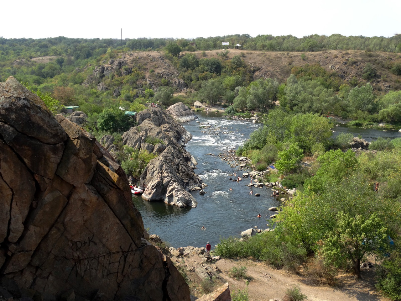
The Myhiia rapids on the Southern Buh are part of the Buzky Guard National Nature Park, whose administration is located in Myhiia. It is the largest rafting center in Ukraine.
The administrative center of Pervomaiskyi district is the city of Pervomaisk. The area of the district is 3797 square kilometers. The population of the district reaches 152 thousand people.
The Pervomaisky district includes 140 settlements, which are united into 8 territorial hromadas: Pervomaiska city hromada, Arbuzynska, Vradiivska and Kry ...
Pervomaisk district (Pervomaiskyi) is located in the northern part of the Mykolaiv region, at the intersection of historical and ethnographic territories of the Black Sea coast, the Middle Dnipro and Podillya. The Southern Buh River flows within the district.
The Myhiia rapids on the Southern Buh are part of the Buzky Guard National Nature Park, whose administration is located in Myhiia. It is the largest rafting center in Ukraine.
The administrative center of Pervomaiskyi district is the city of Pervomaisk. The area of the district is 3797 square kilometers. The population of the district reaches 152 thousand people.
The Pervomaisky district includes 140 settlements, which are united into 8 territorial hromadas: Pervomaiska city hromada, Arbuzynska, Vradiivska and Kryvoozerska settlement hromadas, Blahodatnenska, Kamyanomostivska, Myhiivska and Syniukhynobridska village territorial hromadas.
Первомайський район розташований у північній частині Миколаївської області, на перетині історико-етнографічних територій Причорномор'я, Середнього Подніпров'я та Поділля. В межах району протікає річка Південний Буг.
Мигійські пороги на Південному Бузі є частиною Національного природного парку "Бузький Гард", адміністрація якого розташовується саме в Мигії. Це є найбільший в Україні центр рафтингу.
Адміністративним центром Первомайського району є місто Первомайськ. Площа території району становить 3797 квадратних кілометрів. Чисельність населення району сягає 152 тисяч осіб.
До складу Первомайського району входять 140 населених пунктів, які об'єднані у 8 територіальних громад: Первомайська міська, Арбузинська, Врадіївська, Кривоозерська селищні, Бл ...
Первомайський район розташований у північній частині Миколаївської області, на перетині історико-етнографічних територій Причорномор'я, Середнього Подніпров'я та Поділля. В межах району протікає річка Південний Буг.
Мигійські пороги на Південному Бузі є частиною Національного природного парку "Бузький Гард", адміністрація якого розташовується саме в Мигії. Це є найбільший в Україні центр рафтингу.
Адміністративним центром Первомайського району є місто Первомайськ. Площа території району становить 3797 квадратних кілометрів. Чисельність населення району сягає 152 тисяч осіб.
До складу Первомайського району входять 140 населених пунктів, які об'єднані у 8 територіальних громад: Первомайська міська, Арбузинська, Врадіївська, Кривоозерська селищні, Благодатненська, Кам'яномостівська, Мигіївська, Синюхинобрідська сільські територіальні громади.


