Functional temporarily unavailable
Cities and villages of Bashtanka district
Online travel guide to the settlements of Bashtanka district
General information about Bashtanka district
Bashtanka district (Bashtanskyi) is located in the eastern part of the Mykolaiv region, in the historical and ethnographic territories of the Black Sea coast and the Middle Dnipro. The Inhul and Inhulets rivers flow within the district.
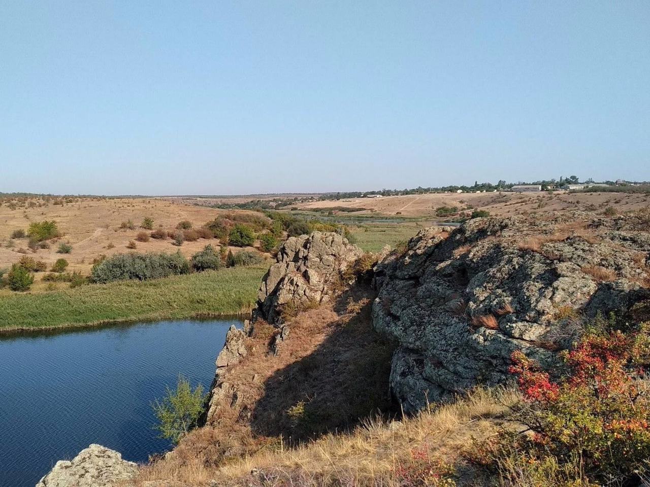
The Priinhulsky Regional Landscape Park attracts with its granite outcrops "Shore of Stone Chimeras". The Stepok tract with a virgin area of fescue-feathergrass steppe is a botanical natural monument of national importance.
Here are such historical and cultural monuments as the Pelaheivsky monastery and the Tropinin estate in Sofiyivka.
The administrative center of Bashtanskyi district is the city of Bashtanka. The area of the district is almost 6715 square kilometers. The population of the district reaches 140 thousand people ...
Bashtanka district (Bashtanskyi) is located in the eastern part of the Mykolaiv region, in the historical and ethnographic territories of the Black Sea coast and the Middle Dnipro. The Inhul and Inhulets rivers flow within the district.
The Priinhulsky Regional Landscape Park attracts with its granite outcrops "Shore of Stone Chimeras". The Stepok tract with a virgin area of fescue-feathergrass steppe is a botanical natural monument of national importance.
Here are such historical and cultural monuments as the Pelaheivsky monastery and the Tropinin estate in Sofiyivka.
The administrative center of Bashtanskyi district is the city of Bashtanka. The area of the district is almost 6715 square kilometers. The population of the district reaches 140 thousand people.
The Bashtanka district includes 279 settlements, which are united into 12 territorial hromadas: Bashtanska, Novobuzka and Snihurivska city hromadas, Bereznehuvatska and Kazankivska settlement hromadas, Inhulska, Pryvilnenska, Volodymyrivska, Vilnozaporizka, Sofiivska, Horokhivska and Shyrokivska village territorial hromadas.
Баштанський район розташований у східній частині Миколаївської області, на історико-етнографічних територіях Причорномор'я і Середнього Подніпров'я. В межах району протікають річки Інгул та Інгулець.
Приінгульський регіональний ландшафтний парк приваблює гранітним відслоненням "Берег кам'яних химер". Урочище "Степок" із цілинною ділянкою типчаково-ковилового степу є ботанічною пам'яткою природи загальнодержавного значення.
Тут розташовані такі історико-культурні пам'ятки, як Пелагеївський монастир та садиба Тропініна в Софіївці.
Адміністративним центром Баштанського району є місто Баштанка. Площа території району становить майже 6715 квадратних кілометрів. Чисельність населення району сягає 140 тисяч осіб.
До складу Баштанс ...
Баштанський район розташований у східній частині Миколаївської області, на історико-етнографічних територіях Причорномор'я і Середнього Подніпров'я. В межах району протікають річки Інгул та Інгулець.
Приінгульський регіональний ландшафтний парк приваблює гранітним відслоненням "Берег кам'яних химер". Урочище "Степок" із цілинною ділянкою типчаково-ковилового степу є ботанічною пам'яткою природи загальнодержавного значення.
Тут розташовані такі історико-культурні пам'ятки, як Пелагеївський монастир та садиба Тропініна в Софіївці.
Адміністративним центром Баштанського району є місто Баштанка. Площа території району становить майже 6715 квадратних кілометрів. Чисельність населення району сягає 140 тисяч осіб.
До складу Баштанського району входять 279 населених пунктів, які об'єднані у 12 територіальних громад: Баштанська, Новобузька, Снігурівська міські, Березнегуватська, Казанківська селищні, Інгульська, Привільненська, Володимирівська, Вільнозапорізька, Софіївська, Горохівська, Широківська сільські територіальні громади.


