Functional temporarily unavailable
Cities and villages of Konotop district
Online travel guide to the settlements of Konotop district
General information about Konotop district
Konotop district (Konotopskyi) is located in the central part of Sumy region, in the historical and ethnographic region of Slobozhanshchina. The Seim River flows within the district.
The nature of the floodplain of the Seim is protected by the Seim Regional Landscape Park, which includes a natural monument of national importance "Boromlya Tract".
The administrative center of Konotopskyi district is the city of Konotop, where there is an interesting Ascension Cathedral and the museum-manor of General Dragomirov. A monument was erected near Konotop on the site of the Battle of Konotop. A complex of ancient religious buildings has been preserved in the historic Putivl, including the Molchensky Pechersk Monastery of the Nativity of the Mother of God, the Holy Spirit Mo ...
Konotop district (Konotopskyi) is located in the central part of Sumy region, in the historical and ethnographic region of Slobozhanshchina. The Seim River flows within the district.
The nature of the floodplain of the Seim is protected by the Seim Regional Landscape Park, which includes a natural monument of national importance "Boromlya Tract".
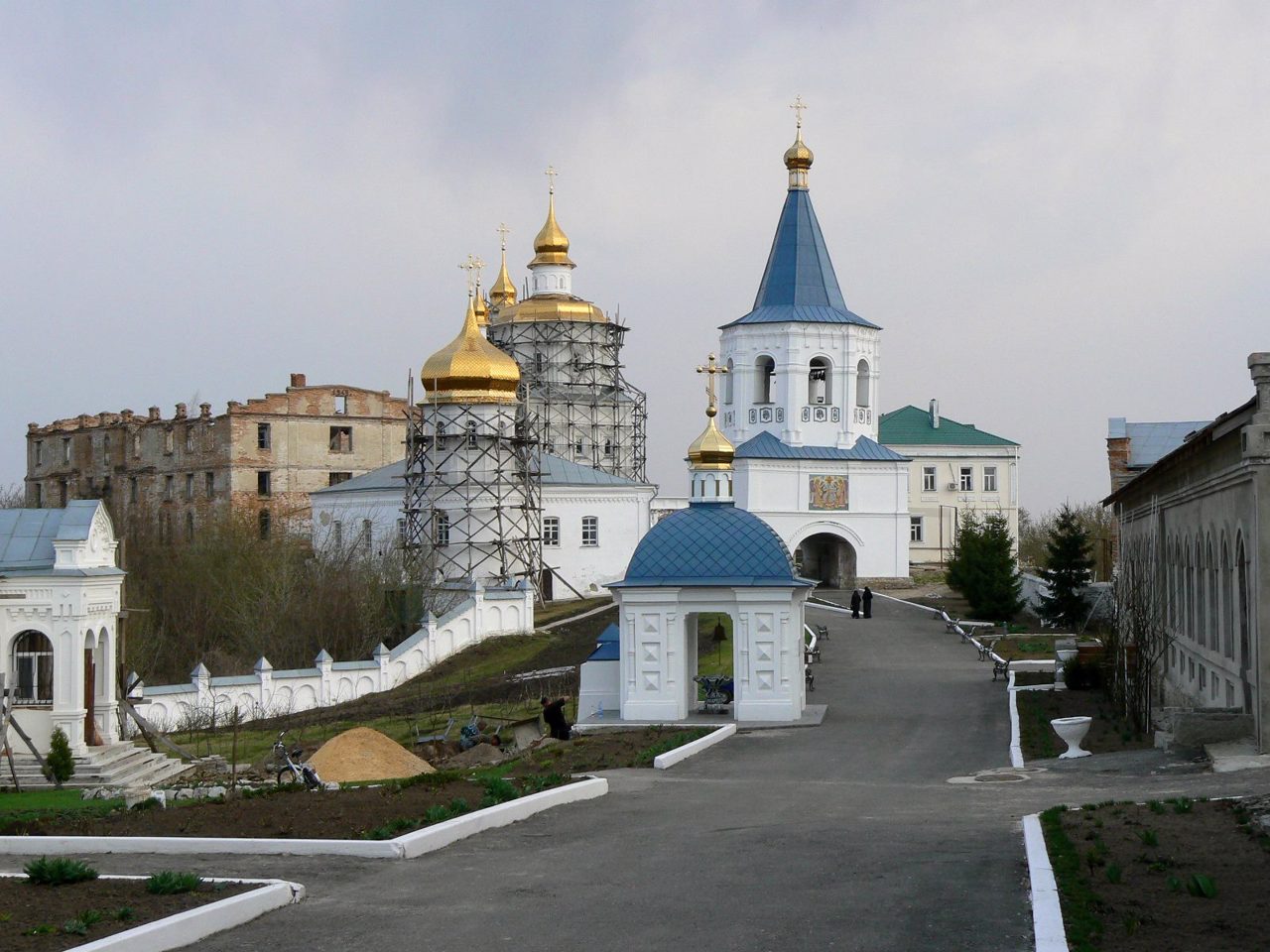
The administrative center of Konotopskyi district is the city of Konotop, where there is an interesting Ascension Cathedral and the museum-manor of General Dragomirov. A monument was erected near Konotop on the site of the Battle of Konotop. A complex of ancient religious buildings has been preserved in the historic Putivl, including the Molchensky Pechersk Monastery of the Nativity of the Mother of God, the Holy Spirit Monastery and the Church of Mykola Kozatsky. Nearby is the Sofronievo-Molchensky convent. The city of Krolevets attracts with the traditions of folk art, which are preserved by the Museum of Krolevets weaving, as well as the unique natural monument "Apple-colony".
The area of the district is more than 5190 square kilometers. The population of the district reaches 204 thousand people.
Konotop district includes 311 settlements, which are united into 8 territorial hromadas: Konotopska, Burynska, Krolevetska and Putyvlska city hromadas, Duboviazivska settlement hromadas and Bochechkivska, Popivska and Novoslobidska village territorial hromadas.
Конотопський район розташований у центральній частині Сумській області, в історико-етнографічному регіоні Слобожанщини. В межах району протікає річка Сейм.
Природу заплави Сейму охороняє Сеймський регіональний ландшафтний парк, що включає пам'ятку природи загальнодержавного значення "Урочище Боромля".
Адміністративним центром Конотопського району є місто Конотоп, де є цікавий Вознесенський собор і музей-садиба генерала Драгомирова. Поблизу Конотопа встановлено пам'ятник на місці Конотопської битви. В історичному Путивлі зберігся комплекс давніх культових споруд, серед яких Молченський печерський монастир Різдва Богородиці, Святодухівський монастир та церква Миколи Козацького. Неподалік знаходиться Софронієво-Молченський чоловічий монастир. Місто Кролевець п ...
Конотопський район розташований у центральній частині Сумській області, в історико-етнографічному регіоні Слобожанщини. В межах району протікає річка Сейм.
Природу заплави Сейму охороняє Сеймський регіональний ландшафтний парк, що включає пам'ятку природи загальнодержавного значення "Урочище Боромля".
Адміністративним центром Конотопського району є місто Конотоп, де є цікавий Вознесенський собор і музей-садиба генерала Драгомирова. Поблизу Конотопа встановлено пам'ятник на місці Конотопської битви. В історичному Путивлі зберігся комплекс давніх культових споруд, серед яких Молченський печерський монастир Різдва Богородиці, Святодухівський монастир та церква Миколи Козацького. Неподалік знаходиться Софронієво-Молченський чоловічий монастир. Місто Кролевець приваблює традиціями народного мистецтва, які береже Музей кролевецького ткацтва, а також унікальною пам'яткою природи "Яблуня-колонія".
Площа території району становить понад 5190 квадратних кілометрів. Чисельність населення району сягає 204 тисяч осіб.
До складу Конотопського району входять 311 населених пунктів, які об'єднані у 8 територіальних громад: Конотопська, Буринська, Кролевецька, Путивльська міські, Дубов'язівська селищна та Бочечківська, Попівська і Новослобідська сільські територіальні громади.


