Functional temporarily unavailable
Settlements
Sumy region
Cities and villages of
Sumy
region
Online travel guide to the settlements of
Sumy
region

Districts of Sumy region
Konotop district
Konotop district (Konotopskyi) is located in the central part of Sumy region, in the historical and ethnographic region of Slobozhanshchina. The Seim River flows within the district.
The nature of the floodplain of the Seim is protected by the Seim Regional Landscape Park, which includes a natural monument of national importance "Boromlya Tract".
The ad... Read more
Konotop district (Konotopskyi) is located in the central part of Sumy region, in the historical and ethnographic region of Slobozhanshchina. The Seim River flows within the district.
The nature of the floodplain of the Seim is protected by the Seim Regional Landscape Park, which includes a natural monument of national importance "Boromlya Tract".
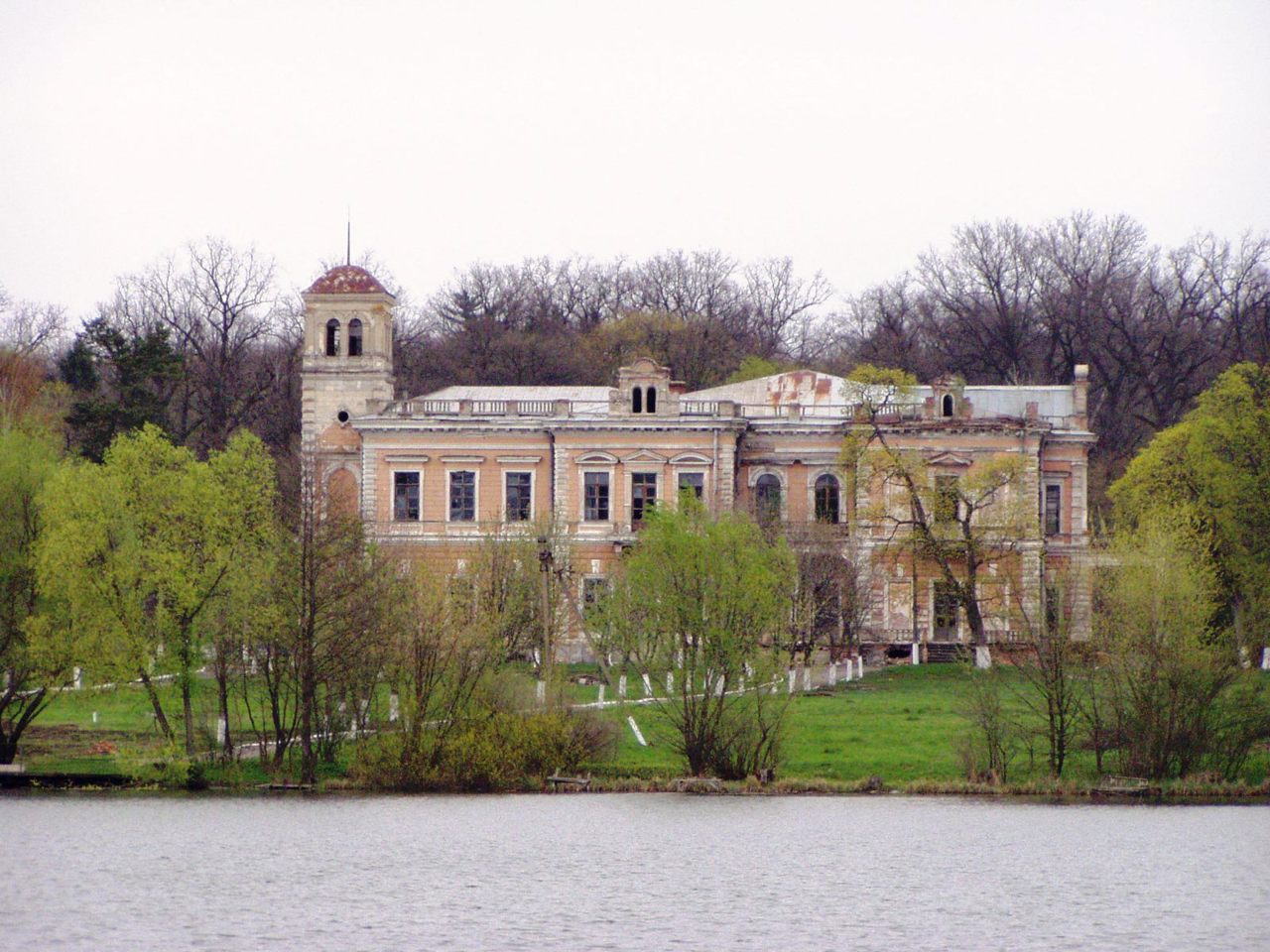
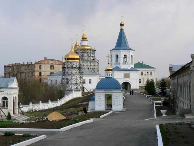
The administrative center of Konotopskyi district is the city of Konotop, where there is an interesting Ascension Cathedral and the museum-manor of General Dragomirov. A monument was erected near Konotop on the site of the Battle of Konotop. A complex of ancient religious buildings has been preserved in the historic Putivl, including the Molchensky Pechersk Monastery of the Nativity of the Mother of God, the Holy Spirit Monastery and the Church of Mykola Kozatsky. Nearby is the Sofronievo-Molchensky convent. The city of Krolevets attracts with the traditions of folk art, which are preserved by the Museum of Krolevets weaving, as well as the unique natural monument "Apple-colony".
The area of the district is more than 5190 square kilometers. The population of the district reaches 204 thousand people.
Konotop district includes 311 settlements, which are united into 8 territorial hromadas: Konotopska, Burynska, Krolevetska and Putyvlska city hromadas, Duboviazivska settlement hromadas and Bochechkivska, Popivska and Novoslobidska village territorial hromadas.
Okhtyrka district
Okhtyrka district (Okhtyrskyi) is located in the southern part of Sumy region, in the historical and ethnographic region of Slobozhanshchyna. The Vorskla River flows within the district.
The nature of the Vorskla floodplain is protected by the Hetman National Nature Park with the Litovsky Bir tract and the Bakirovsky hydrological reserve.
The administrative cente... Read more
Okhtyrka district (Okhtyrskyi) is located in the southern part of Sumy region, in the historical and ethnographic region of Slobozhanshchyna. The Vorskla River flows within the district.
The nature of the Vorskla floodplain is protected by the Hetman National Nature Park with the Litovsky Bir tract and the Bakirovsky hydrological reserve.
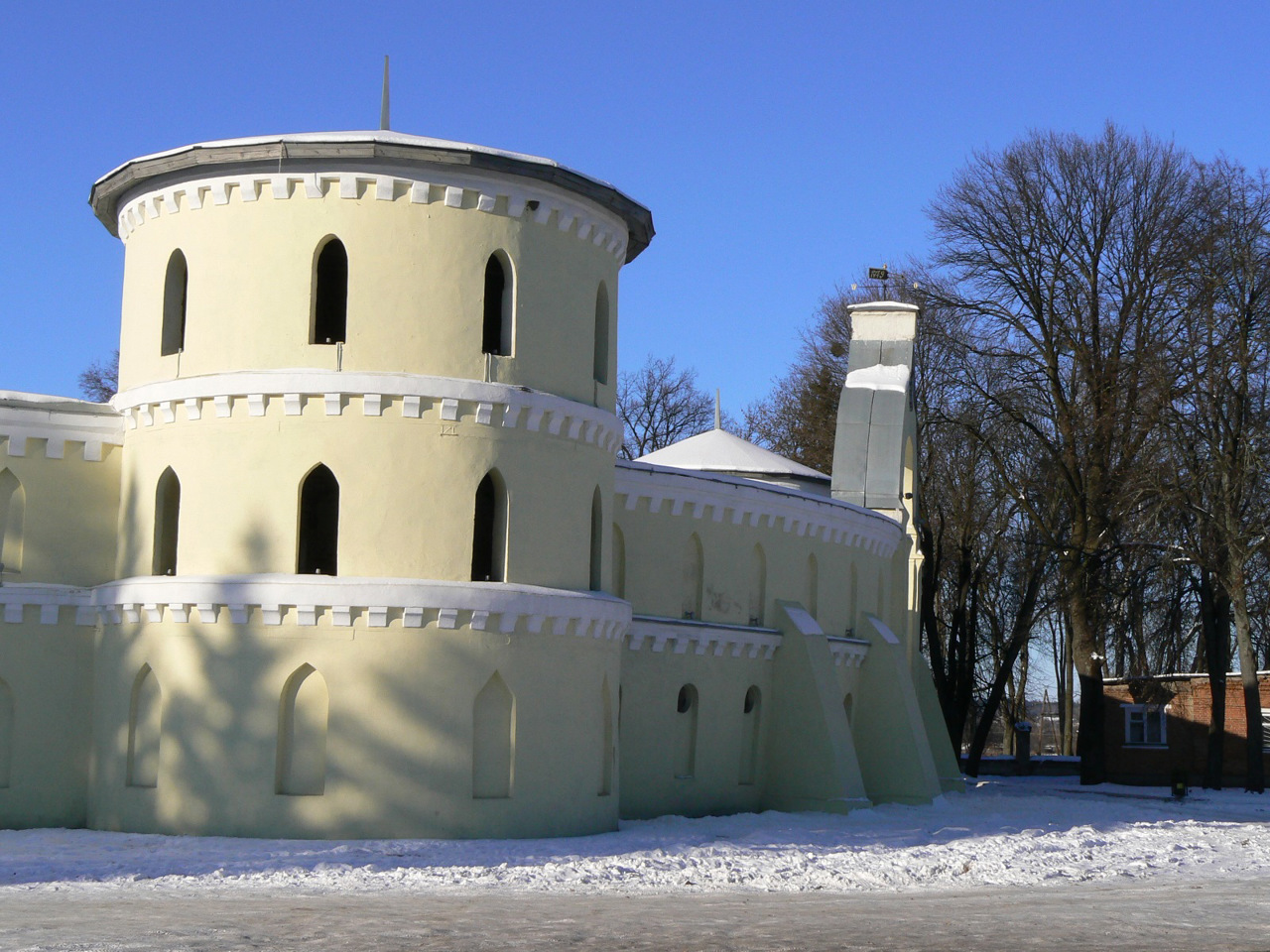
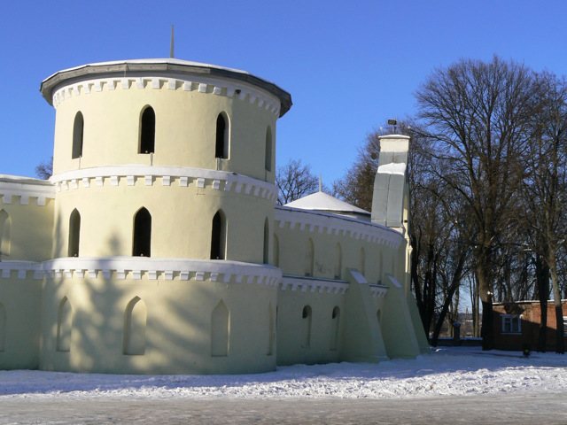
The administrative center of Okhtyrskyi district is the city of Okhtyrka, where the Intercession Cathedral, the Church of the Transfiguration, the Church of the Nativity of Christ, the Church of the Archangel Michael and other churches are located. But the main tourist center of the district is the city of Trostyanets, which attracts such historical and cultural monuments as the estate "Round Yard", Holitsyn Palace, Chocolate Museum, arboretum "Neskuchne". Several major festivals are held here every year.
The area of the district is 3197 square kilometers. The population of the district exceeds 125 thousand people.
Okhtyrka district includes 185 settlements, which are united into 9 territorial hromadas: Okhtyrska and Trostianetska city hromadas, Velykopysarivska, Kyrykivska and Chupakhivska settlement hromadas, Boromlianska, Hrunska, Komyshanska and Chernechchynska village territorial hromadas.
Romny district
Romny district (Romenskyi) is located in the central part of Sumy region, in the historical and ethnographic region of Slobozhanshchina. The Sula River flows within the district.
The administrative center of Romenskyi district is the city of Romny. There are such historical and cultural monuments as the Holy Spirit Cathedral, the Church of the Ascension, the buildings ... Read more
Romny district (Romenskyi) is located in the central part of Sumy region, in the historical and ethnographic region of Slobozhanshchina. The Sula River flows within the district.
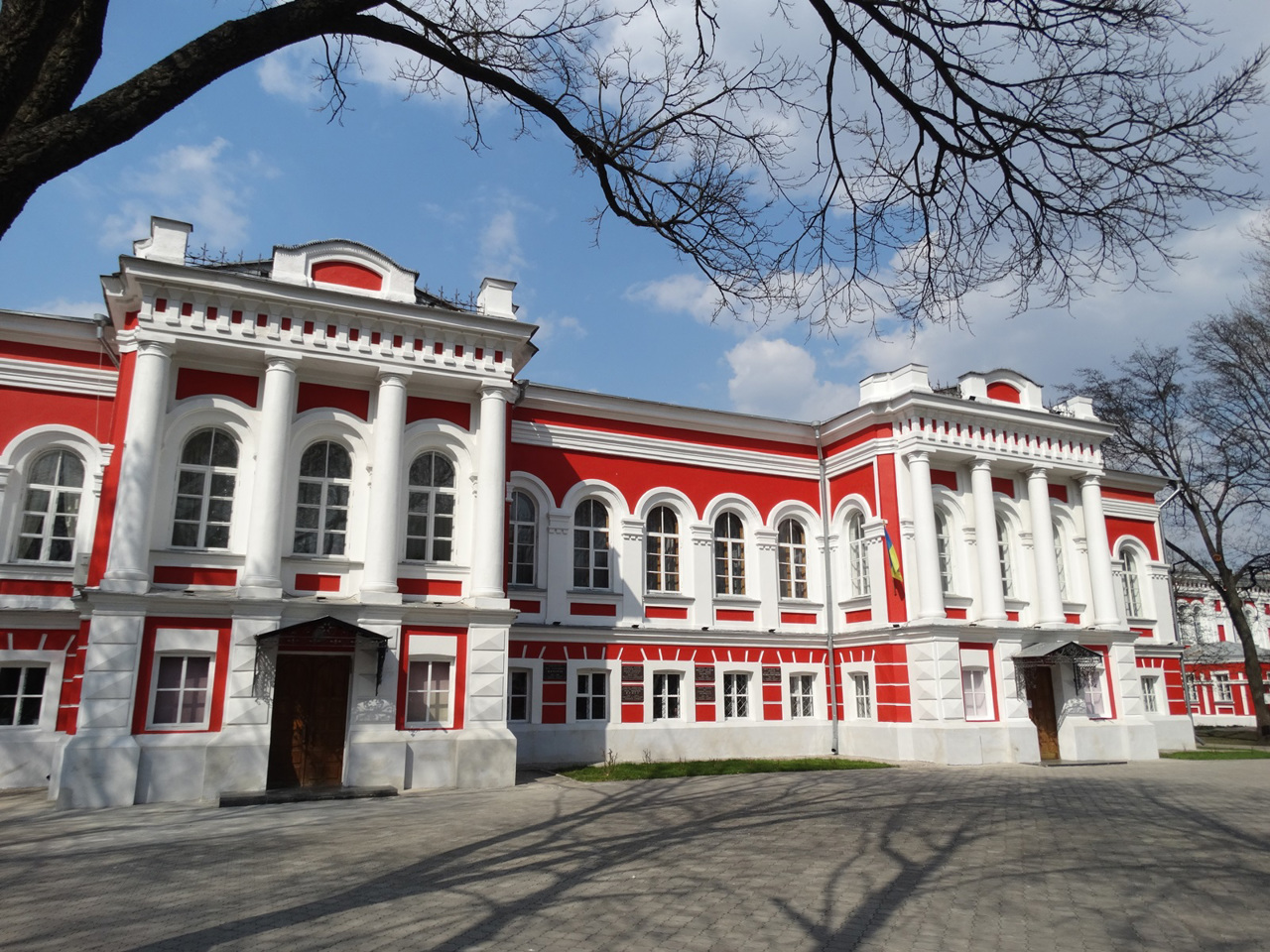
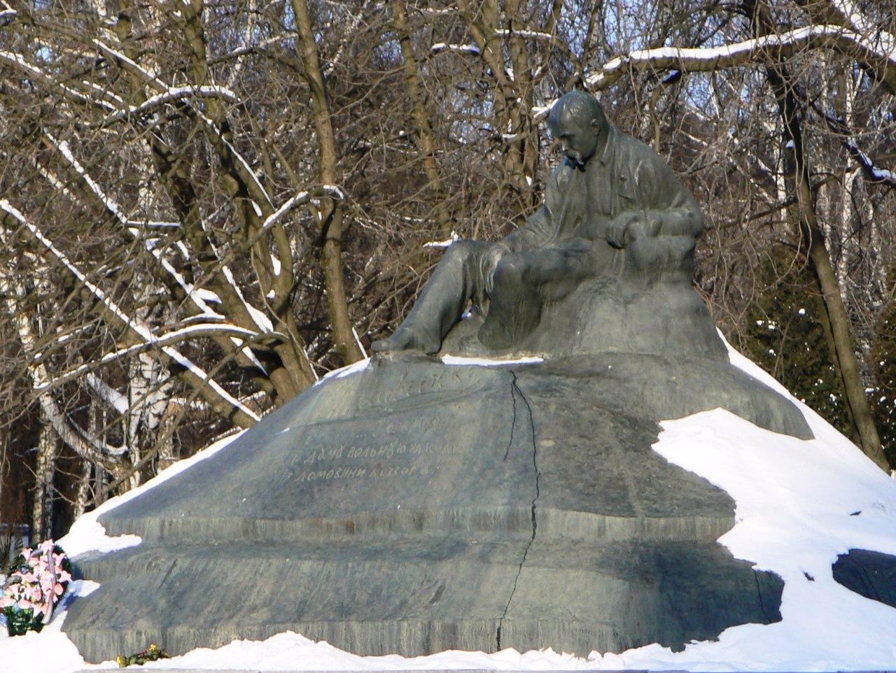
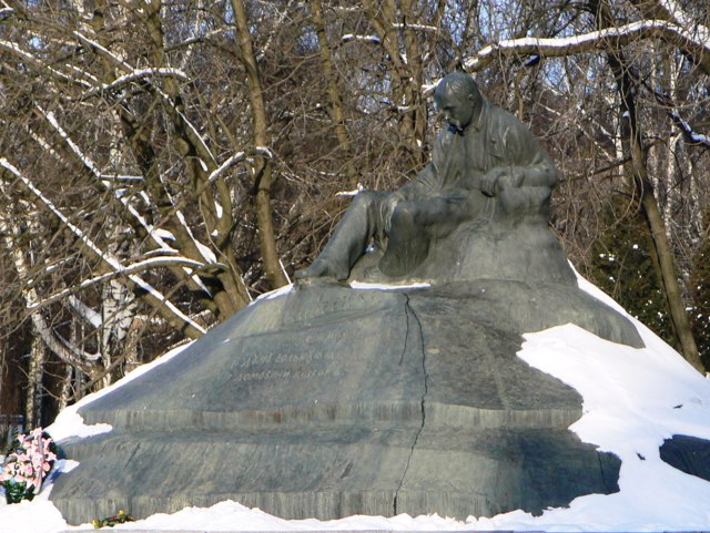
The administrative center of Romenskyi district is the city of Romny. There are such historical and cultural monuments as the Holy Spirit Cathedral, the Church of the Ascension, the buildings of the former real, city and theological schools, women's gymnasium, other old administrative and residential buildings, as well as the first full-size monuments in Ukraine to Taras Shevchenko.
The area of the district is over 3880 square kilometers. The population of the district reaches 114 thousand people.
The Romny district consists of 297 settlements, which are united into 8 territorial hromadas: Romenska city hromada, Lypovodolynska and Nedryhailivska settlements hromadas, Andriiashivska, Vilshanska, Korovynska, Synivska and Khmelivska village territorial hromadas.
Shostka district
Shostka district (Shostkynskyi) is located in the northern part of Sumy region, at the intersection of historical and ethnographic regions of Polissya, Sivershchyna and Slobozhanshchyna. Along the western border of the district the river Desna flows.
Lakes Velyki and Mali Bahy in the Desna floodplain and part of the Starohutsky forest are part of the Desnyansko-Starohu... Read more
Shostka district (Shostkynskyi) is located in the northern part of Sumy region, at the intersection of historical and ethnographic regions of Polissya, Sivershchyna and Slobozhanshchyna. Along the western border of the district the river Desna flows.
Lakes Velyki and Mali Bahy in the Desna floodplain and part of the Starohutsky forest are part of the Desnyansko-Starohutsky National Nature Park. The Prudishche Regional Landscape Park is also located within the district.
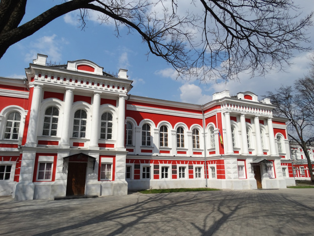
The main tourist center of the district is the historic city of Hlukhiv, the former capital of the Hetmanate and the residence of the Tereshchenko family. Here are such historical and cultural monuments as the Mykolaivska Church of the Cossack times, the Three-Anastasievska Church-Tomb of Tereshchenko, the Church of the Transfiguration, Hlukhiv National Pedagogical University named after Oleksandr Dovzhenko, Hlukhiv Water Tower. The Kyiv Gate of the Hlukhiv Fortress is part of the Hlukhiv National Reserve. Nearby is the Nativity of the Virgin Stavropyhsky Monastery "Hlynska Pustyn".
The administrative center of Shostkynskyi district is the industrial city of Shostka, which is now known mainly for the products of Shostka cheese factory. Nearby are the Hamaliievsky (Kharalampievsky) monastery (now a penal colony) and St. Michael's Church in Voronezh.
The area of the district is more than 5072 square kilometers. The population of the district reaches 188 thousand people.
Shostka district consists of 247 settlements, which are united in 10 territorial hromadas: Shostkynska, Hlukhivska, Druzhbivska and Seredyno-Budska city hromadas, Esmanska, Znob-Novhorodska, Sveska, Shalyhynska, Yampilska and Berezivska village territorial hromadas.
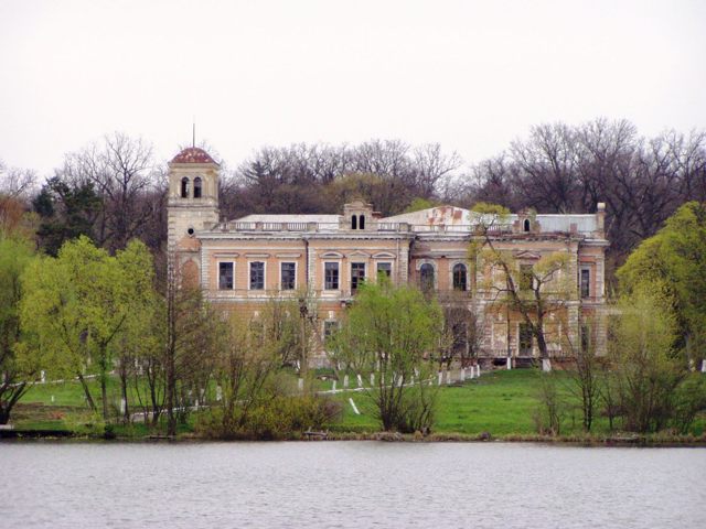
Sumy district
Sumy district (Sumskyi) is located in the central part of Sumy region, in the historical and ethnographic region of Slobozhanshchyna. The river Psel flows within the district.
Here is the steppe nature reserve "Mikhailovska virgin land". Lake Shelekhivske is a natural monument of national importance.
The administrative center of Sumskyi district is the ... Read more
Sumy district (Sumskyi) is located in the central part of Sumy region, in the historical and ethnographic region of Slobozhanshchyna. The river Psel flows within the district.
Here is the steppe nature reserve "Mikhailovska virgin land". Lake Shelekhivske is a natural monument of national importance.
The administrative center of Sumskyi district is the regional center, the city of Sumy. Here are such historical and cultural monuments as the Transfiguration Cathedral, Trinity Cathedral, the Church of the Resurrection, the Church of St. Elijah, the former palaces and estates of wealthy townspeople. Important centers of culture are the house-museum of Anton Chekhov, Sumy Regional Museum of Local Lore and Sumy Art Museum named after Nikanor Onatsky. Sumy Dendrological Park has the status of an arboretum of national importance. Within the district there are also Kiyanytsya Park-monument with the Leszczynski Palace, the Tchaikovsky and Ukraine Museum in Nizy, the Mykolayiv Monastery in Myropillya, etc.
The area of the district is almost 6500 square kilometers. The population of the district reaches 450 thousand people.
Sumy district includes 450 settlements, which are united in 16 territorial hromadas: Sumska, Bilopilska, Vorozhbianska and Lebedynska city hromadas, Krasnopilska, Mykolaivska, Stepanivska and Khotinska settlement hromadas, Bezdrytska, Verkhnosyrovatska, Mykolaivska, Myropilska, Nyzhnosyrovatska, Richkivska, Sadivska and Yunakivska village territorial hromadas.
