Functional temporarily unavailable
Cities and villages of Dnistrovskyi district
Online travel guide to the settlements of Dnistrovskyi district
General information about Dnistrovskyi district
Dnistrovskyi district is located in the eastern part of Chernivtsi region, in the historical and ethnographic region of Bukovina. The northern border runs along the Dniester River.
The landscapes of the right-bank steep slopes of the Dniester canyon and its right tributaries with deciduous forests are protected by the Khotyn National Nature Park.
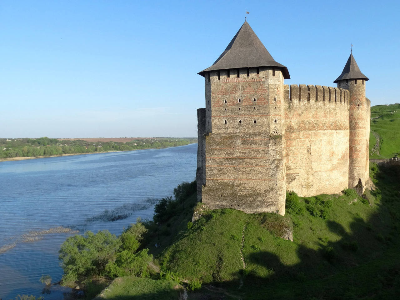
The main historical and cultural monument of the district is the State Historical and Architectural Reserve "Khotyn Fortress", near which the remarkable Battle of Khotyn in 1621 took place. Beautiful landscapes of the Dniester Reservoir open from the terraces of the Halician Pechersk St. Nicholas Monastery in the village of Halytsia.
The administrative center of the Dnistrovskyi district is the village of Kelmentsi. ...
Dnistrovskyi district is located in the eastern part of Chernivtsi region, in the historical and ethnographic region of Bukovina. The northern border runs along the Dniester River.
The landscapes of the right-bank steep slopes of the Dniester canyon and its right tributaries with deciduous forests are protected by the Khotyn National Nature Park.
The main historical and cultural monument of the district is the State Historical and Architectural Reserve "Khotyn Fortress", near which the remarkable Battle of Khotyn in 1621 took place. Beautiful landscapes of the Dniester Reservoir open from the terraces of the Halician Pechersk St. Nicholas Monastery in the village of Halytsia.
The administrative center of the Dnistrovskyi district is the village of Kelmentsi. The area of the district is 2120 square kilometers. The population of the district reaches 160 thousand people.
The Dnistrovskyi district includes 107 settlements, which are united into 10 territorial hromadas: Novodnistrovska, Sokyrianska and Khotynska city hromadas, Kelmenetska settlement hromada, Vashkovetska, Klishkovetska, Livynetska, Mamalyhivska, Nedoboivska and Rukshynska village territorial hromadas.
Дністровський район розташований у східній частині Чернівецької області, в історико-етнографічному регіоні Буковини. Північна межа пролягає по річці Дністер.
Ландшафти правобережних крутосхилів каньйону Дністра та його правих притоків із листяними лісами охороняє Хотинський національний природний парк.
Головною історико-культурною пам'яткою району є Державний історико-архітектурний заповідник "Хотинська фортеця", поблизу якої відбулася визначна Хотинська битва 1621 року. Гарні краєвиди Дністровського водосховища відкриваються з терас Галицького печерського Свято-Миколаївського монастиря в селі Галиця.
Адміністративним центром Дністровського району є смт Кельменці. Площа території району становить 2120 квадратних кілометрів. Чисельність населення району ся ...
Дністровський район розташований у східній частині Чернівецької області, в історико-етнографічному регіоні Буковини. Північна межа пролягає по річці Дністер.
Ландшафти правобережних крутосхилів каньйону Дністра та його правих притоків із листяними лісами охороняє Хотинський національний природний парк.
Головною історико-культурною пам'яткою району є Державний історико-архітектурний заповідник "Хотинська фортеця", поблизу якої відбулася визначна Хотинська битва 1621 року. Гарні краєвиди Дністровського водосховища відкриваються з терас Галицького печерського Свято-Миколаївського монастиря в селі Галиця.
Адміністративним центром Дністровського району є смт Кельменці. Площа території району становить 2120 квадратних кілометрів. Чисельність населення району сягає 160 тисяч осіб.
До складу Дністровського району входять 107 населених пунктів, які об'єднані у 10 територіальних громад: Новодністровська, Сокирянська та Хотинська міські, Кельменецька селищна, Вашковецька, Клішковецька, Лівинецька, Мамалигівська, Недобоївська та Рукшинська сільські територіальні громади.


