Functional temporarily unavailable
Cities and villages of Khmelnytskyi district
Online travel guide to the settlements of Khmelnytskyi district
General information about Khmelnytskyi district
Khmelnytskyi district is located in the central part of Khmelnytskyi region, in the historical and ethnographic region of Podillya. The western border runs along the river Zbruch.
On the territory of the Verkhne Pobuzhzhya National Nature Park, the second longest river in Ukraine, the Southern Bug, originates within the district, and the Sluch River also flows here. Part of the Podilsky Tovtry National Nature Park is the Satanivsky Forest Reserve, where one of the massifs of Beech virgin forests of the Carpathians, which are included in the UNESCO world heritage, is located.
Approximately in this area in ancient times the historical and geographical region Bolokhiv land was located (archeological excavations are carried out on the Hubinsky settlement). On the territory of th ...
Khmelnytskyi district is located in the central part of Khmelnytskyi region, in the historical and ethnographic region of Podillya. The western border runs along the river Zbruch.
On the territory of the Verkhne Pobuzhzhya National Nature Park, the second longest river in Ukraine, the Southern Bug, originates within the district, and the Sluch River also flows here. Part of the Podilsky Tovtry National Nature Park is the Satanivsky Forest Reserve, where one of the massifs of Beech virgin forests of the Carpathians, which are included in the UNESCO world heritage, is located.
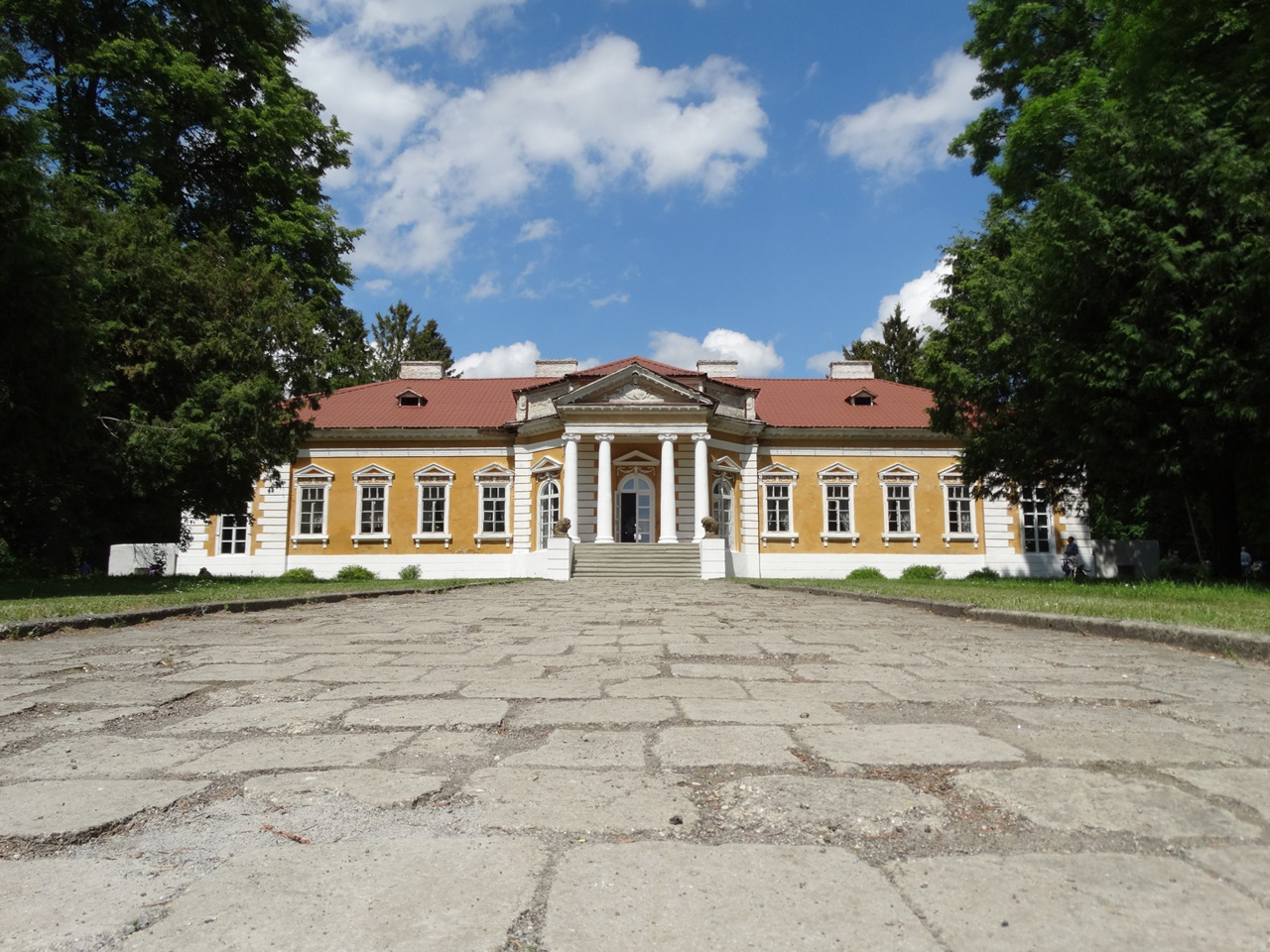
Approximately in this area in ancient times the historical and geographical region Bolokhiv land was located (archeological excavations are carried out on the Hubinsky settlement). On the territory of the district there are such historical and cultural monuments as the State Historical and Cultural Reserve "Mezhybizh", the State Historical and Cultural Reserve "Samchyky", Ostroh Castle in Starokostiantynivsky, Satanivsky Castle and Synagogue in Sataniv, Dominican Monastery and Church of the Assumption Letychiv, Holy Intercession Church-fortress in Sutkivtsi. The village of Zinkiv is famous for its original embroidered shirt, craft bread and black Zinkivska sausages.
Khmelnytskyi district is one of the largest in Ukraine. Its area exceeds 10,755 square kilometers. The population of the district reaches 687 thousand people. The administrative center of the district is the city of Khmelnytskyi, an important transport and trade center.
Khmelnytskyi district includes a record 749 settlements within 27 territorial hromadas: Volochyska, Horodotska, Derazhnianska, Krasylivska, Starokostiantynivska and Khmelnytska city hromadas, Antoninska, Viitovetska, Vinkovetska, Vovkovynetska, Letychivska, Narkevytska, Medzhybizka, Satanivska, Starosyniavska, Teofipolska, Chornoostrivska and Yarmolynetska settlement hromadas, Hvardiiska, Zasluchnenska, Zinkivska, Lisovohrynivetska, Myroliubnenska, Rozsoshanska, Solobkovetska, Staroostropilska and Shchyborivska village territorial hromadas.
Хмельницький район розташований у центральній частині Хмельницької області, в історико-етнографічному регіоні Поділля. Західна межа пролягає по річці Збруч.
На території Національного природного парку "Верхнє Побужжя" в межах району бере початок друга за довжиною річка України Південний Буг, також тут протікає річка Случ. Частиною Національного природного парку "Подільські Товтри" є Сатанівський лісовий заказник, де розташований один з масивів Букових пралісів Карпат, що включені у світову спадщину ЮНЕСКО.
Приблизно в цьому районі в давньоруські часи розташовувалася історико-географічна область Болохівська земля (археологічні розкопки ведуться на Губинському городищі). На території району розташовані такі історико-культурні пам'ятки, як Державний істо ...
Хмельницький район розташований у центральній частині Хмельницької області, в історико-етнографічному регіоні Поділля. Західна межа пролягає по річці Збруч.
На території Національного природного парку "Верхнє Побужжя" в межах району бере початок друга за довжиною річка України Південний Буг, також тут протікає річка Случ. Частиною Національного природного парку "Подільські Товтри" є Сатанівський лісовий заказник, де розташований один з масивів Букових пралісів Карпат, що включені у світову спадщину ЮНЕСКО.
Приблизно в цьому районі в давньоруські часи розташовувалася історико-географічна область Болохівська земля (археологічні розкопки ведуться на Губинському городищі). На території району розташовані такі історико-культурні пам'ятки, як Державний історико-культурний заповідник "Межибіж", Державний історико-культурний заповідник "Самчики", замок Острозьких у Старокостянтинові, Сатанівський замок і синагога у Сатанові, Домініканський монастир та костел Успіння Богородиці в Летичеві, Покровська церква-фортеця в Сутківцях. Село Зіньків славиться своєю самобутньою вишиванкою, крафтовим хлібом і чорними зіньківськими ковбасами.
Хмельницький район є одним із найбільших в Україні. Площа його території перевищує 10755 квадратних кілометрів. Чисельність населення району сягає 687 тисяч осіб. Адміністративним центром району є місто Хмельницький, важливий транспортний і торговельний центр.
До Хмельницького району входять рекордні 749 населених пунктів у складі 27 територіальних громад: Волочиської, Городоцької, Деражнянської, Красилівської, Старокостянтинівської та Хмельницької міських, Антонінської, Війтовецької, Віньковецької, Вовковинецької, Летичівської, Наркевицької, Меджибізької, Сатанівської, Старосинявської, Теофіпольської, Чорноострівської та Ярмолинецької селищних, Гвардійської, Заслучненської, Зіньківської, Лісовогринівецької, Миролюбненської, Розсошанської, Солобковецької, Староостропільської та Щиборівської сільських територіальних громад.


