Functional temporarily unavailable
General information about Roztoky
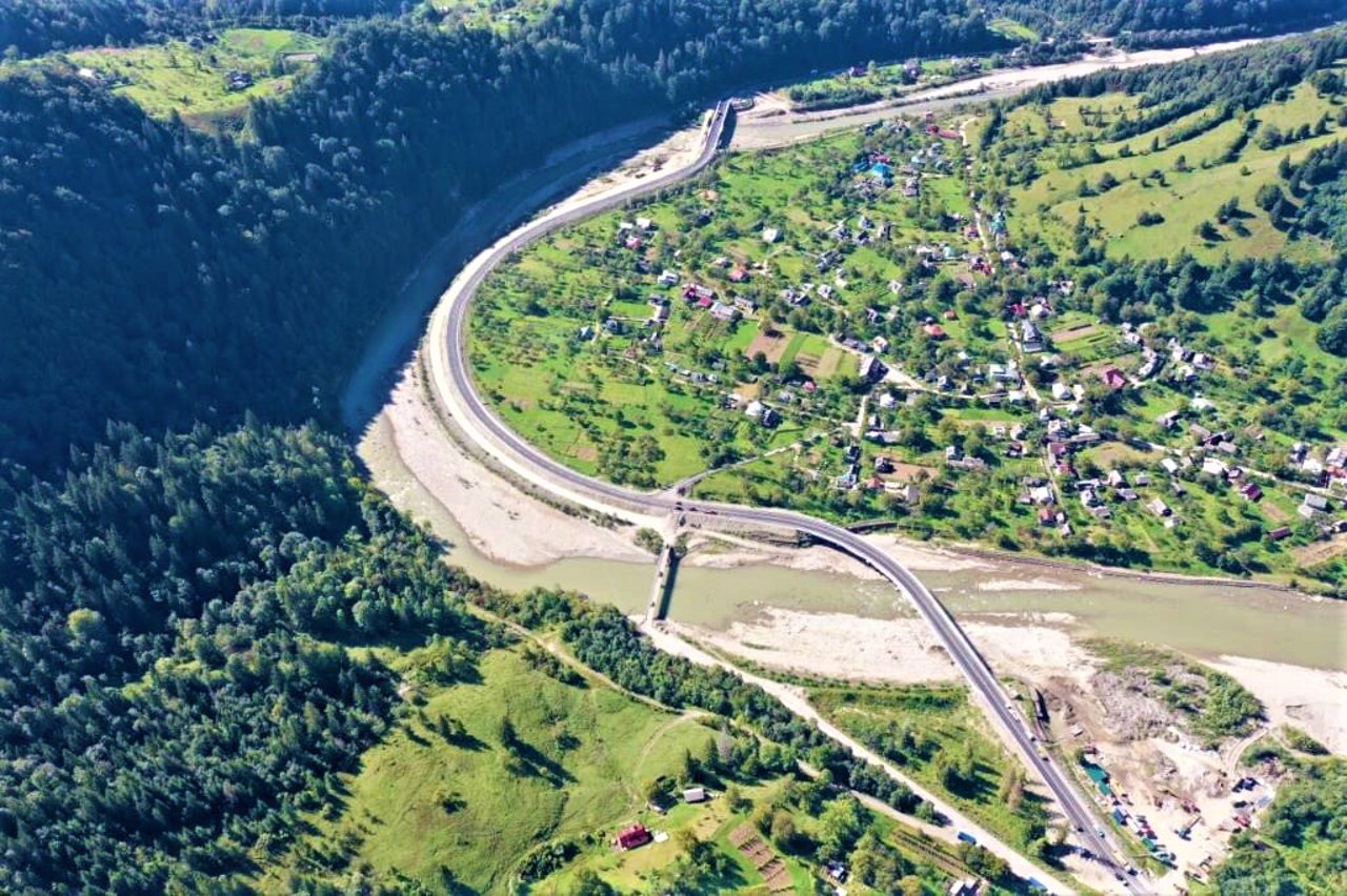
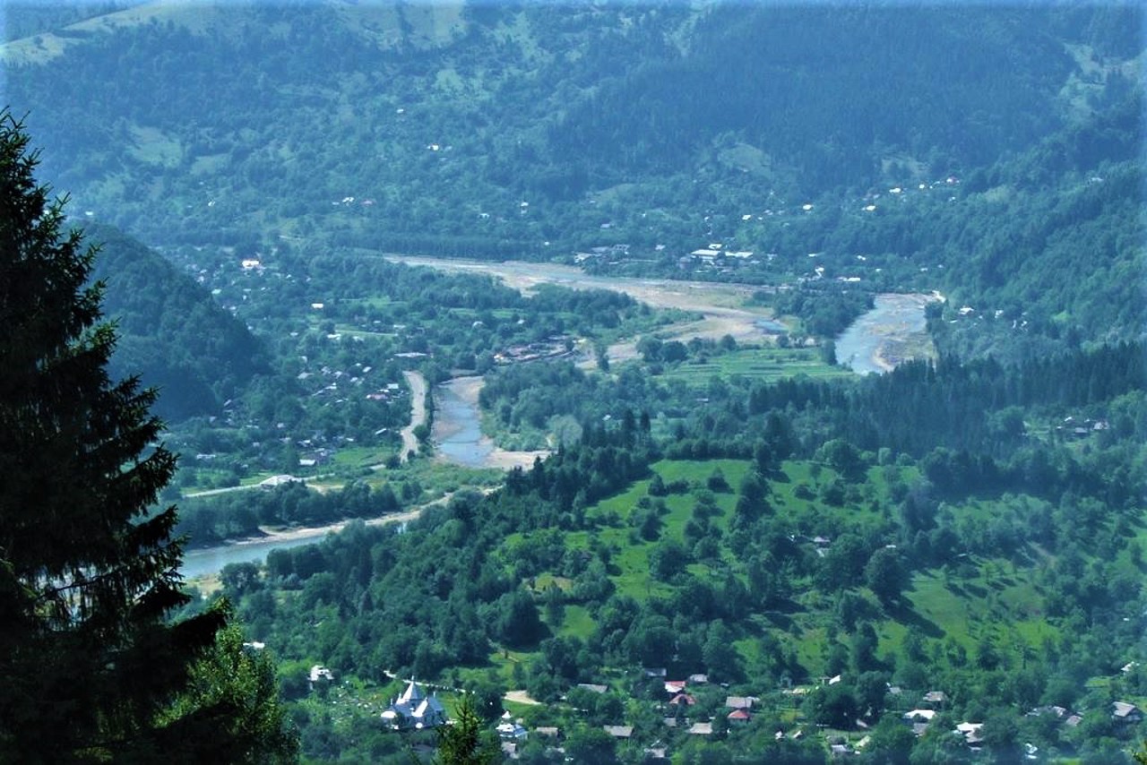
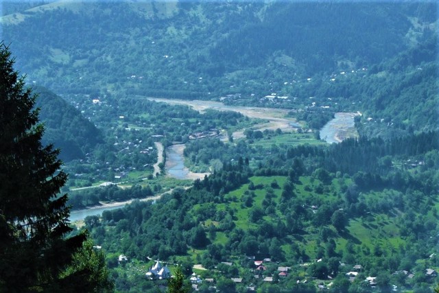
The village of Roztoky is located among the mountains on the banks of the Cheremosh River.
Known since 1496, when it was part of the Moldavian Principality. Since 1775, it has been part of the Austrian monarchy. In 1918, the village was occupied by Romania. Since 1940 - by the Soviet Union. In 1941, Romania restored its occupying power in Roztoky, but only until 1944.
The wooden Church of the Assumption was built in 1846.
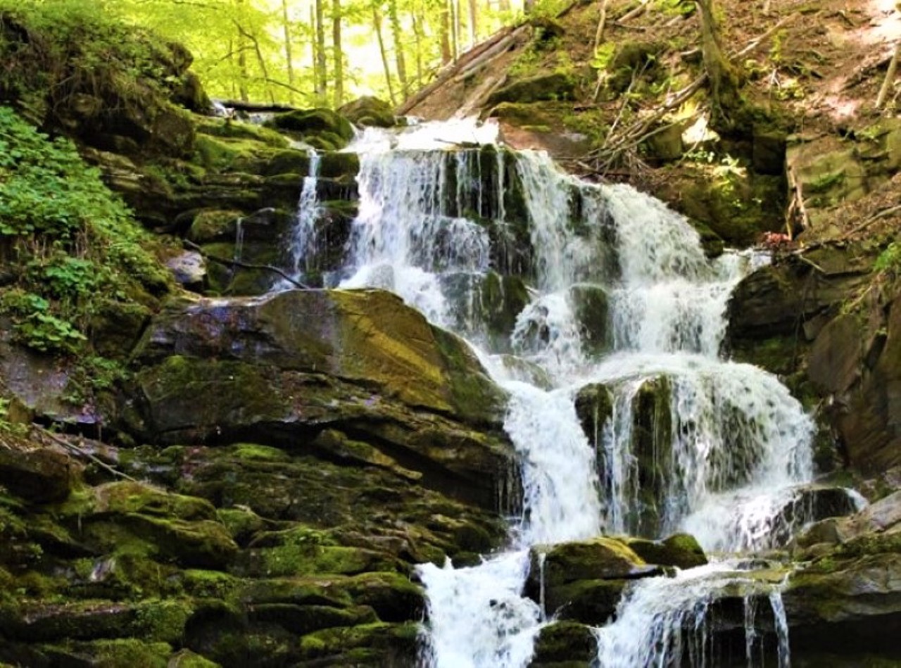
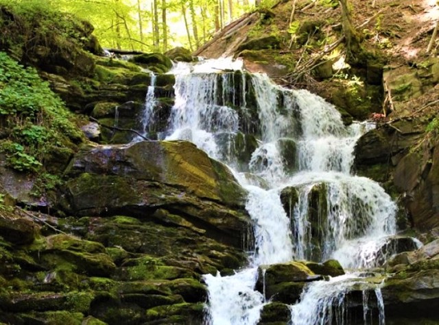
On the Smuhariv (Smuhar) River, on the outskirts of the village, there is a picturesque cascade of the Bukovyna Waterfalls.
Село Розтоки розташоване серед гір на березі річки Черемош.
Відоме з 1496 року, коли воно входило до складу Молдавського князівства. З 1775 року перебувало у складі Австрійської монархії. В 1918 році село було окуповане Румунією. З 1940 року - Радянським Союзом. В 1941 році Румунія відновила свою окупаційну владу в Розтоках, але лише до 1944 року.
Дерев'яна Успенська церква збудована в 1846 році.
На річці Смугарів (Смугар) на околиці села знаходиться мальовничий каскад Буковинських водоспадів.
Сплануй своє перебування у Roztoky
What to see and where to go in Roztoky
Tourist attractions and museums of Roztoky
Pierced Stones (Hawkeye)
Natural object
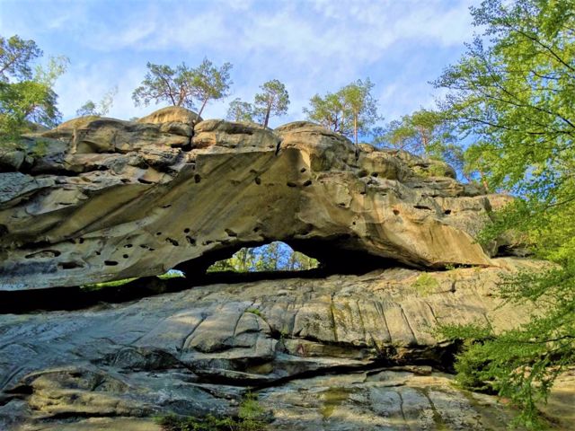
The group of rocks in the Bukovyna Carpathians east of the village of Roztoky, near the Nimchych pass, is called "Pierced Stones".
As a result of weathering, many holes have formed in the 40-meter-high sandstone rocks, they seem to have been perforated.
The most impressive arched rock is Hawkeye - a rare form of karst in the Carpathians. The arch at the top of the rock resembles the shape of eyes, hence the name. At the foot of the rock is a small three-chambered cave.
Bukovyna Waterfalls
Natural object
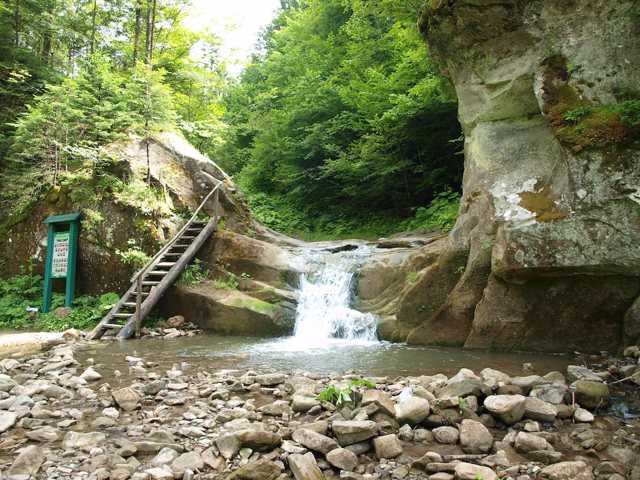
The cascade of Bukovyna waterfalls is located on the mountain river Smuhar, which flows into Cheremosh on the outskirts of the village of Roztoky.
The lower waterfall of the cascade is located within the village, 400 meters from the track. To the largest and most beautiful waterfall Velykiy Huk (18 meters) you need to walk 2.5 kilometers through a gorge along the stream. On the approach to the Velykiy Huk, you will see the waterfalls Kovber (3.5 meters), Sych (10.5 meters), Nizhniy Huk (9 meters), Vorota (3.5 meters) and Seredniy Huk (10.5 meters).
Bukovyna waterfalls are a landscape reserve.
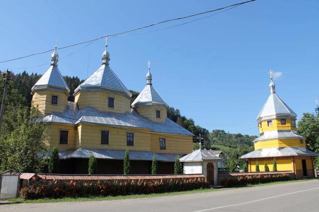
Holy Assumption Church
Temple , Architecture
The wooden Holy Assumption Church in Roztoky was built in 1846. An early example of a three-tiered Bukovyna temple with tall, approximately equal height baths.
The church is painted yellow, the baths are covered with sheet metal.
Examples of carving and painting of the 18th-19th centuries have been preserved in the interior.
Reviews Roztoky
Geographical information about Roztoky
| {{itemKey}} | {{itemValue}} |
|---|---|
| Region |
Chernivtsi |
