Functional temporarily unavailable
Bukovyna Waterfalls, Roztoky
Natural object
General information about Bukovyna Waterfalls (Roztoky)
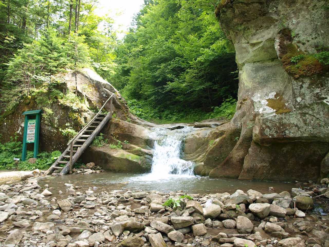
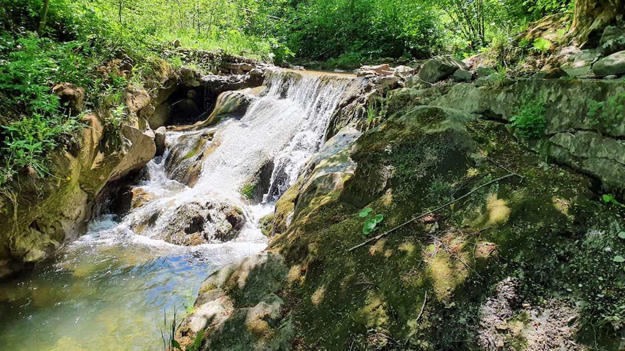
The cascade of Bukovyna waterfalls is located on the mountain river Smuhar, which flows into Cheremosh on the outskirts of the village of Roztoky.
The lower waterfall of the cascade is located within the village, 400 meters from the track. To the largest and most beautiful waterfall Velykiy Huk (18 meters) you need to walk 2.5 kilometers through a gorge along the stream. On the approach to the Velykiy Huk, you will see the waterfalls Kovber (3.5 meters), Sych (10.5 meters), Nizhniy Huk (9 meters), Vorota (3.5 meters) and Seredniy Huk (10.5 meters).
Bukovyna waterfalls are a landscape reserve.
Каскад Буковинських водоспадів розташований на гірській річці Смугар, яка впадає до Черемошу на околиці села Розтоки.
Нижній водоспад каскаду знаходиться в межах села, за 400 метрів від траси. До найбільшого та найкрасивішого водоспаду Великий Гук (18 метрів) потрібно йти 2,5 кілометри через ущелину вздовж потоку. На підході до Великого Гуку ви побачите водоспади Ковбер (3,5 метри), Сич (10,5 метрів), Нижній Гук (9 метрів), Ворота (3,5 метри) та Середній Гук (10,5 метрів).
Буковинські водоспади є ландшафтним заповідником.
Practical information about Bukovyna Waterfalls (Roztoky)
Last update
5/28/2025
| Categories | Natural object |
|---|---|
| Address |
Roztoky |
| Coordinates |
48.1631801° N, 25.1499635° E
|
| Additional services |
Аccessibility information
Have you visited Bukovyna Waterfalls in Roztoky?
Add practical or descriptive information, photos, links
Bukovyna Waterfalls (Roztoky) in photos and videos
What to see, where to go next?


