Functional temporarily unavailable
Respublikanets
Travel guide online Respublikanets
General information about Respublikanets
The village of Respublikanets is located on the right bank of the Kakhovka Reservoir, at the confluence of the Kamyanka River with the Dnipro, 50 kilometers northeast of Nova Kakhovka.
Formally founded in 1920, however, at the beginning of the 18th century, the Kamyanka Zaporozhzhian Sich existed here - the administrative and military center of the Zaporozhzhian Cossacks in 1709-1711 and 1728-1734. It was destroyed for the first time by the order of Tsar Peter I. After temporarily basing Sich near the city of Oleshky, in 1728 the Zaporozhzhians returned to Kamianka, but later were forced to move from Kamyanka Sich to the Pidpilna River, where they founded Nova Sich.
On the territory of Kamyanka Sich in ...
The village of Respublikanets is located on the right bank of the Kakhovka Reservoir, at the confluence of the Kamyanka River with the Dnipro, 50 kilometers northeast of Nova Kakhovka.
Formally founded in 1920, however, at the beginning of the 18th century, the Kamyanka Zaporozhzhian Sich existed here - the administrative and military center of the Zaporozhzhian Cossacks in 1709-1711 and 1728-1734. It was destroyed for the first time by the order of Tsar Peter I. After temporarily basing Sich near the city of Oleshky, in 1728 the Zaporozhzhians returned to Kamianka, but later were forced to move from Kamyanka Sich to the Pidpilna River, where they founded Nova Sich.
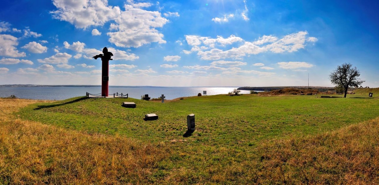
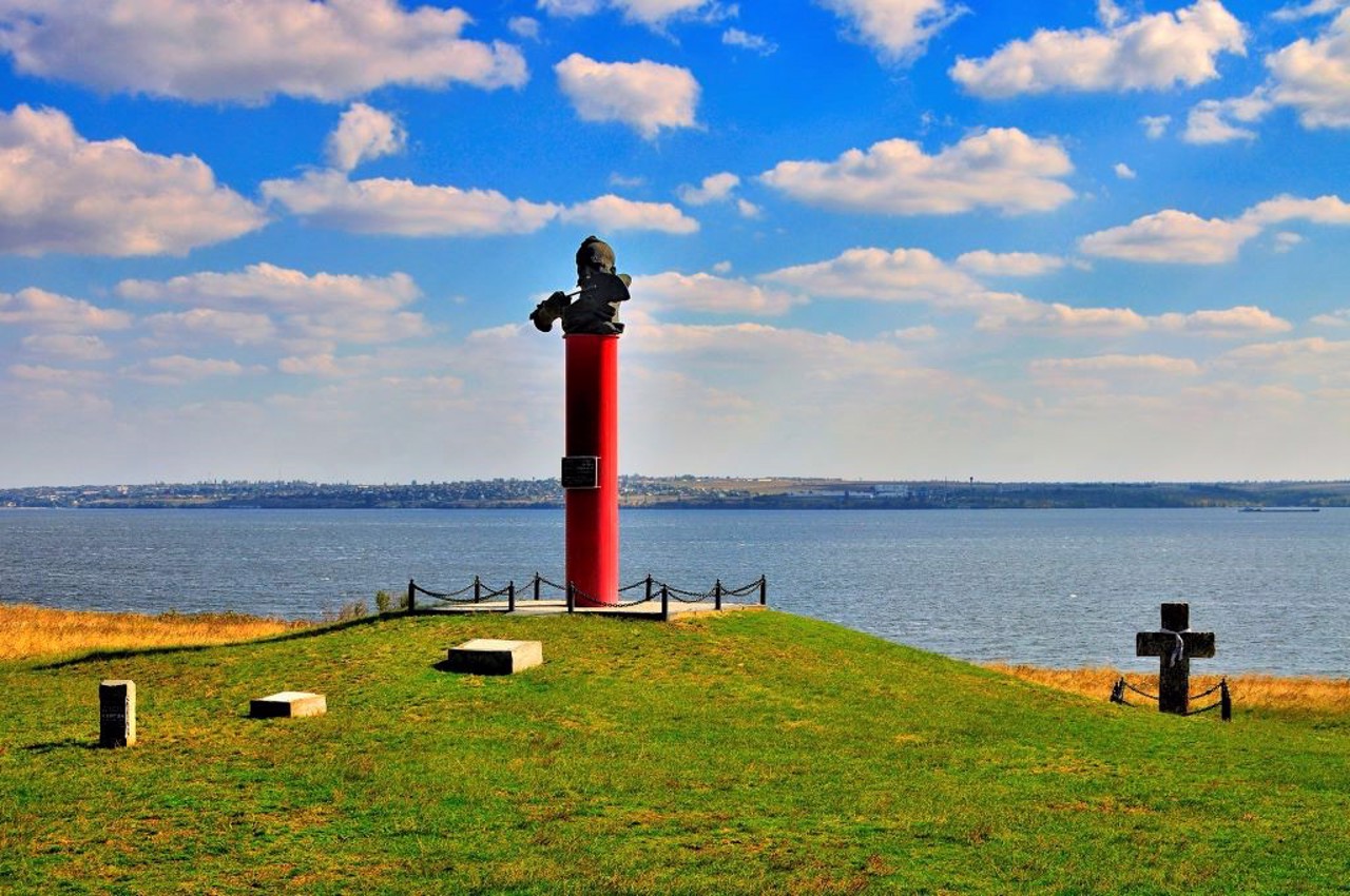
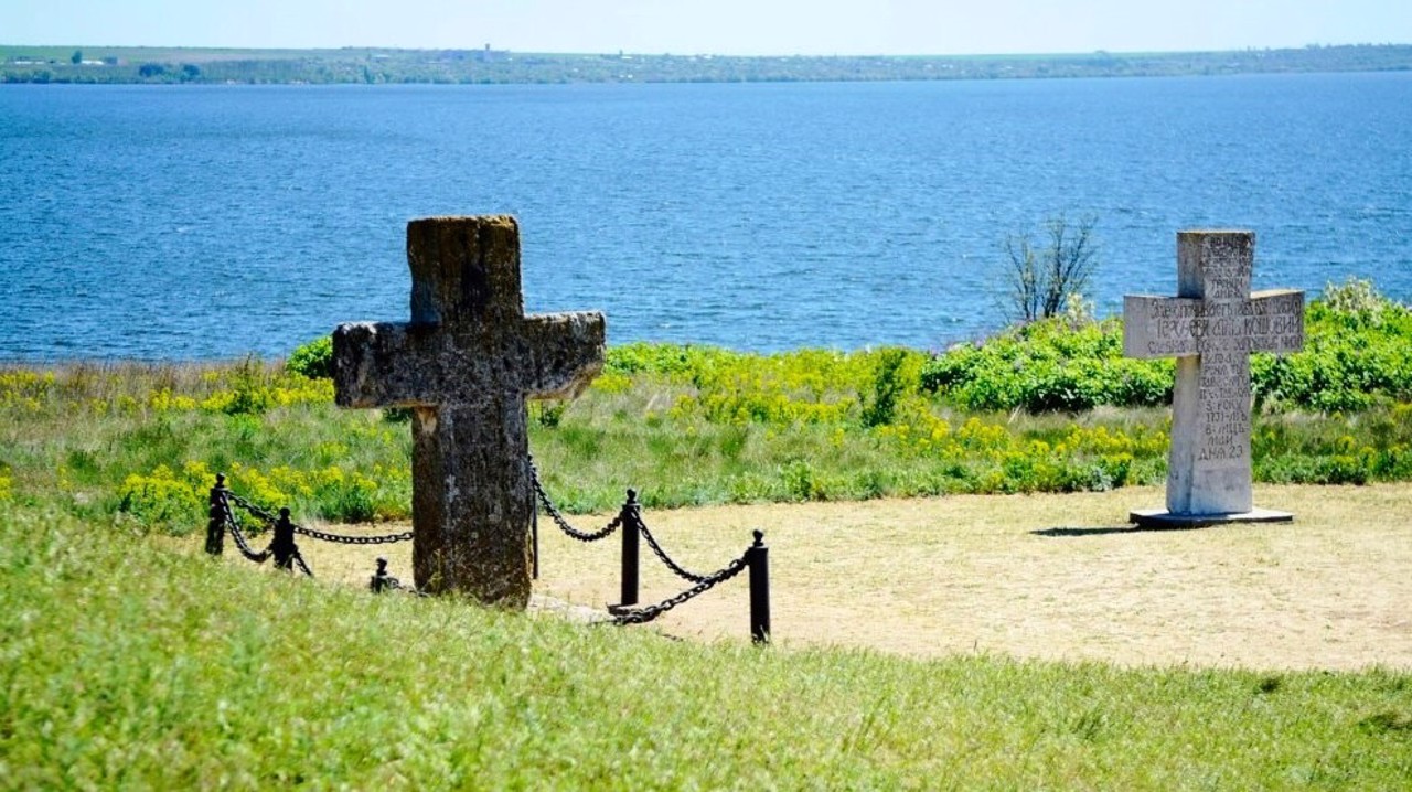
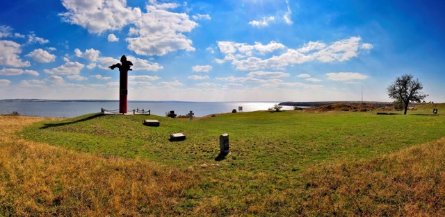
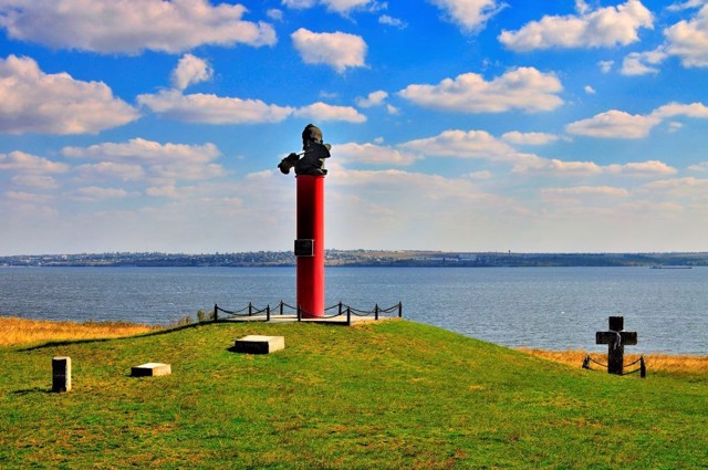
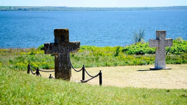
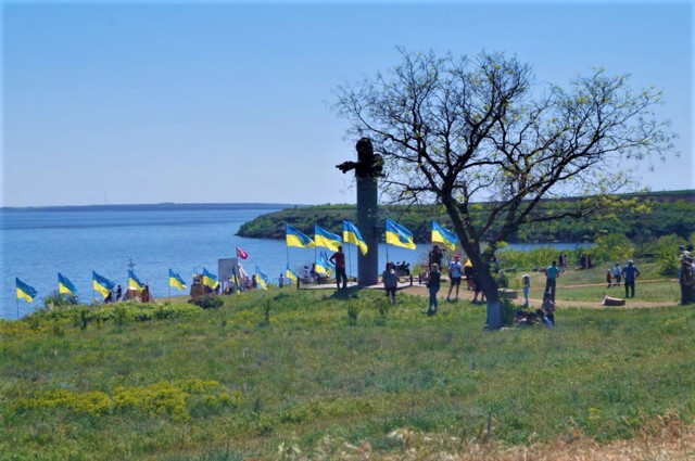
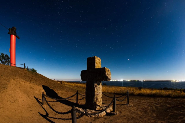
On the territory of Kamyanka Sich in 1733, Kost Hordiyenko, the kosh chieftain, was buried (a mound and a cross on the grave have been preserved). In the 19th century the economy of the landowner Aharkov was located at this place, thanks to which fragments of the buildings of Sich were preserved. Archaeological excavations are currently underway on the territory. A monument to Kost Hordiyenko was erected.
Село Республіканець розташоване на правому березі Каховського водосховища, в місці впадіння в Дніпро річки Кам'янки, в 50 кілометрах на північний схід від Нової Каховки.
Формально засноване в 1920 році, проте ще на початку XVIII сторіччя тут існувала Кам'янська Запорозька Січ - адміністративний і військовий центр запорозького козацтва в 1709-1711 і 1728-1734 роках. В перший раз вона була зруйнована за наказом царя Петра І. Після тимчасового базування Січі біля міста Олешки, в 1728 році запорожці повернулися в Кам'янку, але пізніше були змушені переселитися з Кам'янської Січі на річку Підпільну, де заснували Нову Січ.
На території Кам'янської Січі в 1733 році був похований кошовий ота ...
Село Республіканець розташоване на правому березі Каховського водосховища, в місці впадіння в Дніпро річки Кам'янки, в 50 кілометрах на північний схід від Нової Каховки.
Формально засноване в 1920 році, проте ще на початку XVIII сторіччя тут існувала Кам'янська Запорозька Січ - адміністративний і військовий центр запорозького козацтва в 1709-1711 і 1728-1734 роках. В перший раз вона була зруйнована за наказом царя Петра І. Після тимчасового базування Січі біля міста Олешки, в 1728 році запорожці повернулися в Кам'янку, але пізніше були змушені переселитися з Кам'янської Січі на річку Підпільну, де заснували Нову Січ.
На території Кам'янської Січі в 1733 році був похований кошовий отаман Кость Гордієнко (зберігся курган і хрест на могилі). В XIX столітті на цьому місці була розташована економія поміщика Агаркова, завдяки якому були збережені фрагменти будівель Січі. Зараз на території тривають археологічні розкопки. Встановлено пам'ятник Костю Гордієнкові.
Сплануй своє перебування у Respublikanets
What to see and where to go in Respublikanets
Tourist attractions and museums of Respublikanets
Kamyanska Sich
Historic area , Monument , Archaeological site
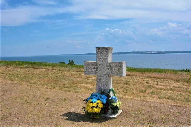
Тational importance мonument of history Kamianska Sich is the remains of one of the most preserved of several Zaporizhzhia Sichs that existed in Ukraine from the 16th to the 18th centuries. Sich was a defensive fortress that served as the administrative and military center of the Zaporizhzhia Cossacks.
Kamyanska Sich was founded by the Cossacks near the confluence of the Kamyanka River with the Dnipro in 1709, after the destruction of Chortomlytska Sich by the tsarist troops. In 1711, it was also destroyed by order of Tsar Peter I, and the Cossacks were forced to retreat down the Dnipro to the possession of the Crimean Khanate.
In 1728, Kamyanska Sich was revived and lasted until 1734, after which the Zaporozhzhians moved to the Pidpilna River, where they founded Nova Sich. Later, a landlord economy was located on the site of the Cossack fortress, but some fragments of the fortress buildings of the 18th century have also been preserved. They are currently being studied by historians and archaeologists.
The grave of Kost Hordiyenko, the chieftain of Kosh, with a stone cross, has been preserved, and a monument to the chieftain has been erected.
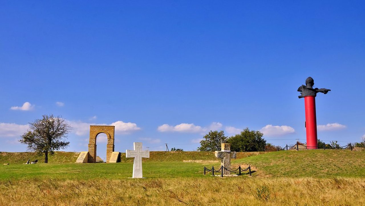
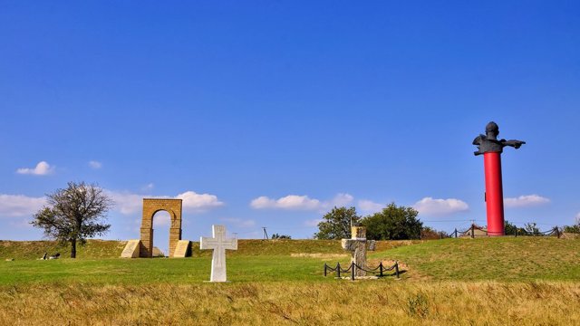
Since 2009, the Kamianska Sich historical and cultural monument has been under the protection of the Khortytsia National Reserve, a branch of the reserve operates here. A symbolic entry gate to the sich was installed and a lapidarium was set up, where stone monuments (grain graters, harmonicas, etc.) are collected. You can also see the grotto and the remains of the former estate of the landowner Agarkov. Ukrainian Cossacks and patriotic circles of the Kherson region celebrate public holidays and hold solemn events on the territory of the monument.
Kamyanska Sich National Nature Park was created in 2019 on an area of about 12,000 hectares on the basis of 2 large streams - Kamyanska and Mylivska. It also included the terrace of the Dnipro River between the villages of Chervony Mayak and Kachkarivka, the areas of the plakor adjacent to the beams and terraces, the water area of the Kakhovka Reservoir and the beams flooded by it below.
The territory and objects of the reserve were damaged as a result of the Russian bombing at the beginning of February 2024.
Respublikanets in news and blogs
Reviews Respublikanets
Geographical information about Respublikanets
| {{itemKey}} | {{itemValue}} |
|---|---|
| Region |
Kherson |
