Functional temporarily unavailable
Kamyanska Sich, Respublikanets
Historic area
Monument
Archaeological site
General information about Kamyanska Sich (Respublikanets)
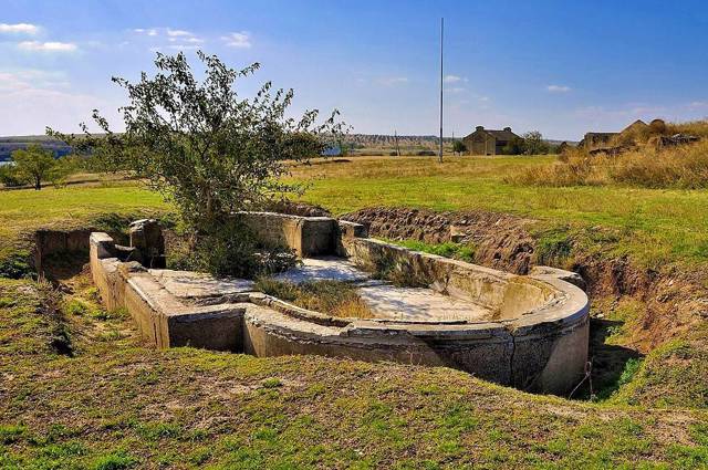
Тational importance мonument of history Kamianska Sich is the remains of one of the most preserved of several Zaporizhzhia Sichs that existed in Ukraine from the 16th to the 18th centuries. Sich was a defensive fortress that served as the administrative and military center of the Zaporizhzhia Cossacks.
Kamyanska Sich was founded by the Cossacks near the confluence of the Kamyanka River with the Dnipro in 1709, after the destruction of Chortomlytska Sich by the tsarist troops. In 1711, it was also destroyed by order of Tsar Peter I, and the Cossacks were forced to retreat down the Dnipro to the possession of the Crimean Khanate.
In 1728, Kamyanska Sich was revived and lasted until 1734, after which the Zaporozhzhians moved to the Pidpilna River, where they founded Nova S ...
Тational importance мonument of history Kamianska Sich is the remains of one of the most preserved of several Zaporizhzhia Sichs that existed in Ukraine from the 16th to the 18th centuries. Sich was a defensive fortress that served as the administrative and military center of the Zaporizhzhia Cossacks.
Kamyanska Sich was founded by the Cossacks near the confluence of the Kamyanka River with the Dnipro in 1709, after the destruction of Chortomlytska Sich by the tsarist troops. In 1711, it was also destroyed by order of Tsar Peter I, and the Cossacks were forced to retreat down the Dnipro to the possession of the Crimean Khanate.
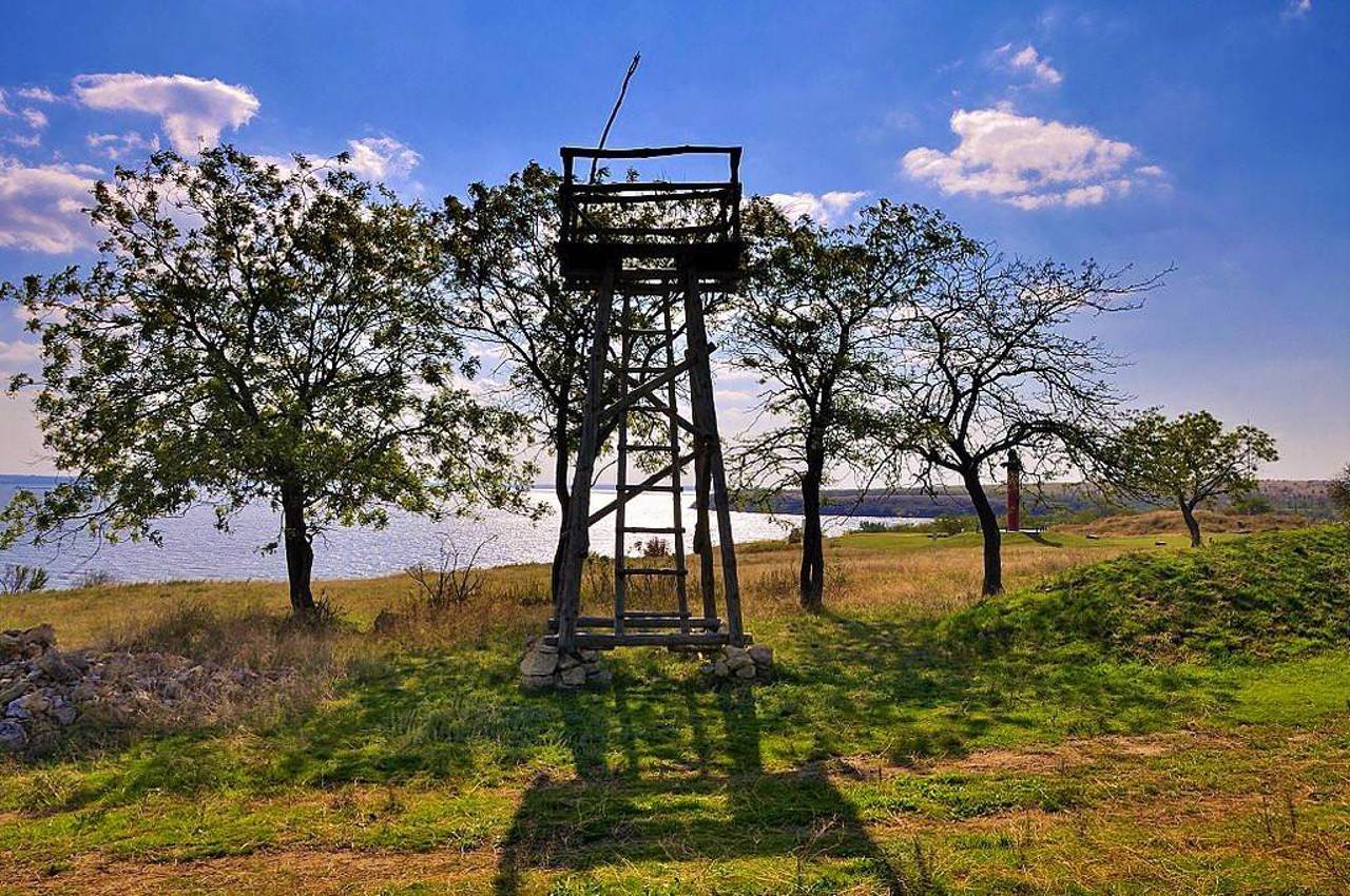
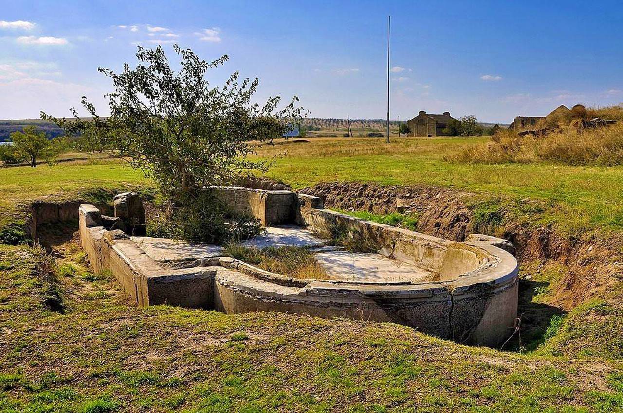
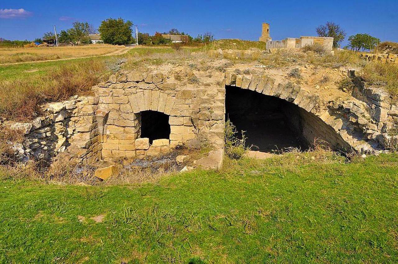
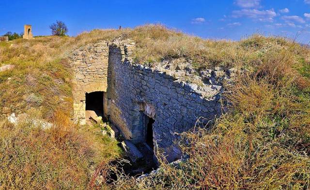
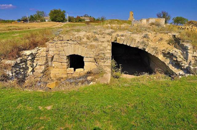
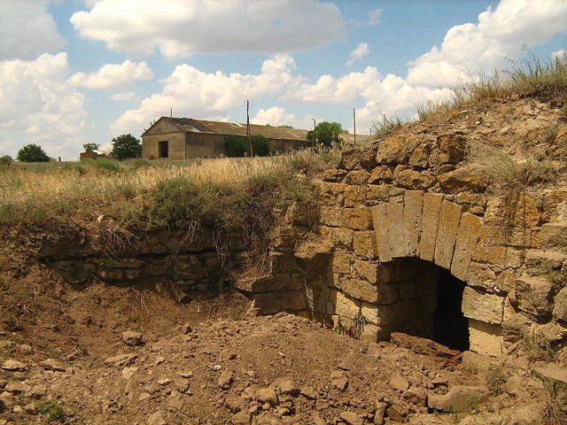
In 1728, Kamyanska Sich was revived and lasted until 1734, after which the Zaporozhzhians moved to the Pidpilna River, where they founded Nova Sich. Later, a landlord economy was located on the site of the Cossack fortress, but some fragments of the fortress buildings of the 18th century have also been preserved. They are currently being studied by historians and archaeologists.
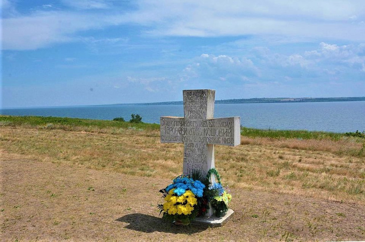
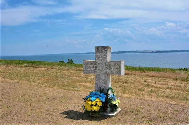
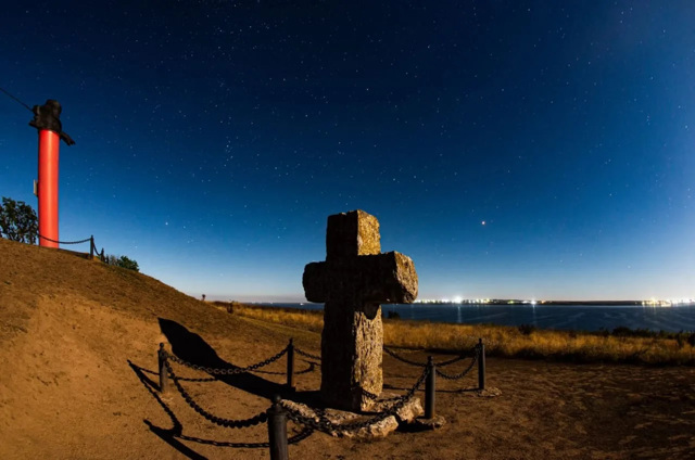
The grave of Kost Hordiyenko, the chieftain of Kosh, with a stone cross, has been preserved, and a monument to the chieftain has been erected.
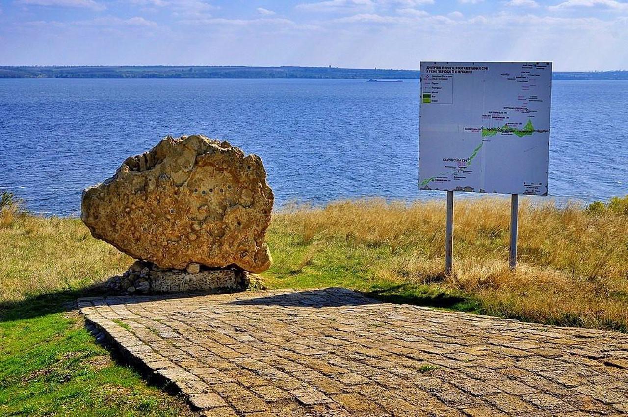
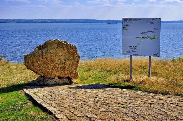
Since 2009, the Kamianska Sich historical and cultural monument has been under the protection of the Khortytsia National Reserve, a branch of the reserve operates here. A symbolic entry gate to the sich was installed and a lapidarium was set up, where stone monuments (grain graters, harmonicas, etc.) are collected. You can also see the grotto and the remains of the former estate of the landowner Agarkov. Ukrainian Cossacks and patriotic circles of the Kherson region celebrate public holidays and hold solemn events on the territory of the monument.
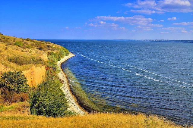
Kamyanska Sich National Nature Park was created in 2019 on an area of about 12,000 hectares on the basis of 2 large streams - Kamyanska and Mylivska. It also included the terrace of the Dnipro River between the villages of Chervony Mayak and Kachkarivka, the areas of the plakor adjacent to the beams and terraces, the water area of the Kakhovka Reservoir and the beams flooded by it below.
The territory and objects of the reserve were damaged as a result of the Russian bombing at the beginning of February 2024.
Пам'ятка історії національного значення Кам'янська Січ – це залишки однієї з найбільш збережених з кількох Запорозьких Січей, що існували в Україні з XVI по XVIII століття. Січ була оборонною фортецею, яка виконувала функції адміністративного та військового центру запорозького козацтва.
Кам'янська Січ була заснована козаками біля впадання річки Кам'янка в Дніпро в 1709 році, після руйнування царськими військами Чортомлицької Січі. В 1711 році і її було знищено за наказом царя Петра І, а козаки змушені були відійти вниз по Дніпру у володіння Кримського ханства.
В 1728 році Кам'янська Січ була відроджена, проіснувала до 1734 року, після чого запорожці переселилися на річку Підпільну, де заснували Нову Січ. На місці козацької фортеці згодом р ...
Пам'ятка історії національного значення Кам'янська Січ – це залишки однієї з найбільш збережених з кількох Запорозьких Січей, що існували в Україні з XVI по XVIII століття. Січ була оборонною фортецею, яка виконувала функції адміністративного та військового центру запорозького козацтва.
Кам'янська Січ була заснована козаками біля впадання річки Кам'янка в Дніпро в 1709 році, після руйнування царськими військами Чортомлицької Січі. В 1711 році і її було знищено за наказом царя Петра І, а козаки змушені були відійти вниз по Дніпру у володіння Кримського ханства.
В 1728 році Кам'янська Січ була відроджена, проіснувала до 1734 року, після чого запорожці переселилися на річку Підпільну, де заснували Нову Січ. На місці козацької фортеці згодом розташовувалася поміщицька економія, але збереглися й окремі фрагменти фортечних споруд XVIII сторіччя. Нині їх досліджують історики та археологи.
Збереглася могила кошового отамана Костя Гордієнка з кам'яним хрестом, встановлено пам'ятник отаману.
З 2009 року історико-культурна пам’ятка Кам’янська Січ перебуває під охороною Національного заповідника "Хортиця", тут працює філія заповідника. Встановлено символічні в'їзні ворота до січі та облаштовано лапідарій, де зібрані кам’яні пам'ятки (зернотерки, гармани тощо). Також можна побачити грот та залишки колишнього маєтку поміщика Агаркова. На території памʼятки відзначають державні свята та проводять урочисті заходи українські козаки та патріотичні гуртки Херсонщини.
Національний природний парк "Кам’янська Січ" cтворений в 2019 році на площі близько 12 тисяч гектарів на основі 2 крупних балок – Кам’янської та Милівської. Також до його складу увійшли тераса річки Дніпро між селами Червоний Маяк та Качкарівка, прилеглі до балок та тераси ділянки плакору, акваторія Каховського водосховища та затоплених ним пониззя балок.
Територія та об'єкти заповідника отримали пошкодження внаслідок російського бомбардування на початку лютого 2024 року.
Practical information about Kamyanska Sich (Respublikanets)
Last update
4/6/2025
| Categories | Historic area, Monument, Archaeological site |
|---|---|
| Date of foundation | 1709 |
| Address |
Zaporizka Street, 42
Respublikanets |
| Coordinates |
46.99802° N, 33.65151° E
|
| Phone | +380 5546 51 643, |
|
https://www.facebook.com/Kamen... |
|
| Additional services |
Аccessibility information
Have you visited Kamyanska Sich in Respublikanets?
Add practical or descriptive information, photos, links
What to see, where to go next?

