Functional temporarily unavailable
Honcharne
Travel guide online Honcharne
General information about Honcharne
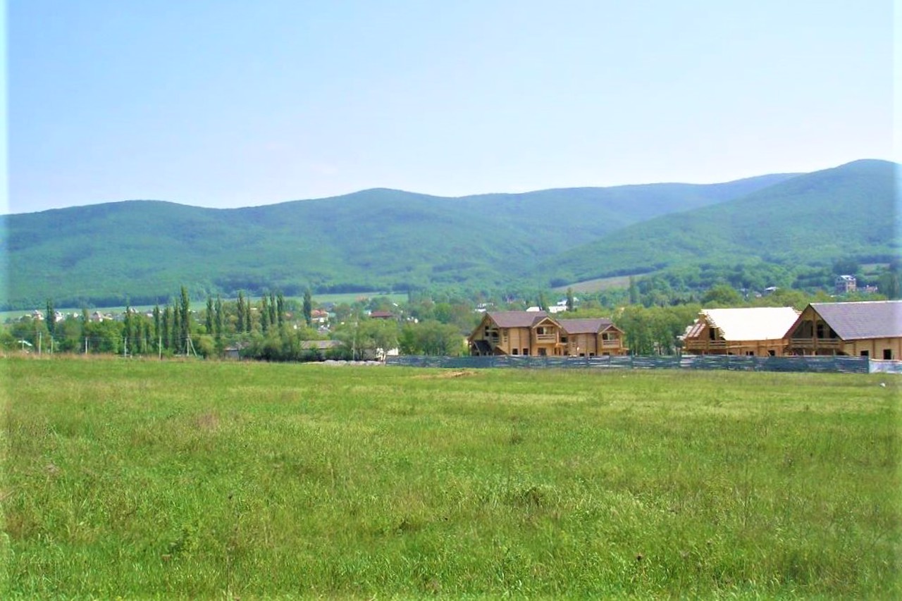
The village Honcharne is located in the Varnutska Valley between Sevastopol and Foros.
It has been known since 1783 as the village of Varnitka as part of the Crimean Khanate. The Mangup Cadillac was a part of the Bakhchysarai Kaimakanstvo. Since 1865, it has been mentioned in documents as the Tatar village of Varnutka in the Yalta District. This name persisted until 1945, when, after the forced deportation of Crimean Tatars by Soviet occupiers from Crimea to Central Asia, their emptied villages were massively renamed. For Varnutka, they chose the arbitrary name Honcharne, which did not have any toponymic basis.
In Soviet times, whe ...
The village Honcharne is located in the Varnutska Valley between Sevastopol and Foros.
It has been known since 1783 as the village of Varnitka as part of the Crimean Khanate. The Mangup Cadillac was a part of the Bakhchysarai Kaimakanstvo. Since 1865, it has been mentioned in documents as the Tatar village of Varnutka in the Yalta District. This name persisted until 1945, when, after the forced deportation of Crimean Tatars by Soviet occupiers from Crimea to Central Asia, their emptied villages were massively renamed. For Varnutka, they chose the arbitrary name Honcharne, which did not have any toponymic basis.
In Soviet times, when Sevastopol was a closed city, there was a checkpoint on the highway near the village.
There is a fountain with clean water in Honcharne, and a pond near the village.
Opposite the village is a German cemetery where Wehrmacht soldiers who died in Crimea during the Second World War are buried.
Село Гончарне розташоване в Варнутській долині між Севастополем і Форосом.
Відоме з 1783 року як селище Варнітка в складі Кримського ханства. Входило до Бахчисарайського каймаканства Мангупського кадилика. З 1865 року згадується в документах як татарське село Варнутка в складі Ялтинського повіту. Ця назва зберігалася до 1945 року, коли після примусової депортації кримських татар радянськими окупантами із Криму в Середню Азію їх спорожнілі села масово перейменовували. Для Варнутки обрали довільну назву Гончарне, яка не мала жодної топонімічної основи.
В радянські часи, коли Севастополь був закритим містом, на трасі поблизу села знах ...
Село Гончарне розташоване в Варнутській долині між Севастополем і Форосом.
Відоме з 1783 року як селище Варнітка в складі Кримського ханства. Входило до Бахчисарайського каймаканства Мангупського кадилика. З 1865 року згадується в документах як татарське село Варнутка в складі Ялтинського повіту. Ця назва зберігалася до 1945 року, коли після примусової депортації кримських татар радянськими окупантами із Криму в Середню Азію їх спорожнілі села масово перейменовували. Для Варнутки обрали довільну назву Гончарне, яка не мала жодної топонімічної основи.
В радянські часи, коли Севастополь був закритим містом, на трасі поблизу села знаходився КПП.
В Гончарному є фонтан з чистою водою, а поруч з селом - ставок.
Навпроти села розташоване німецьке кладовище, де поховані солдати Вермахту, які загинули в Криму в роки Другої світової війни.
Сплануй своє перебування у Honcharne
What to see and where to go in Honcharne
Reviews Honcharne
Geographical information about Honcharne
| {{itemKey}} | {{itemValue}} |
|---|---|
| Region |
Autonomous Republic of Crimea |


