Functional temporarily unavailable
Pidhirne
Travel guide online Pidhirne
General information about Pidhirne
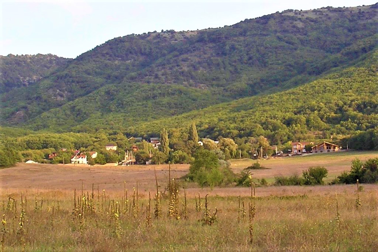
The village Pidhirne is located in the center of the Baydar Valley, at the foot of Mount Kalendy-Bair (in Crimean Tatar - "main mountain"), 4 kilometers from Orlyne.
Before the forced deportation of Crimean Tatars by Soviet occupiers from Crimea to Central Asia in 1944, the village was called Kalendo. According to one version, the name comes from the Turkic Kale-enda - "ruined fortress" (there are remains of a medieval fortress nearby). According to another, the name has a Roman origin ("calendar" is the first month of the Roman calendar).
The Kalendska path (the old Roman road that connected the fortress of Harax and Chersonesus) leads to the popular Devil's Stairs. In ...
The village Pidhirne is located in the center of the Baydar Valley, at the foot of Mount Kalendy-Bair (in Crimean Tatar - "main mountain"), 4 kilometers from Orlyne.
Before the forced deportation of Crimean Tatars by Soviet occupiers from Crimea to Central Asia in 1944, the village was called Kalendo. According to one version, the name comes from the Turkic Kale-enda - "ruined fortress" (there are remains of a medieval fortress nearby). According to another, the name has a Roman origin ("calendar" is the first month of the Roman calendar).
The Kalendska path (the old Roman road that connected the fortress of Harax and Chersonesus) leads to the popular Devil's Stairs. In many places, cobbled areas have been preserved.
Село Підгірне розташоване в центрі Байдарської долини, біля підніжжя гори Календи-Баїр (кримськотатарською - "головна гора"), в 4 кілометрах від Орлиного.
До примусової депортації кримських татар радянськими окупантами із Криму в Середню Азію в 1944 році село мало назву Календо. За однією з версій, назва походить від тюркського Кале-енди - "зруйнована фортеця" (поруч є залишки середньовічної фортеці). За іншою, назва має римське походження ( "календи" - перший місяць римського календаря).
Календська стежка (стара римська дорога, що з'єднувала фортецю Харакс і Херсонес) веде до популярних Чортових сходів. У багатьох місцях збереглися бруковані кругляком ділянки.
Сплануй своє перебування у Pidhirne
What to see and where to go in Pidhirne
Reviews Pidhirne
Geographical information about Pidhirne
| {{itemKey}} | {{itemValue}} |
|---|---|
| Region |
Autonomous Republic of Crimea |


